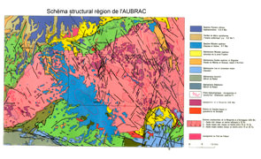
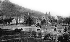
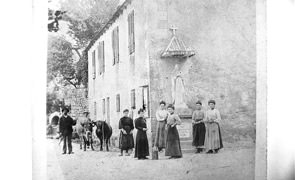
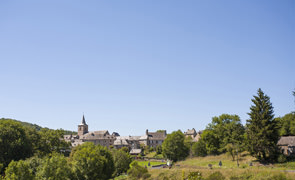
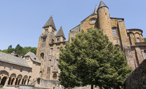
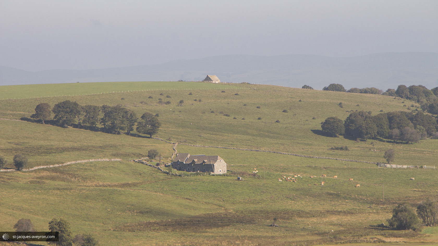
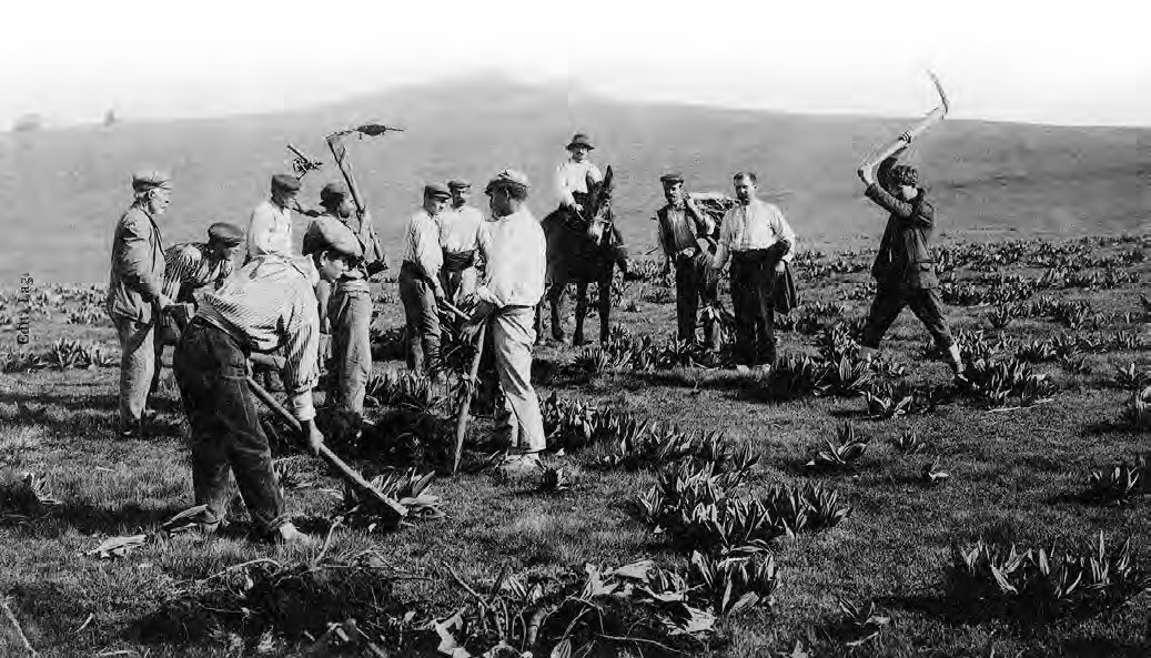
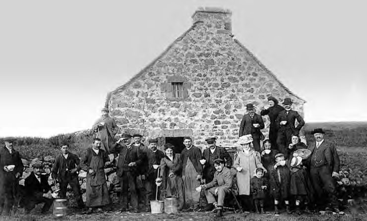
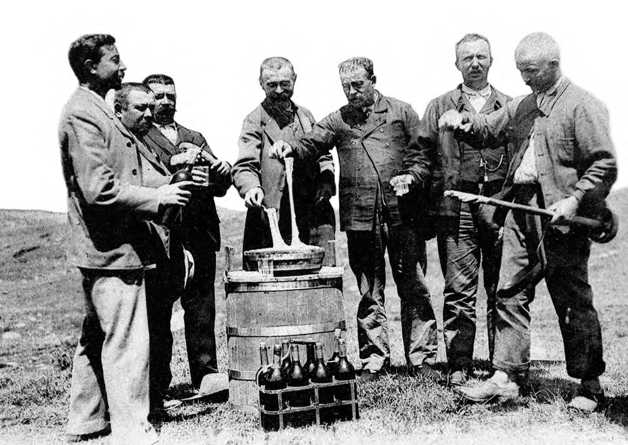
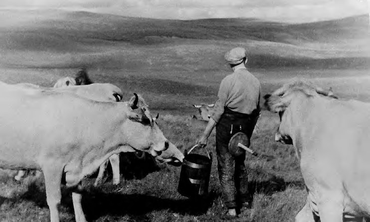
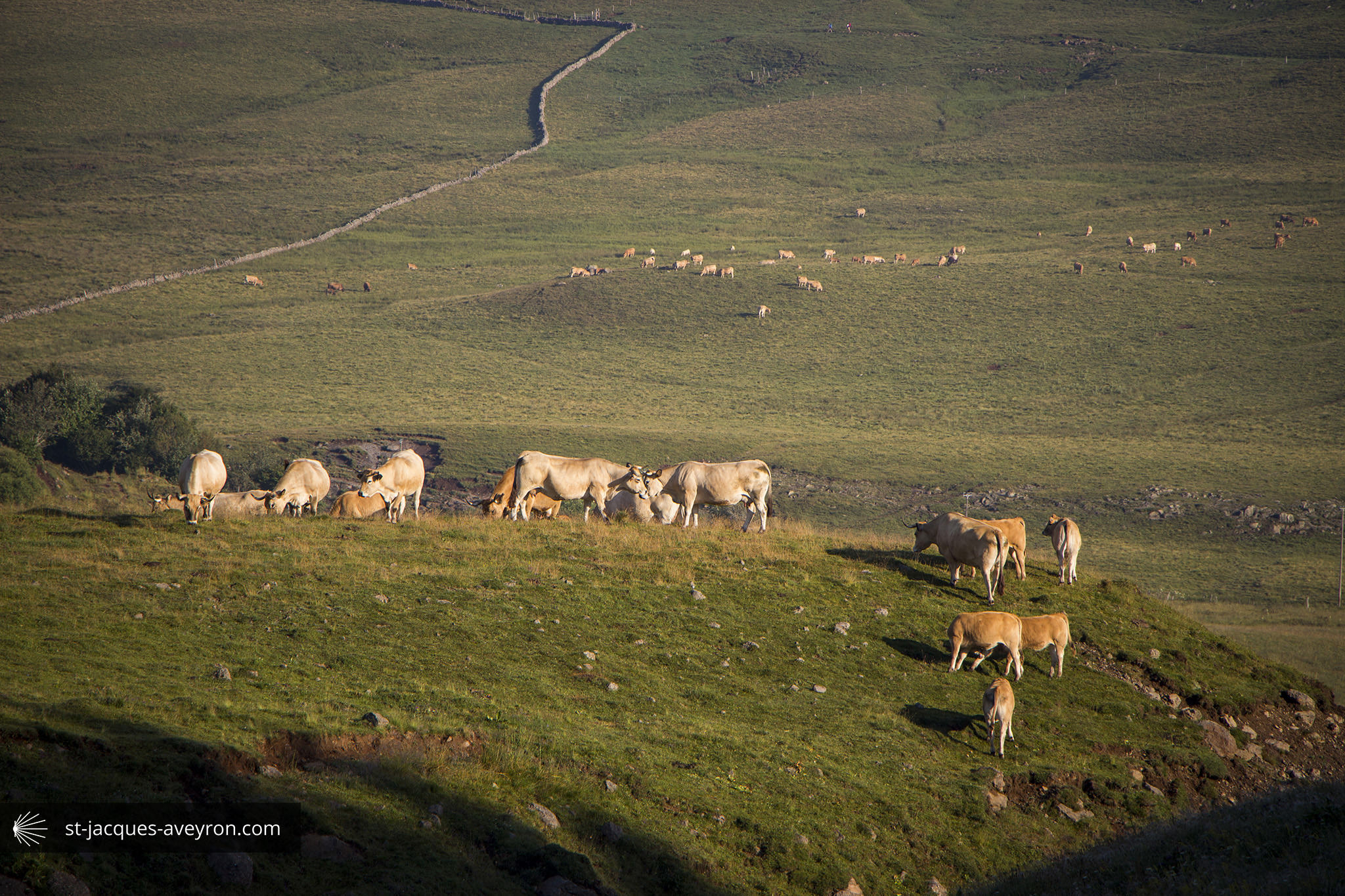
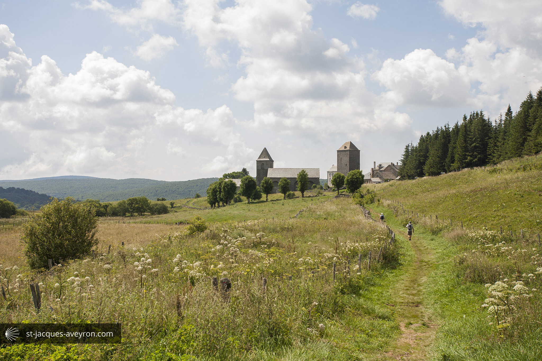
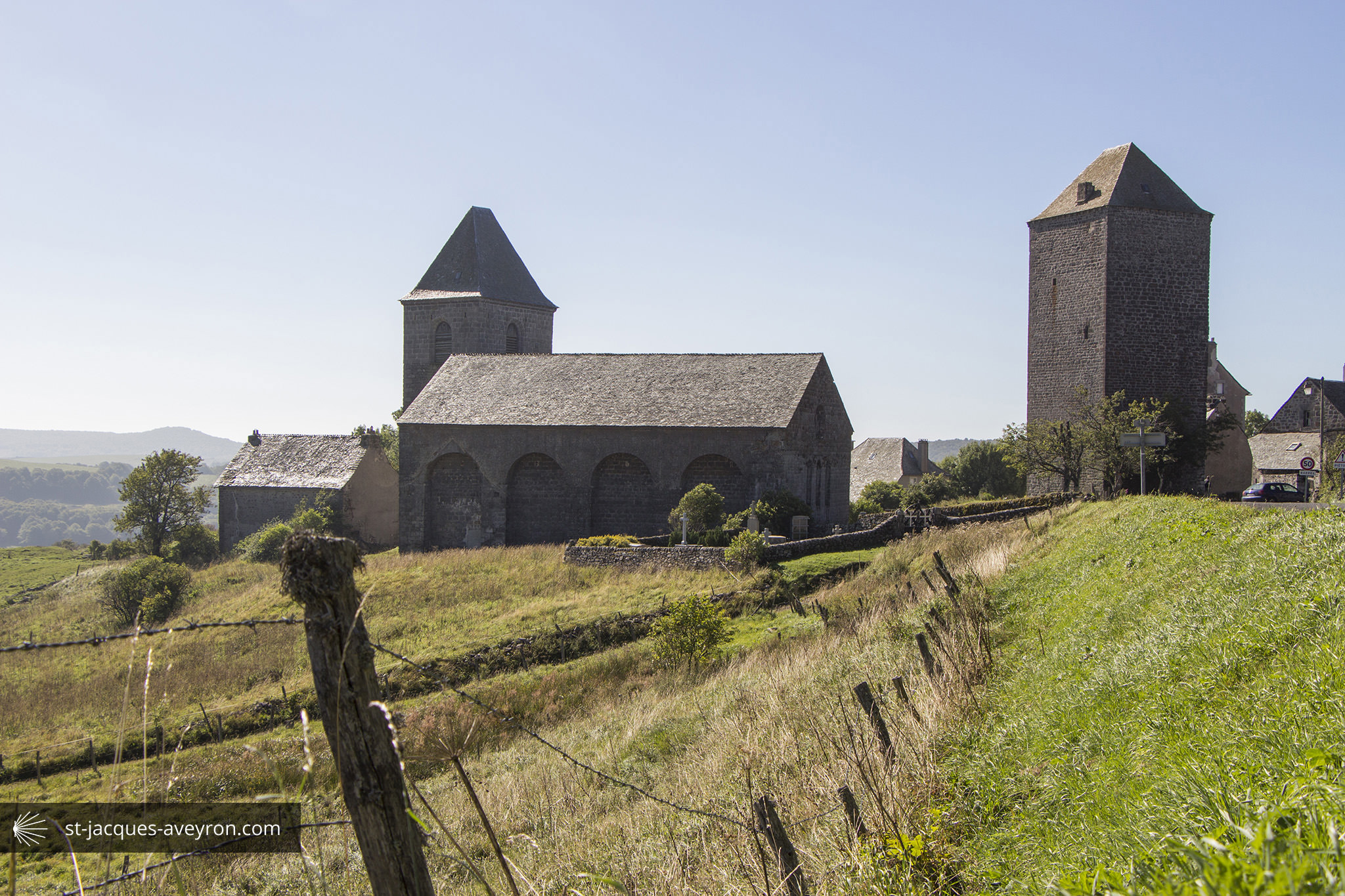
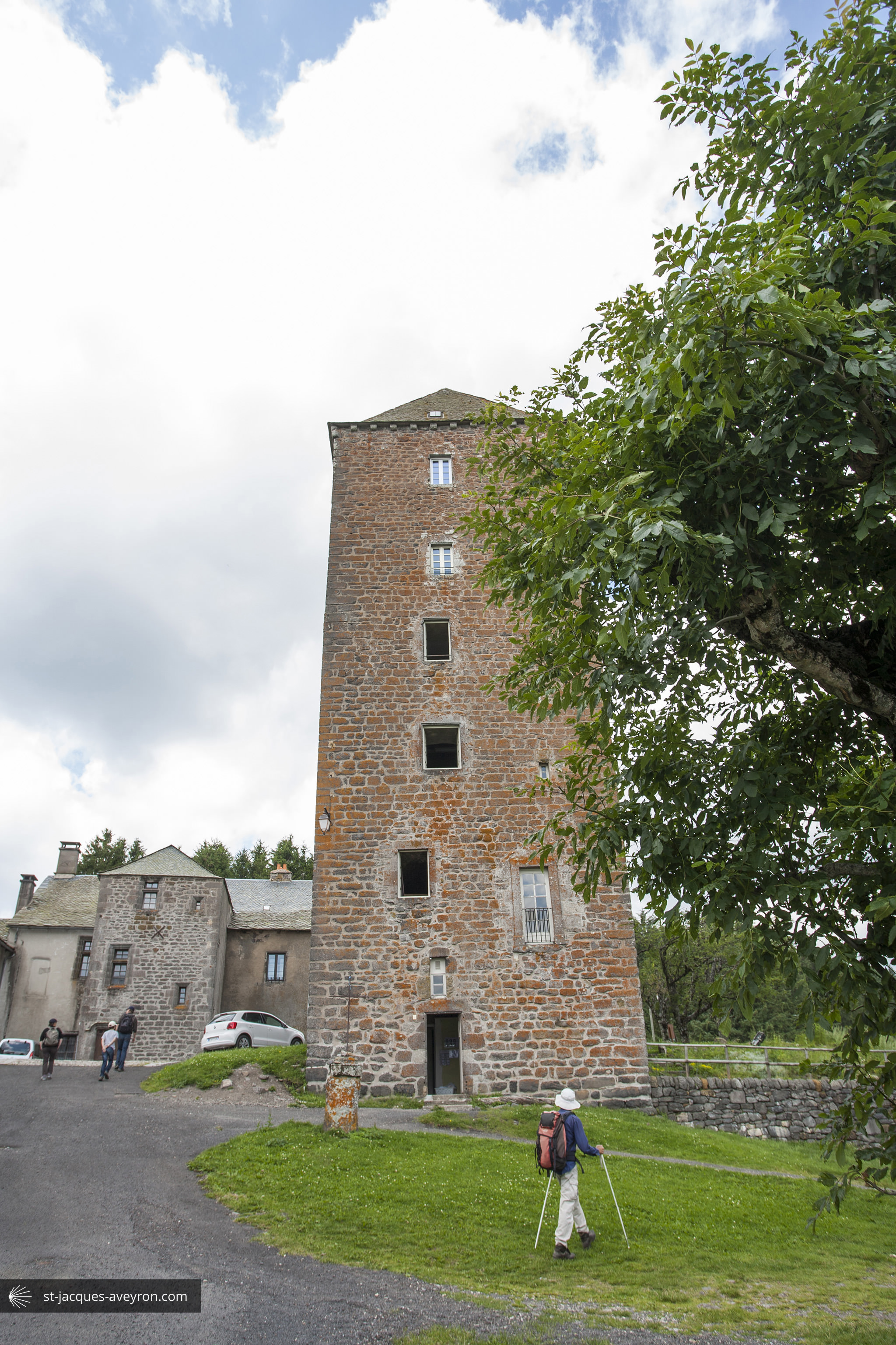
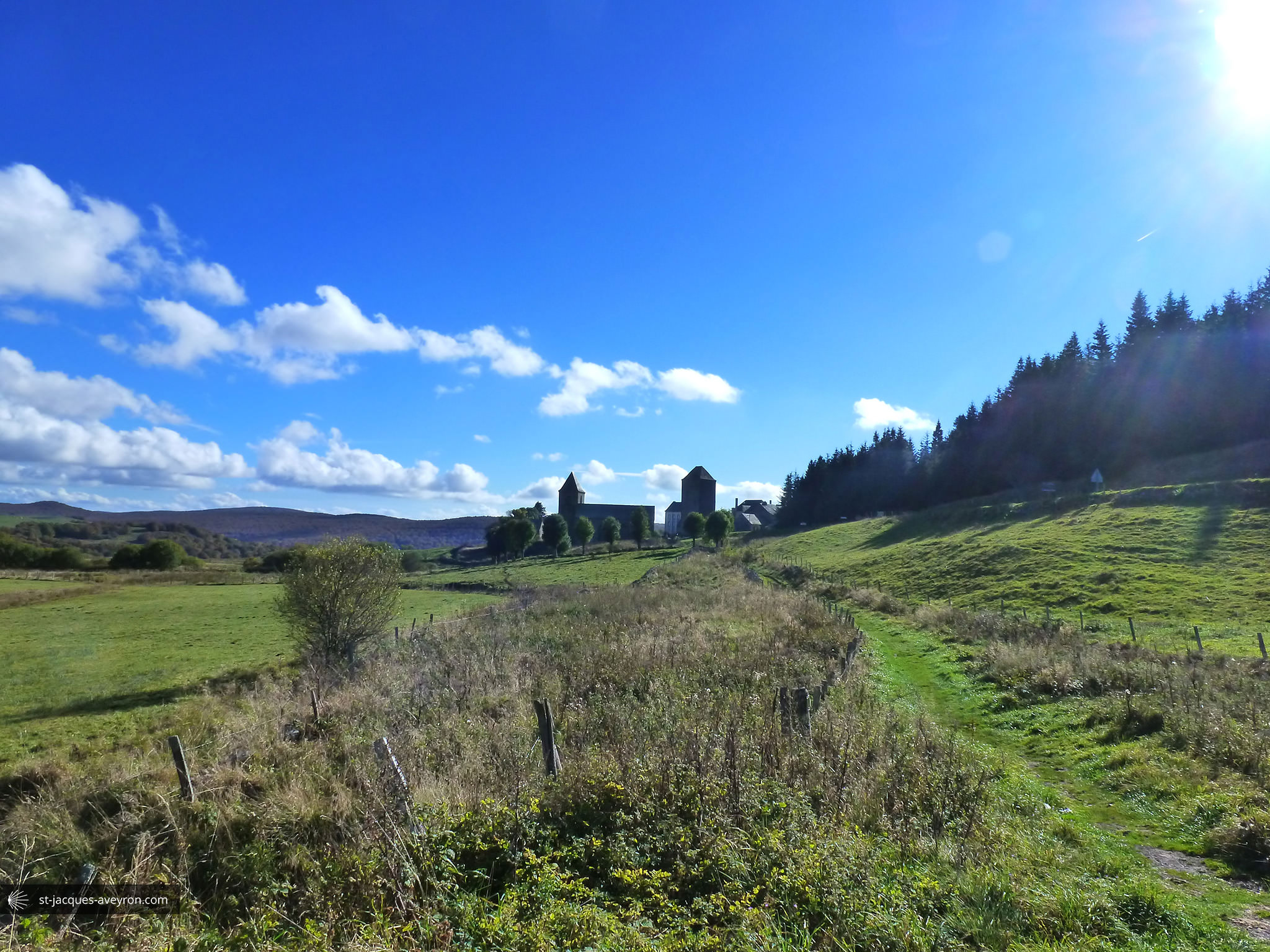
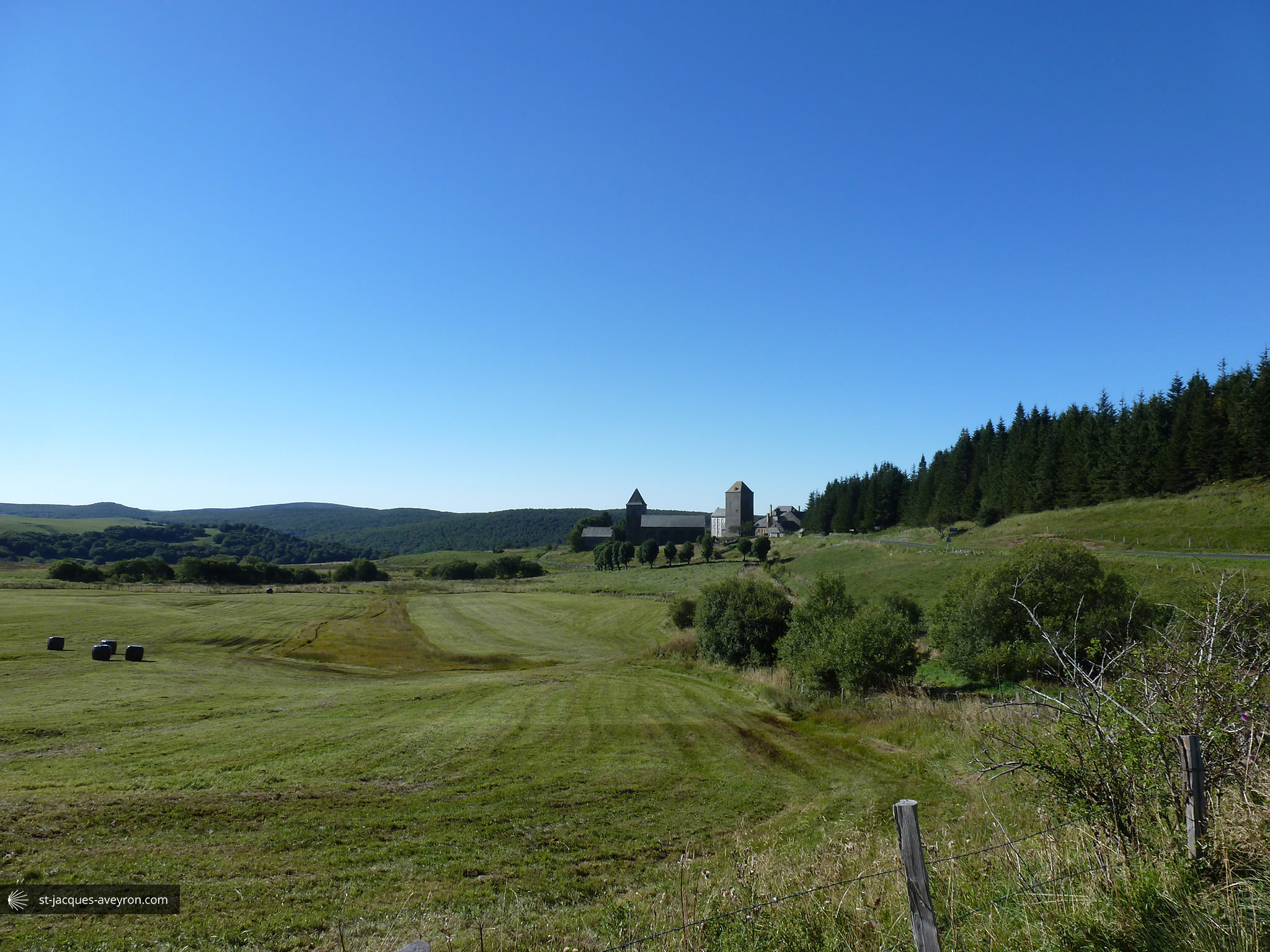
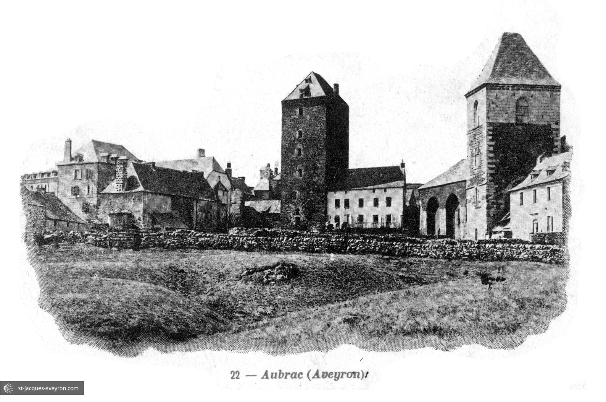
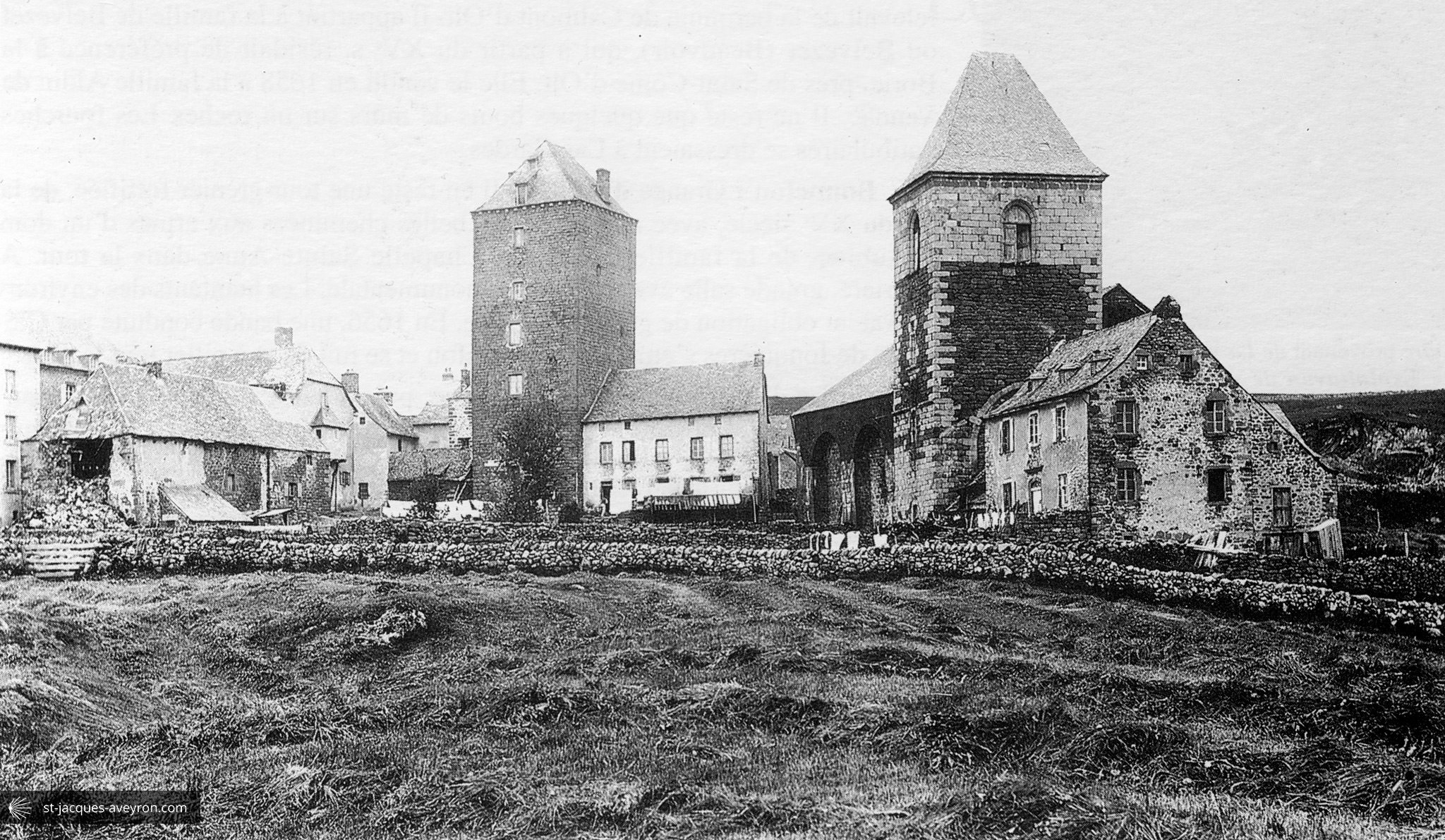
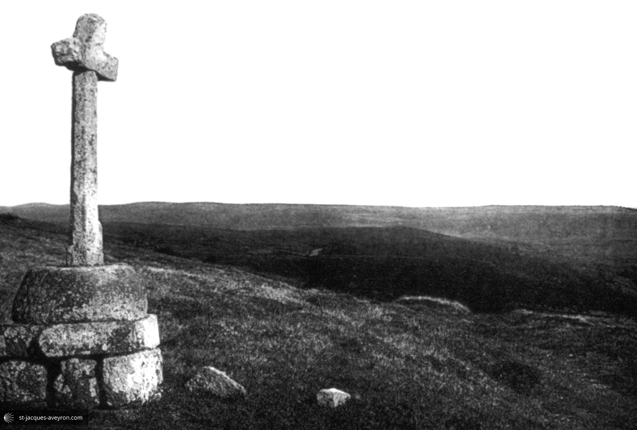
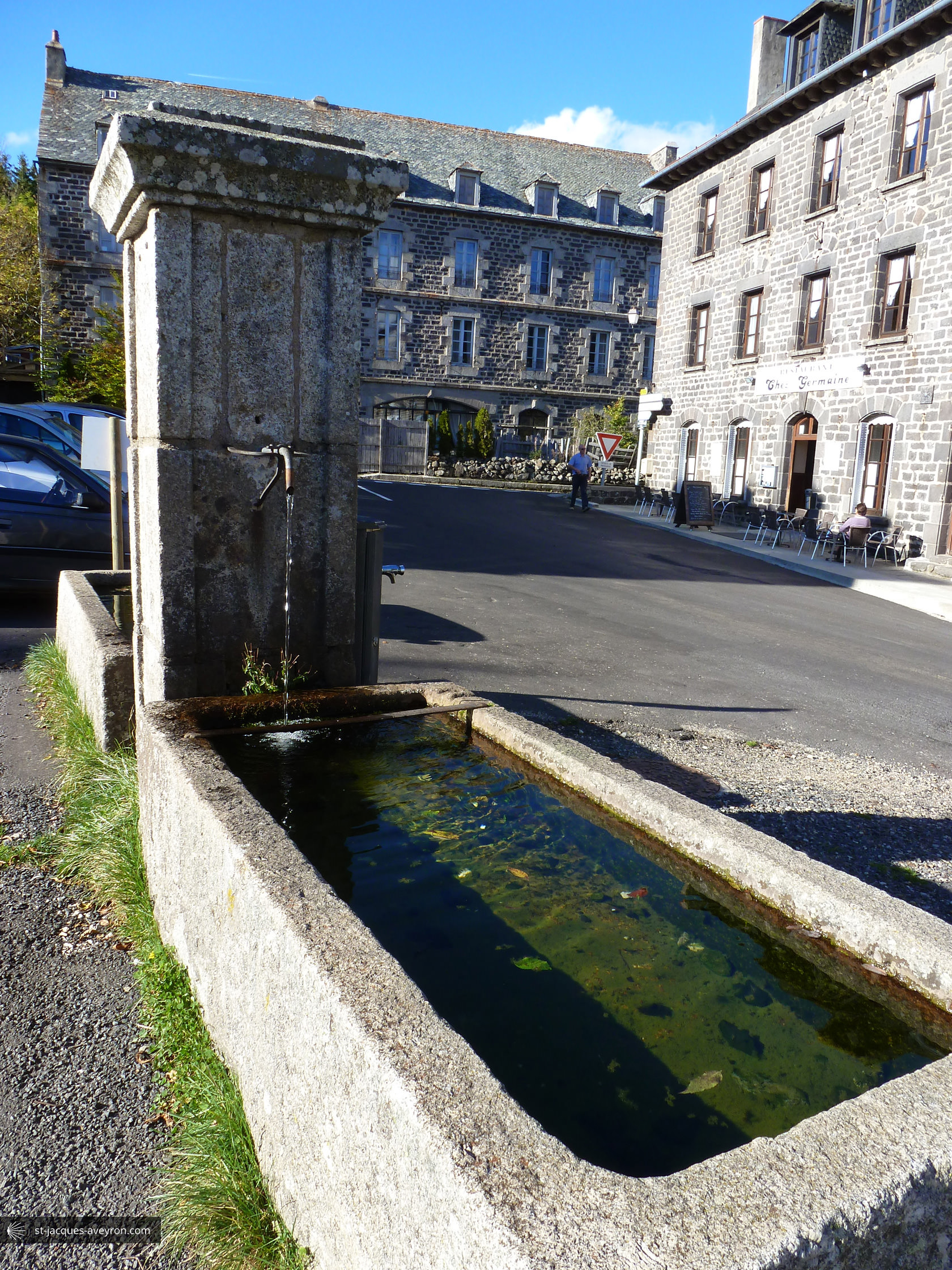
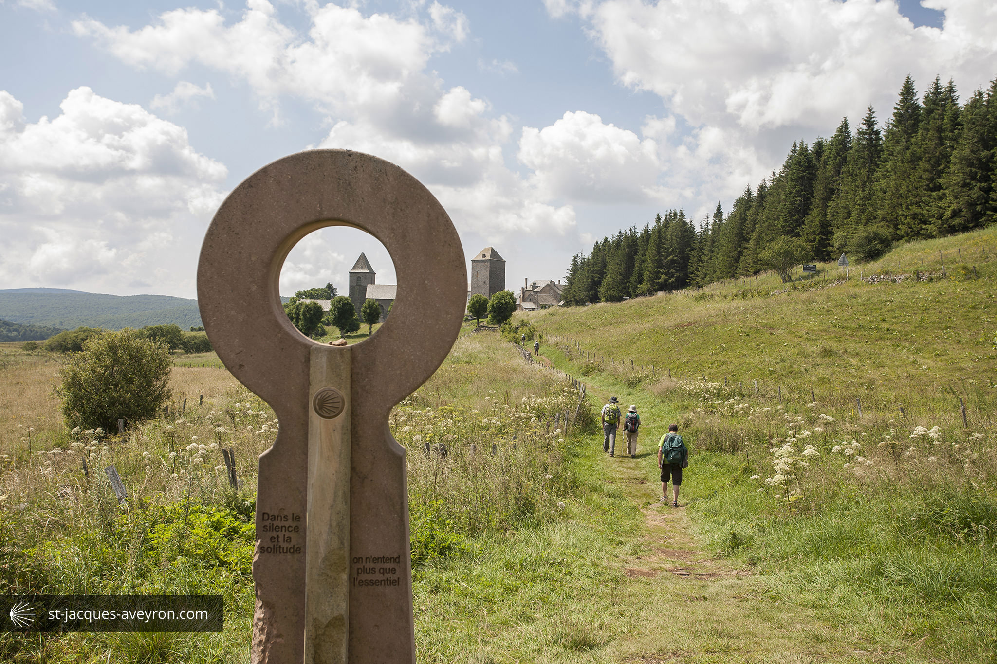
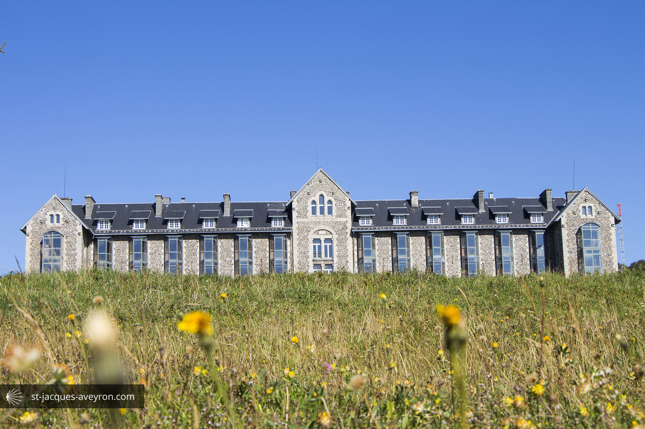
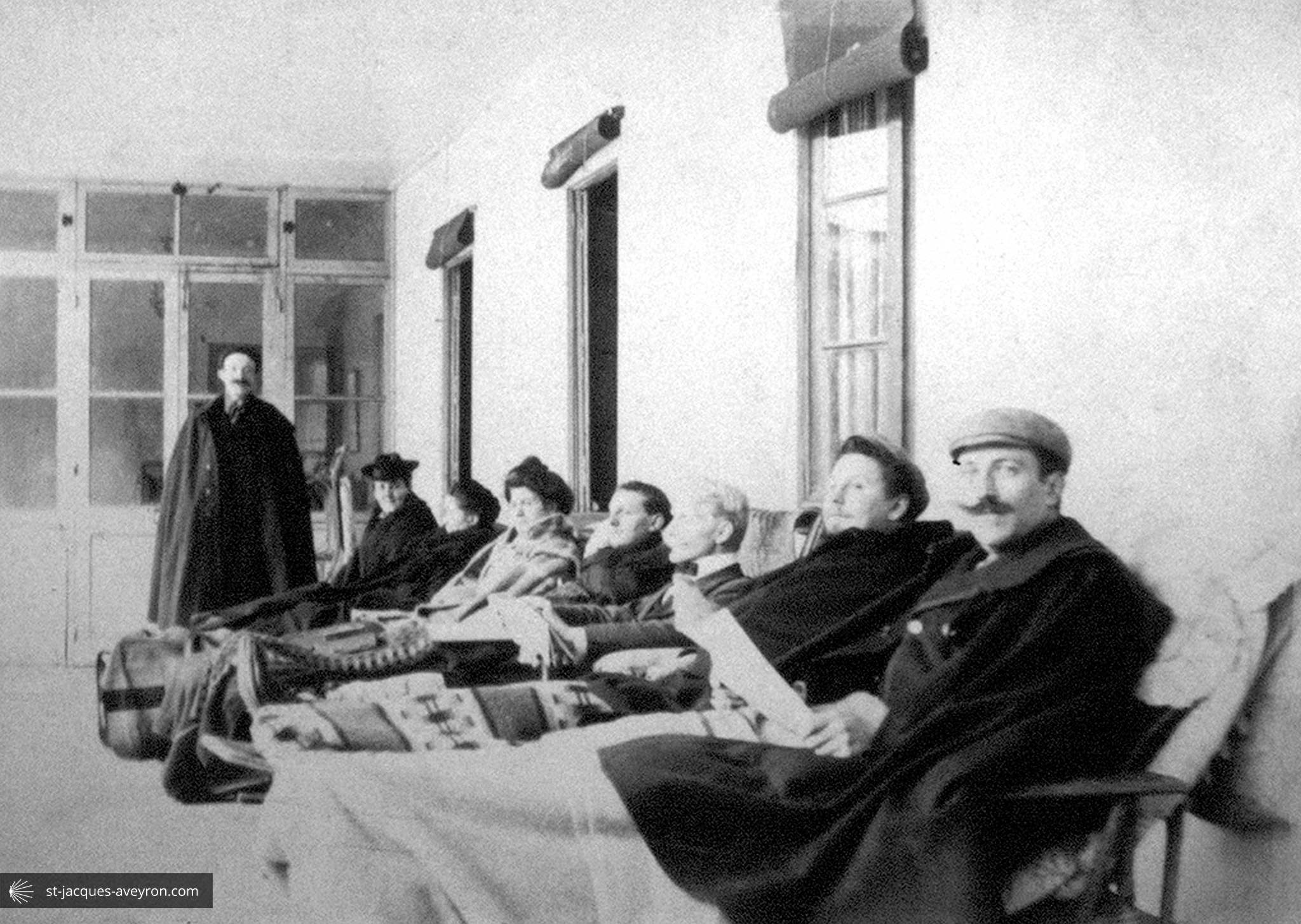
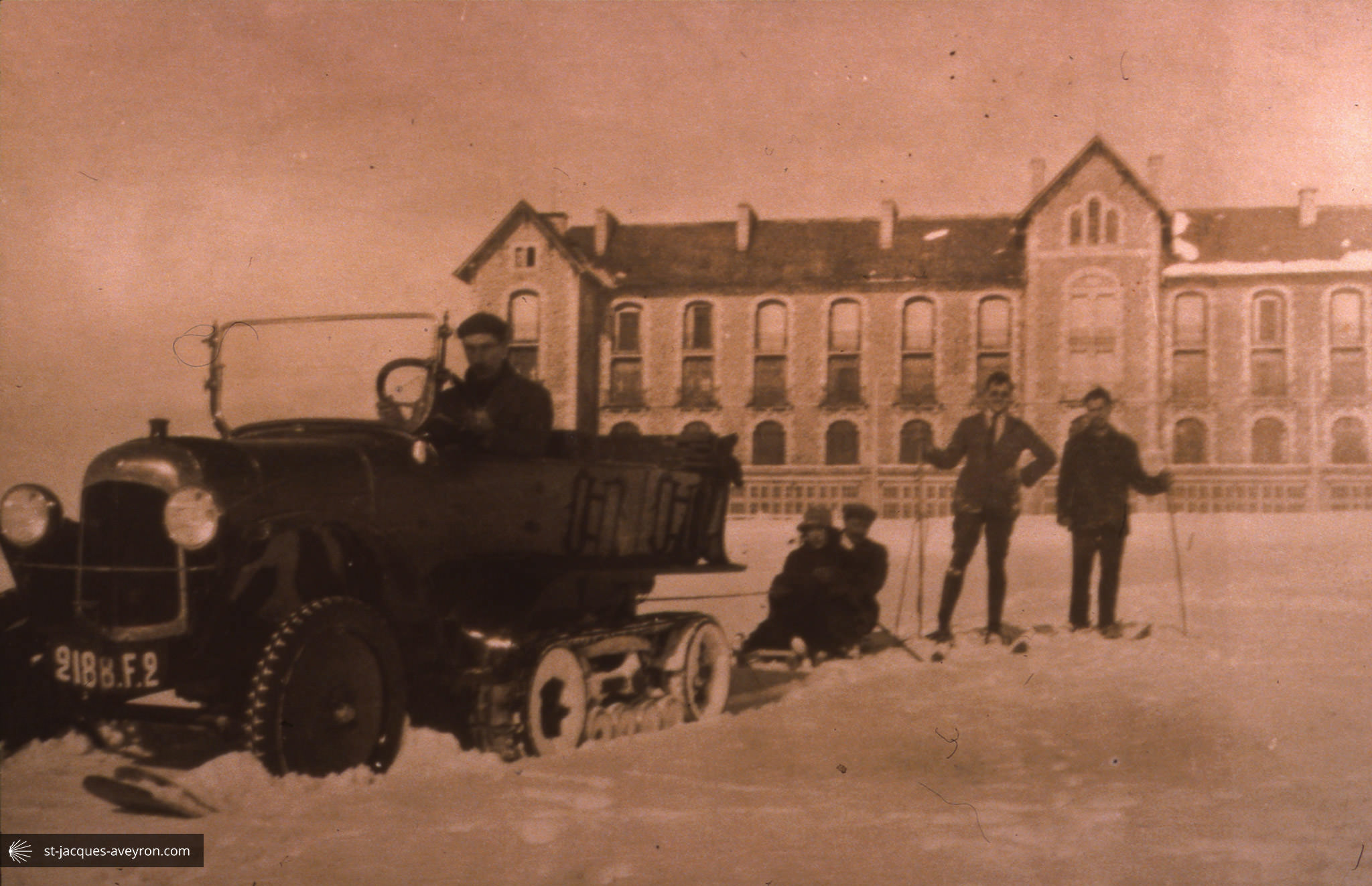
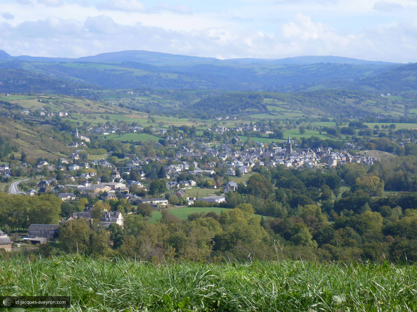
Aubrac


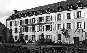
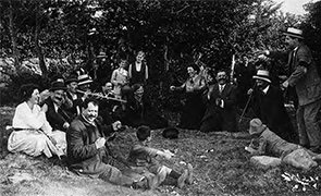
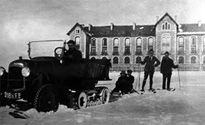
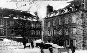
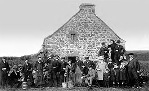
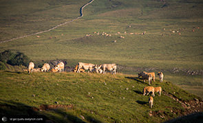

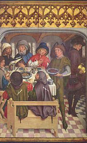

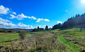
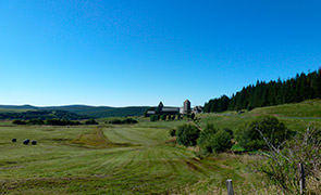
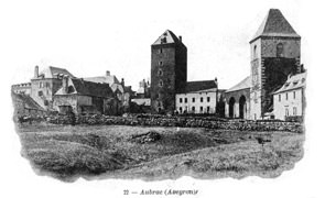
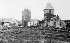
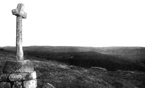
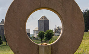
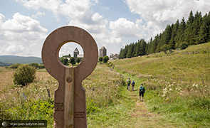
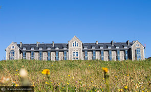
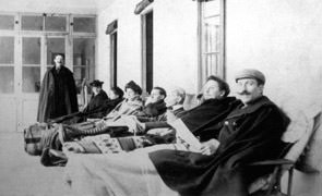
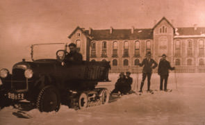
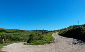
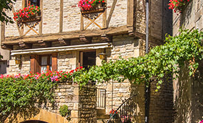
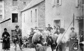
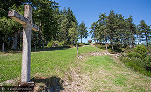
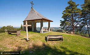
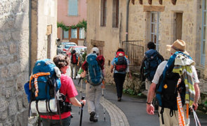
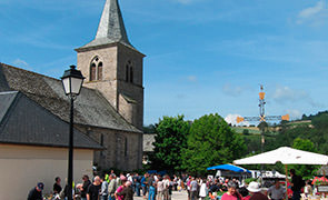
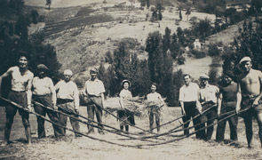
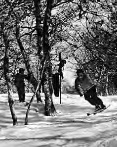
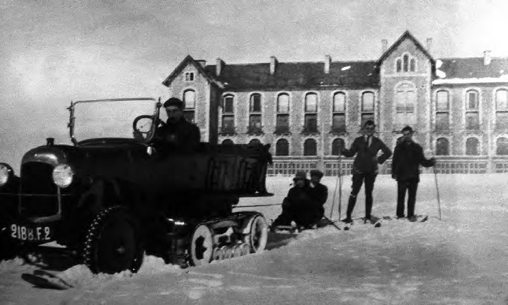
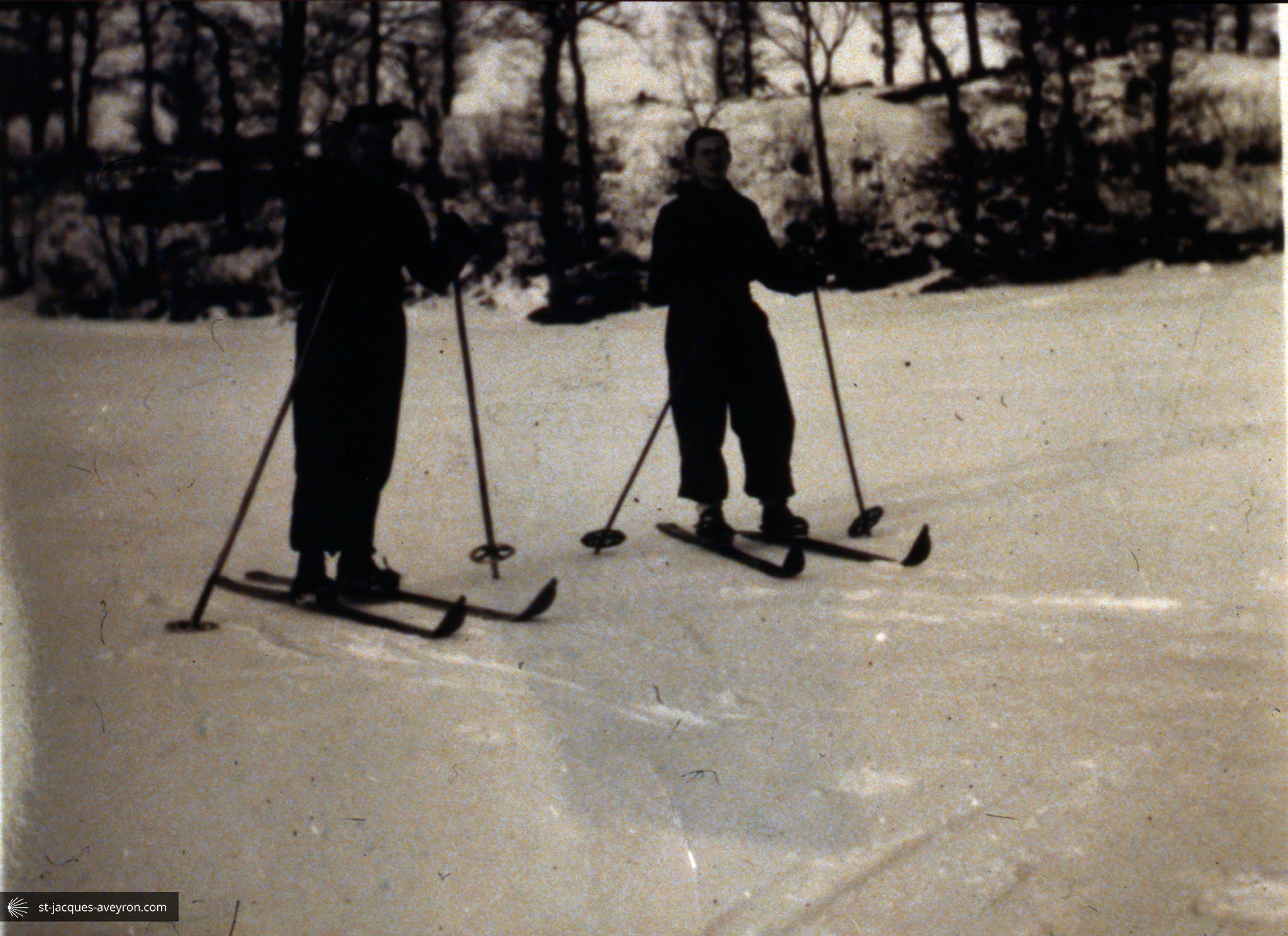
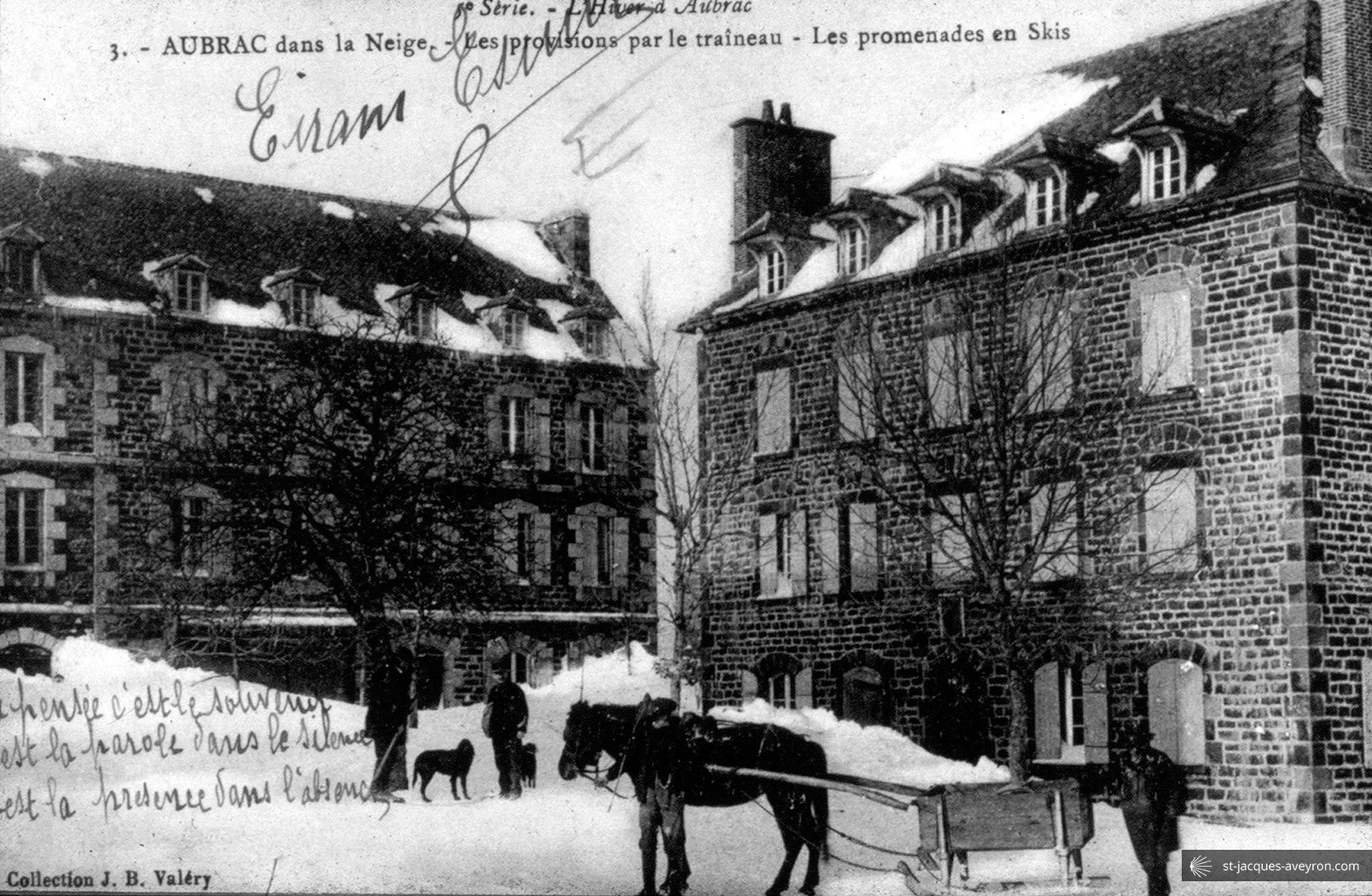
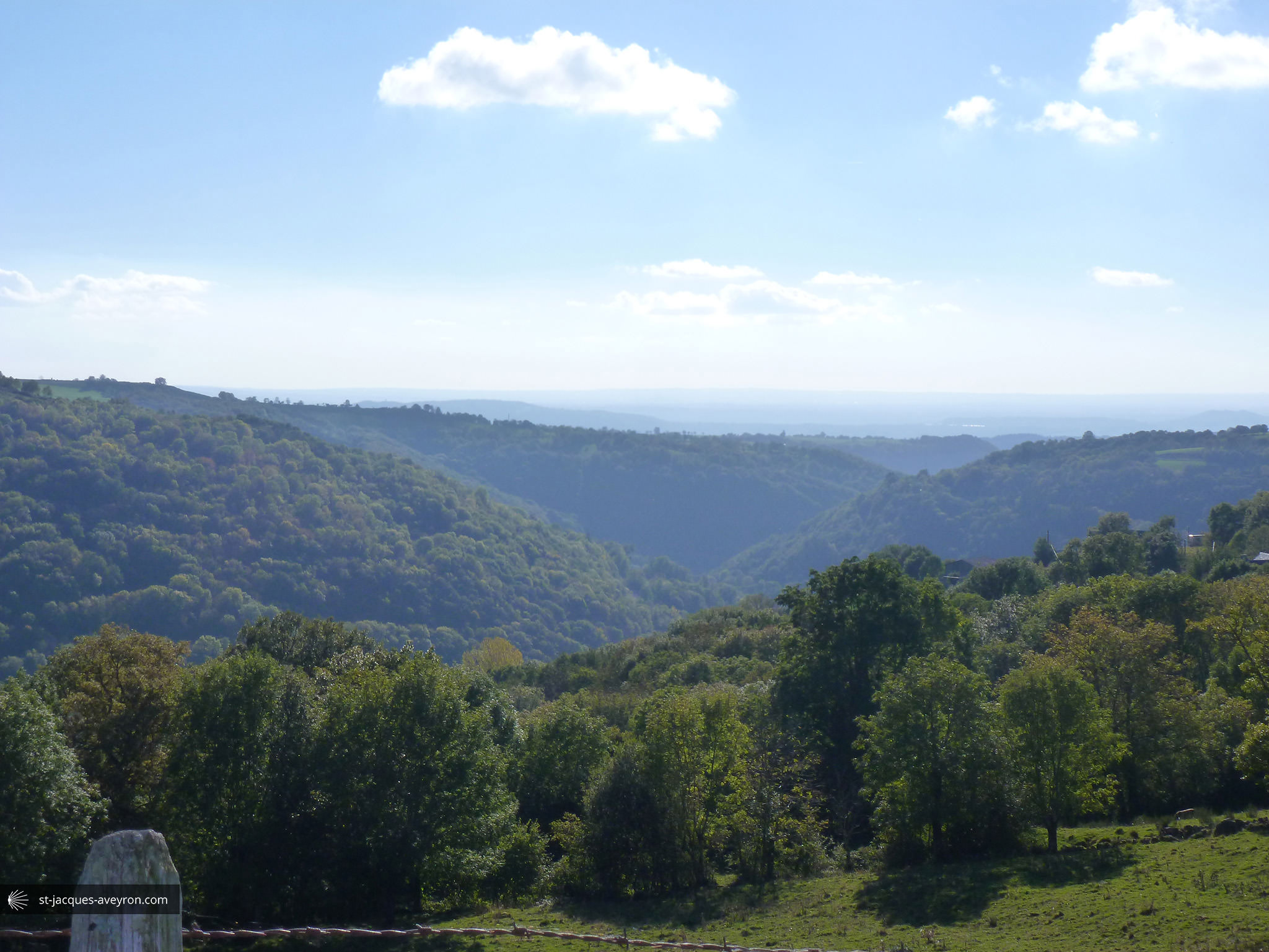
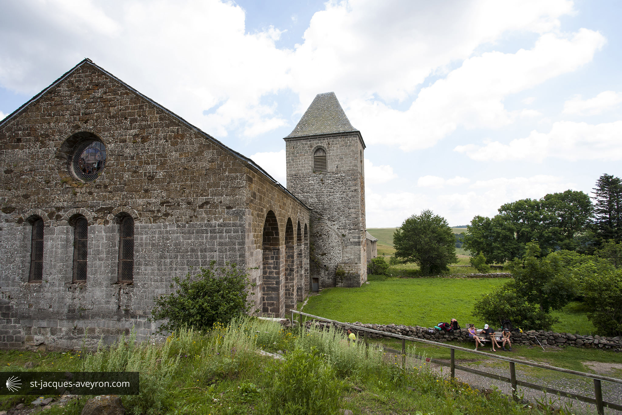
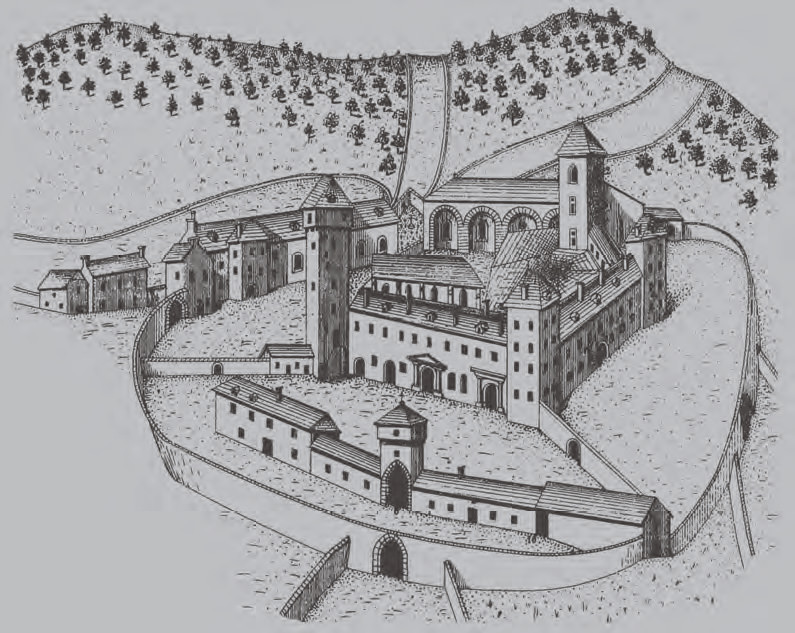
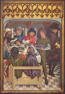
10 inhabitants in winter, an altitude of 1320 metres. Aubrac is the highest up of the villages on the plateau to which it gave its name. It came into existence at the beginning of the 12C, on the Route to Santiago de Compostela. The Domerie d'Aubrac flourished up until the end of the Middle Ages, welcoming thousands of pilgrims and working vast stretches of farmland. Lying on the borders of three administrative regions, Aubrac would continue to occupy a strategic position for its livestock fairs and when transhumance took place. The large buildings that surround the only square date back to the early 20C. They were built to accommodate the people who came to breathe the fresh air and enjoy the health-giving effects of a whey cure. Today, the village has strengthened its position as a tourist attraction basing it on heritage and the environment.

Aubrac-Laguiole Tourist Office
Place de la Mairie - F - 12210 Laguiole
Tel. +33 (0)5 65 44 35 94
Email : tourisme@aubrac-laguiole.com
Web : www.aubrac-laguiole.com
Saint Chély d'Aubrac Office
Rue de la Tour - F - 12470 Saint-Chély-d'Aubrac
Tel. +33 (0)5 65 44 21 15
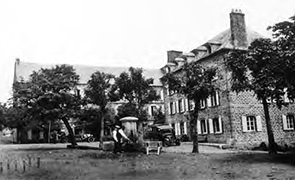
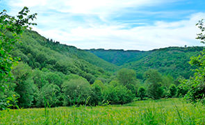
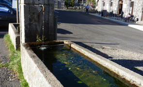
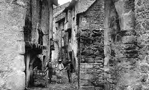
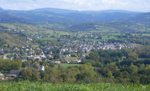
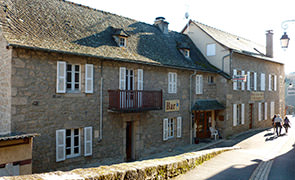
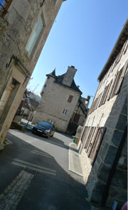
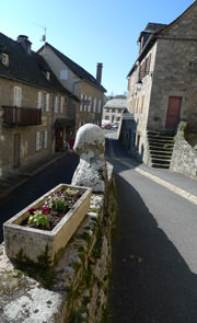
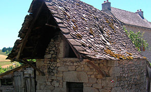
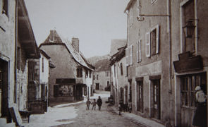
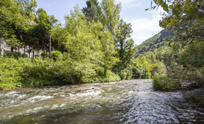
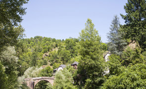
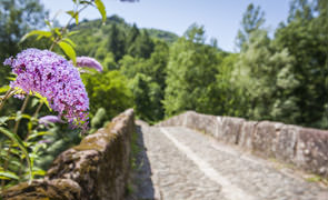
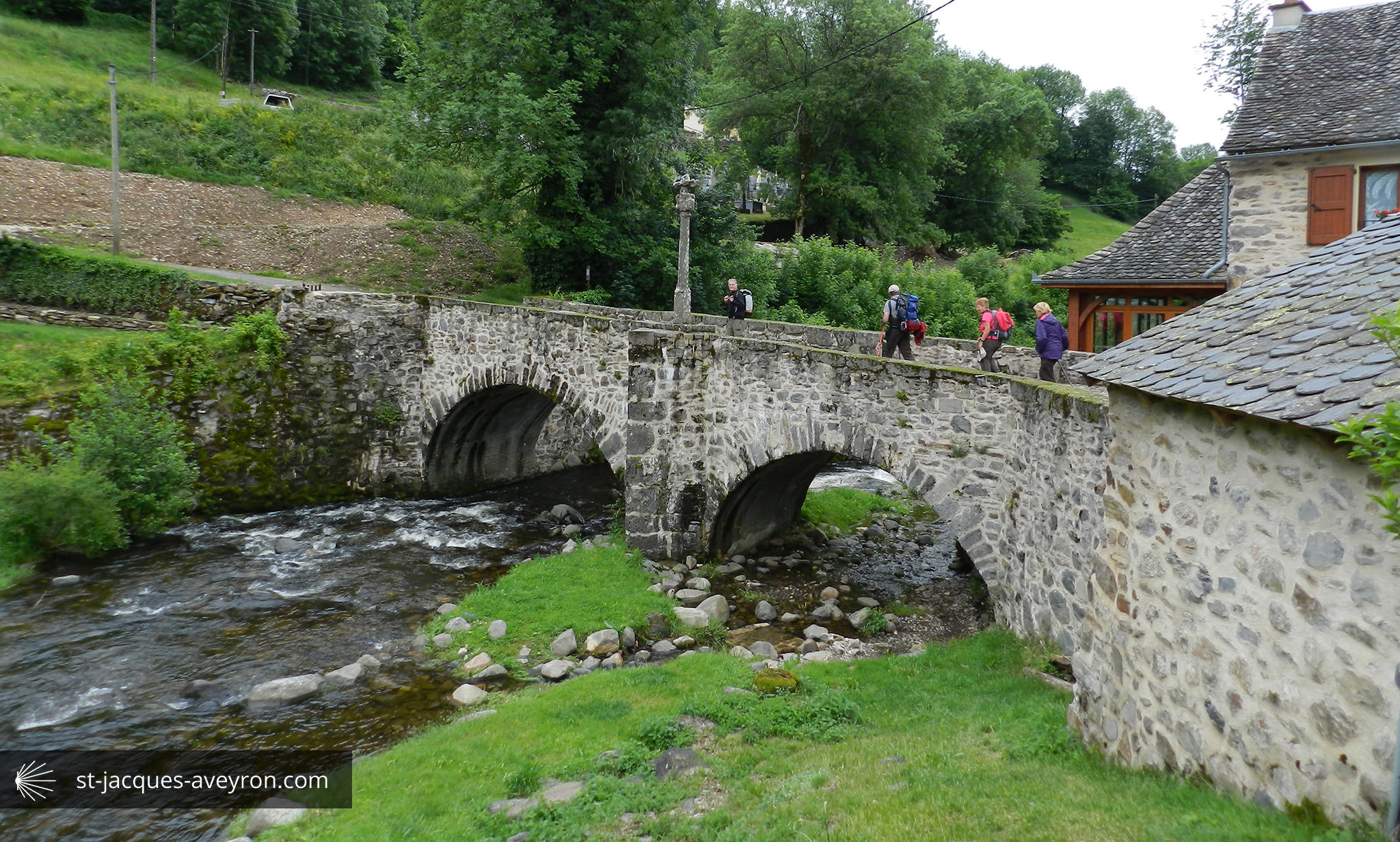
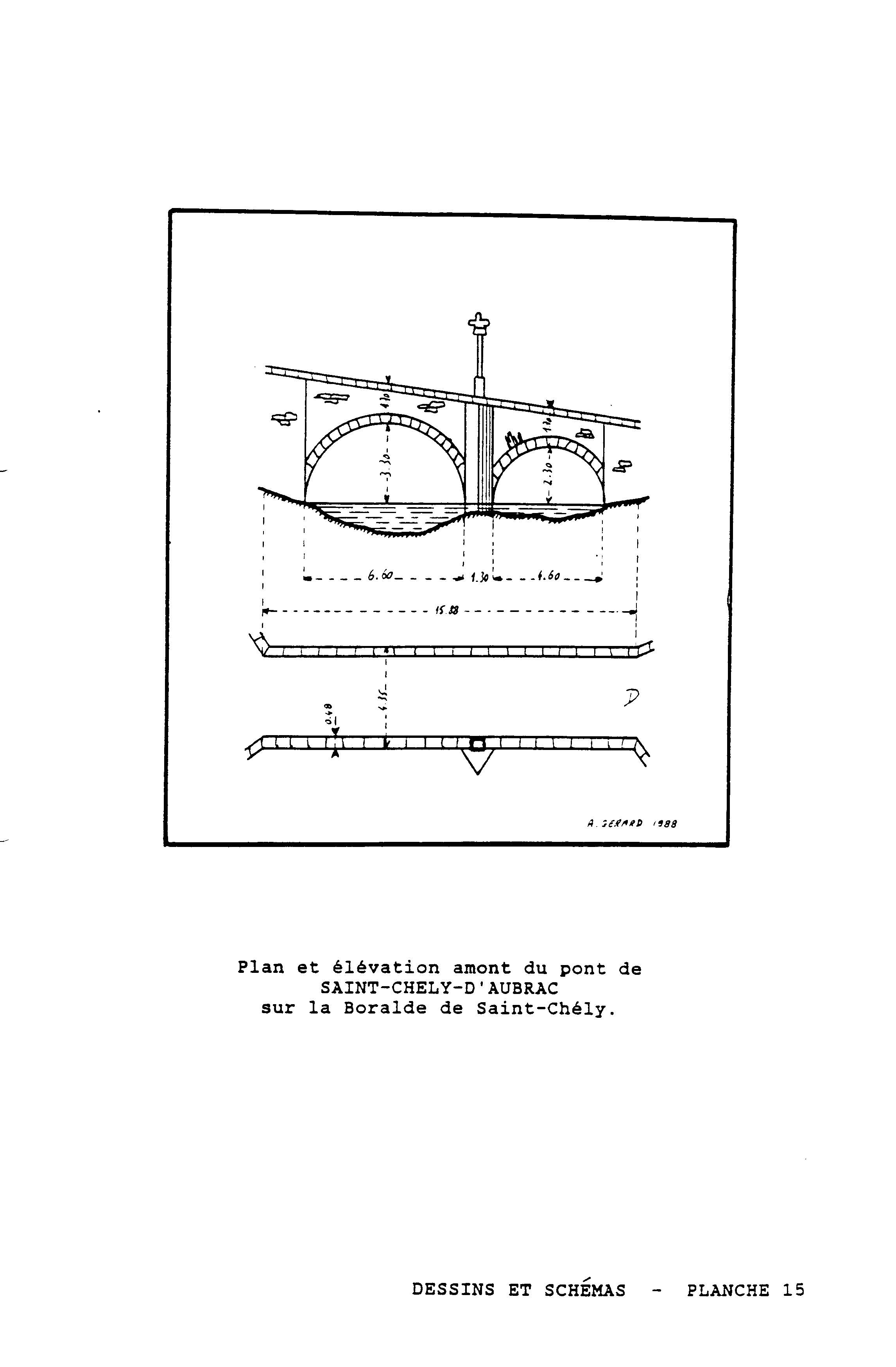
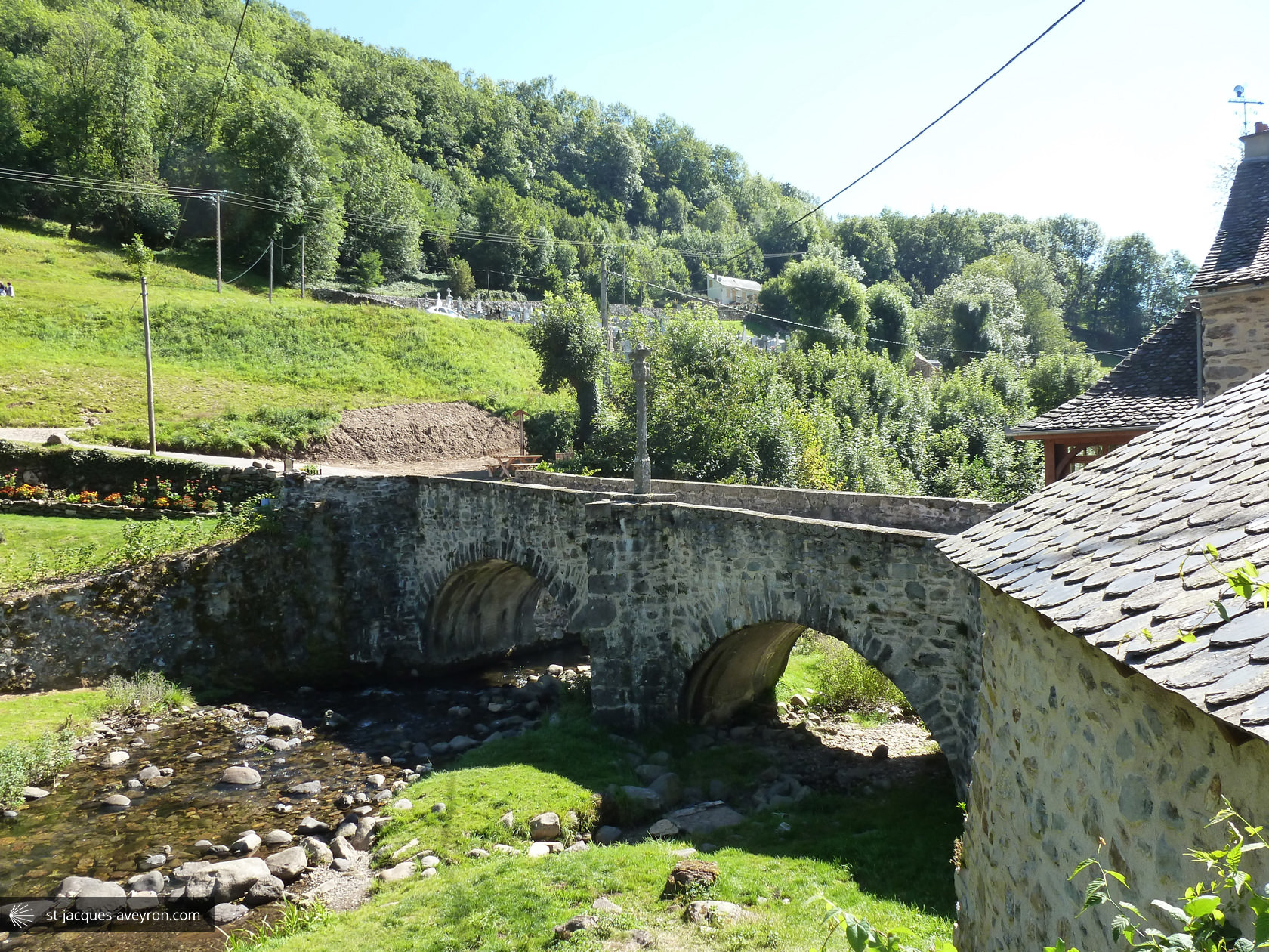
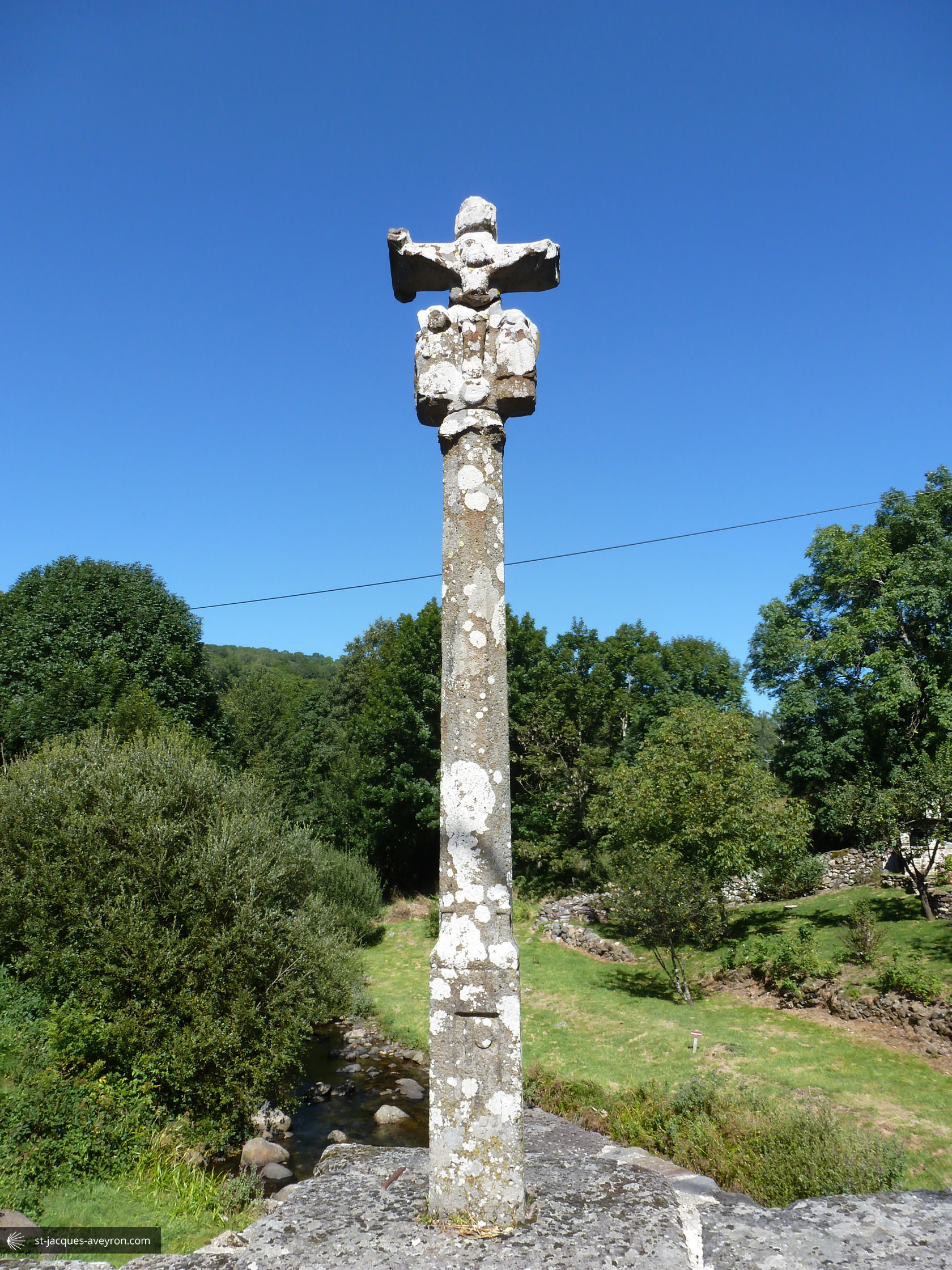
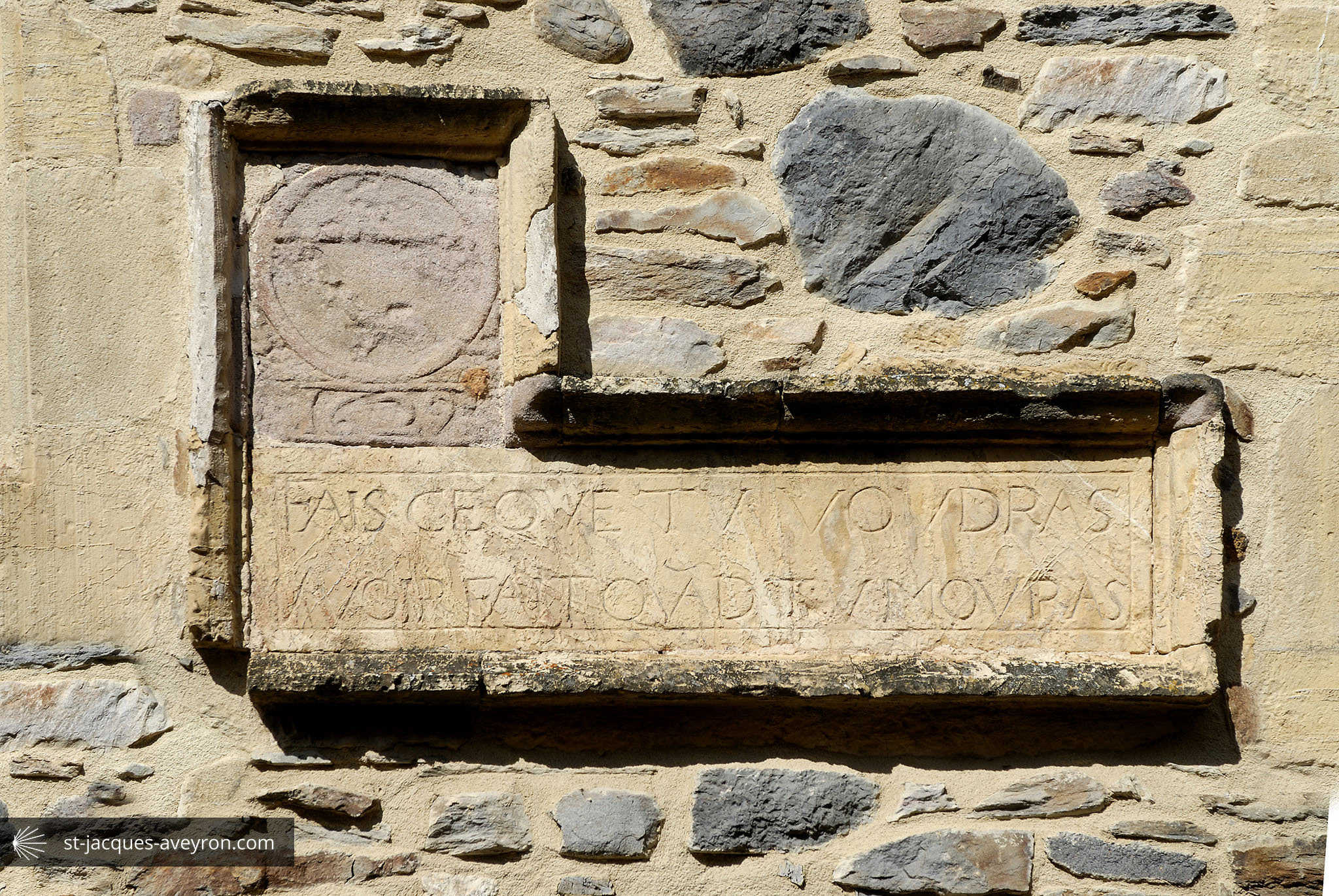
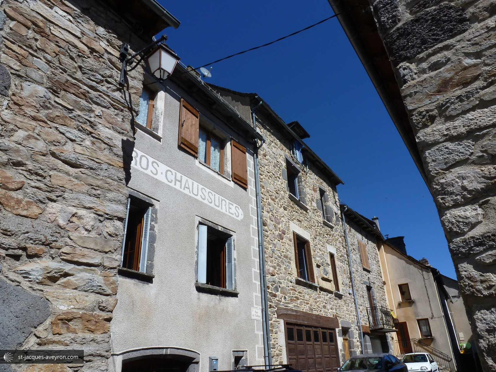
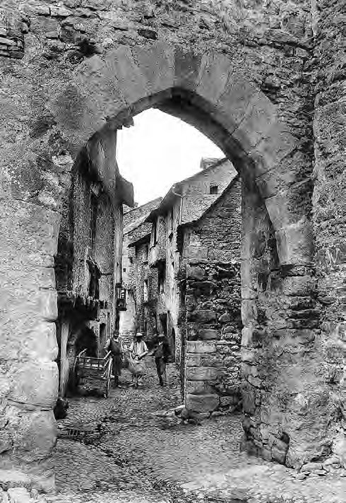
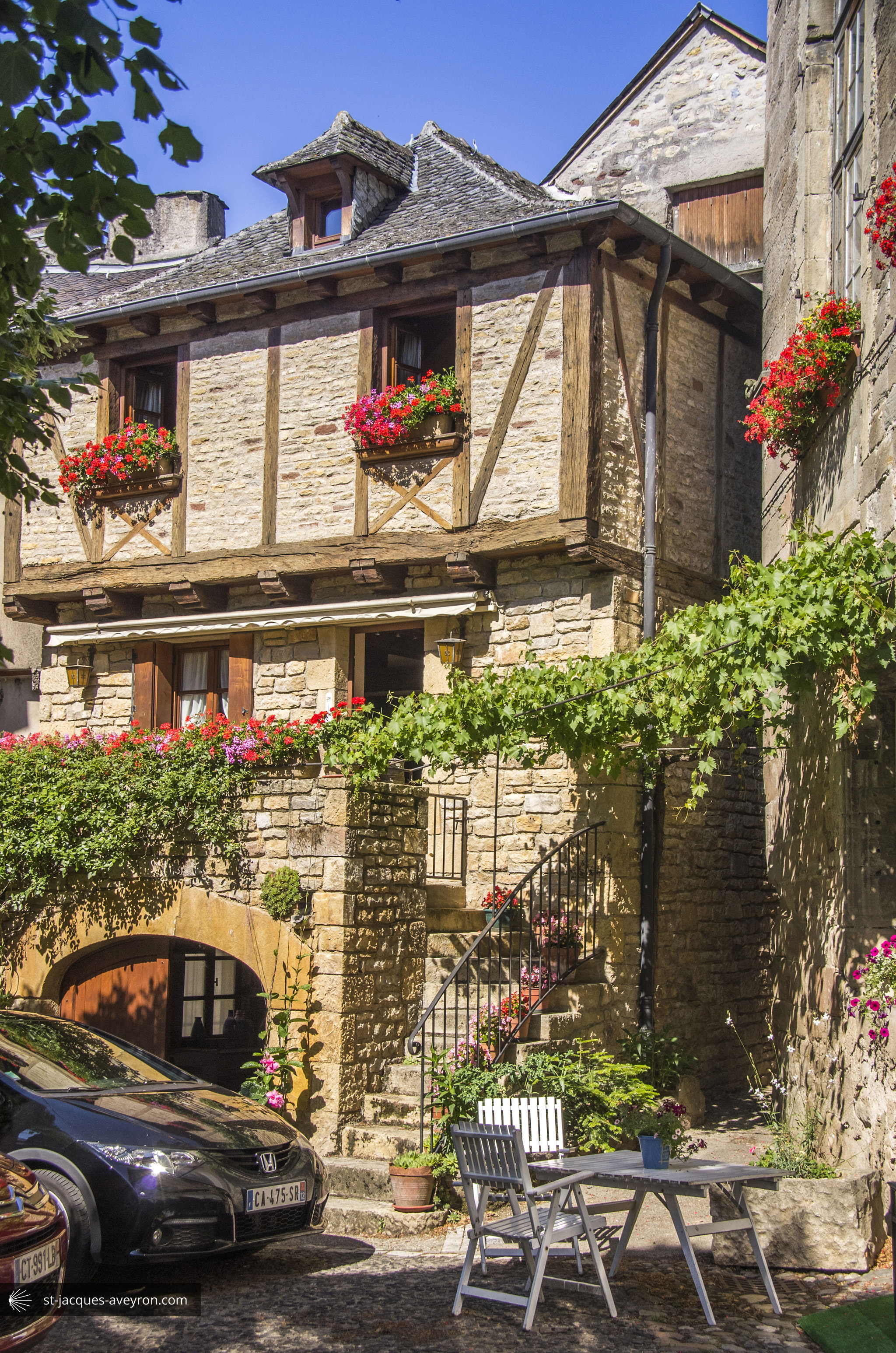
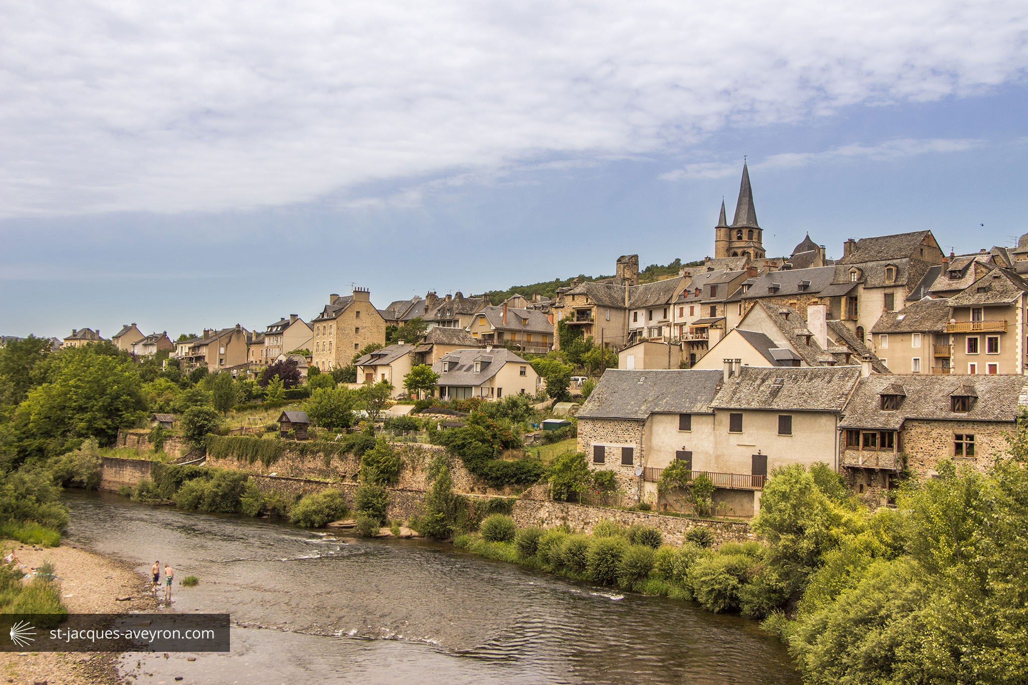
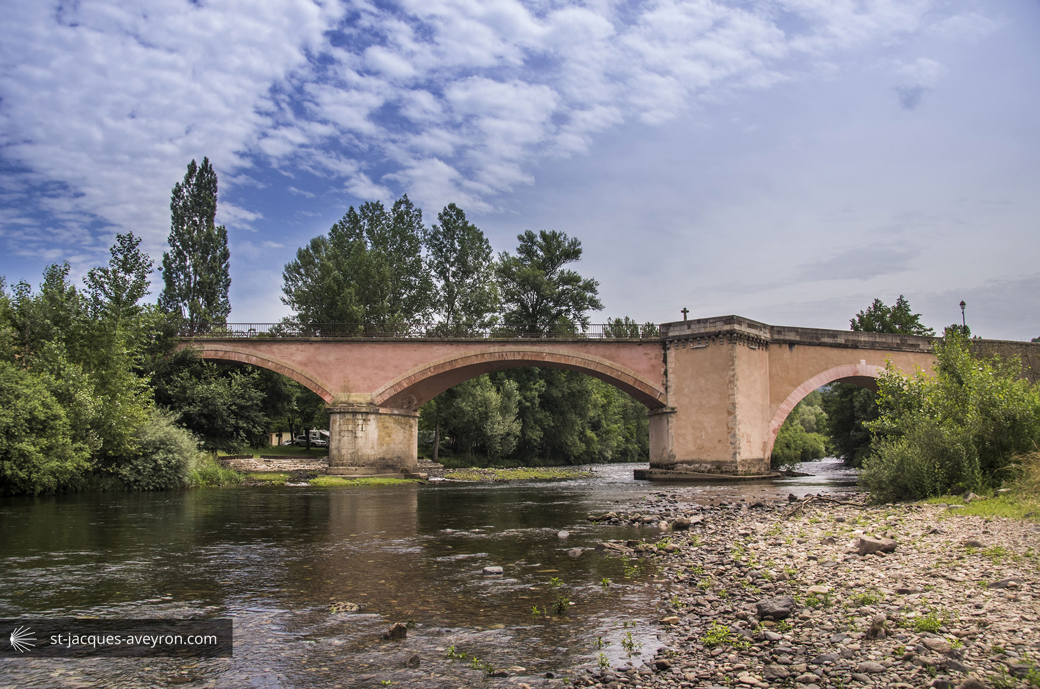
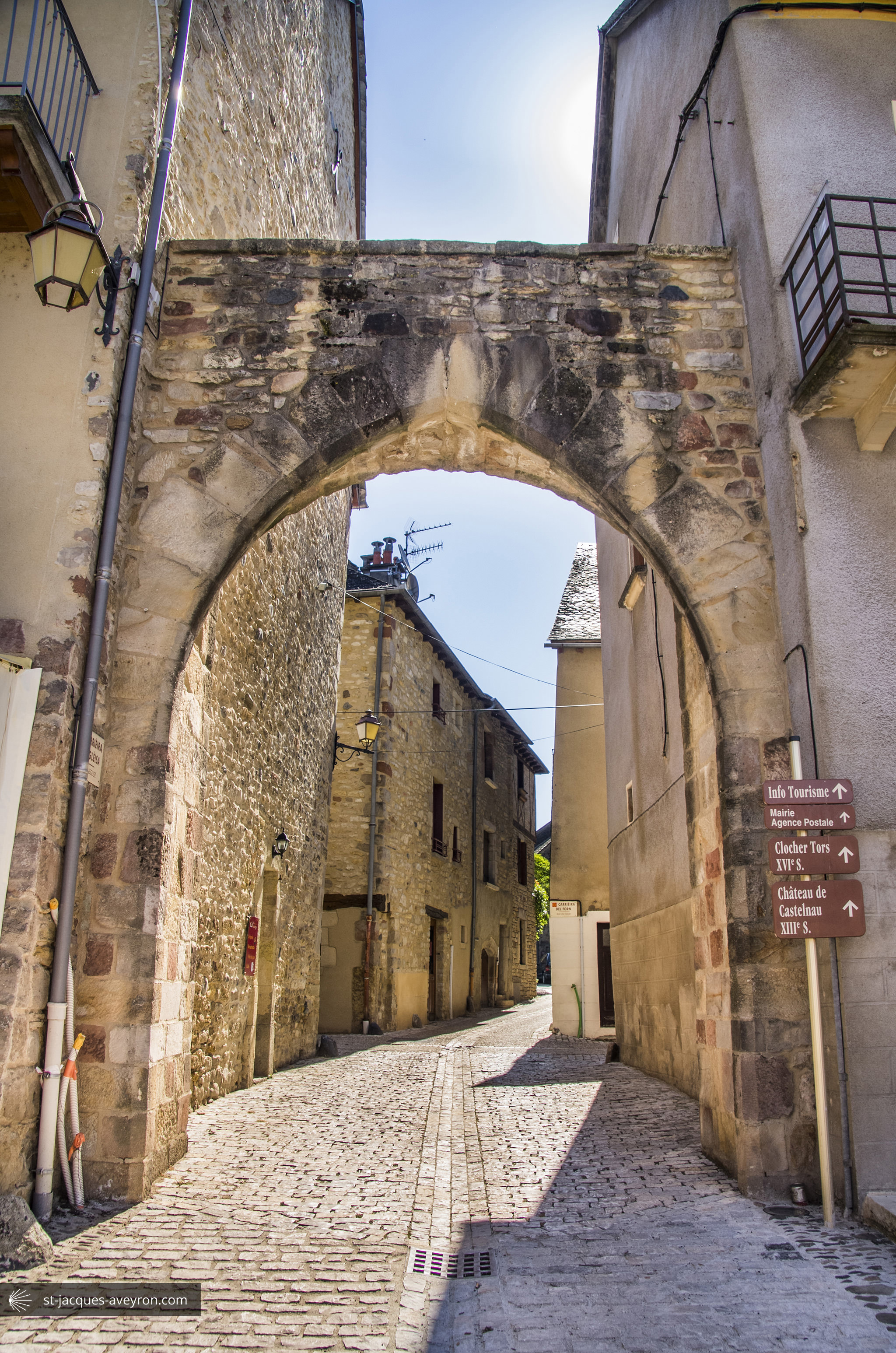
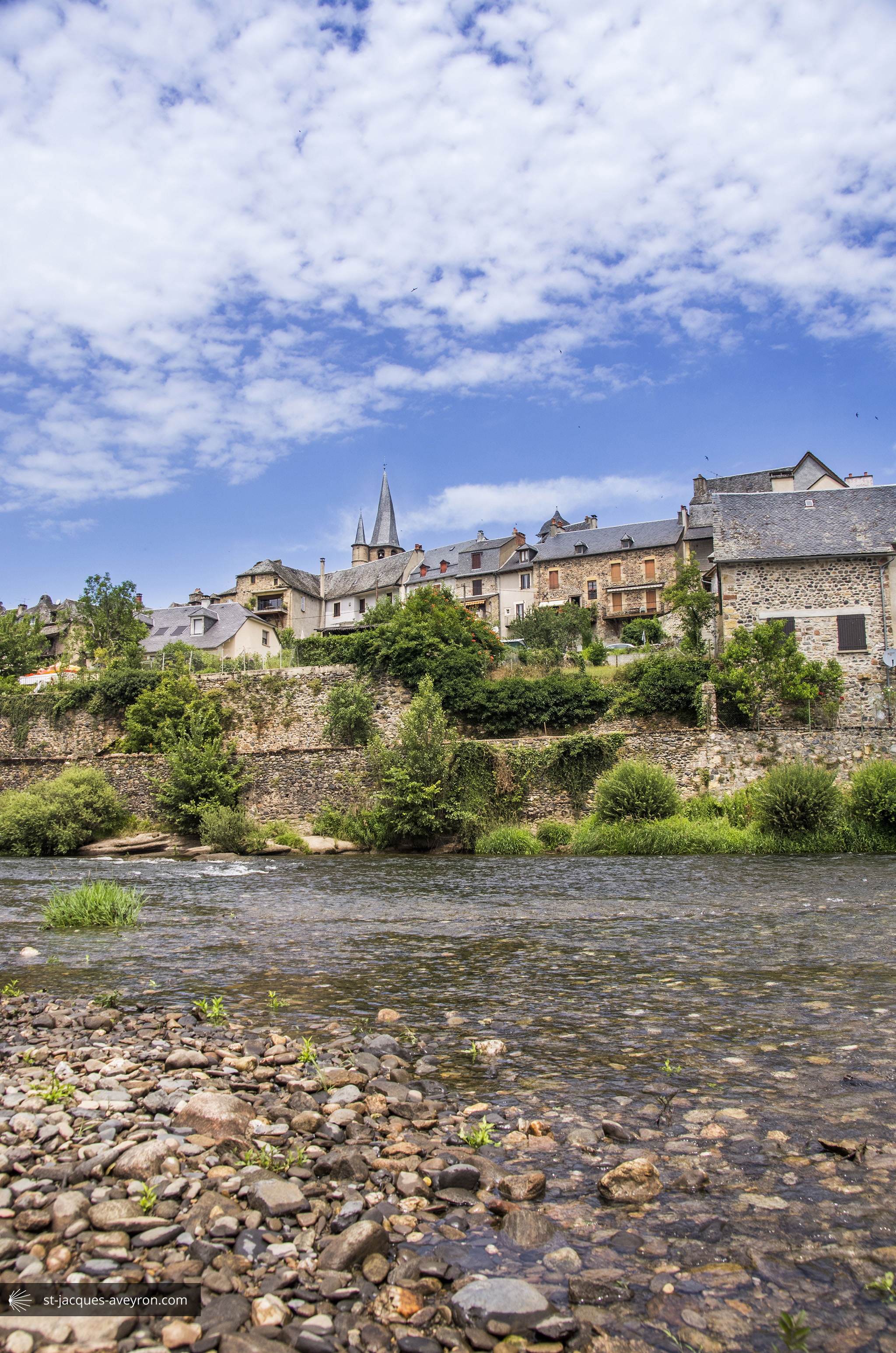
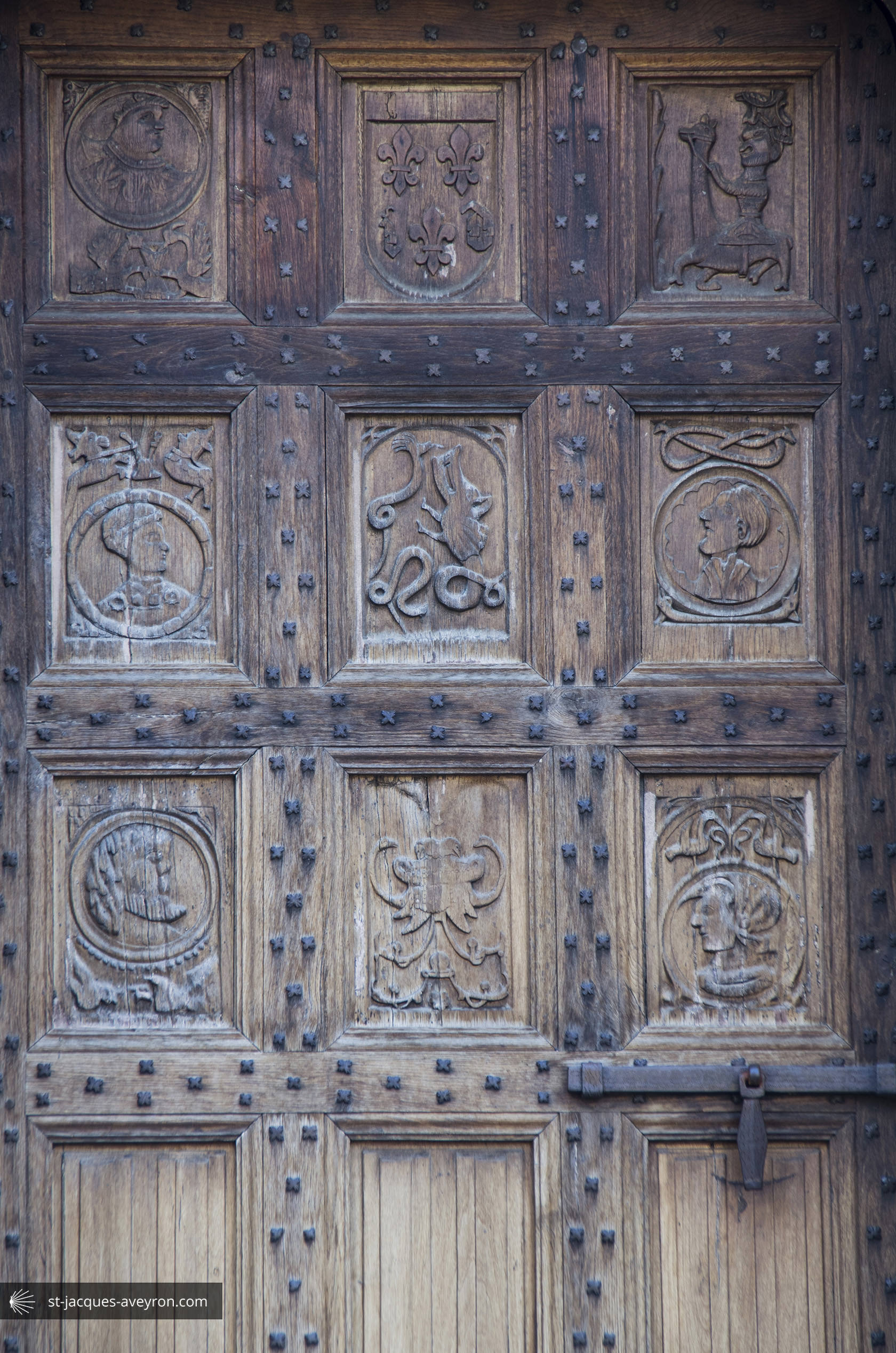
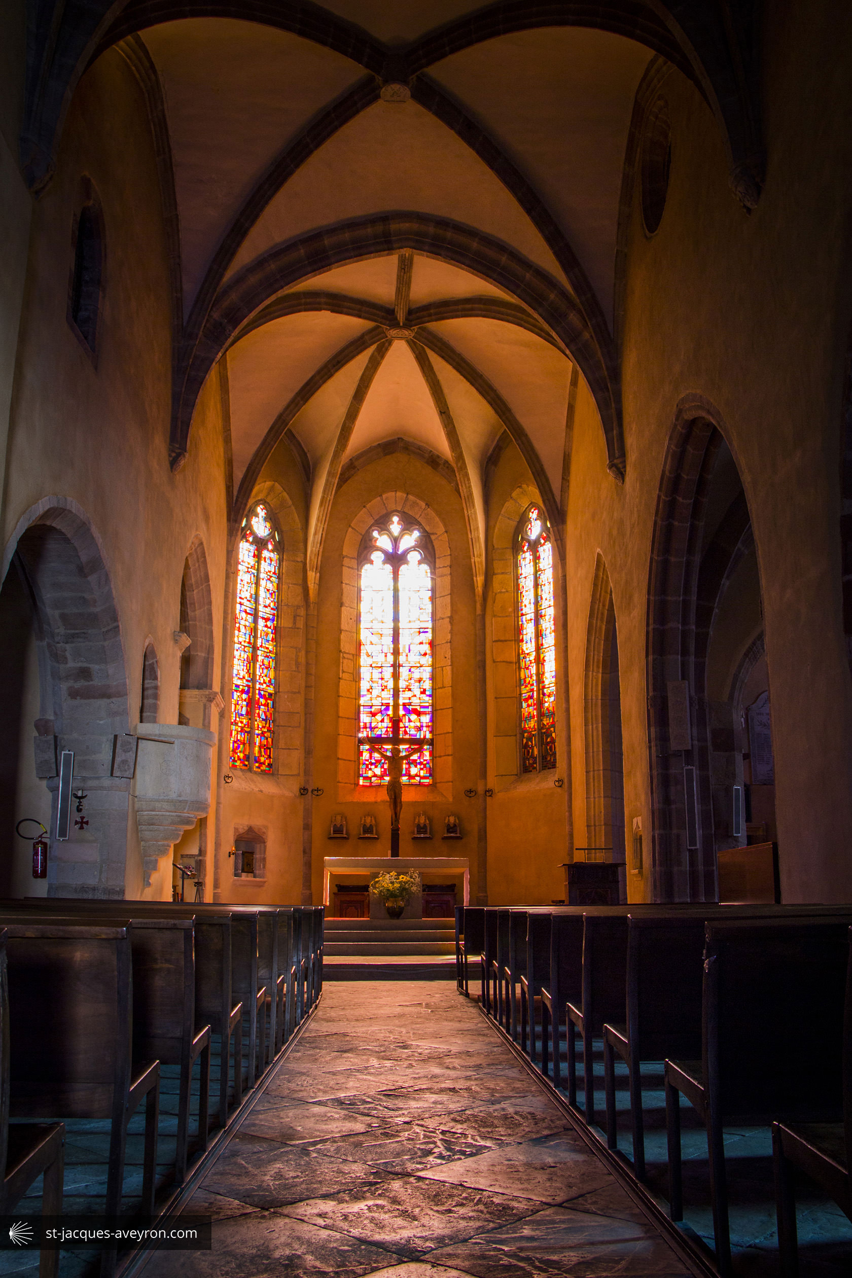
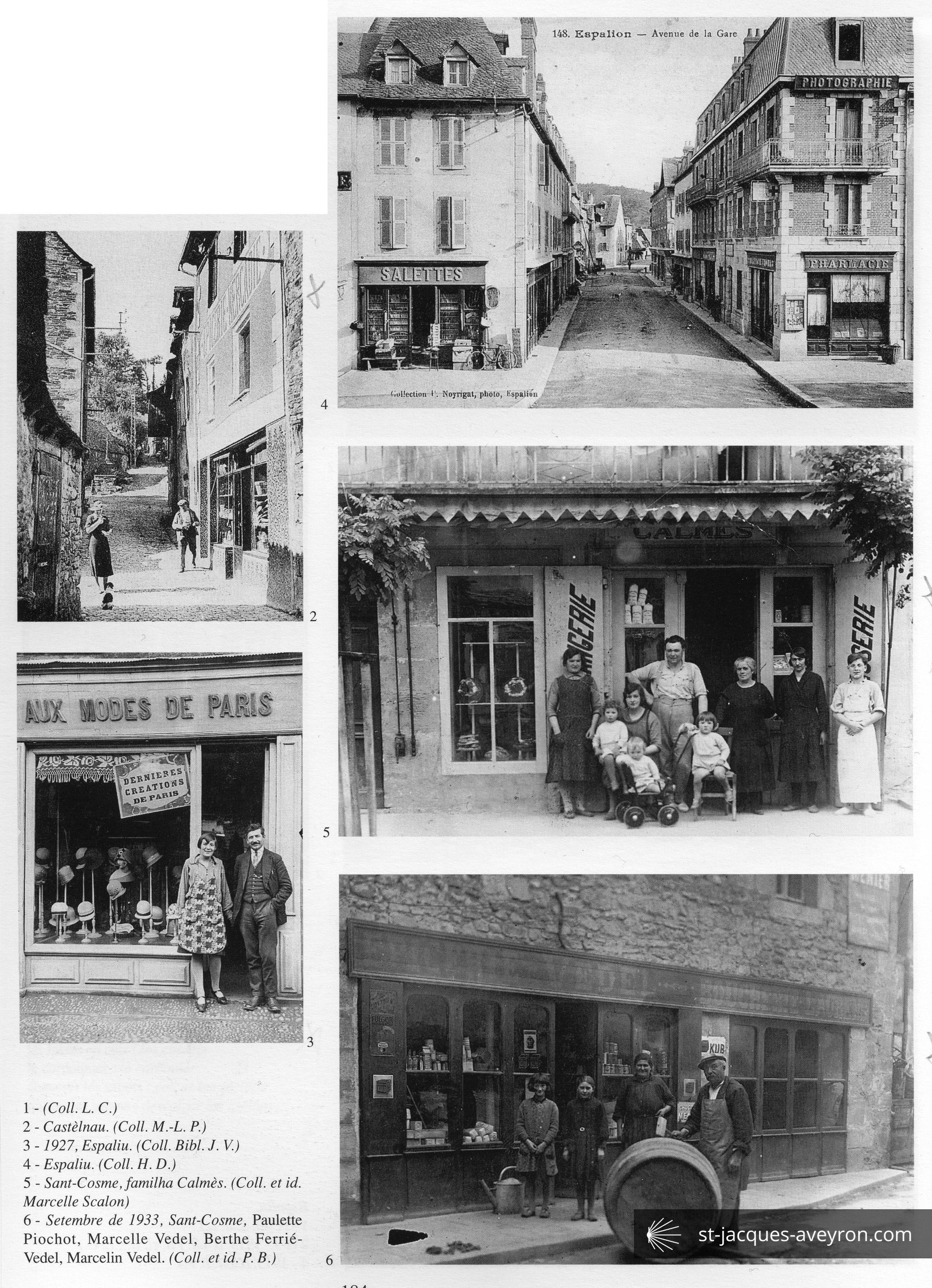
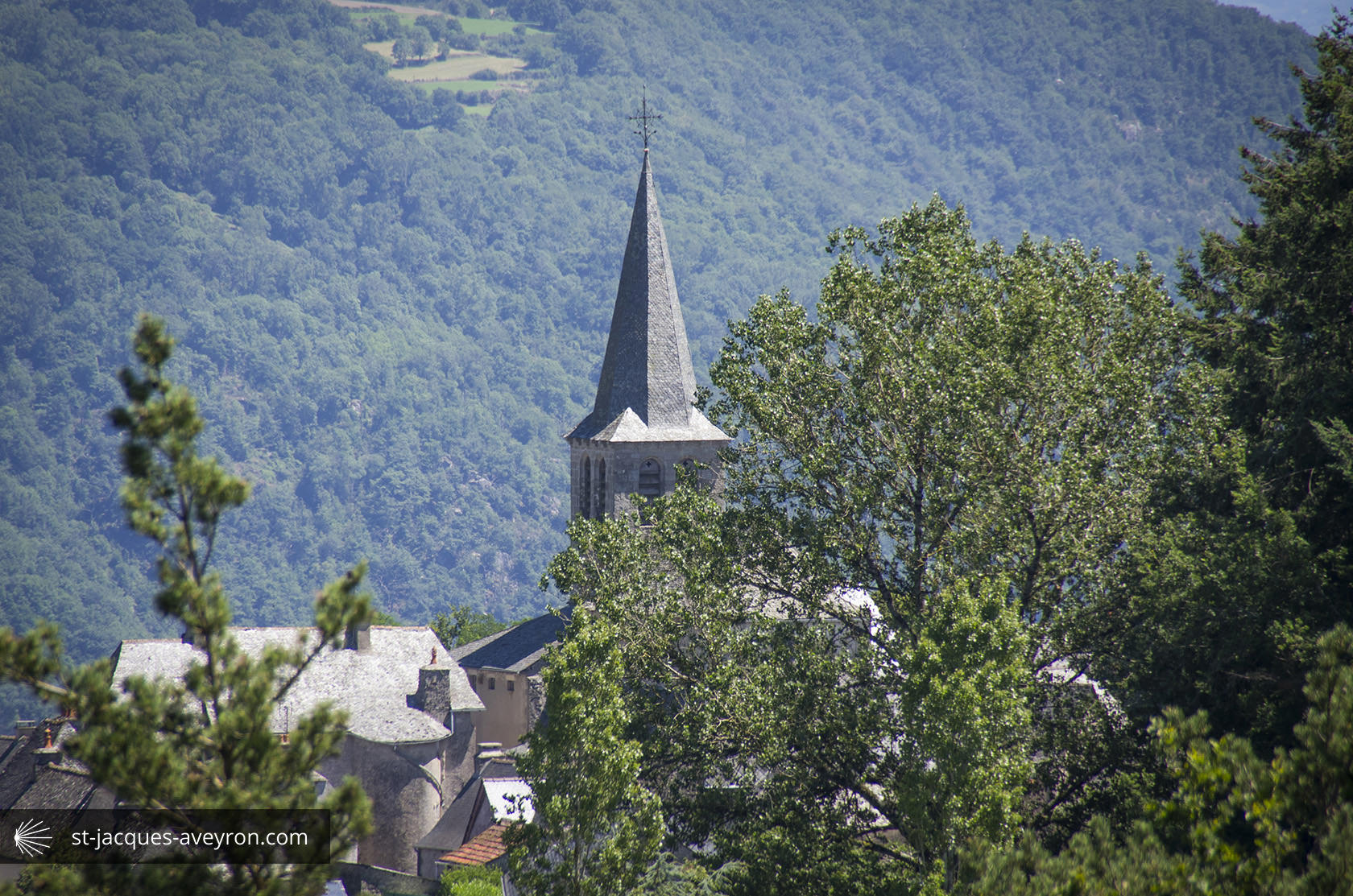
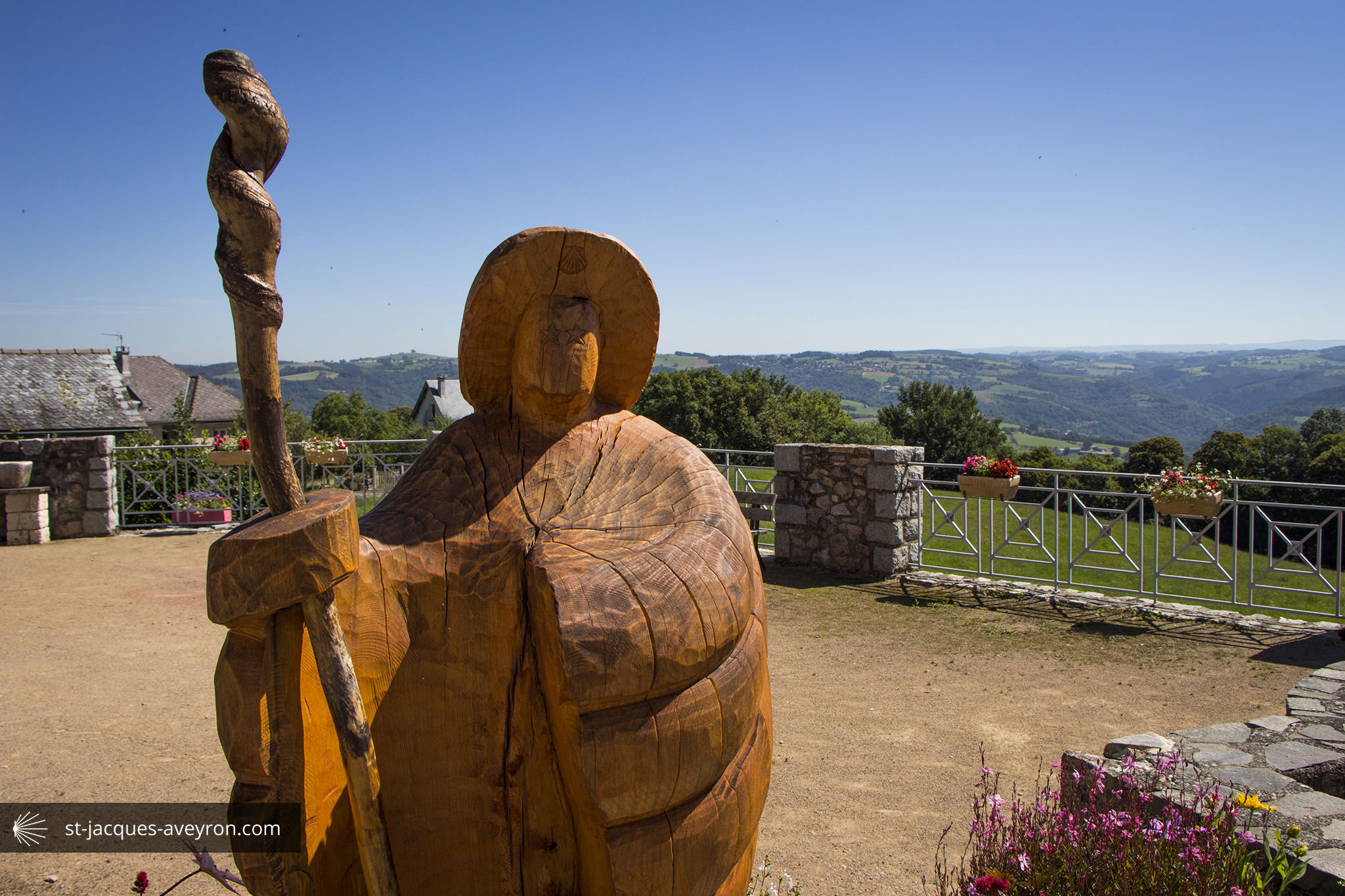
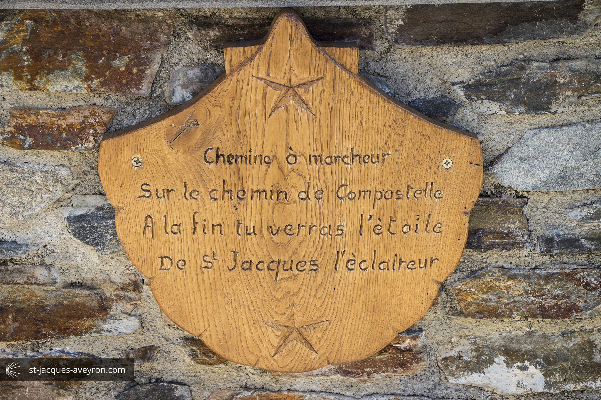
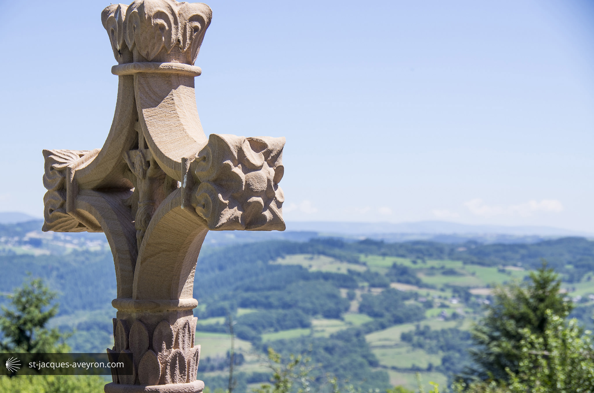
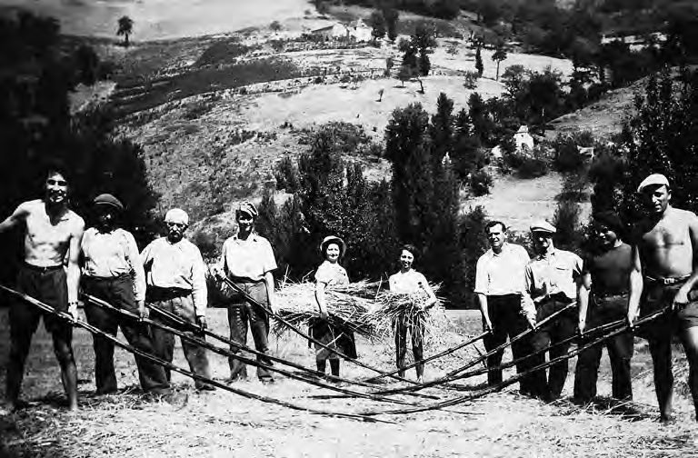
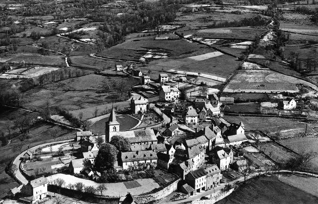
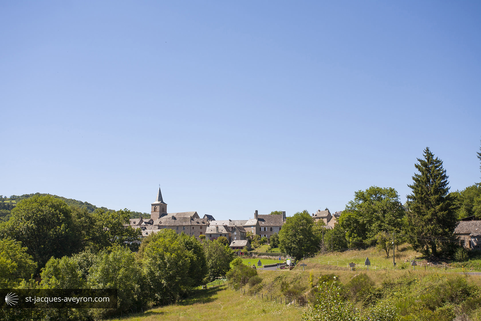
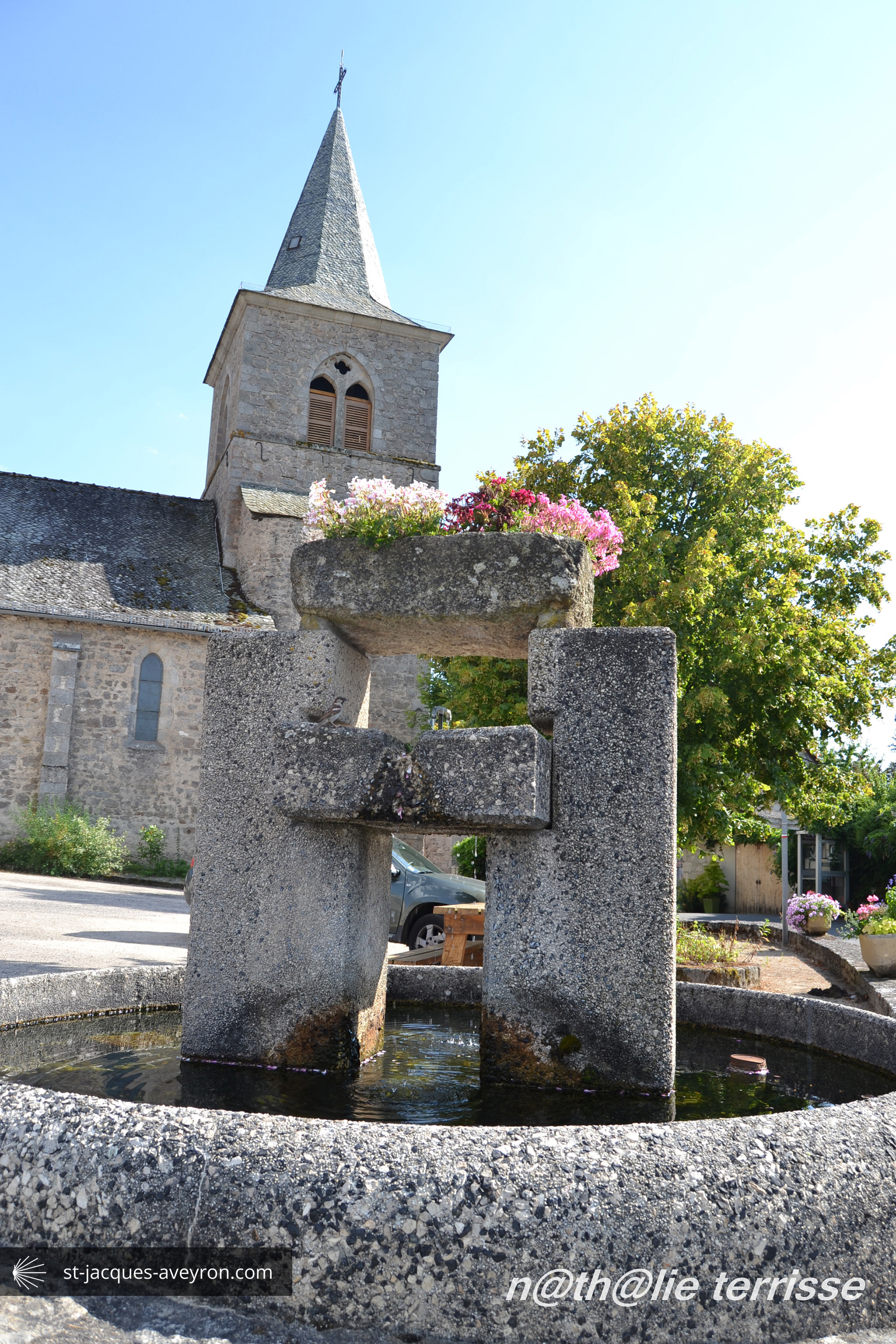
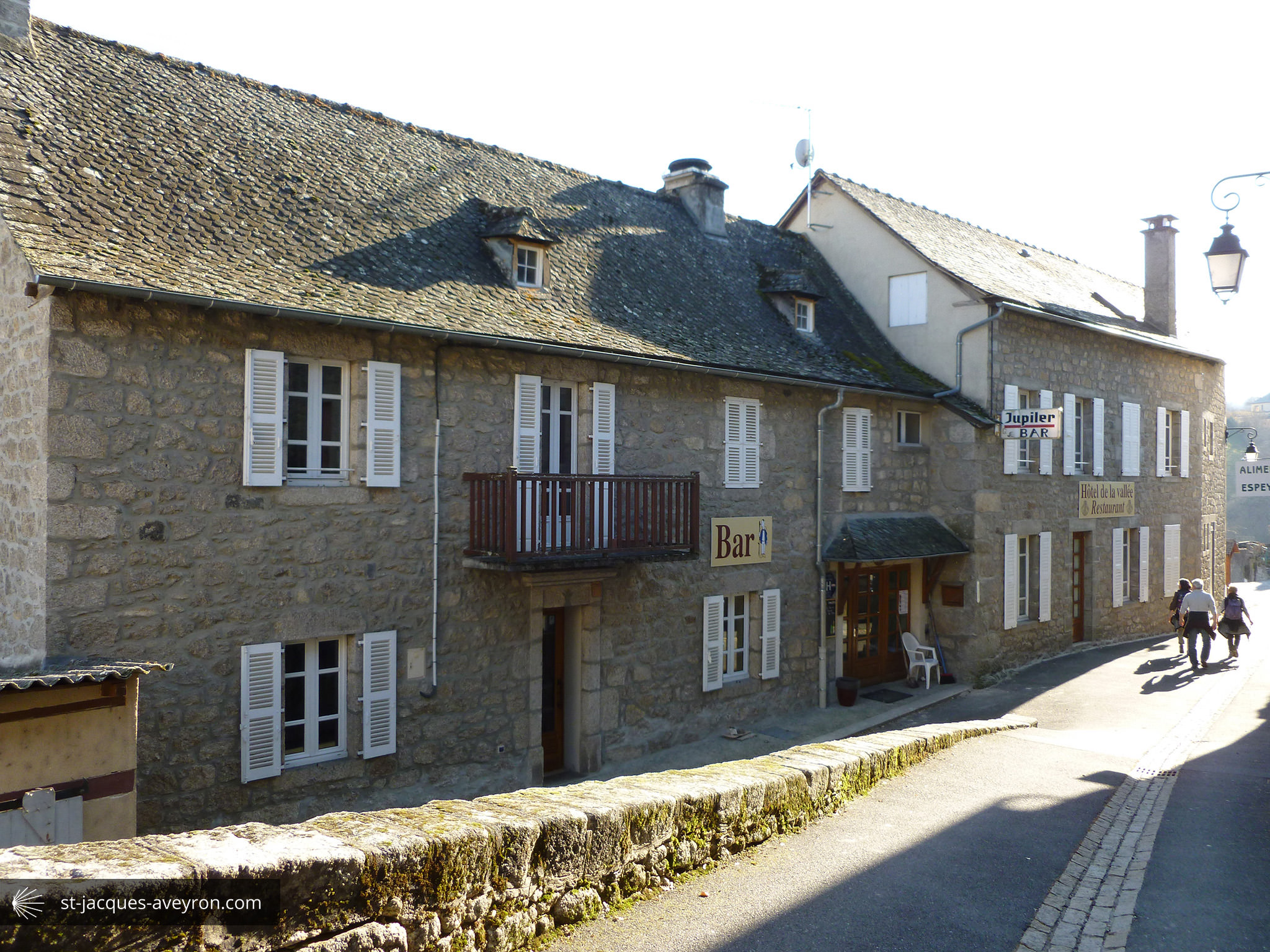
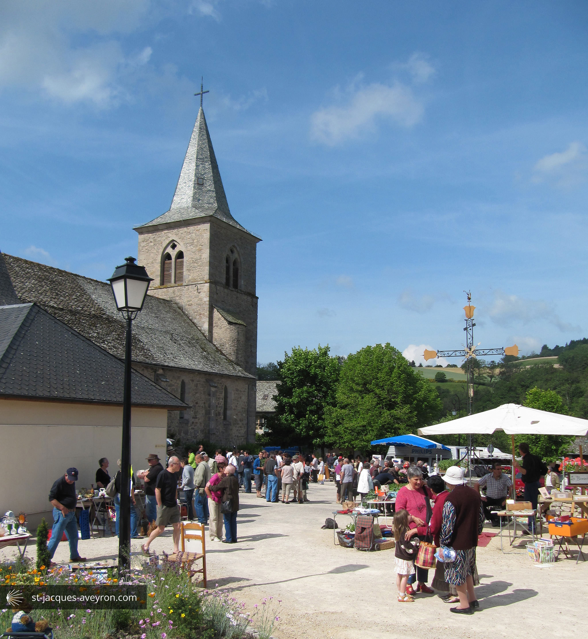
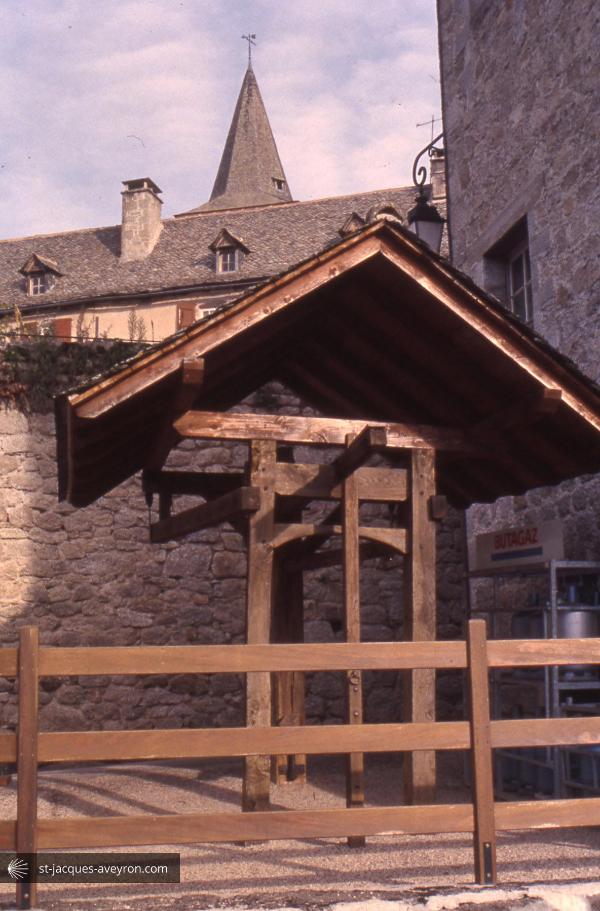
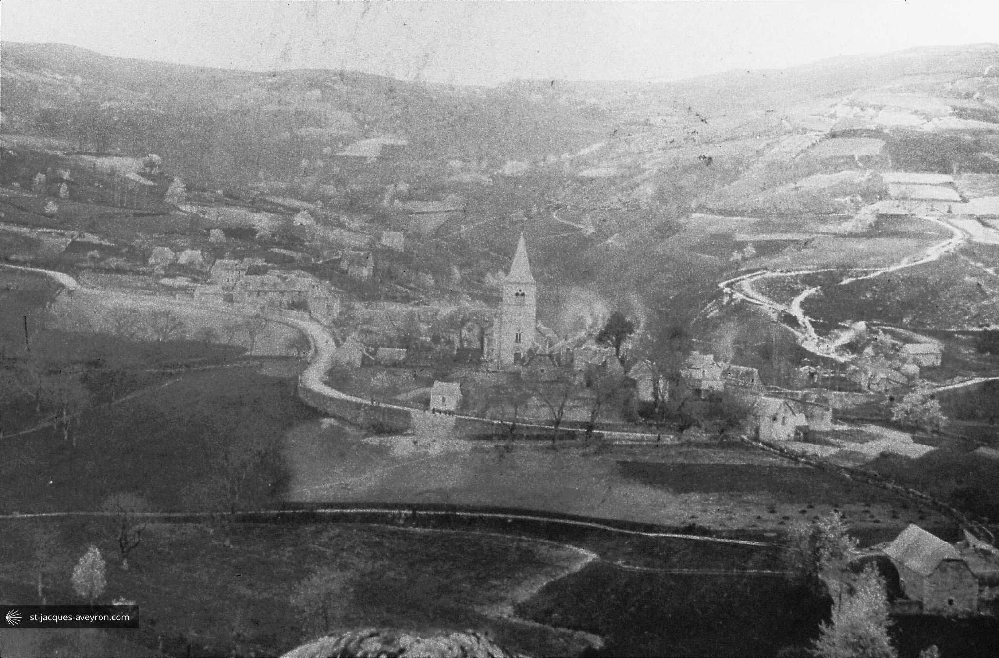
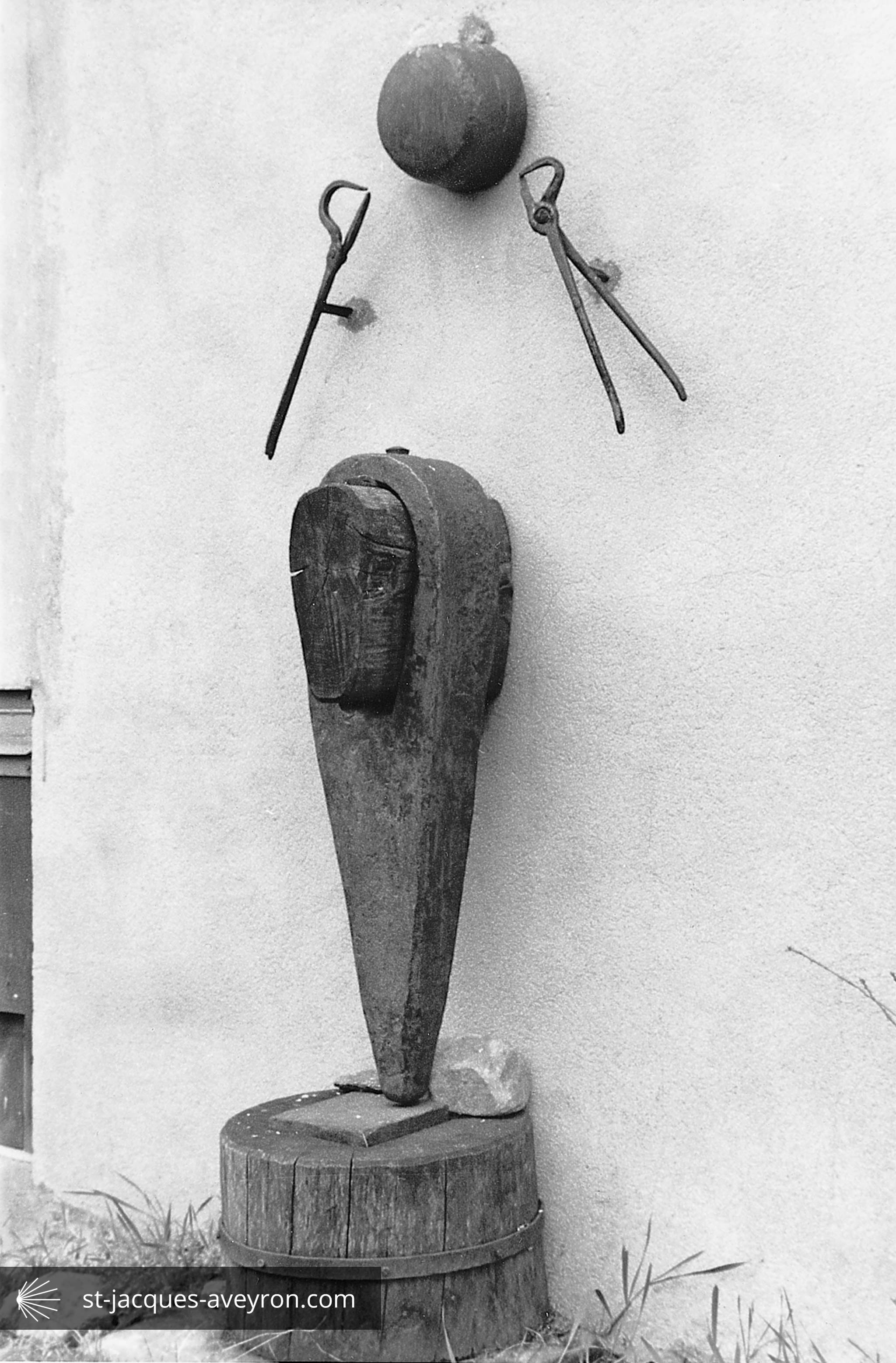
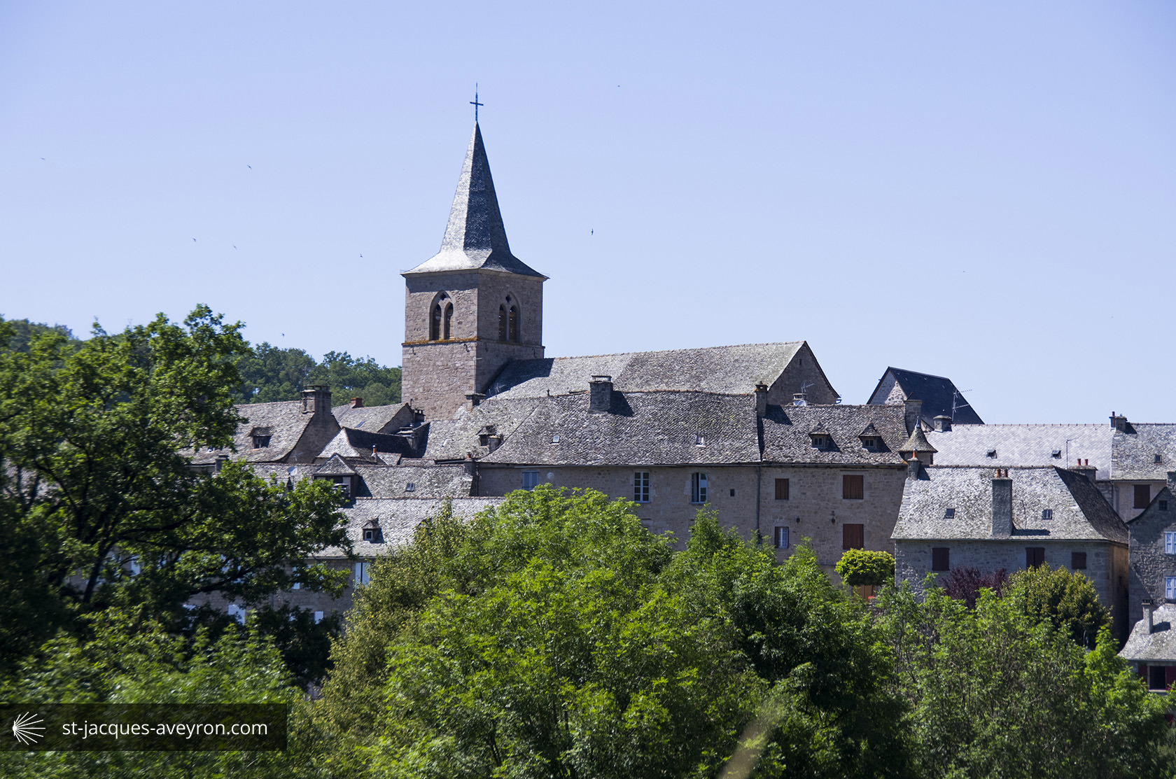
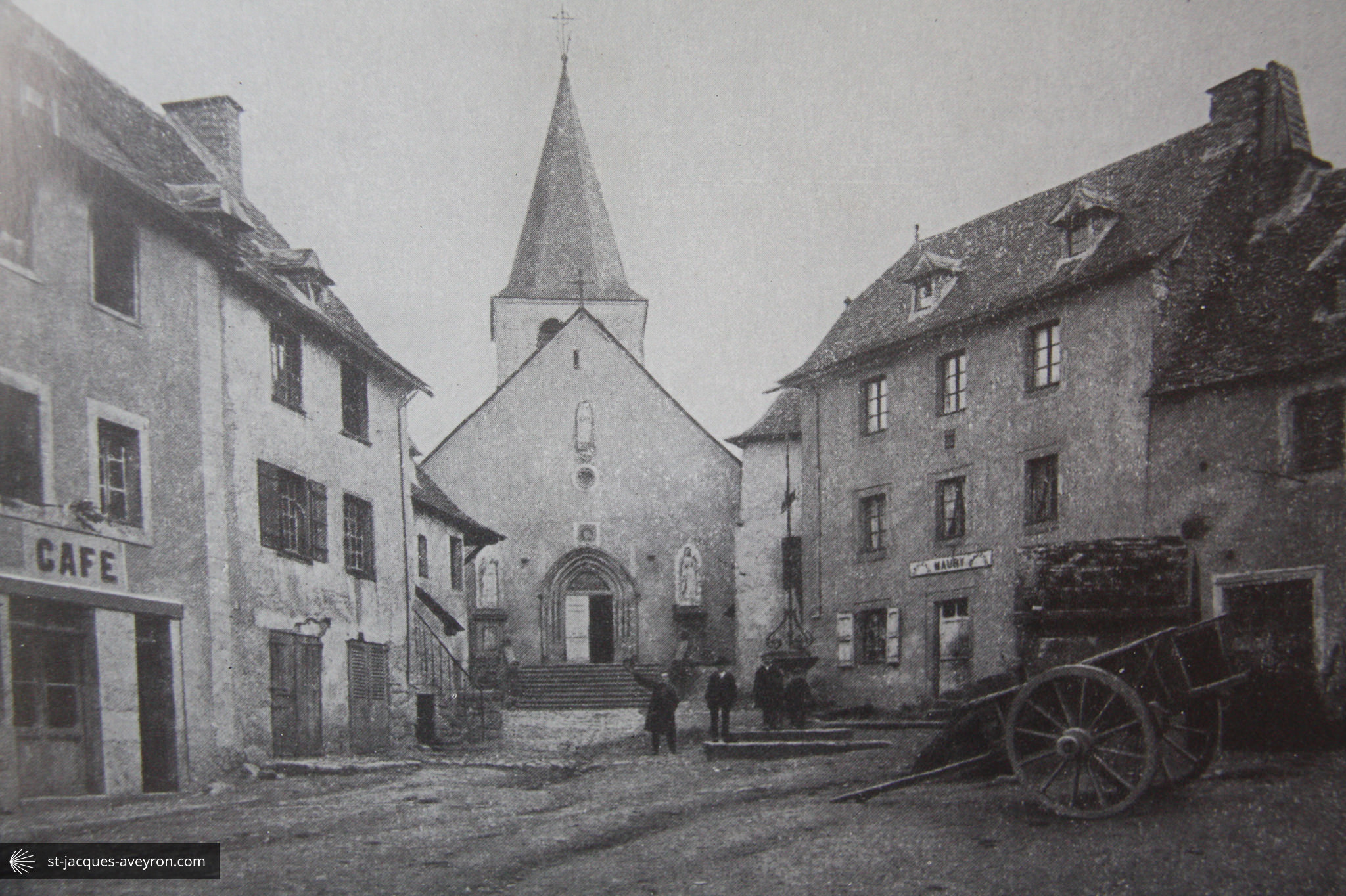
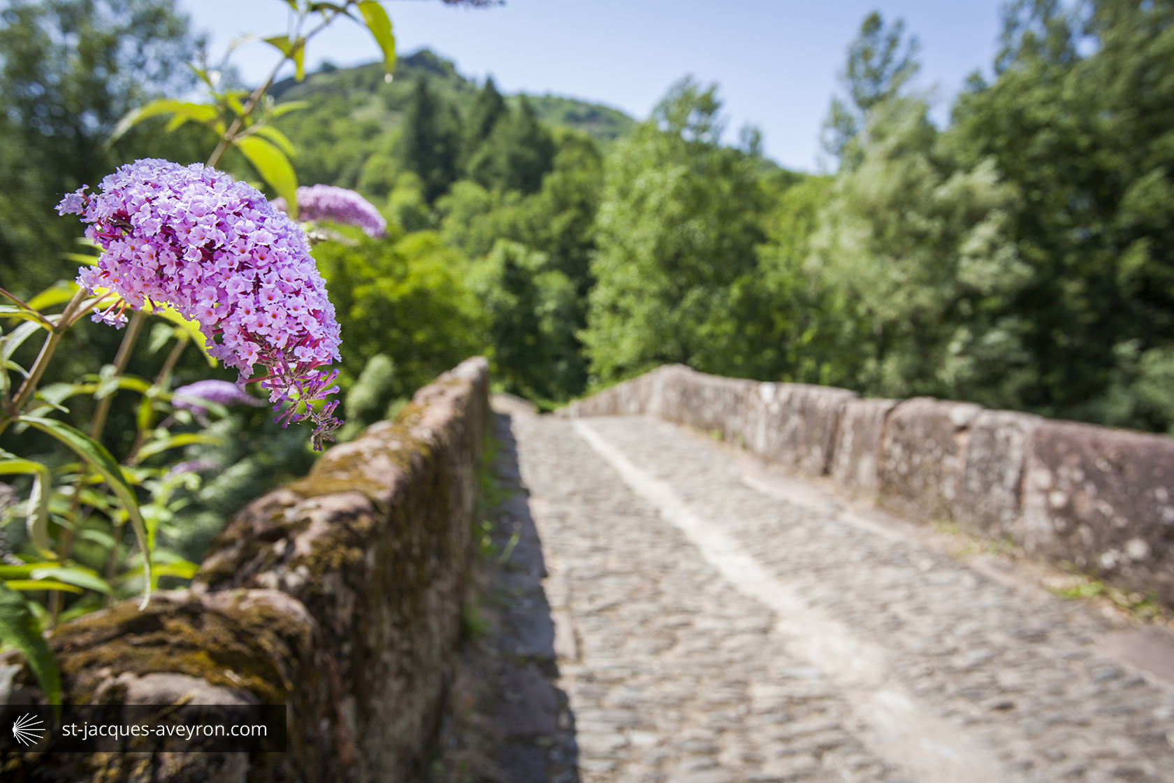
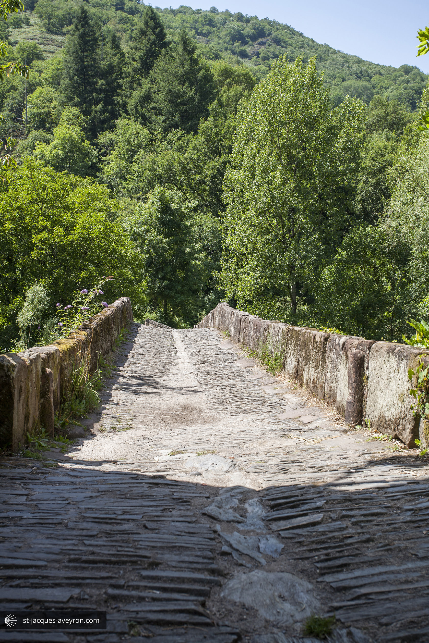
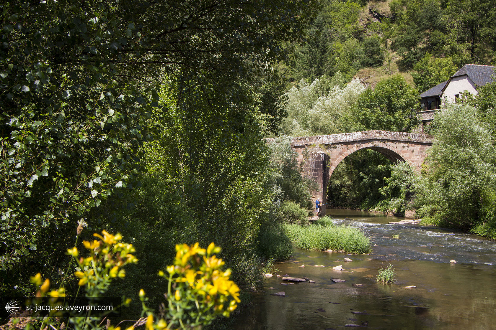
Saint-Chély-d'Aubrac
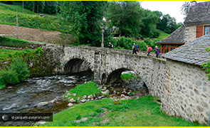
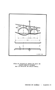
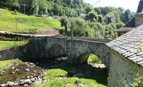

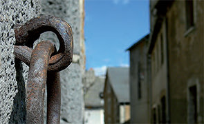
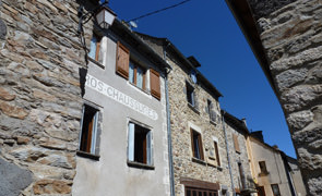
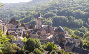
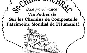

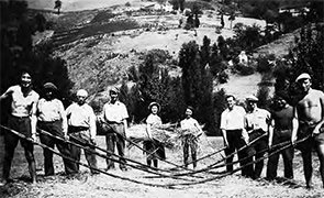
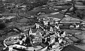
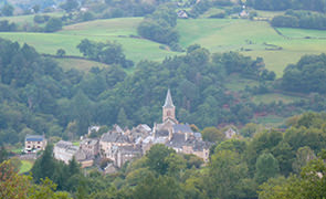
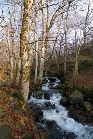
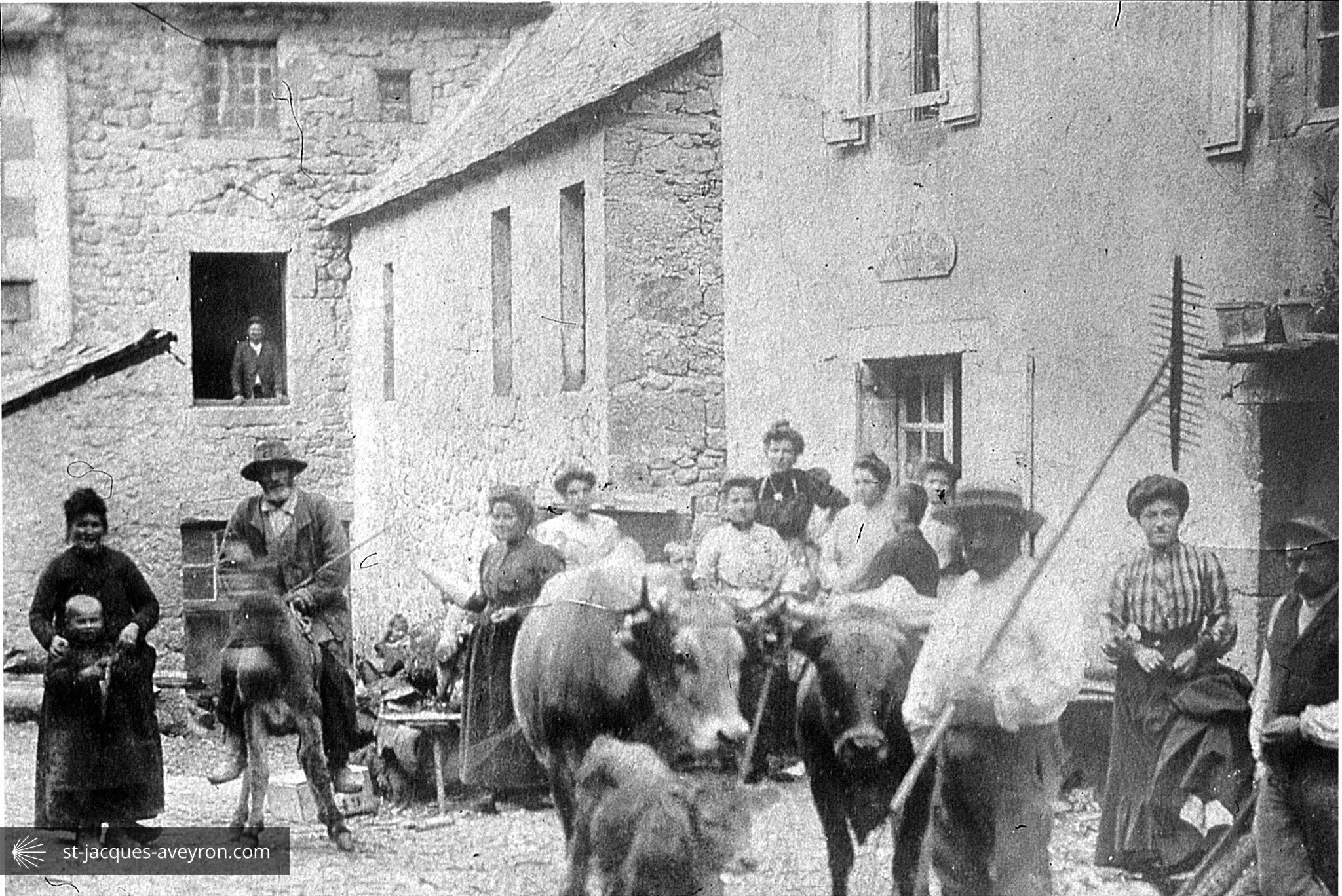
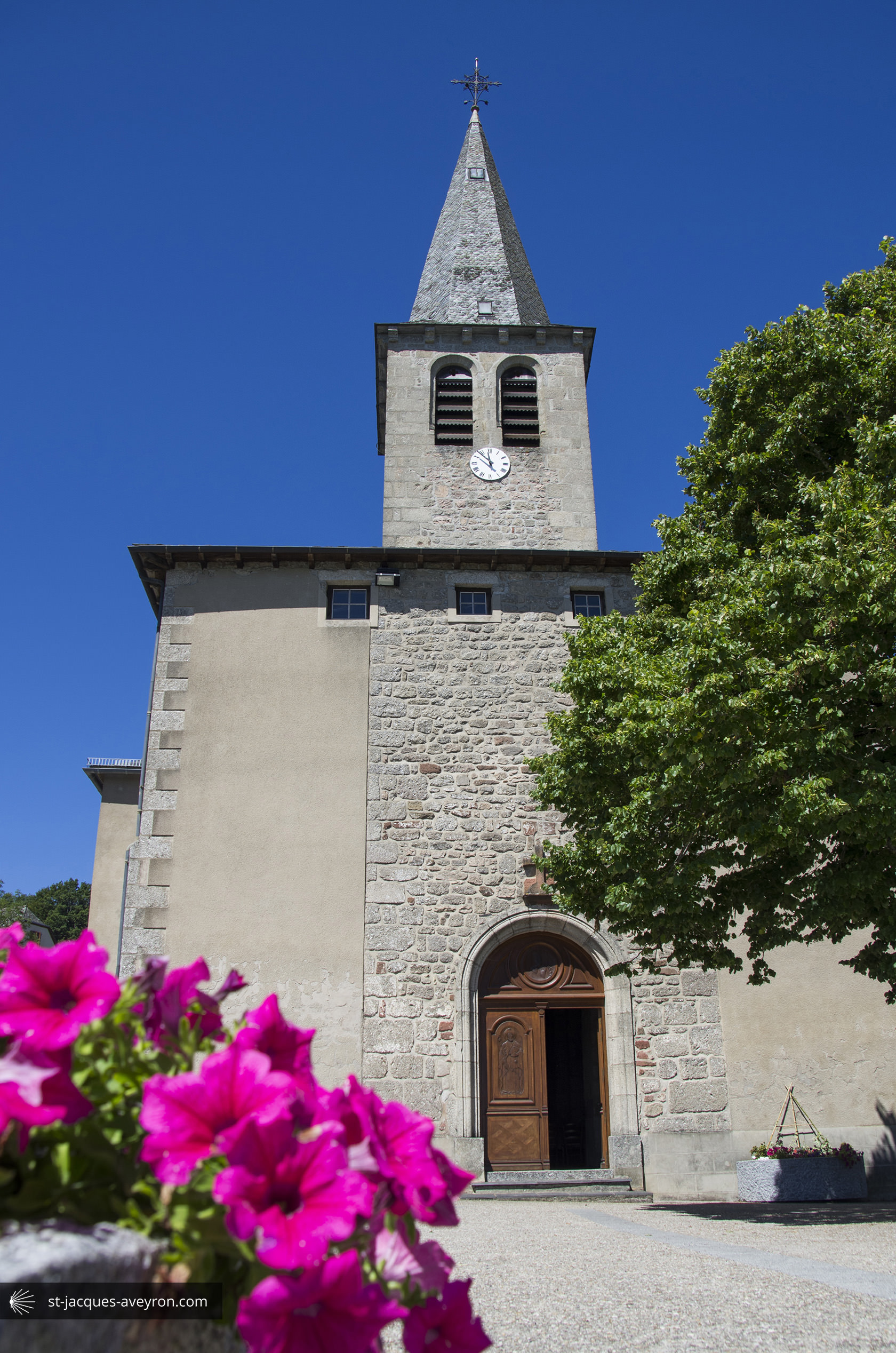
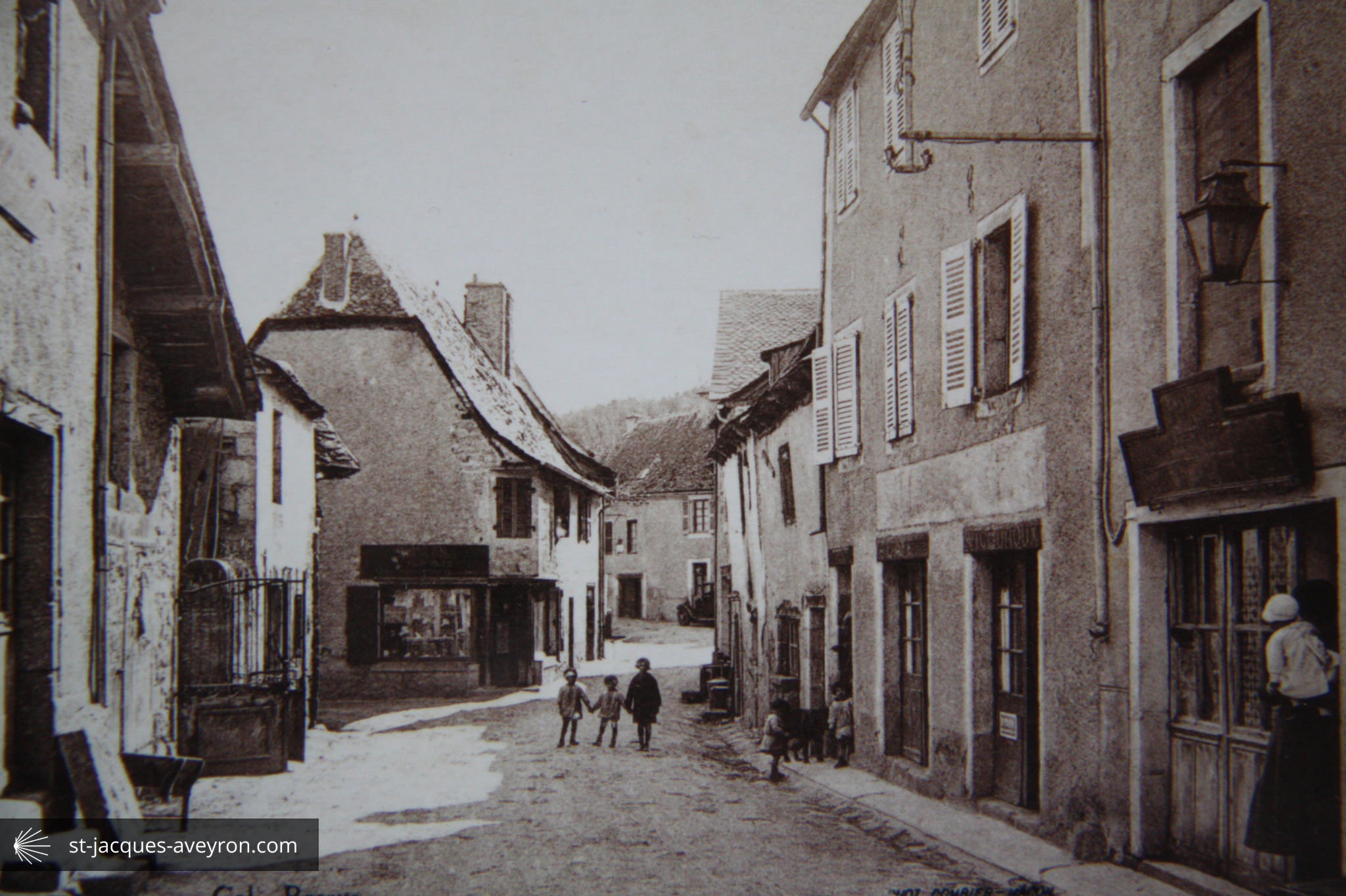
The earliest mention of the village in the records goes back to 1082. At that time, the medieval village was spread out along the banks of the Boralde. The establishment of a priory was instrumental in the village's rapid development on the Route to Santiago de Compostela; weavers and tanners came to work here and trade with the Domerie d'Aubrac flourished.
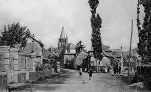
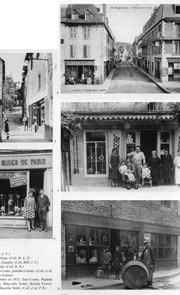
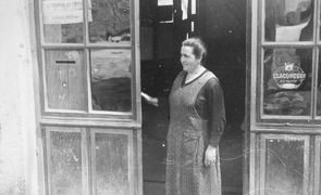
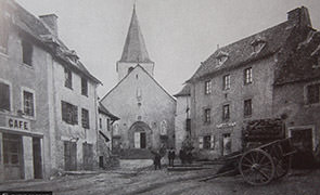
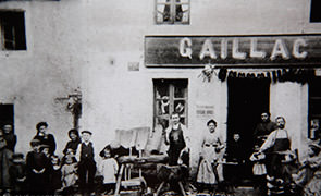
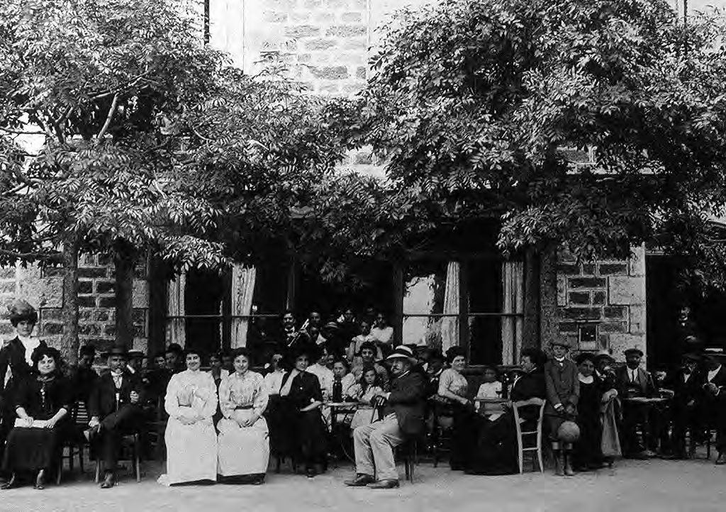
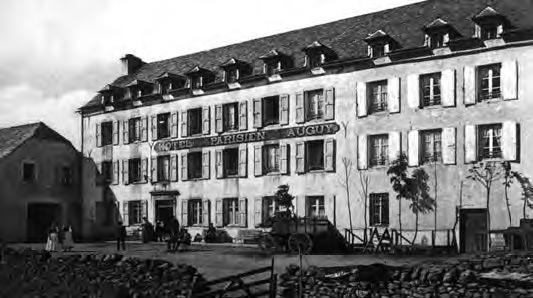
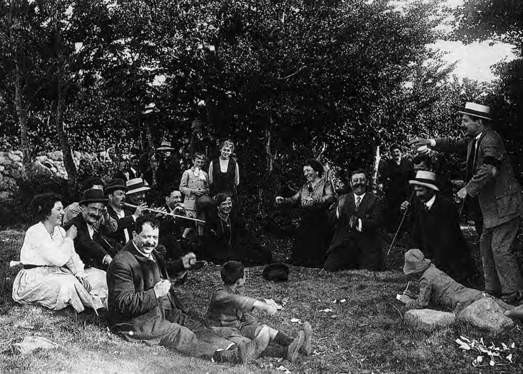
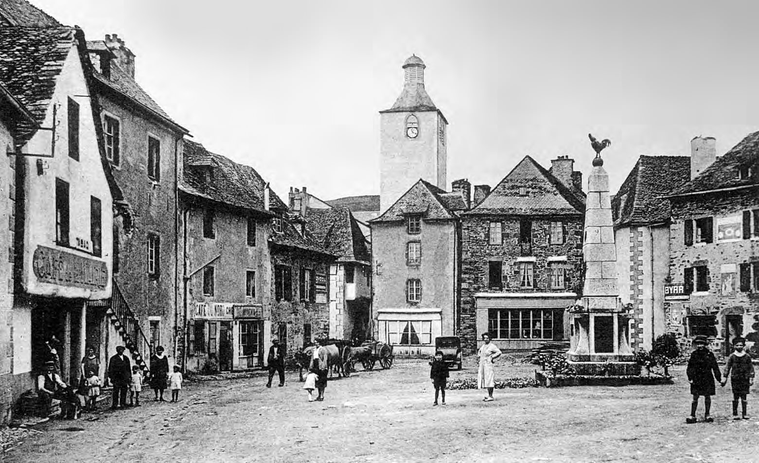
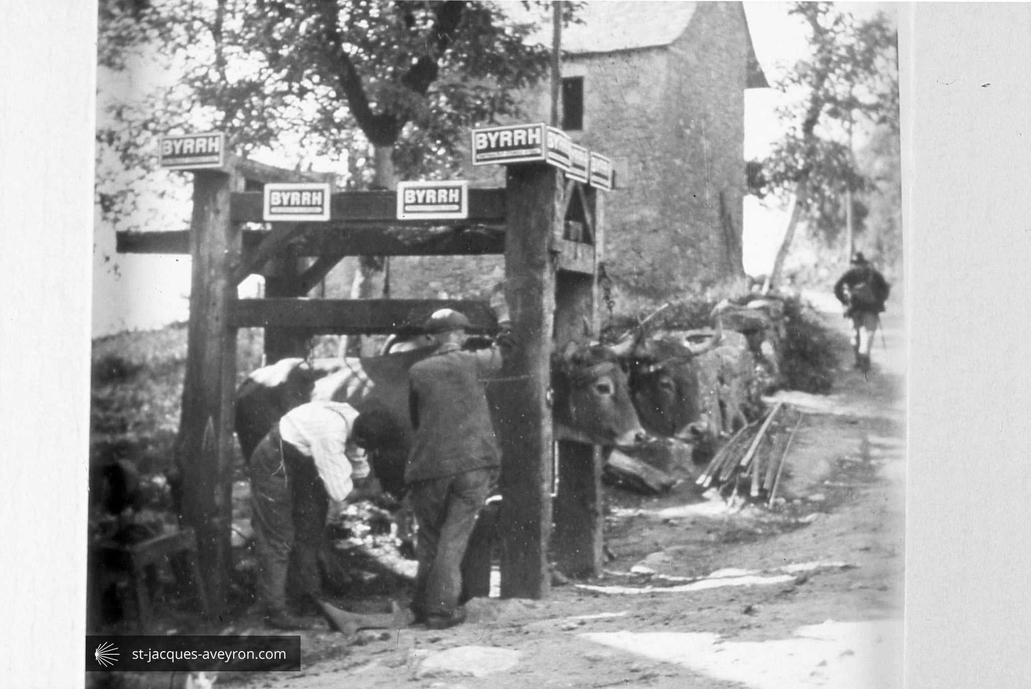
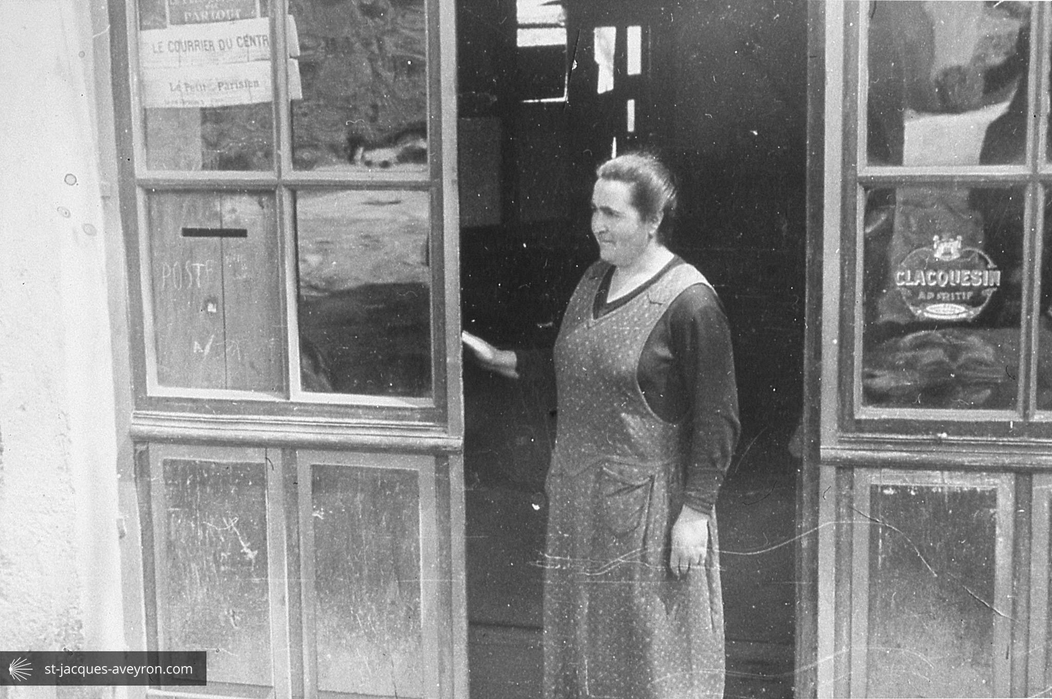
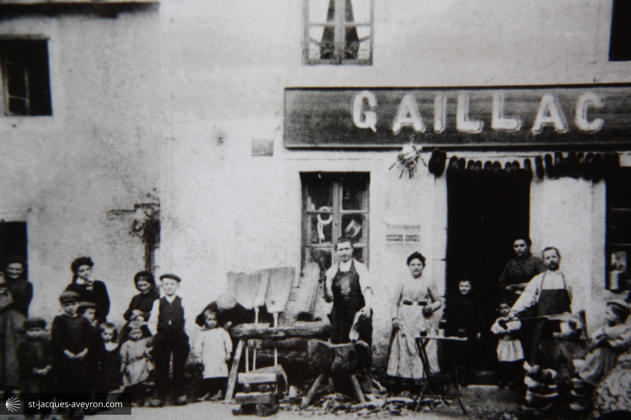
At the beginning of the 20C, Saint Chély d’Aubrac was a prosperous little town. The large buildings on avenue d’Aubrac are evidence of this prosperity, as are the many shops which can be traced around the village. The following years would be more difficult: rural exodus, the disappearance of small skilled trades, the draw of the town have meant that today the village only has 250 inhabitants.

Aubrac-Laguiole Tourist Office
Saint Chély d'Aubrac Officeure
Rue de la Tour - F - 12470 Saint-Chély-d'Aubrac
Tel. +33 (0)5 65 44 21 15
Email : tourisme@aubrac-laguiole.com
Web : www.aubrac-laguiole.com
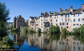
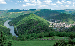
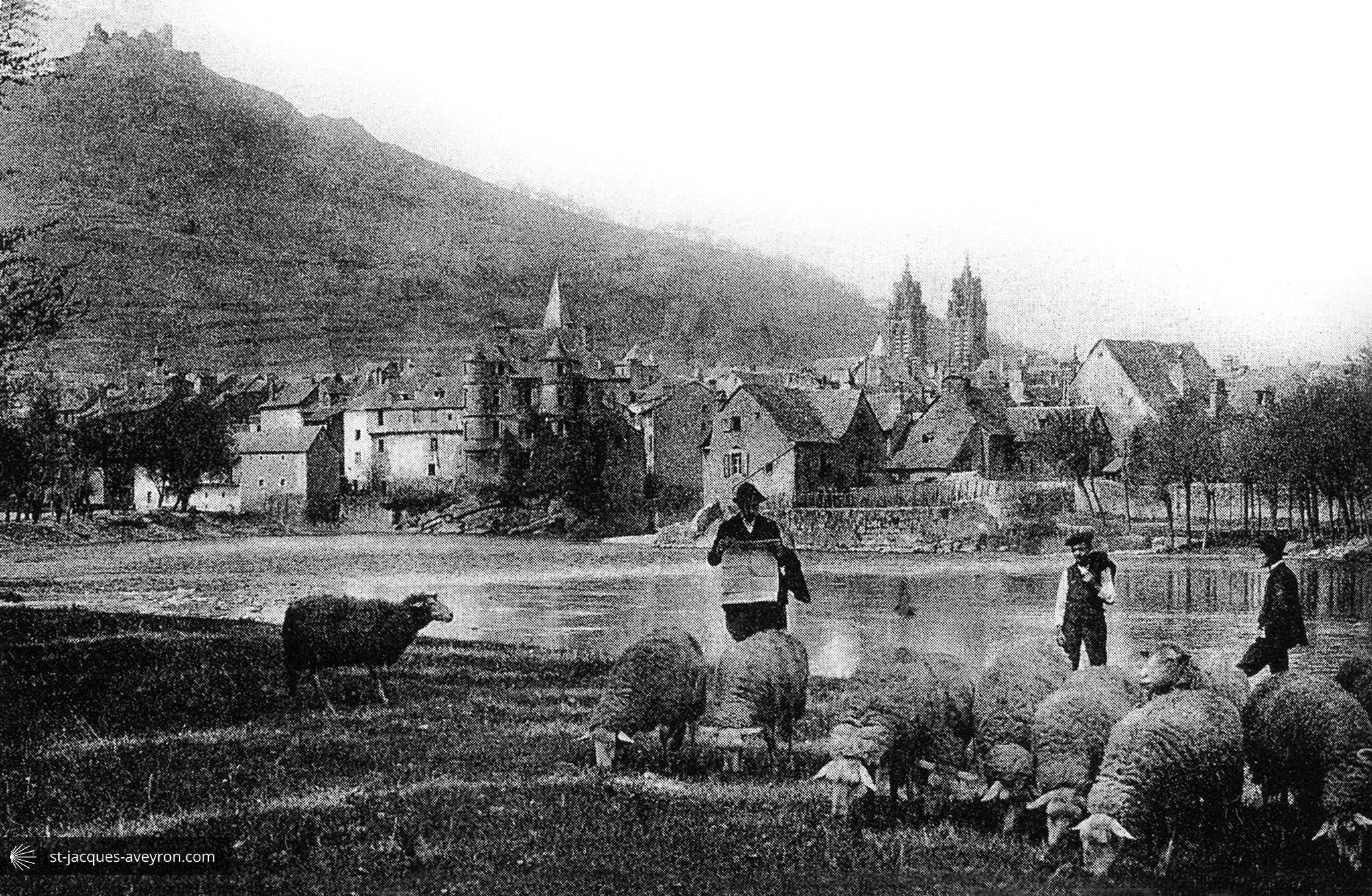
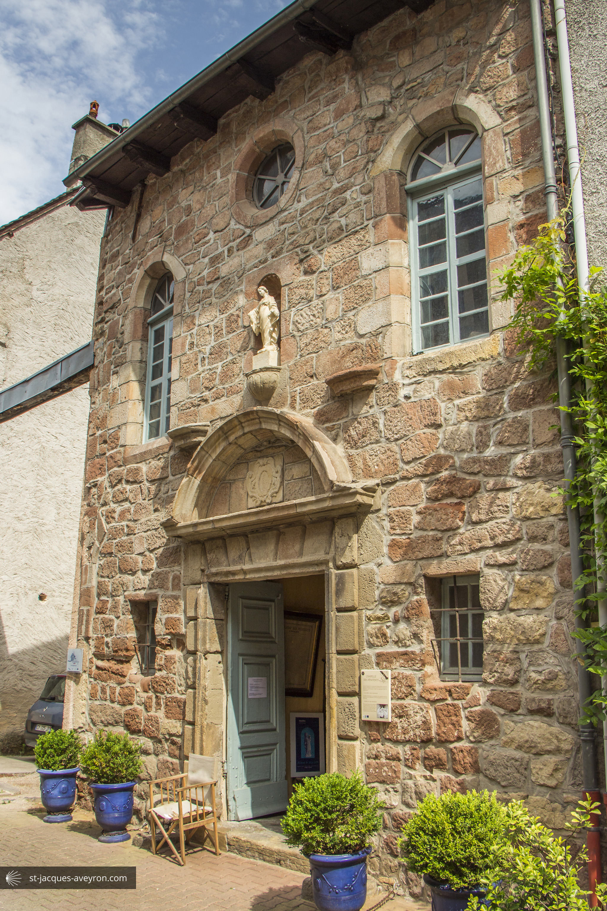
Saint-Côme-d'Olt
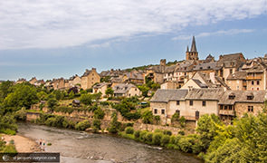
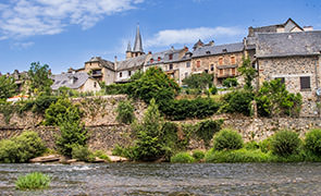

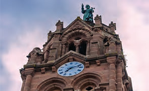
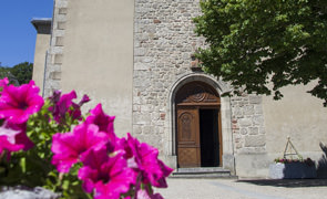
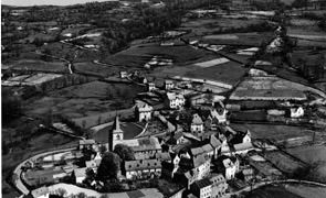
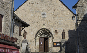
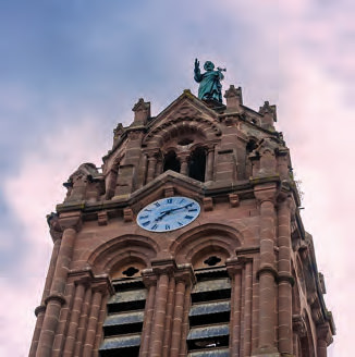
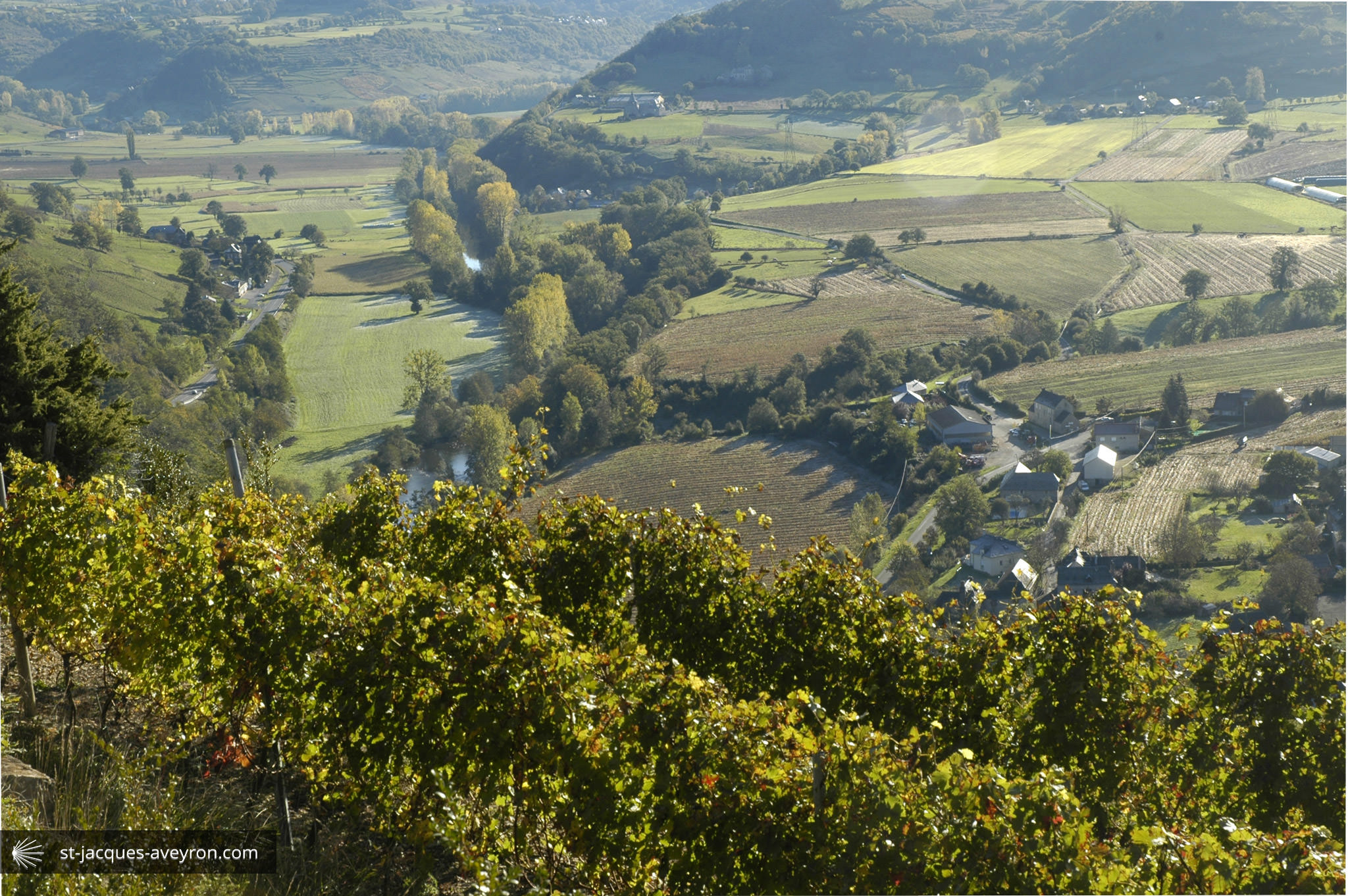
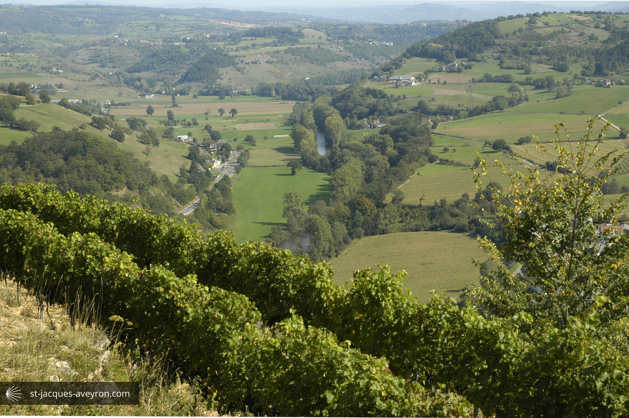
Listed as one of the "Most Beautiful Villages of France", Saint Côme d'Olt is a prosperous village which can be seen from the facades of its old buildings. The fertile Lot Valley, the mild climate, a strategic location between the causse limestone plateau and the highland of the Aubrac are all reasons that prompted rich landowners, merchants, local lords and clergymen to set up their winter quarters here. Among the beautiful 15C and 16C buildings, some are the work of Antoine Salvanh, the architect who designed the steeple for Rodez Cathedral.

Espalion - Estaing Tourist Office
Espalion Office
23 place du Plô - F - 12500 Espalion
Tel. +33 (0)5 65 44 10 63
Email : infos@tourisme-espalion.fr
Web : www.tourisme-espalion.fr
Web : www.facebook.com/TourismeEspalion
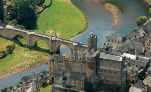
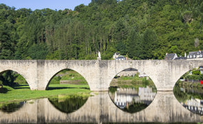
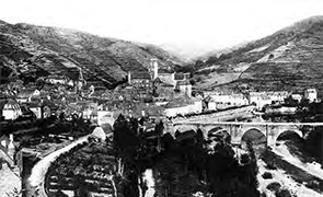
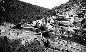
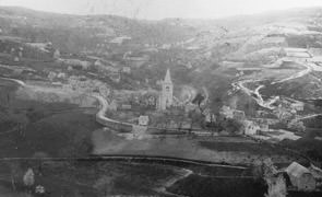
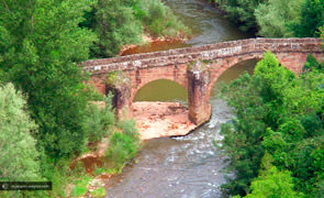
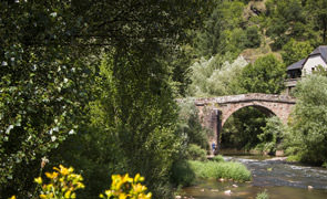
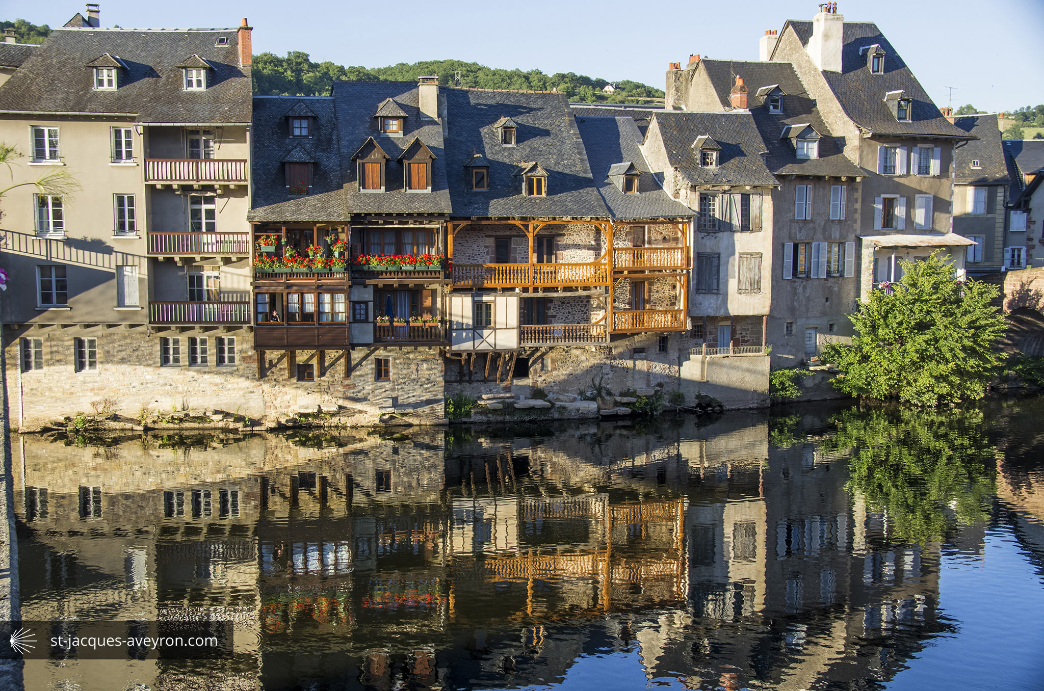
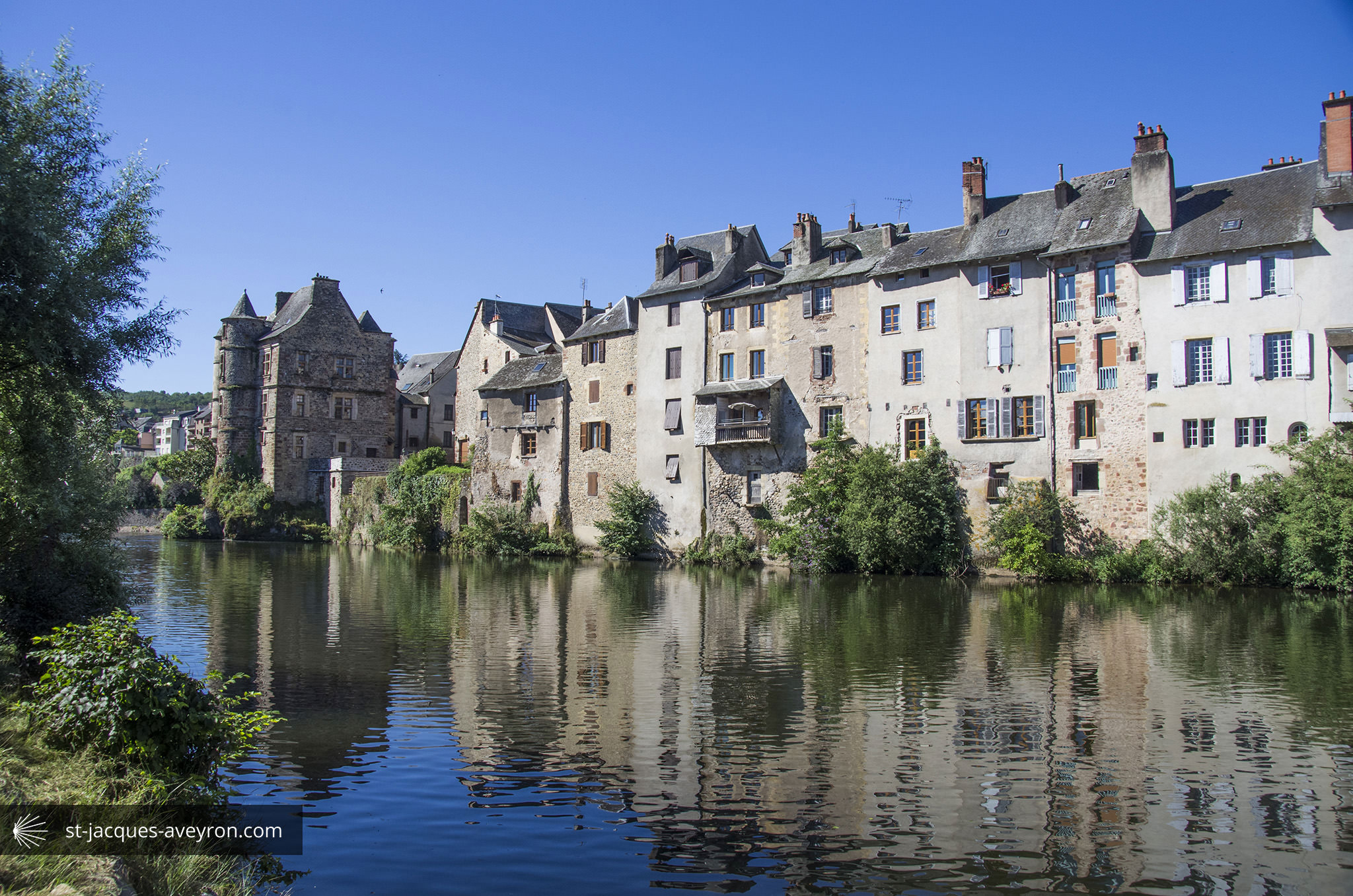
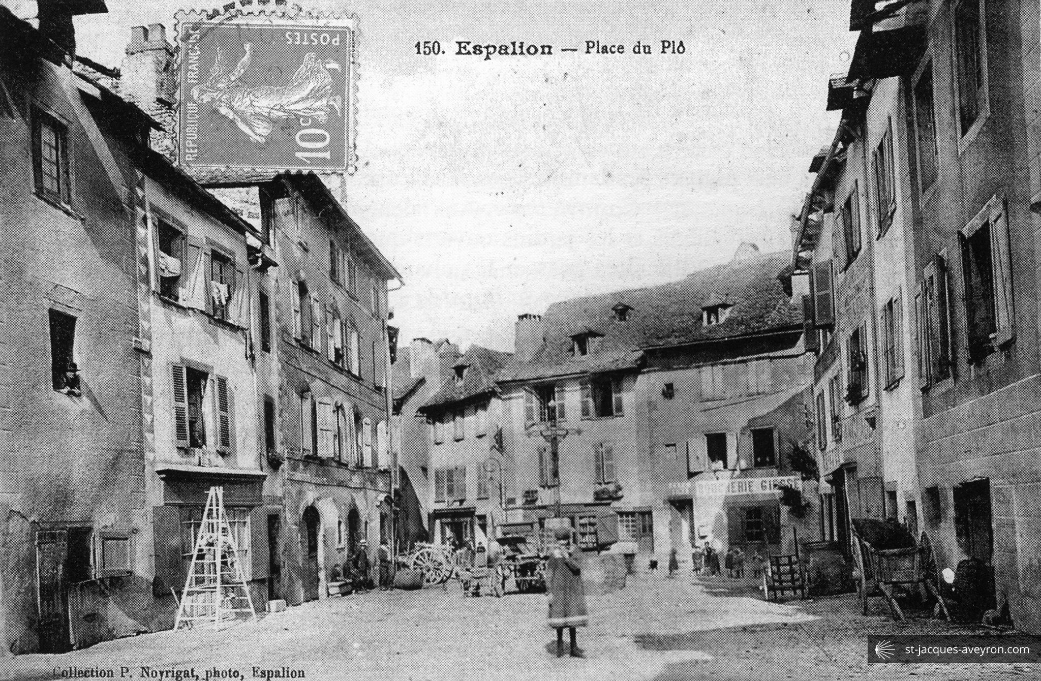
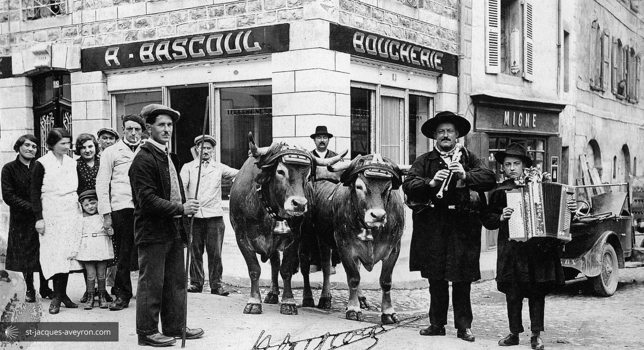
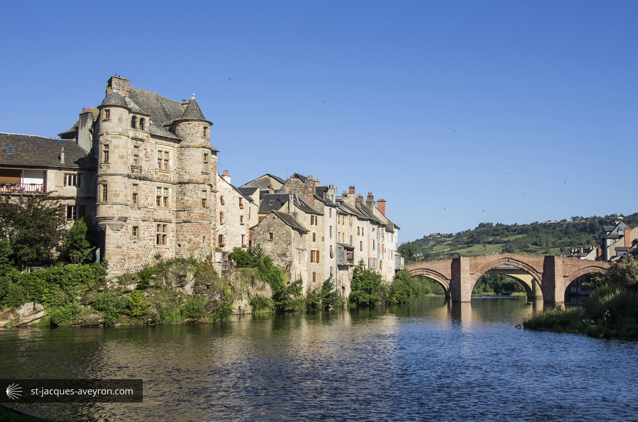
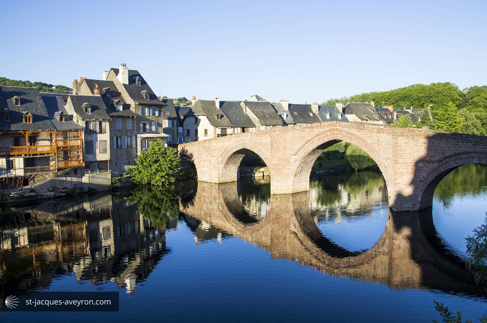
Espalion

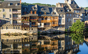
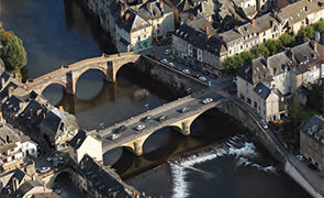
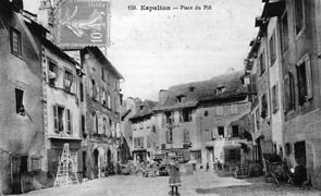
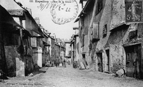
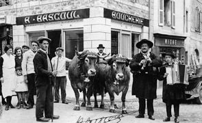
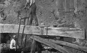
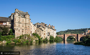
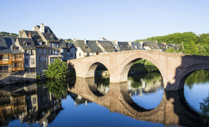


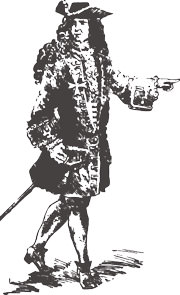
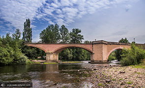
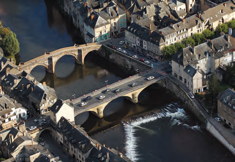
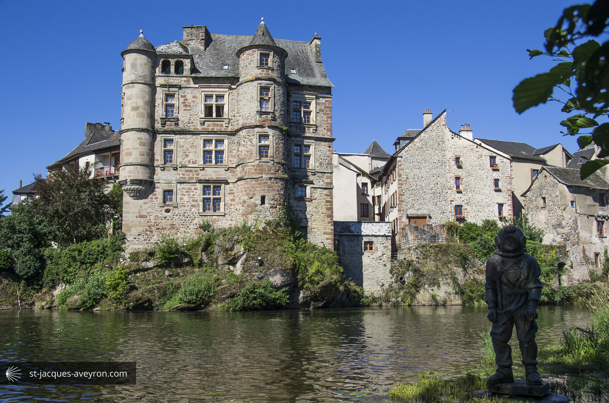
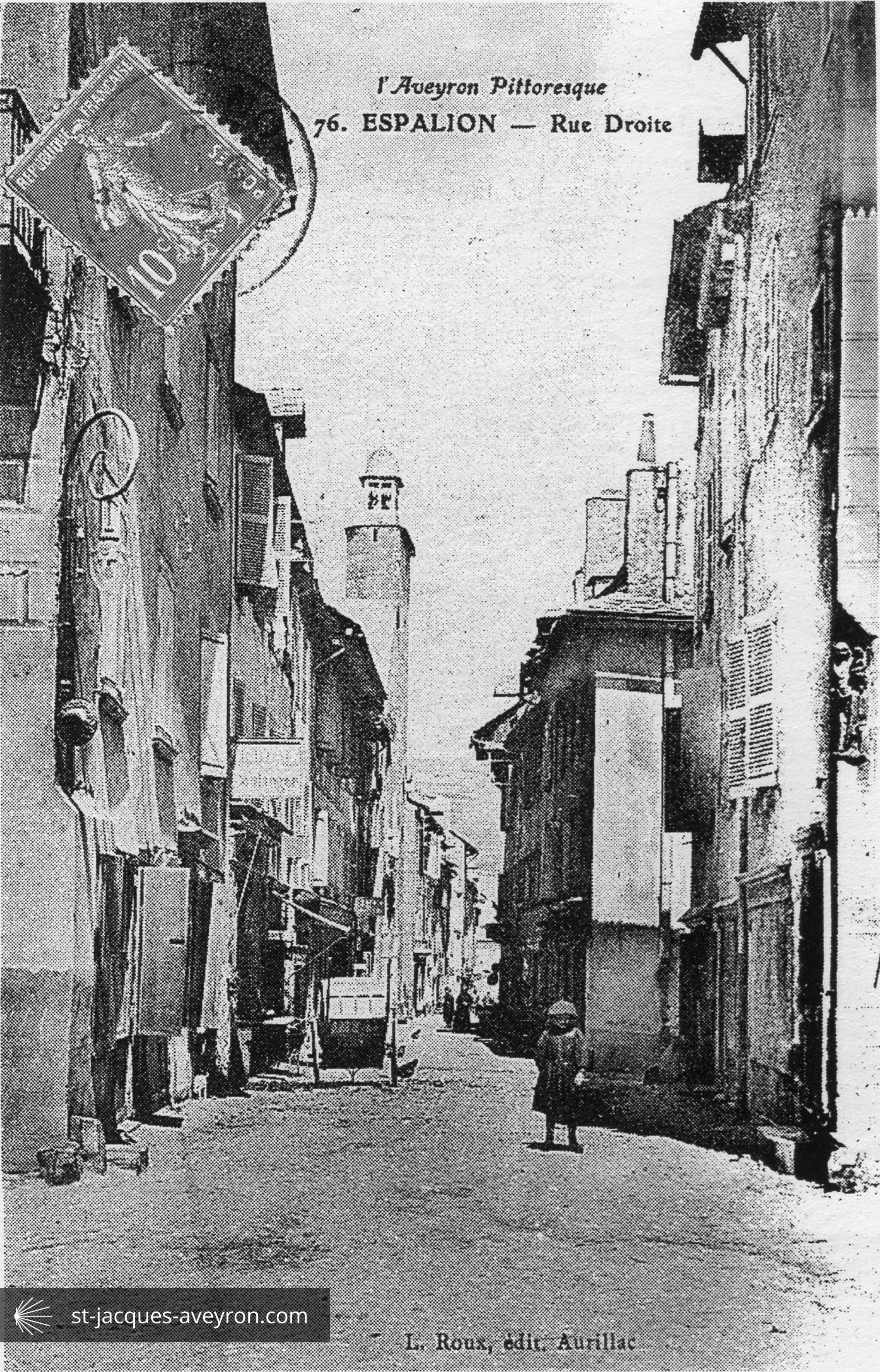
As early as the 12C, Espalion became an important stage on the Route to Santiago de Compostela. Pont Vieux bridge, spanning the Lot, is the key element that helped to develop the site and to strengthen its strategic position between Auvergne and Rouergue. In more recent times, it was trading between the Aubrac plateau and the valley that made Espalion important what with its huge livestock fairs and the tanneries that have left a highly unusual architectural heritage on the banks of the Lot in the form of the calquières.

Espalion - Estaing Tourist Office
Espalion Office
23 place du Plô - F -12500 Espalion
Tel. +33 (0)5 65 44 10 63
Email : infos@tourisme-espalion.fr
Web : www.tourisme-espalion.fr
Web : www.facebook.com/TourismeEspalion
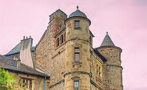
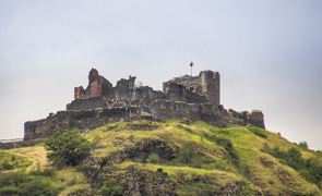
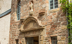
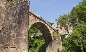
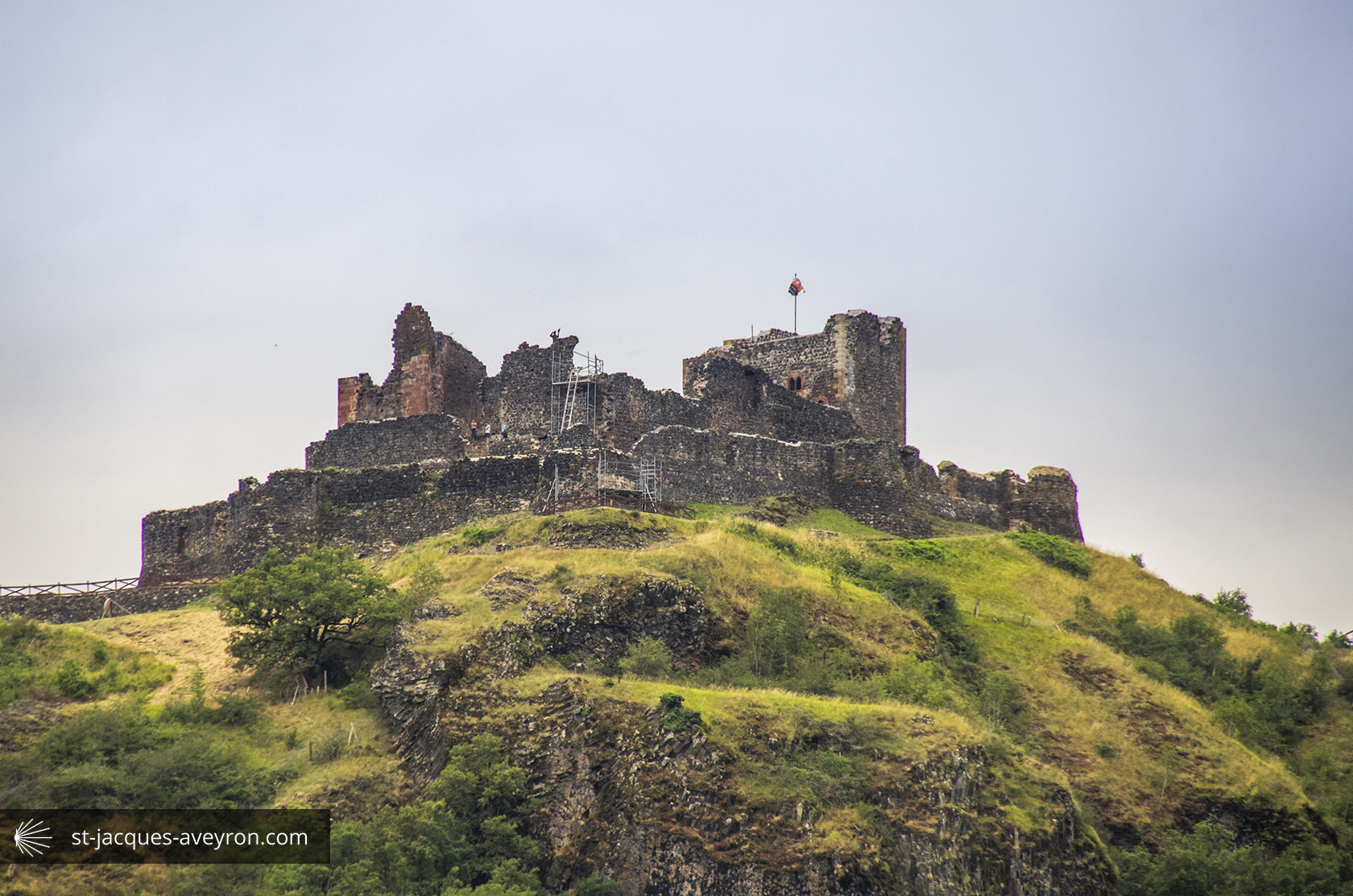
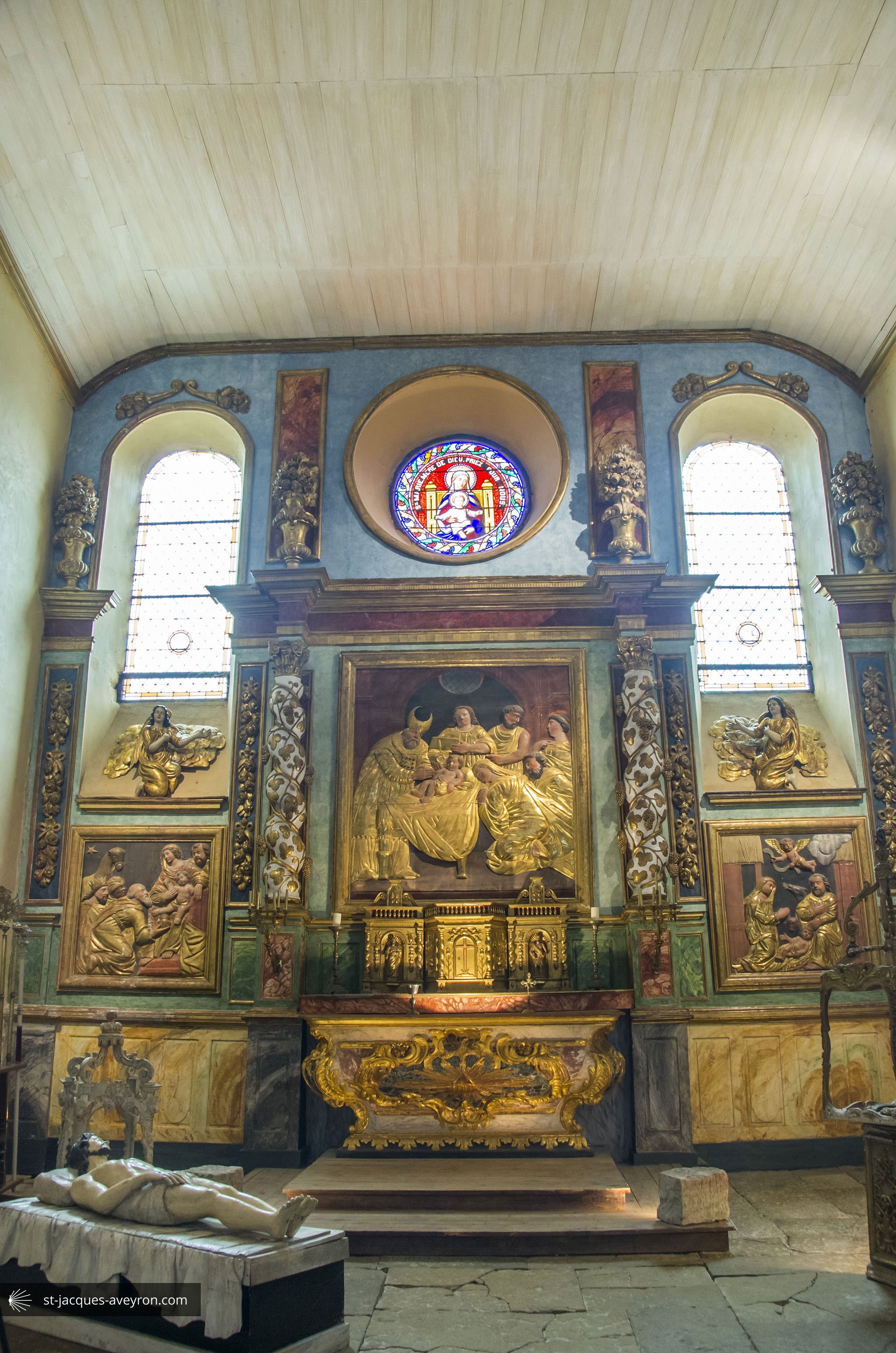
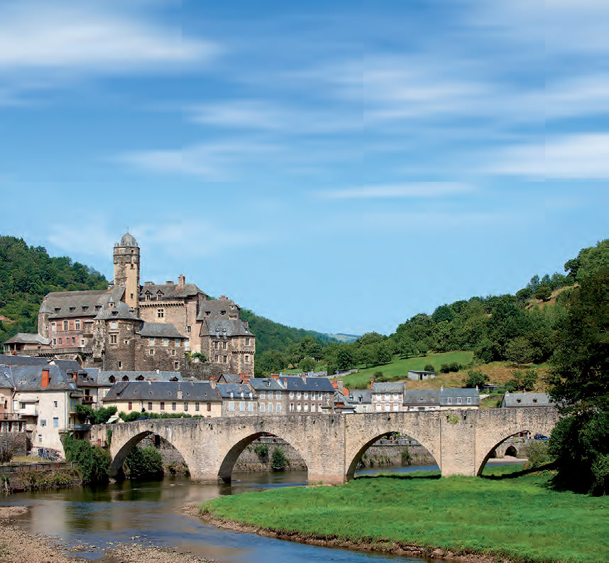
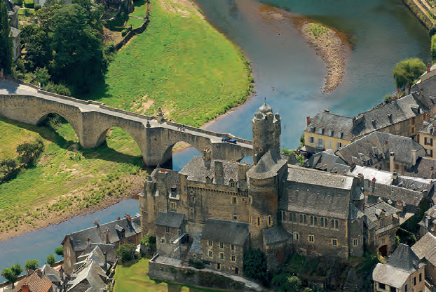
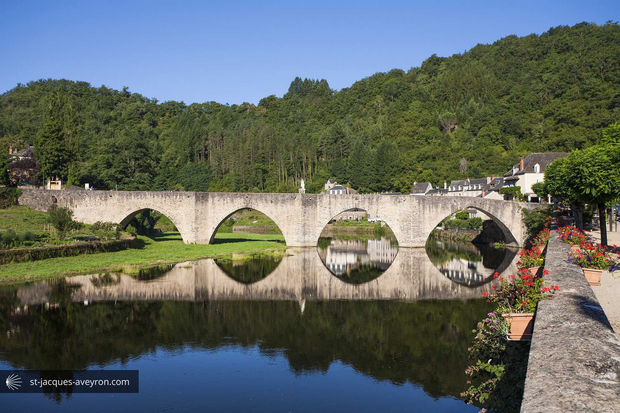
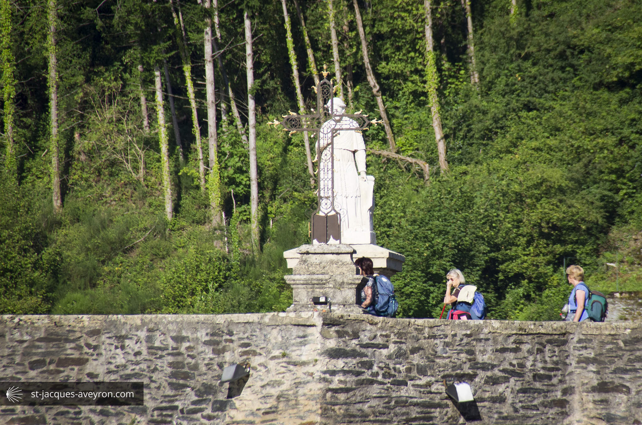
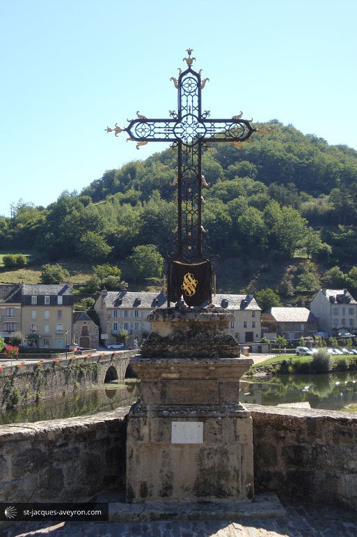
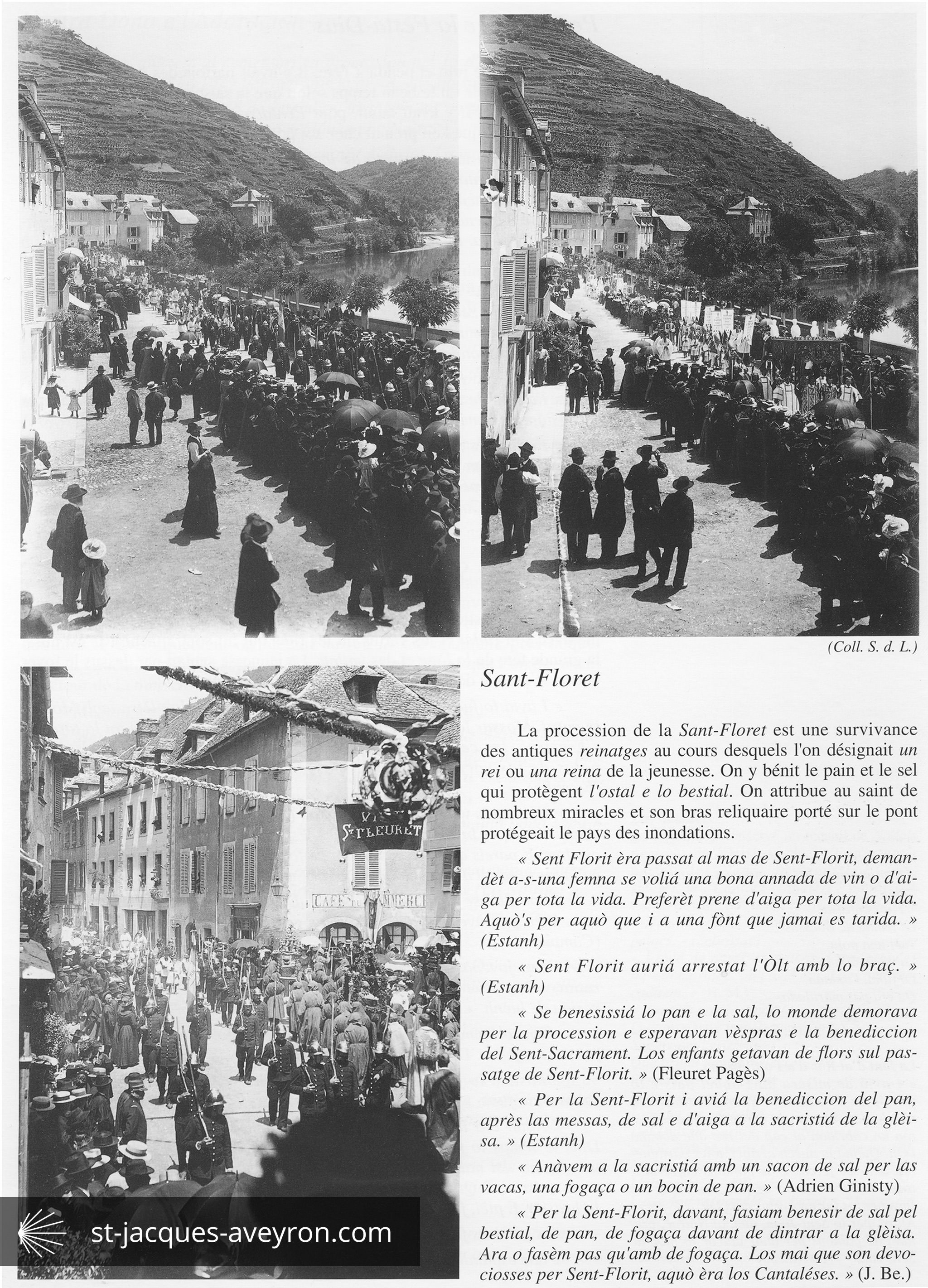
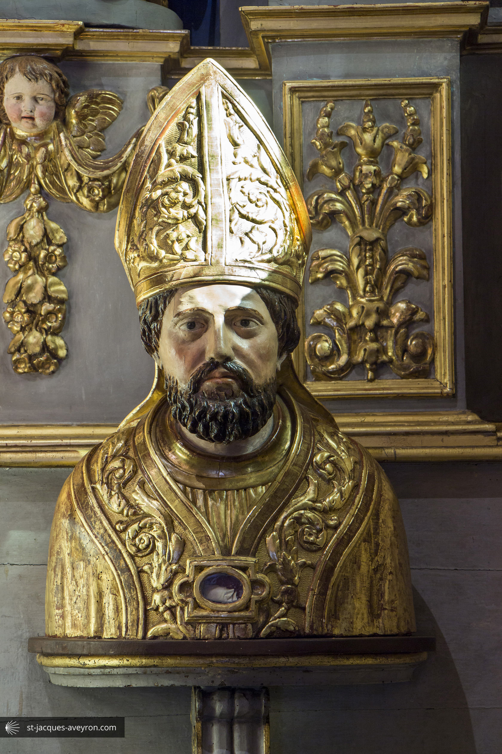
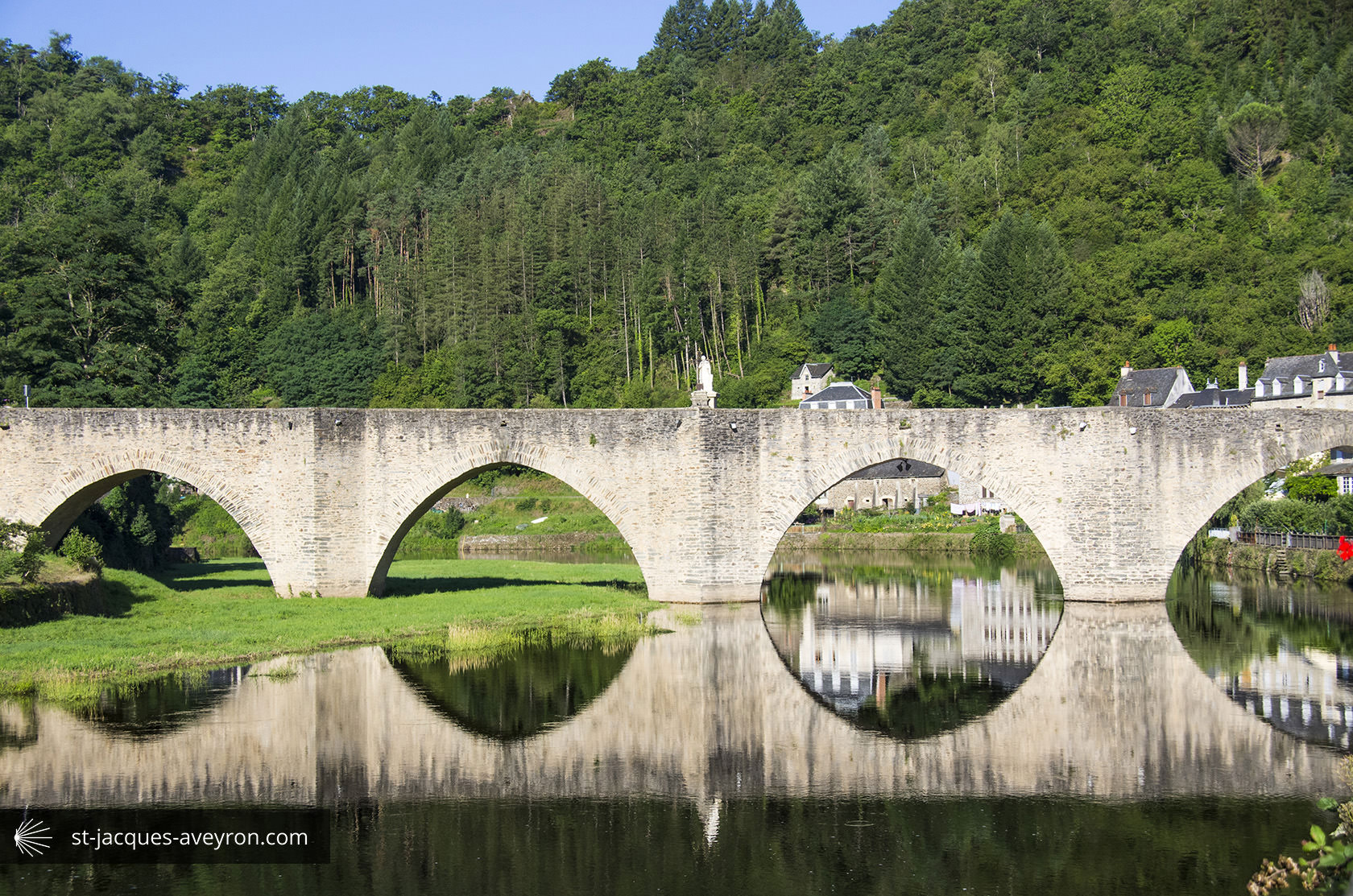
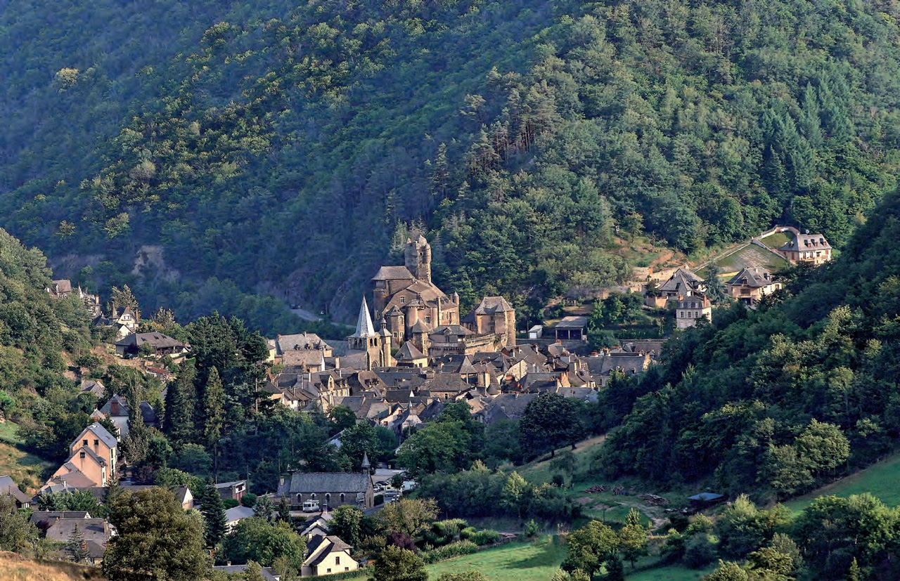
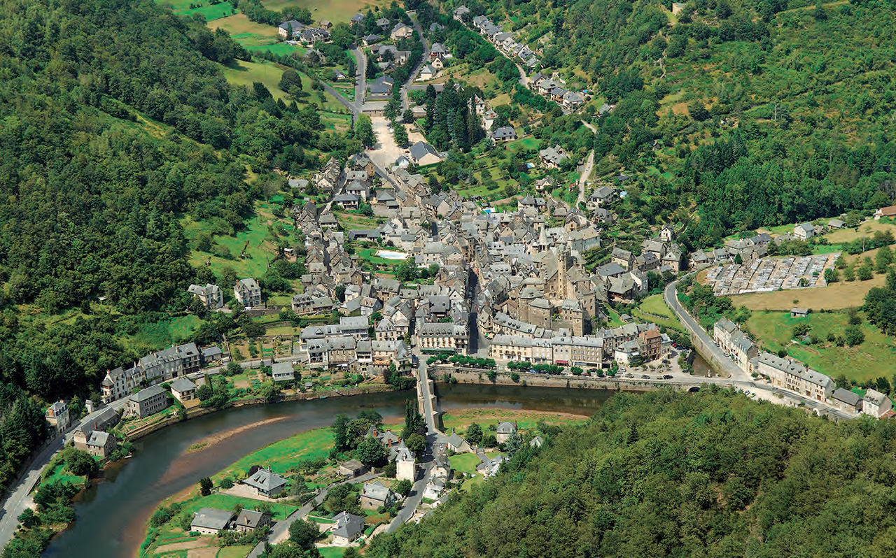
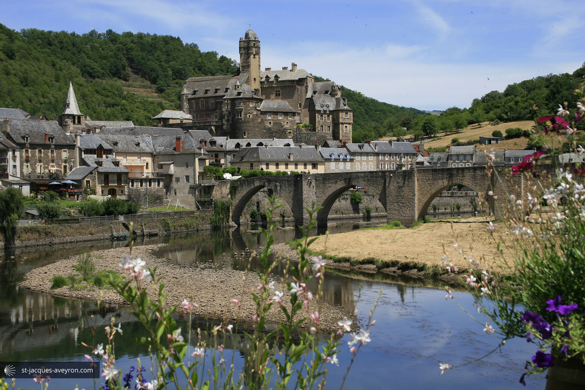
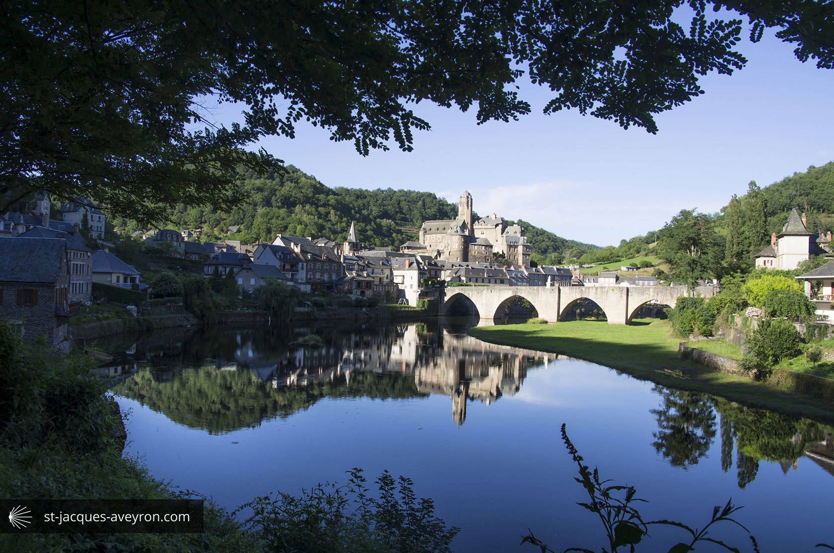
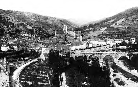
Estaing

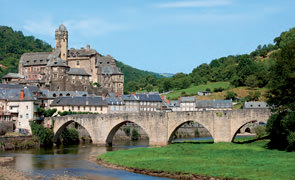
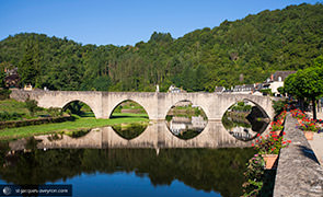
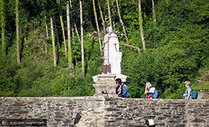
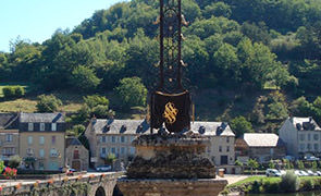
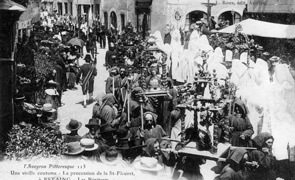
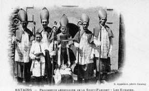
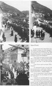
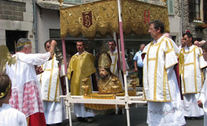
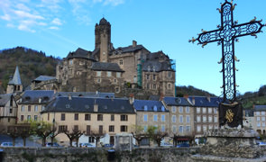
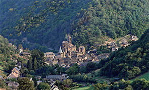
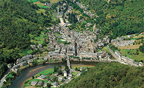
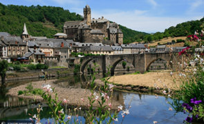
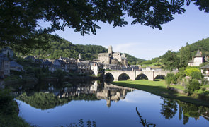
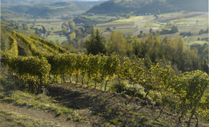
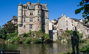
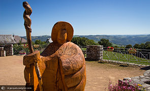
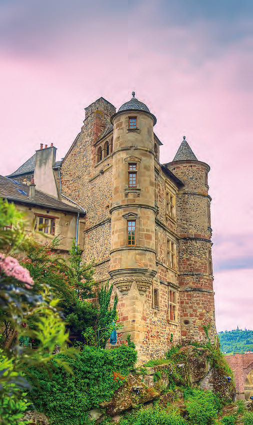
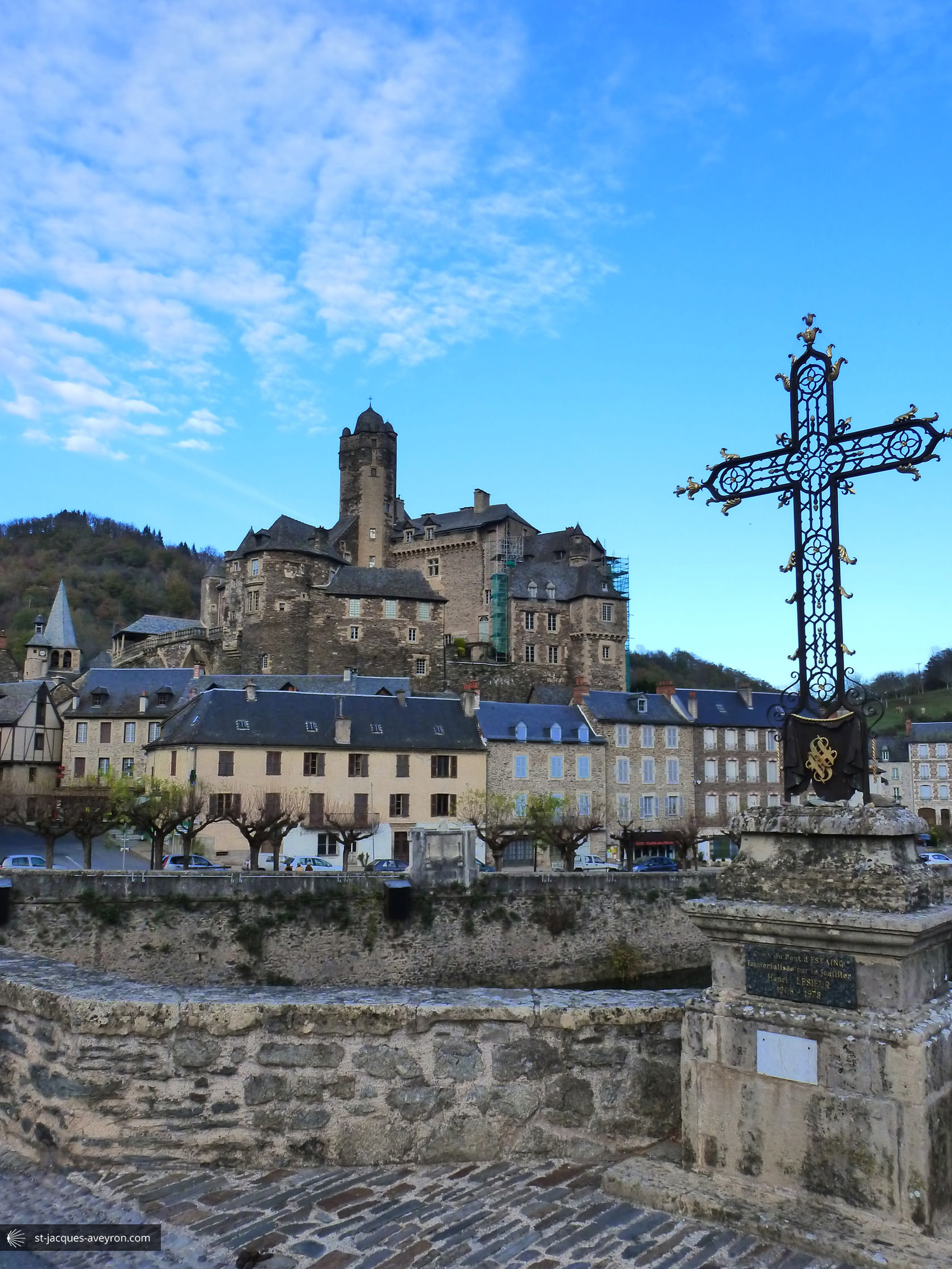
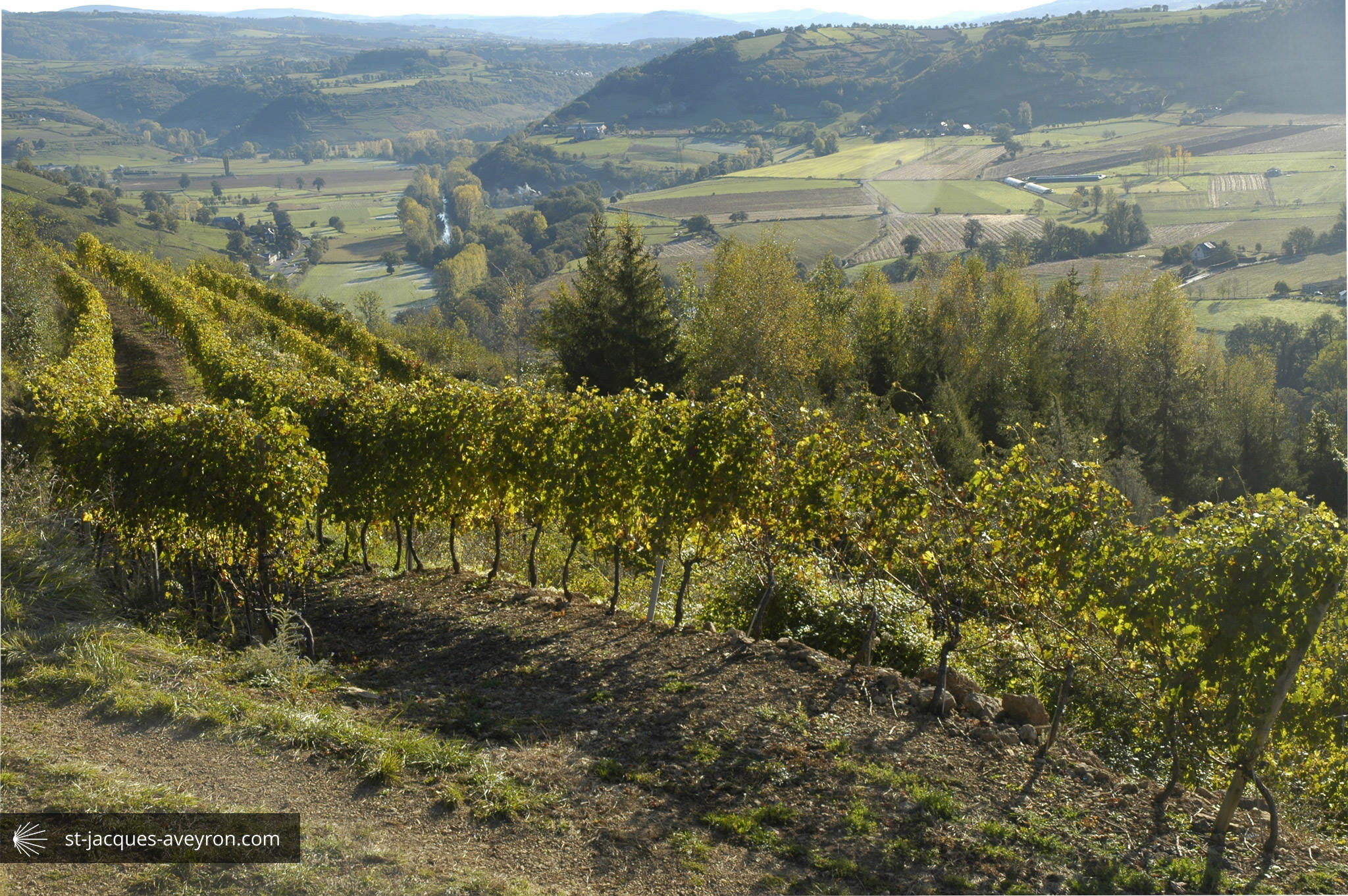
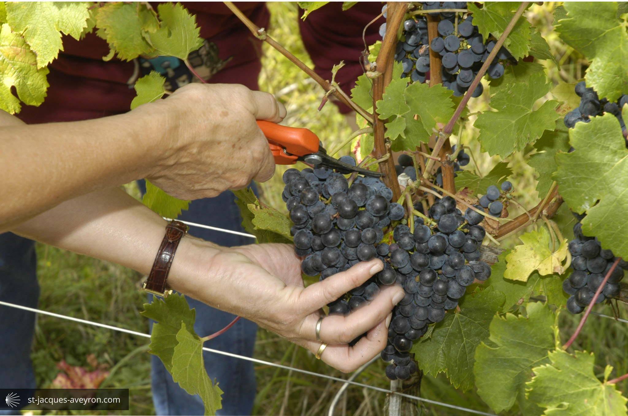
Also listed as one of the "Most Beautiful Villages of France", Estaing managed to grow thanks to the civil power of its lords who "competed with" the great local abbeys. In 1511, the construction of a bridge over the Lot, on the impetus of Bishop François d'Estaing, increased the influence of the medieval town as far as pilgrims to Santiago de Compostela and inhabitants of the surrounding plateaux were concerned. Boasting a vineyard, fairs and the hemp cloth industry, Estaing was also a central administrative site in the 17C.
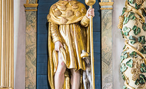
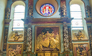
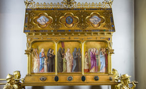
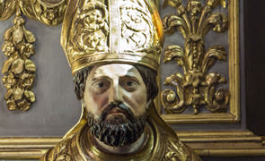
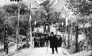
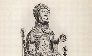
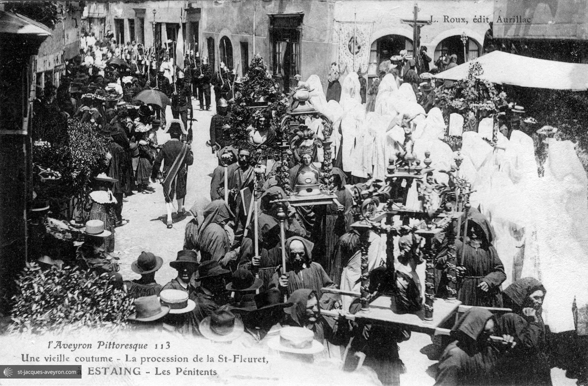
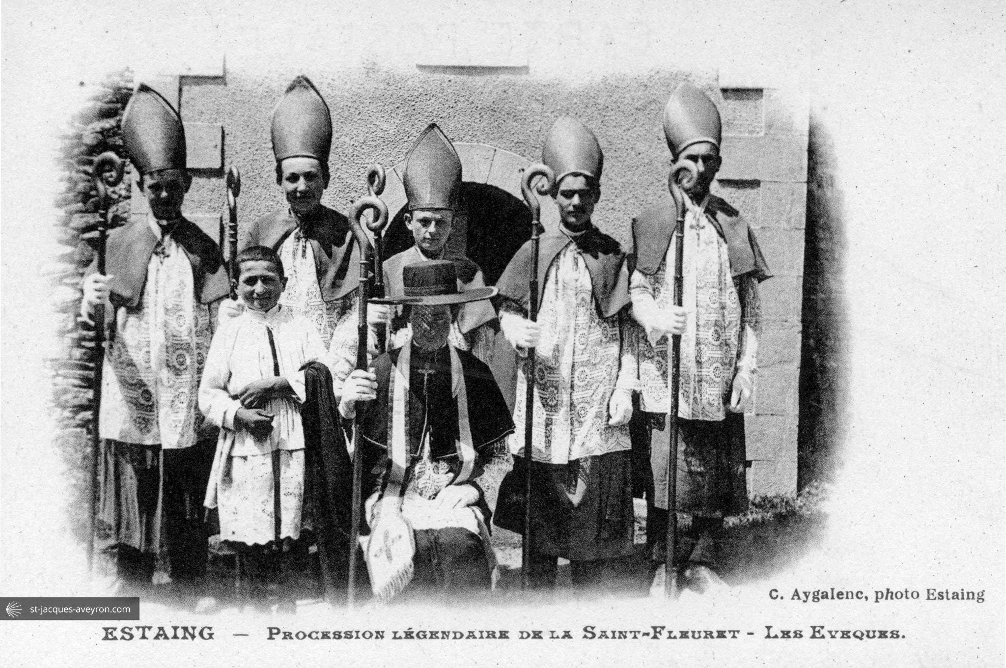
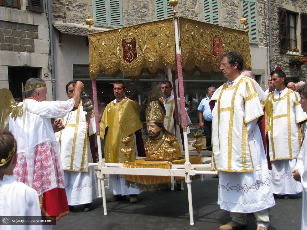
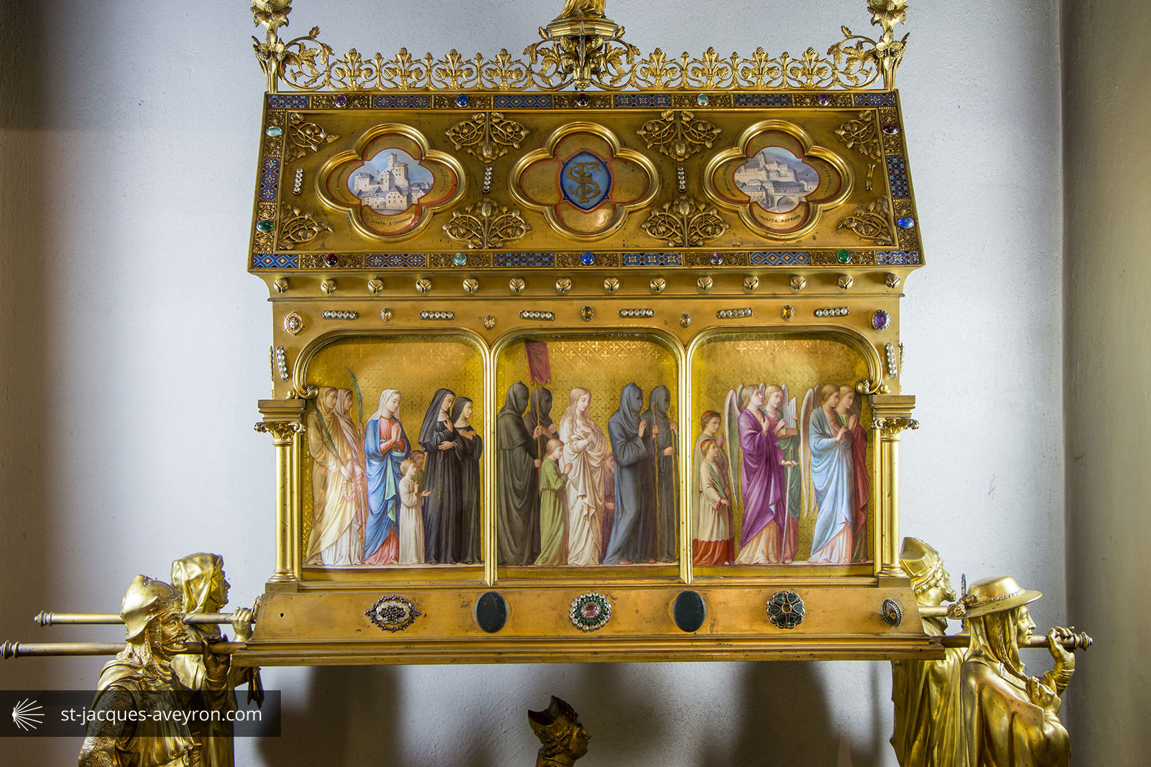
Estaing is of course home to the magnificent castle belonging to one of the most important families in Rouergue, but also to Saint Fleuret, who has been worshipped since the 15C and whose pilgrimage still continues to this day.

Espalion - Estaing Tourist Office
Estaing Office
24 rue François d'Estaing - F -12190 Estaing
Tel. +33 (0)5 65 44 03 22
Email : ot-estaing@orange.fr
Web : tourisme-estaing.fr
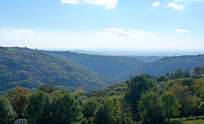
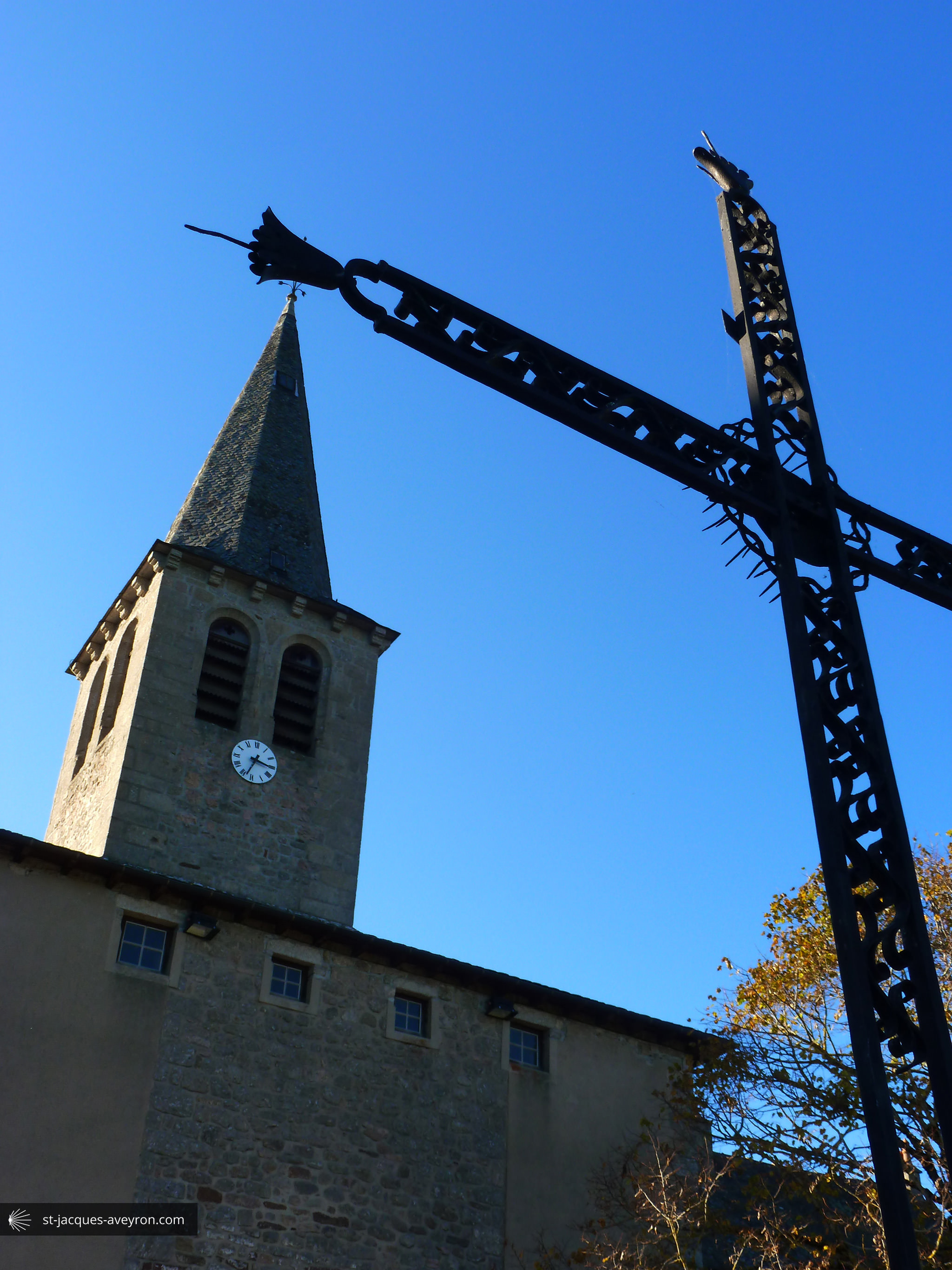
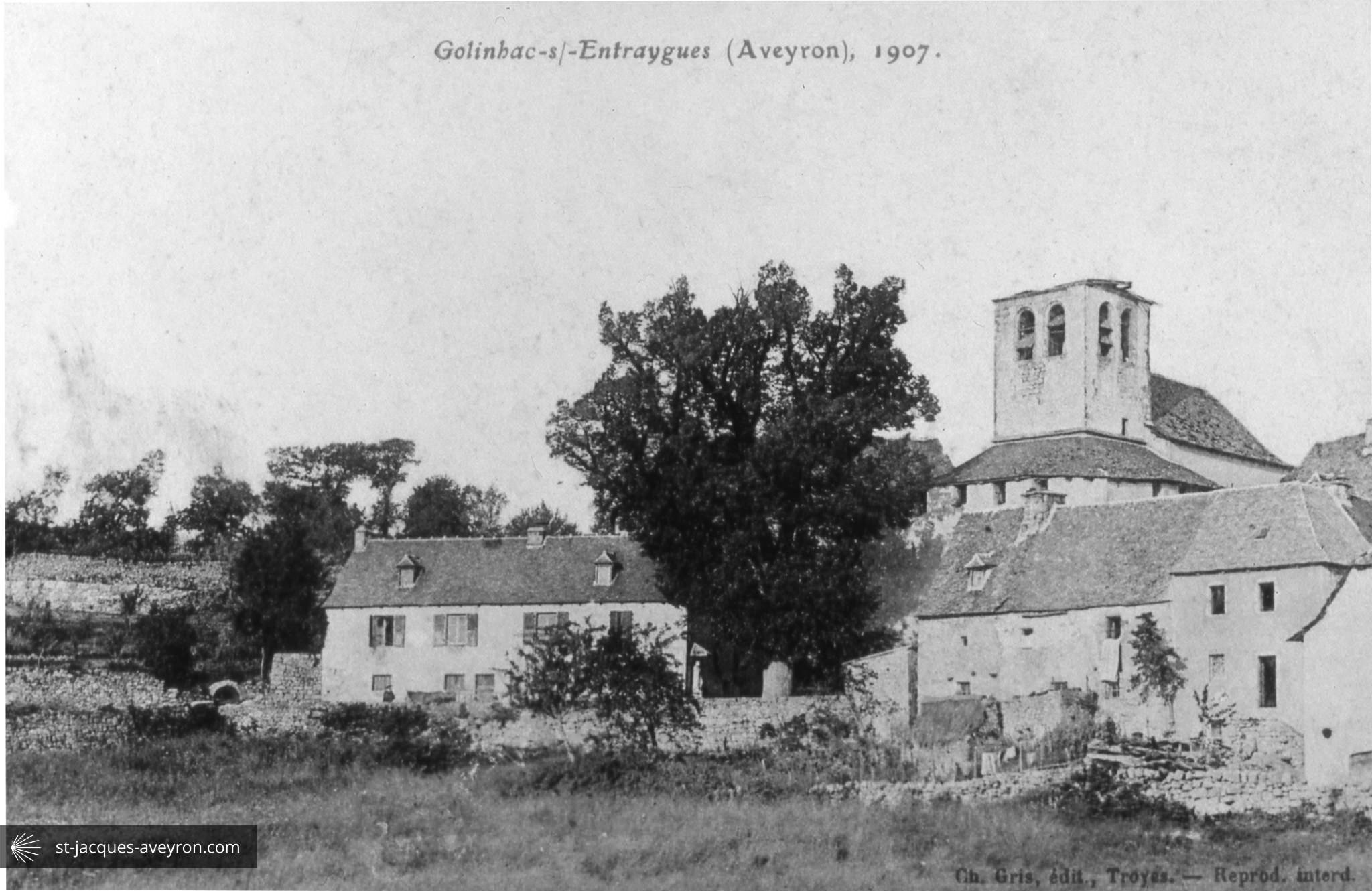
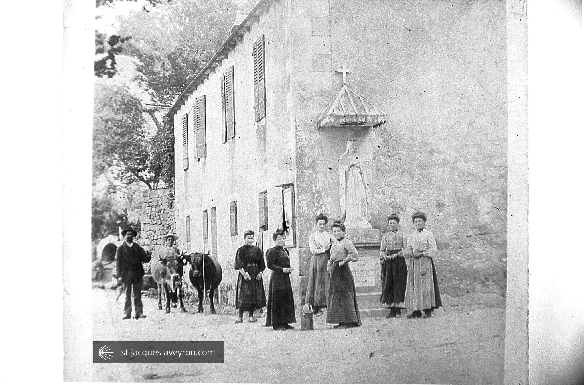
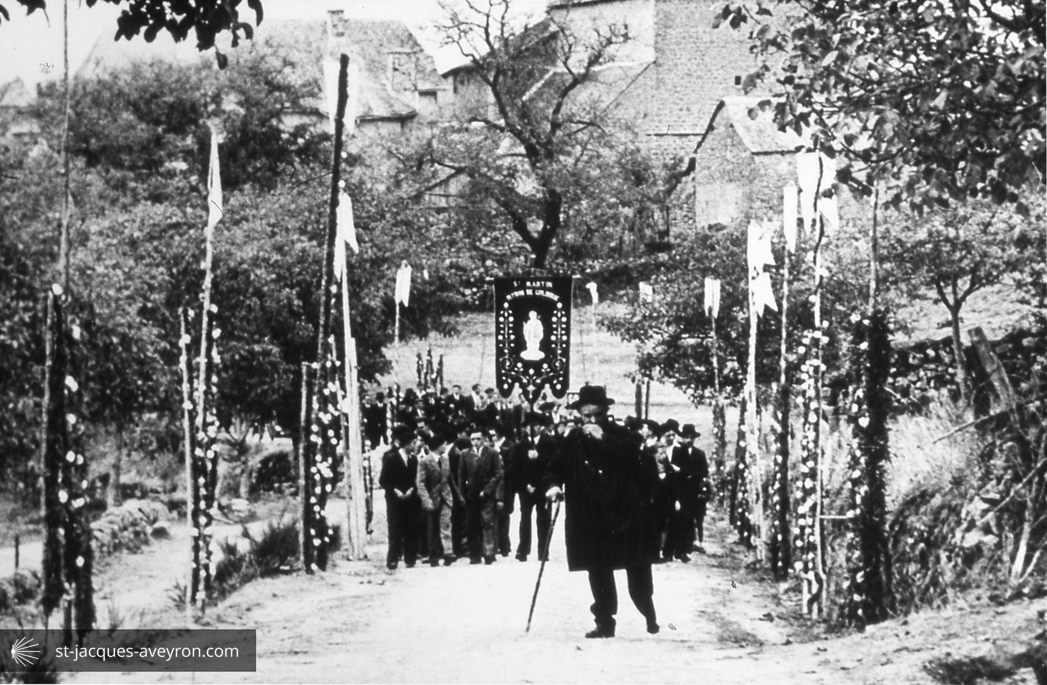
Golinhac
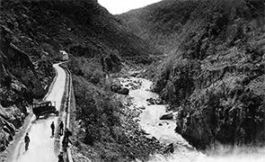
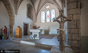
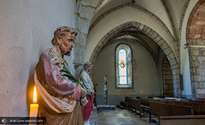
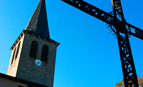
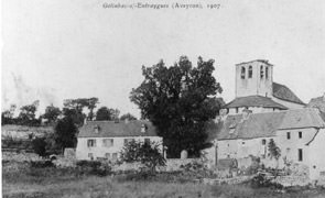
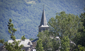
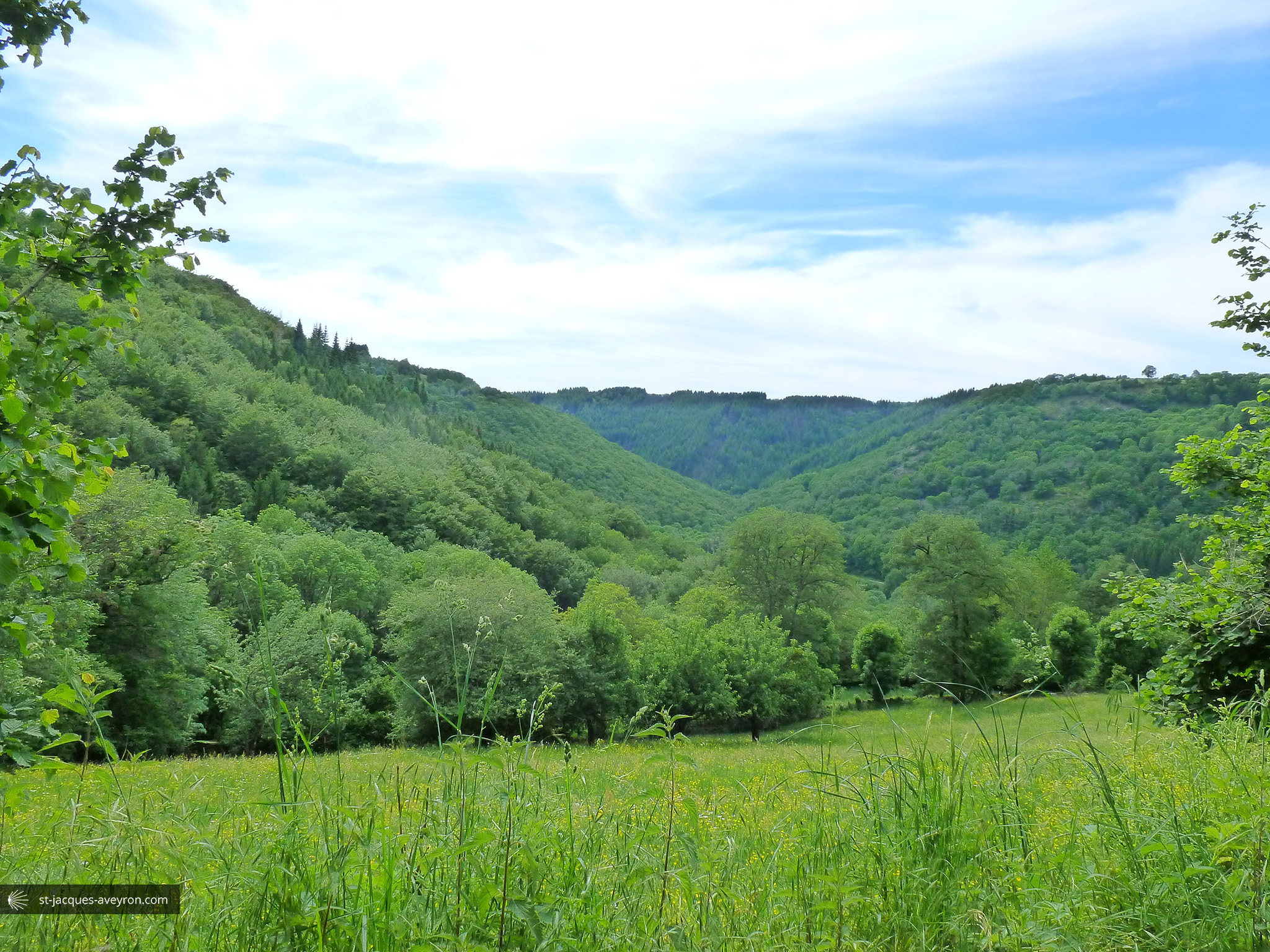
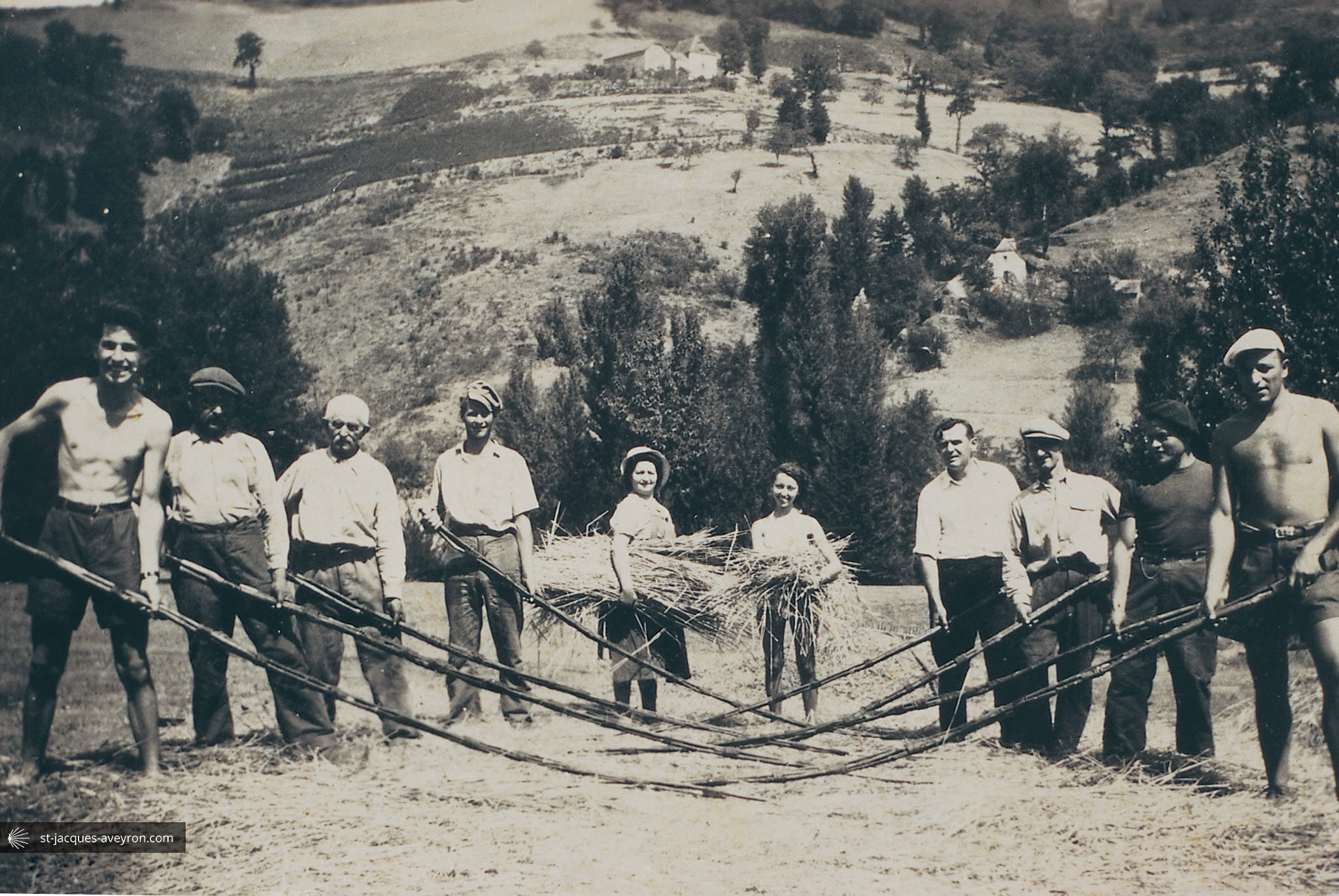
From its perch up on the plateau, Golinhac overlooks the gorges of the Lot. In the 10C and 11C, the village was a viguerie and had a priory, attached to Conques abbey in 1097. Throughout the feudal period, Golinhac was an important site for the local lords and had a role that would increase in the 16C, with an administrative function, skilled crafts, two fairs and a mass on Sunday that attracted flocks of country people. This prosperity would last up until the middle of the 20C. Around 1940, the village boasted 8 cafés!

Pays d’Entraygues sur Truyère Tourist Office
Place de la république - F - 12140 Entraygues-sur-Truyère
Tel. +33 (0)5 65 44 56 10
Email : infos@tourisme-entraygues.com
Web : www.tourisme-entraygues.com
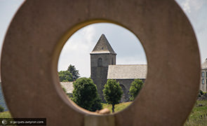
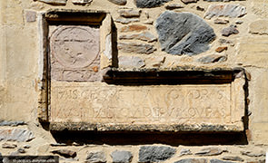
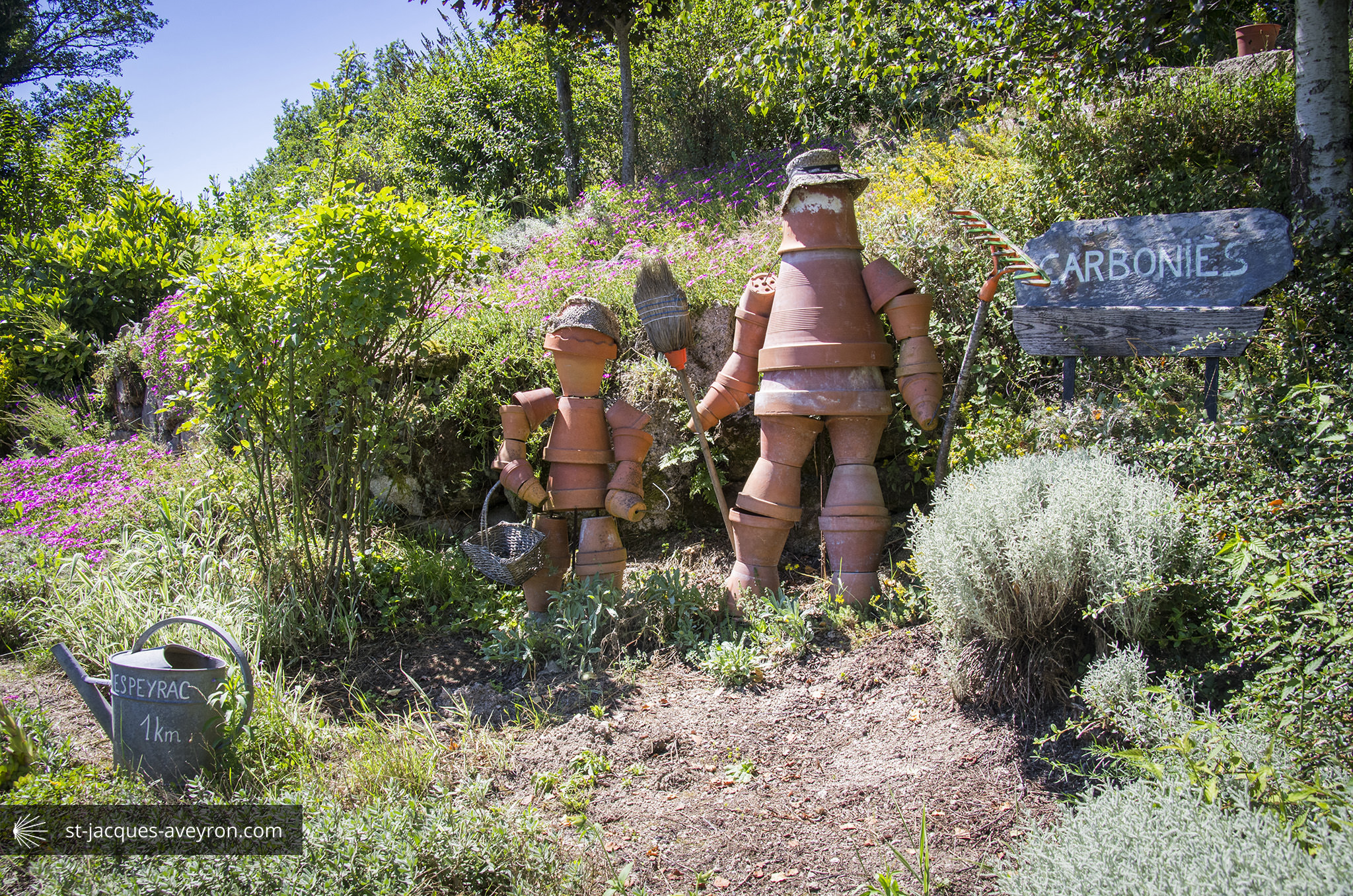
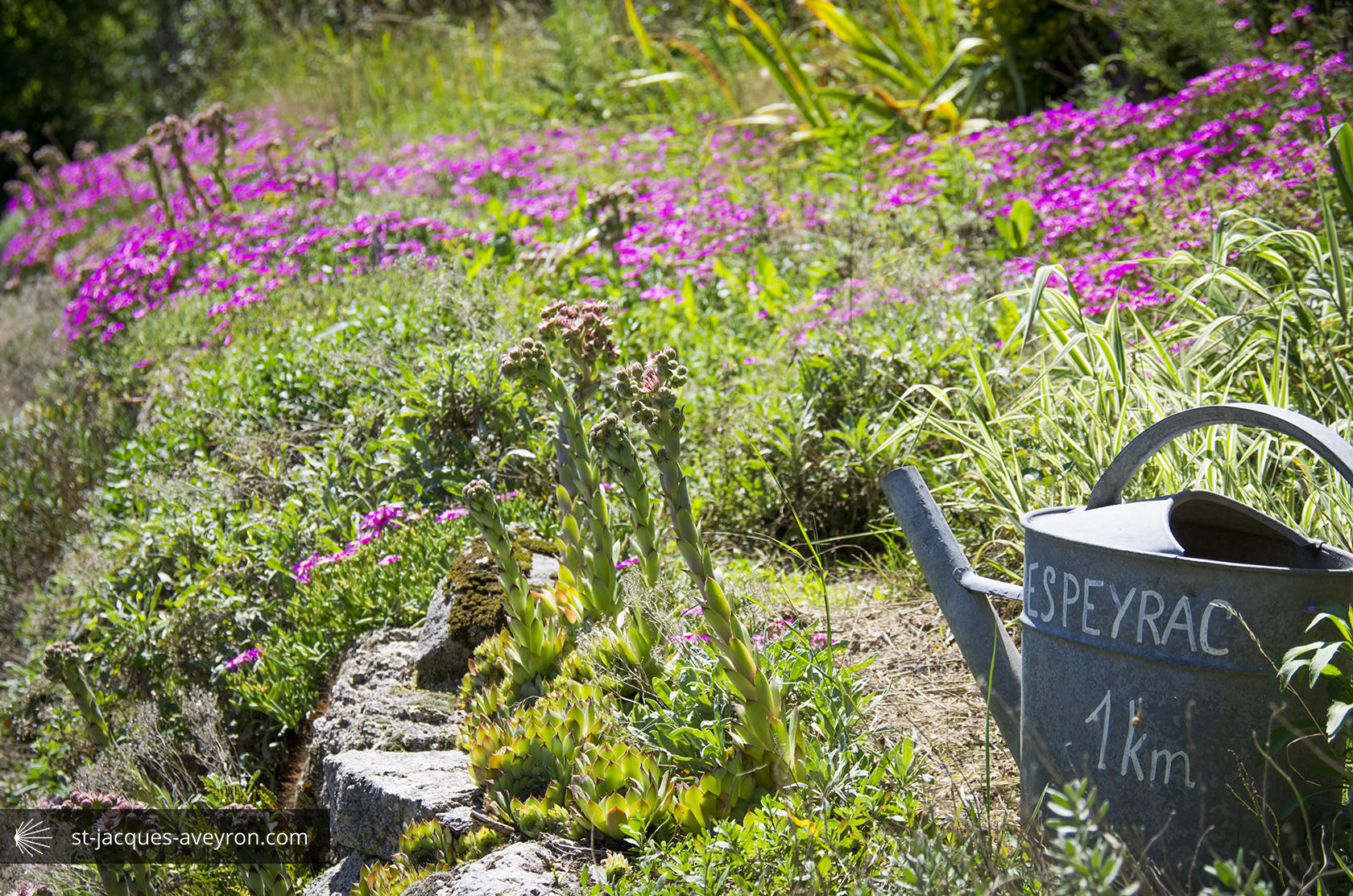
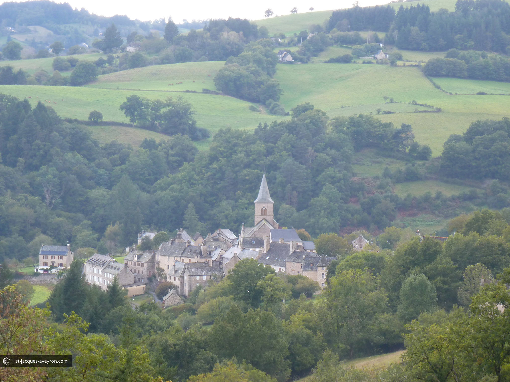
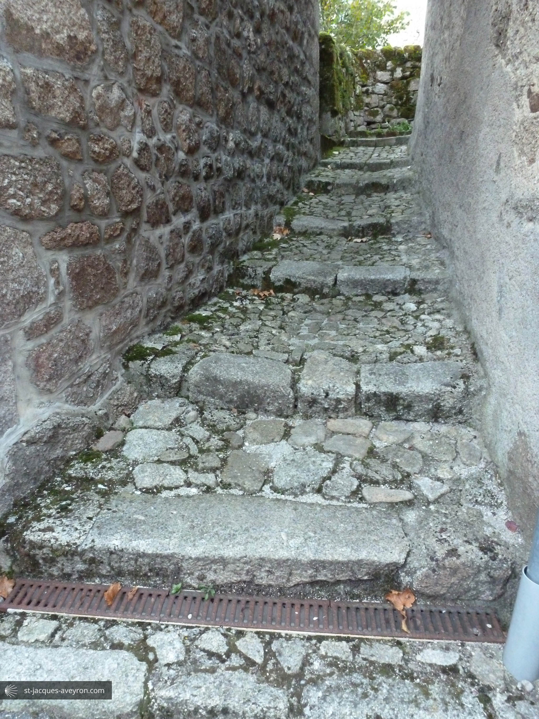
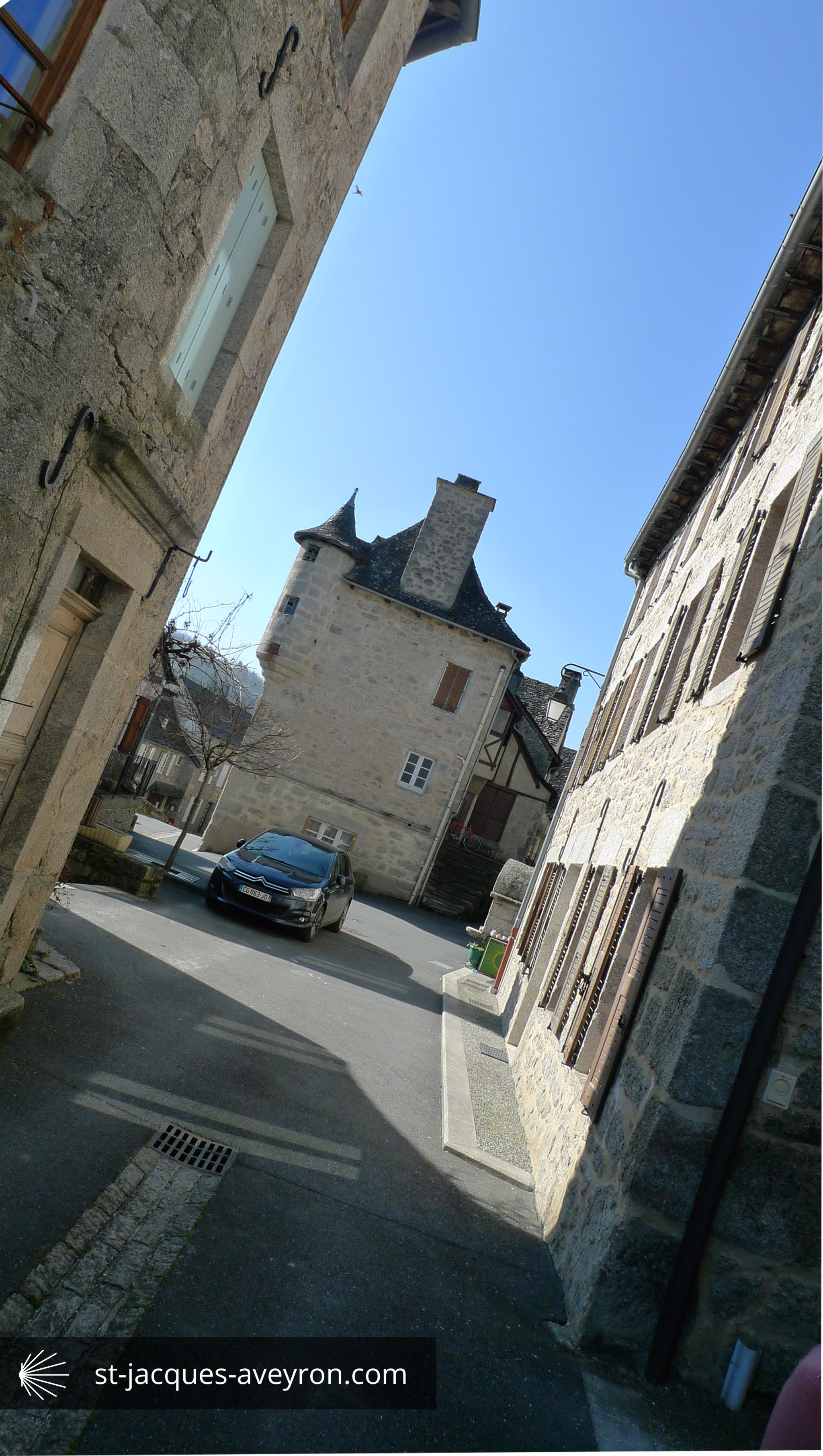
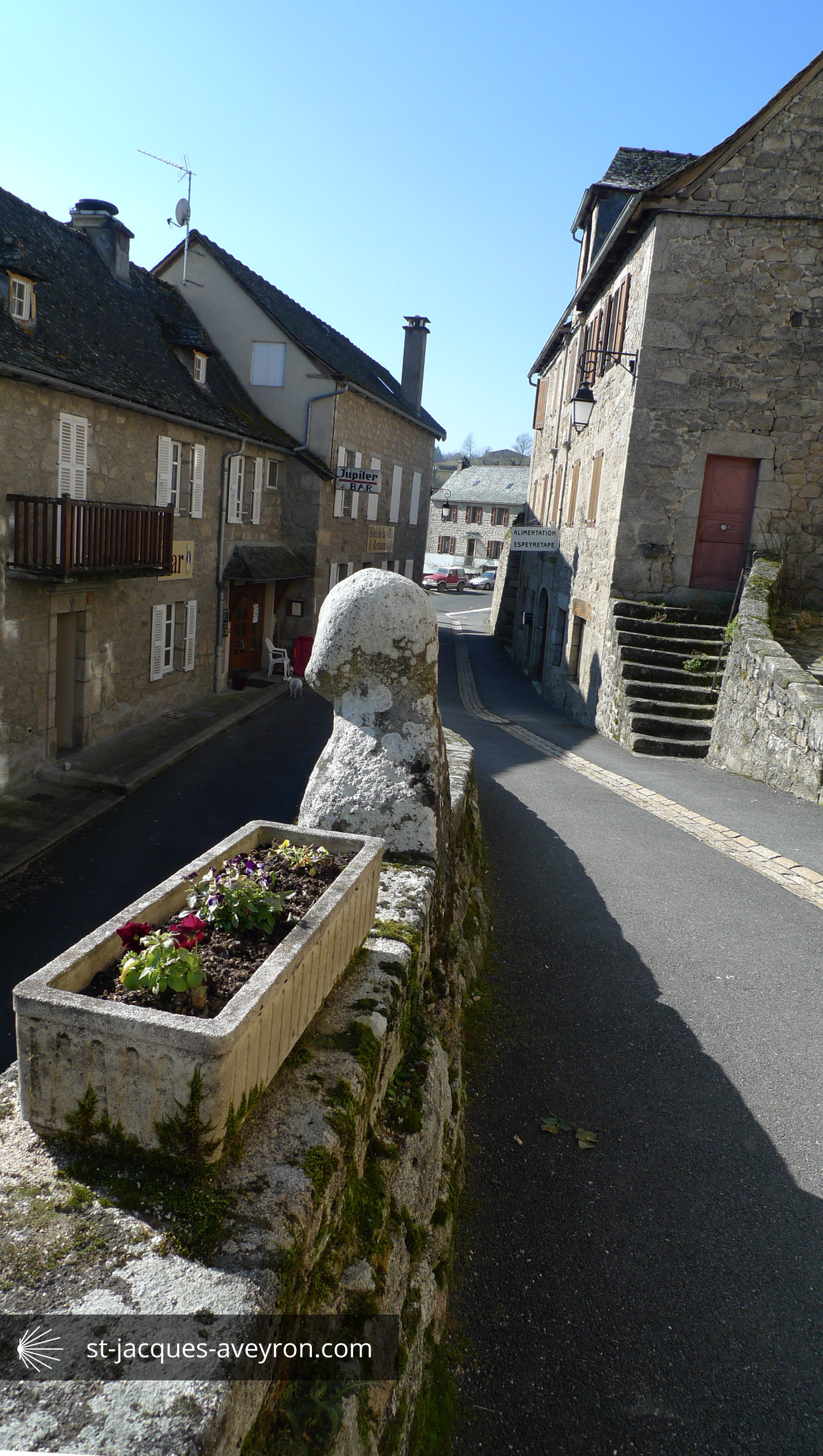
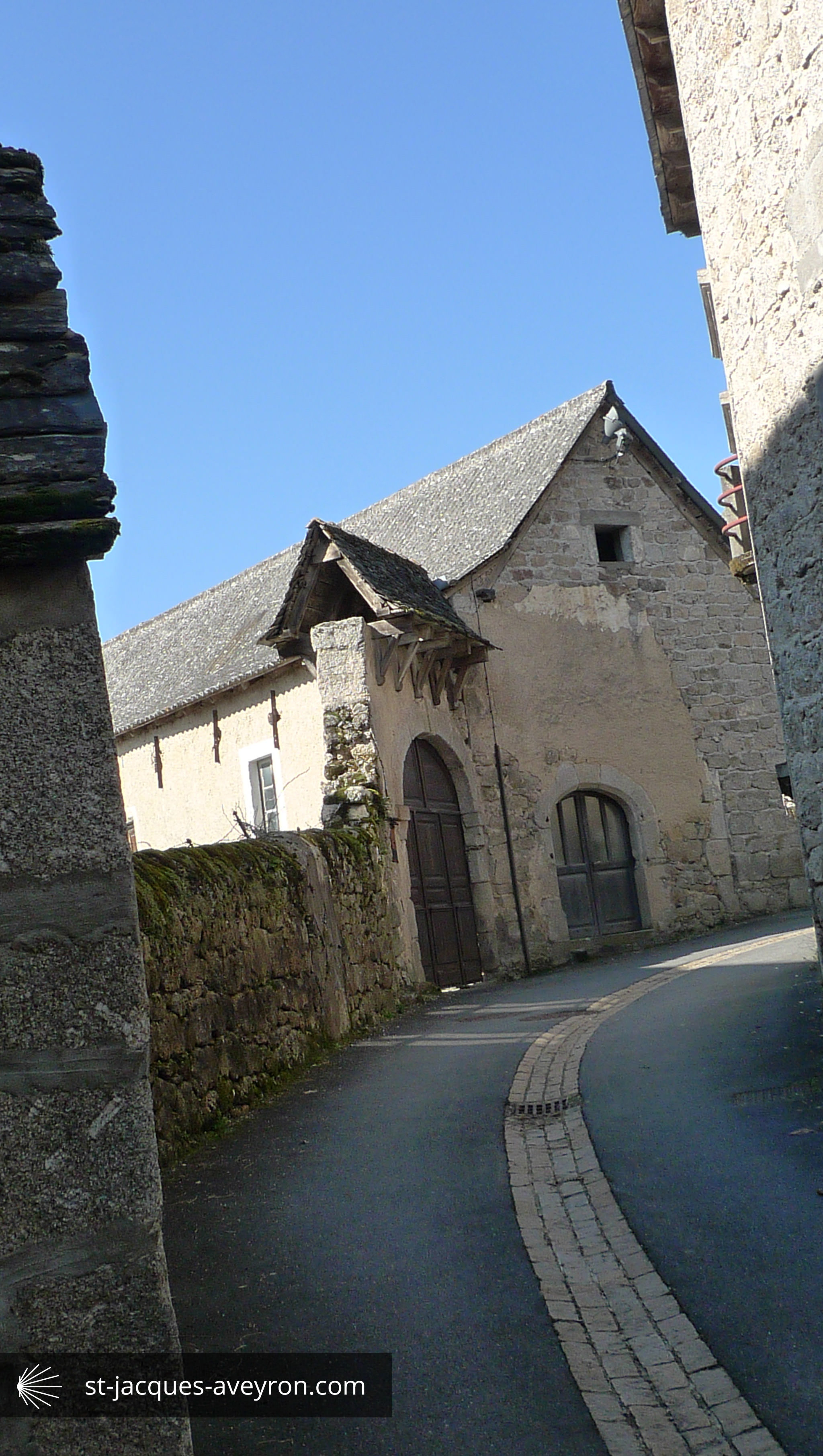
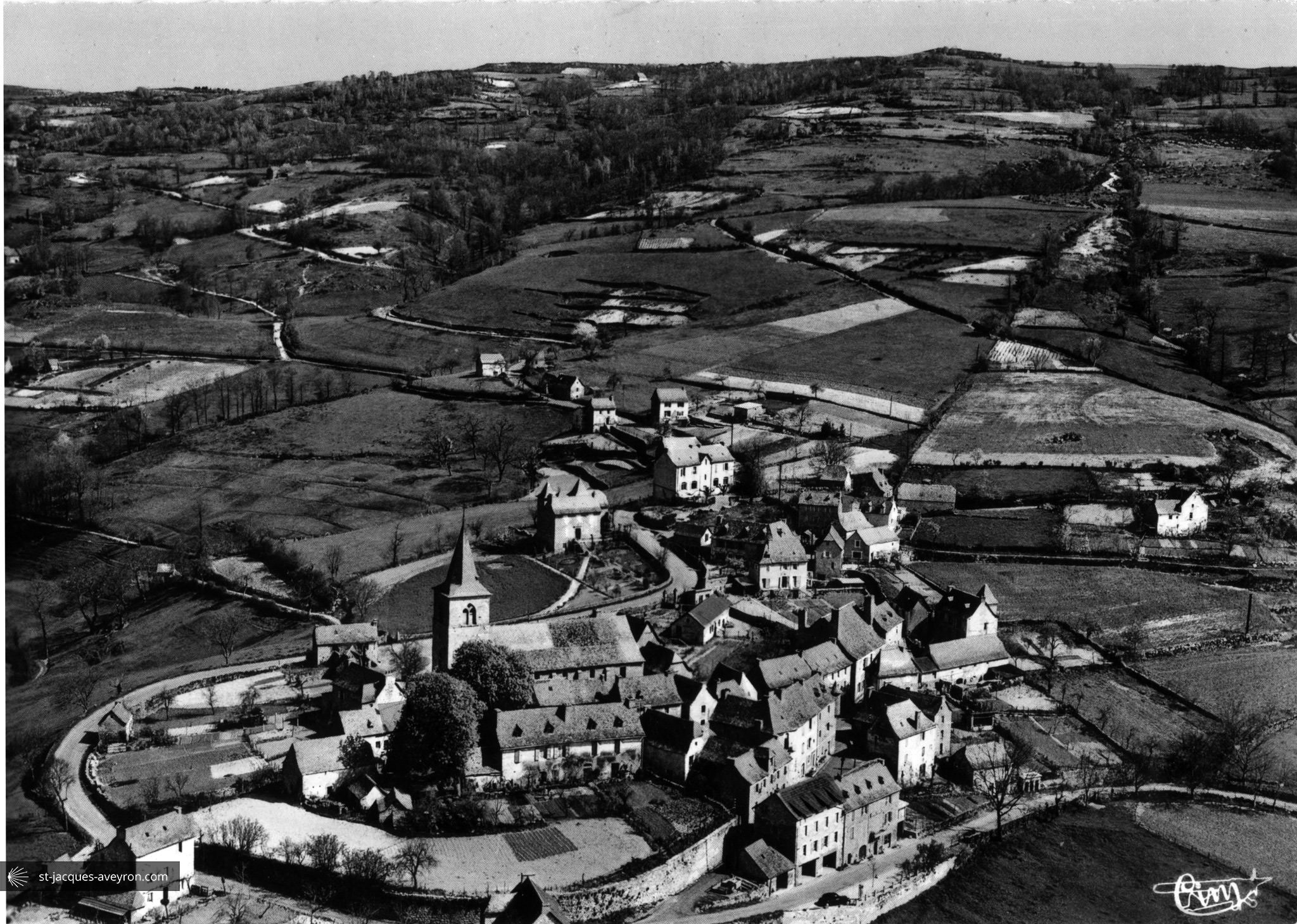
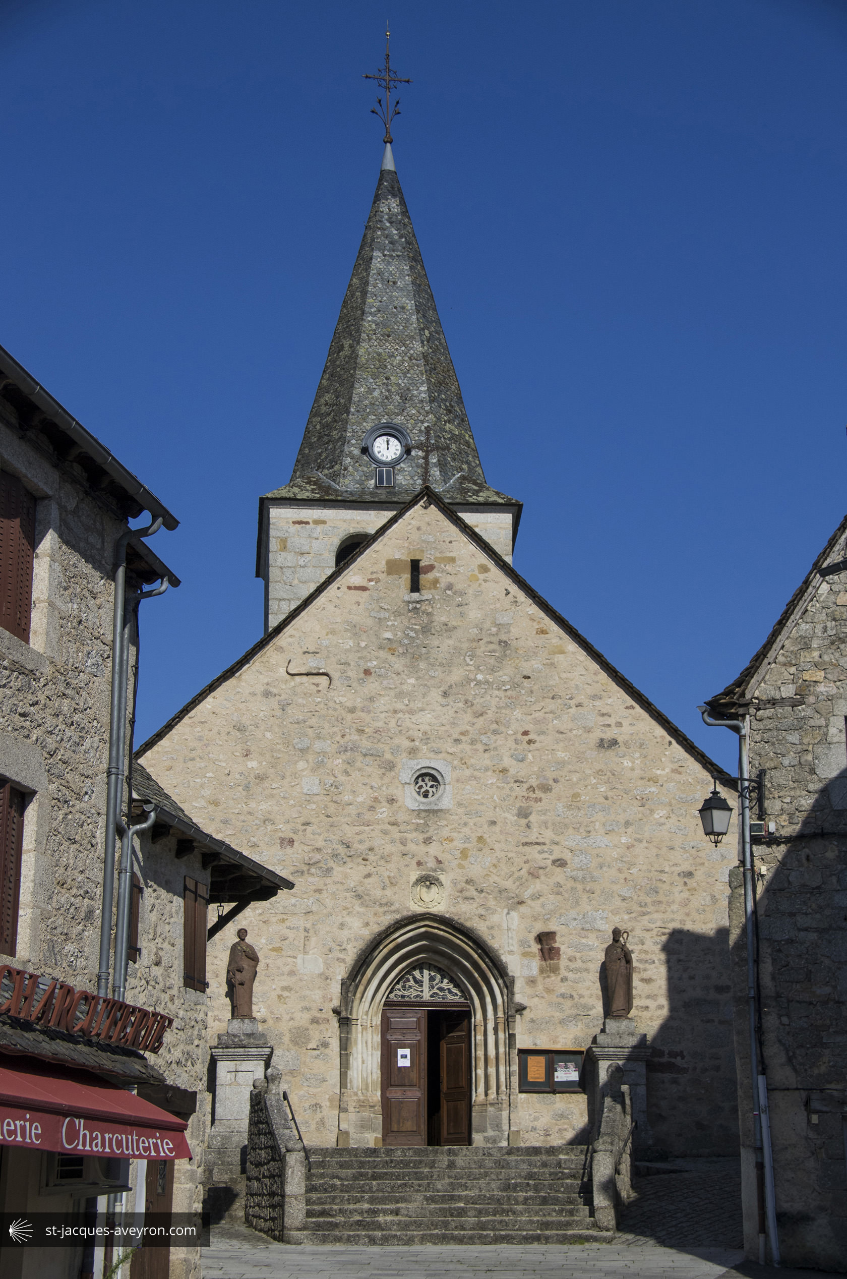
Espeyrac
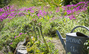
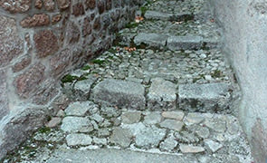
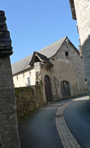
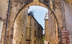
The old Gallo-Roman domain of Spariacus, now called Espeyrac, is mentioned in the 11C in the cartulary of Conques abbey. It was fortified in 1356 and became the seat of an important barony until 1661. The principal remains left of the medieval village are the amphitheatre-style layout on a rocky peak, steeply sloped streets and alleyways with steps.
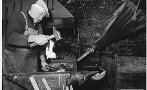
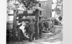
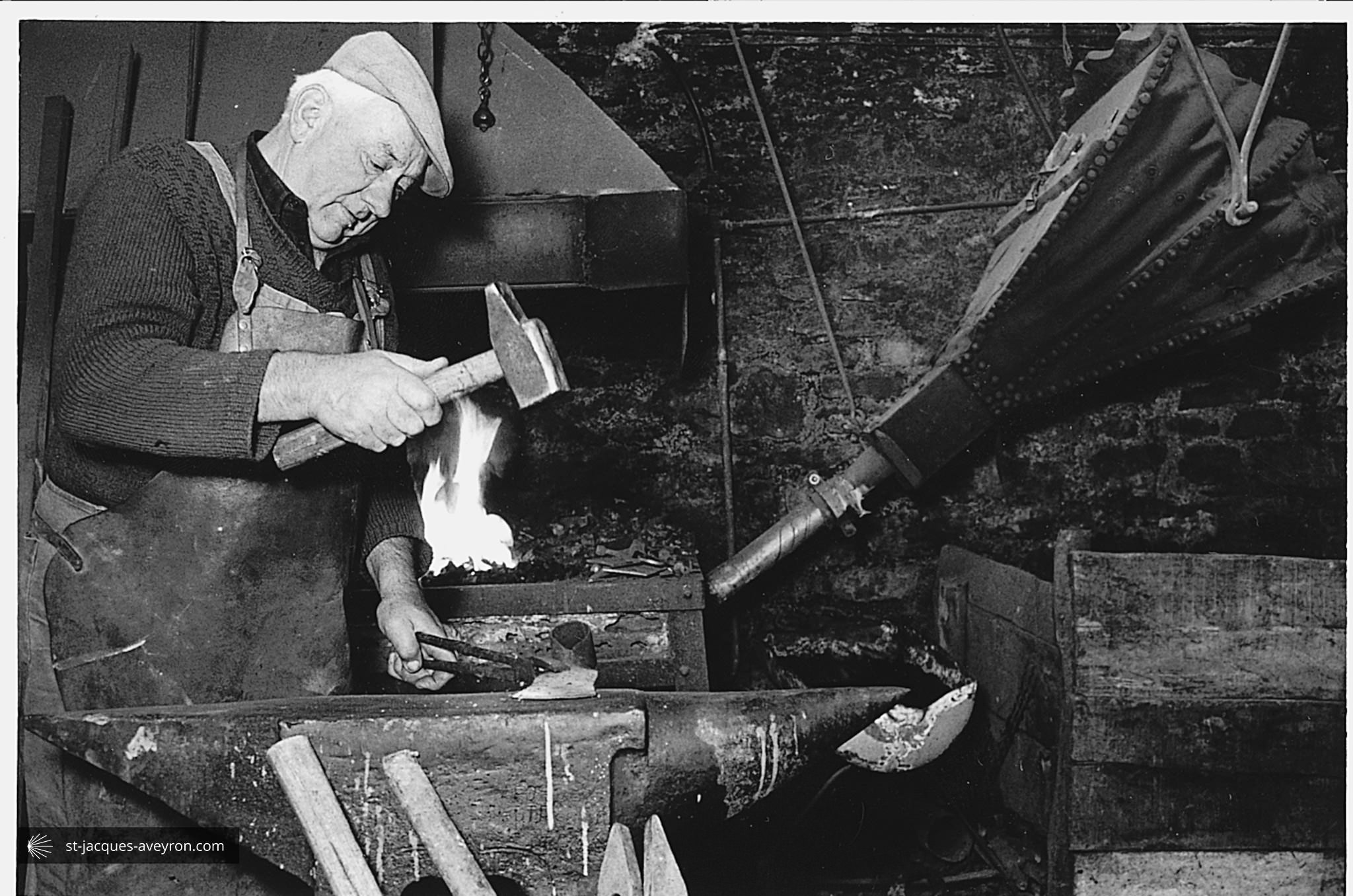
At the end of the 19C, Espeyrac boasted up to five fairs a year. Prior to 1914, there were three blacksmiths, a weaver, two seamstresses/milliners, a haberdasher, an inn keeper, a cobbler, a clog-maker/barber/hairdresser, tilers and more; the hustle and bustle was in complete contrast with the peacefulness of today.

Pays d’Entraygues sur Truyère Tourist Office
Place de la république - F - 12140 Entraygues-sur-Truyère
Tel. +33 (0)5 65 44 56 10
Email : infos@tourisme-entraygues.com
Web : www.tourisme-entraygues.com
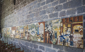
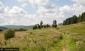
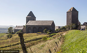
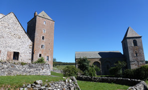
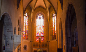
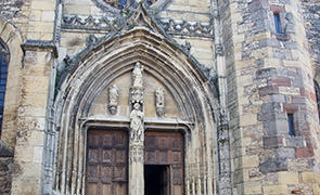
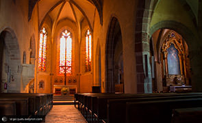
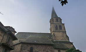
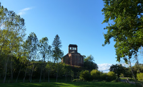
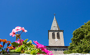
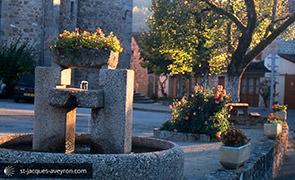
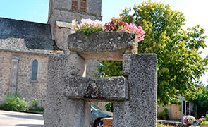
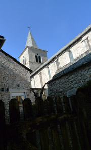
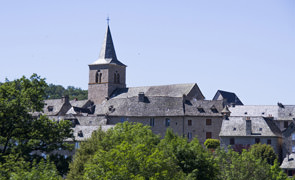
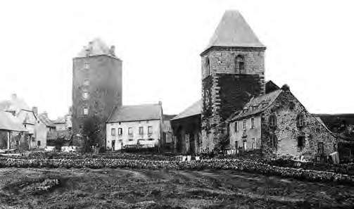
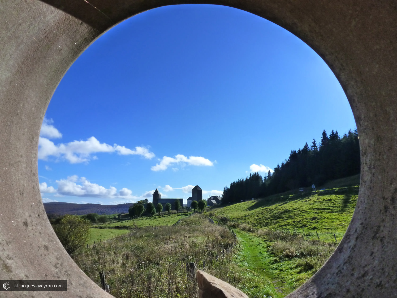
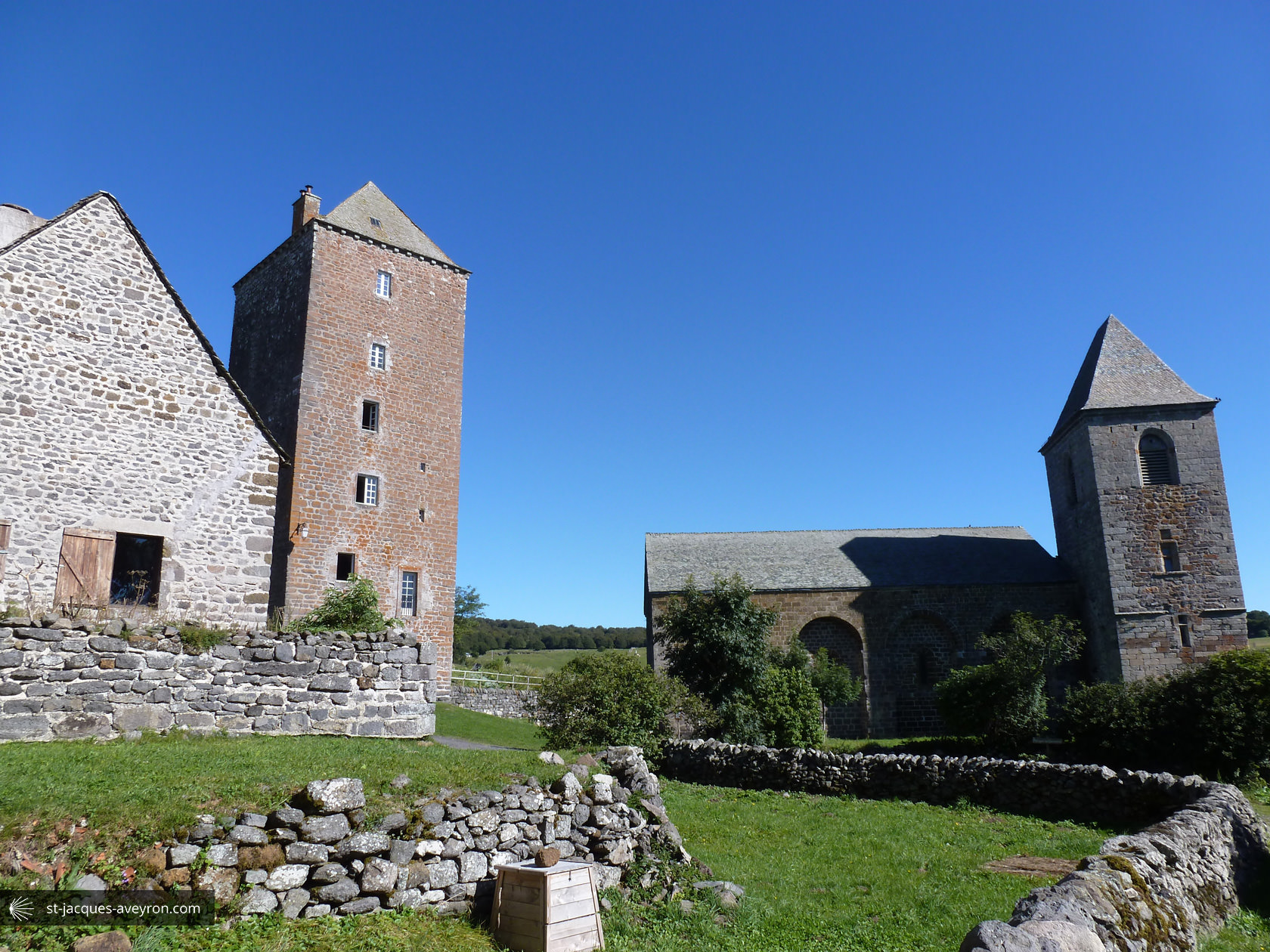
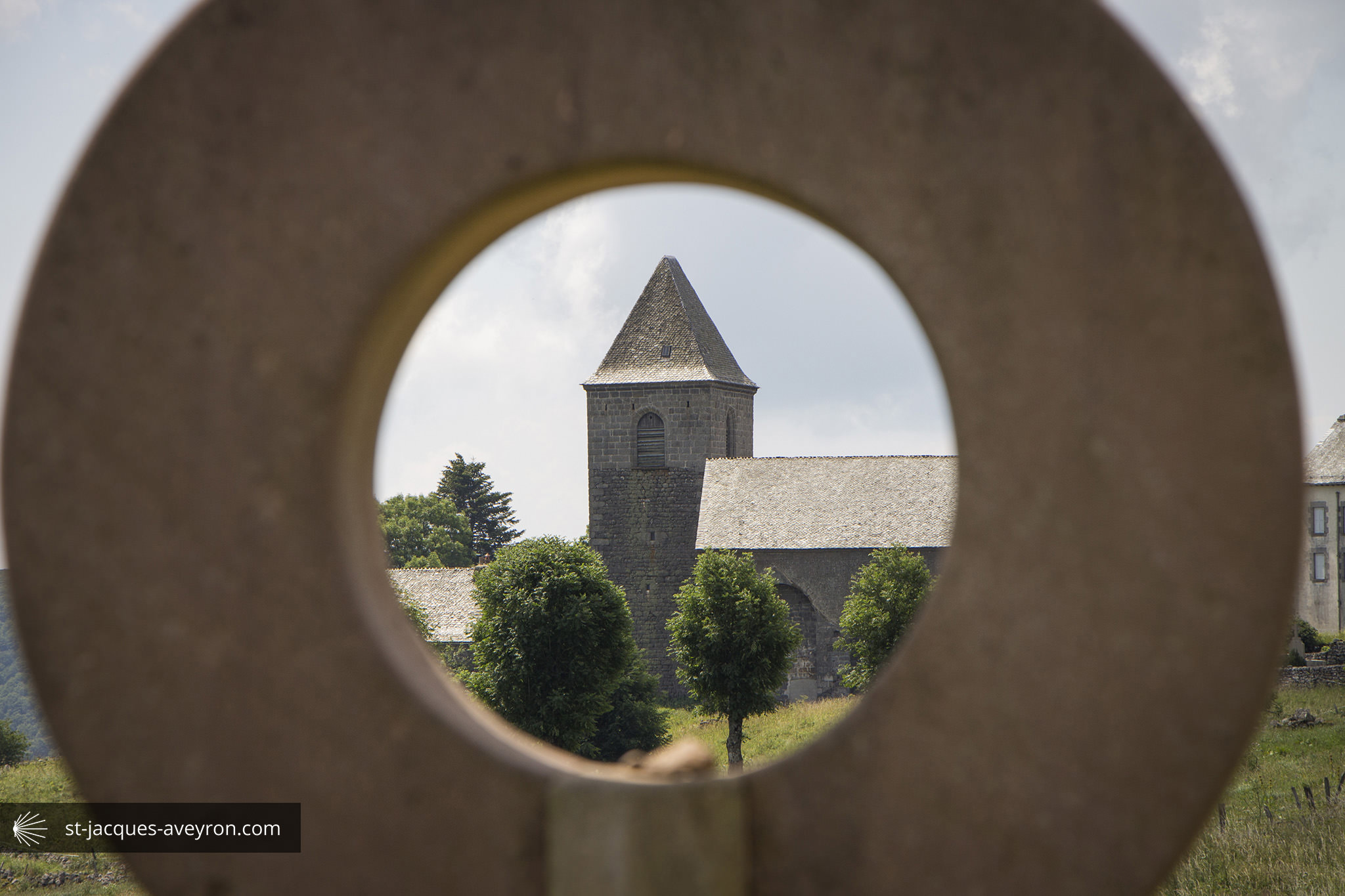
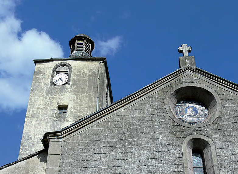
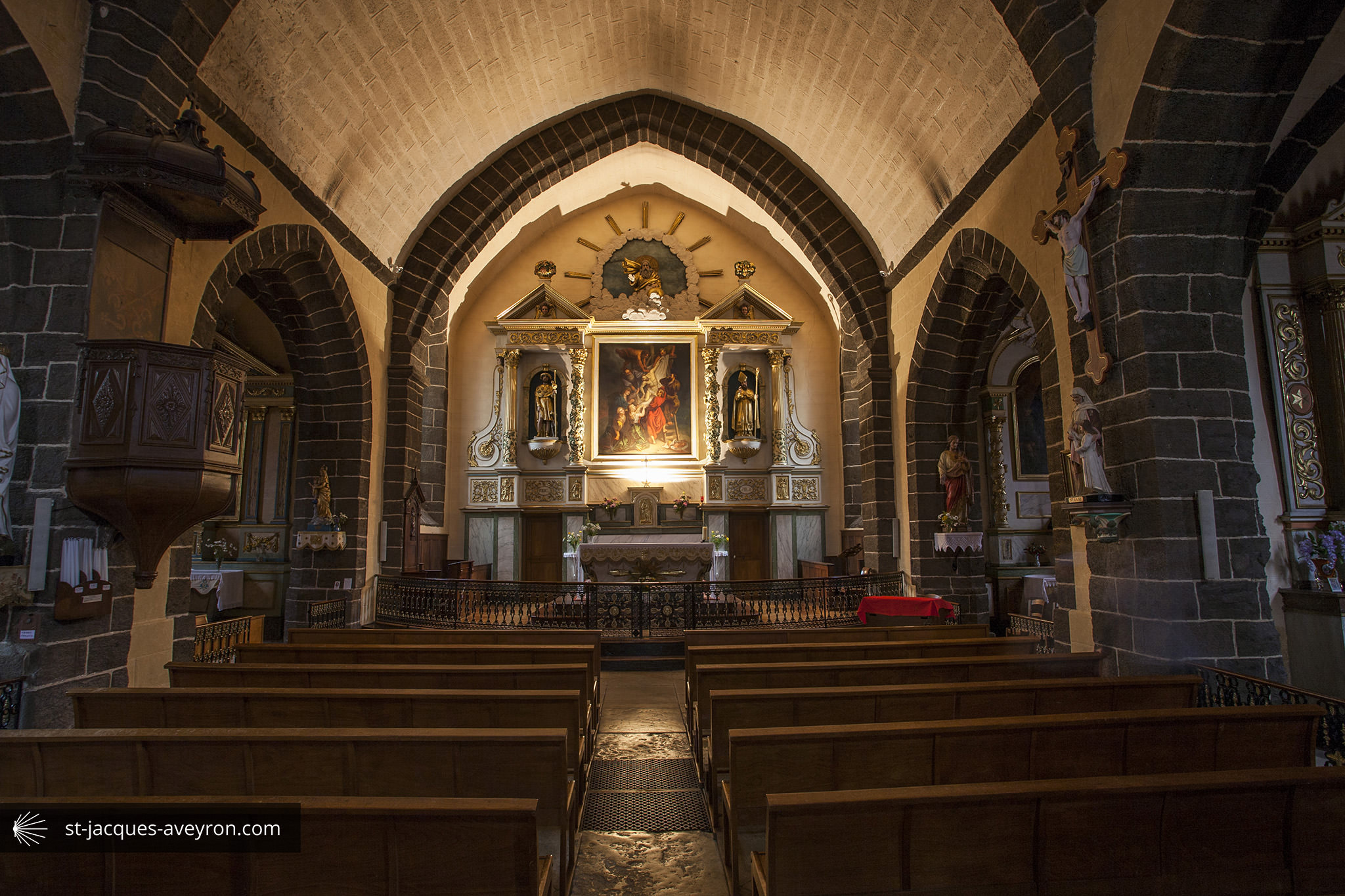
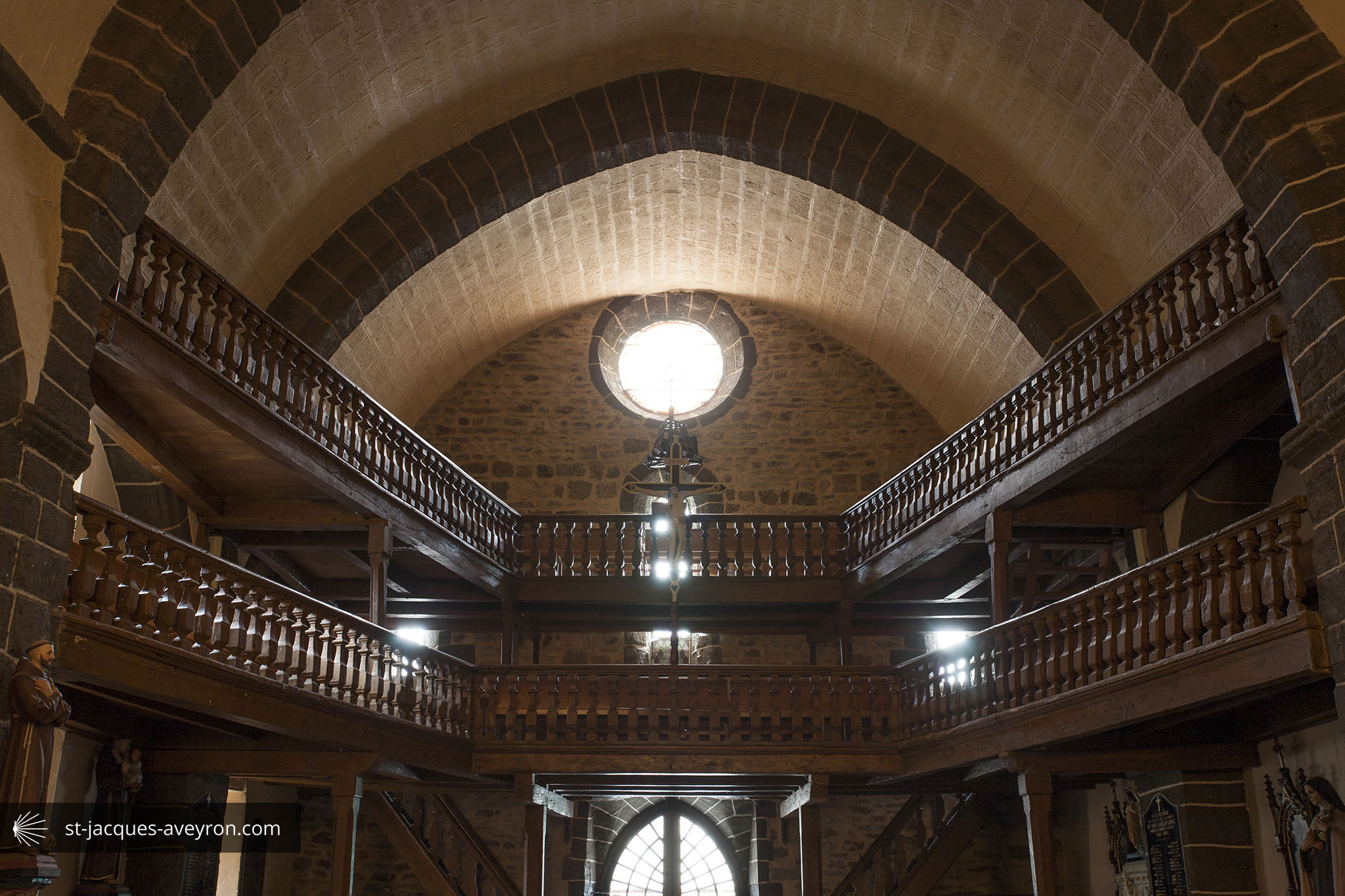
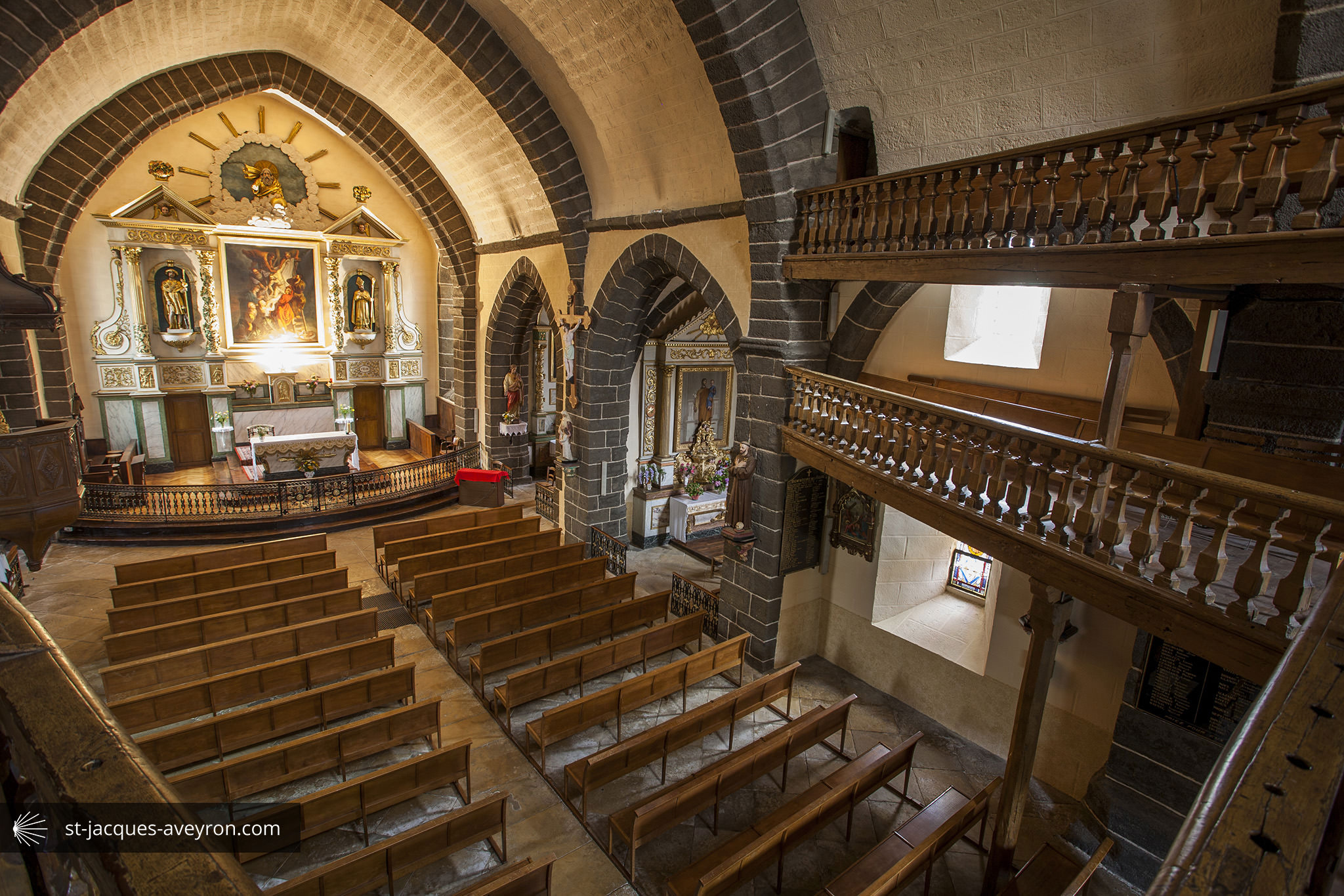
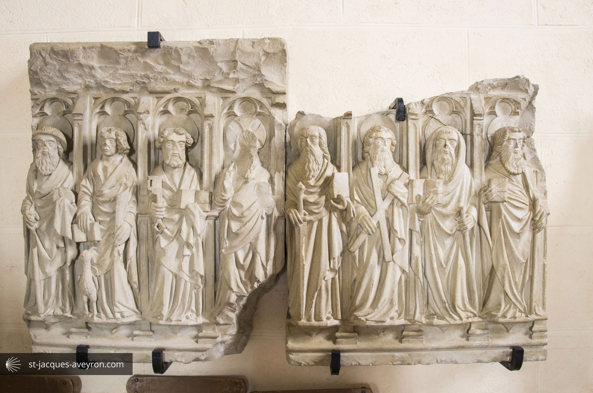
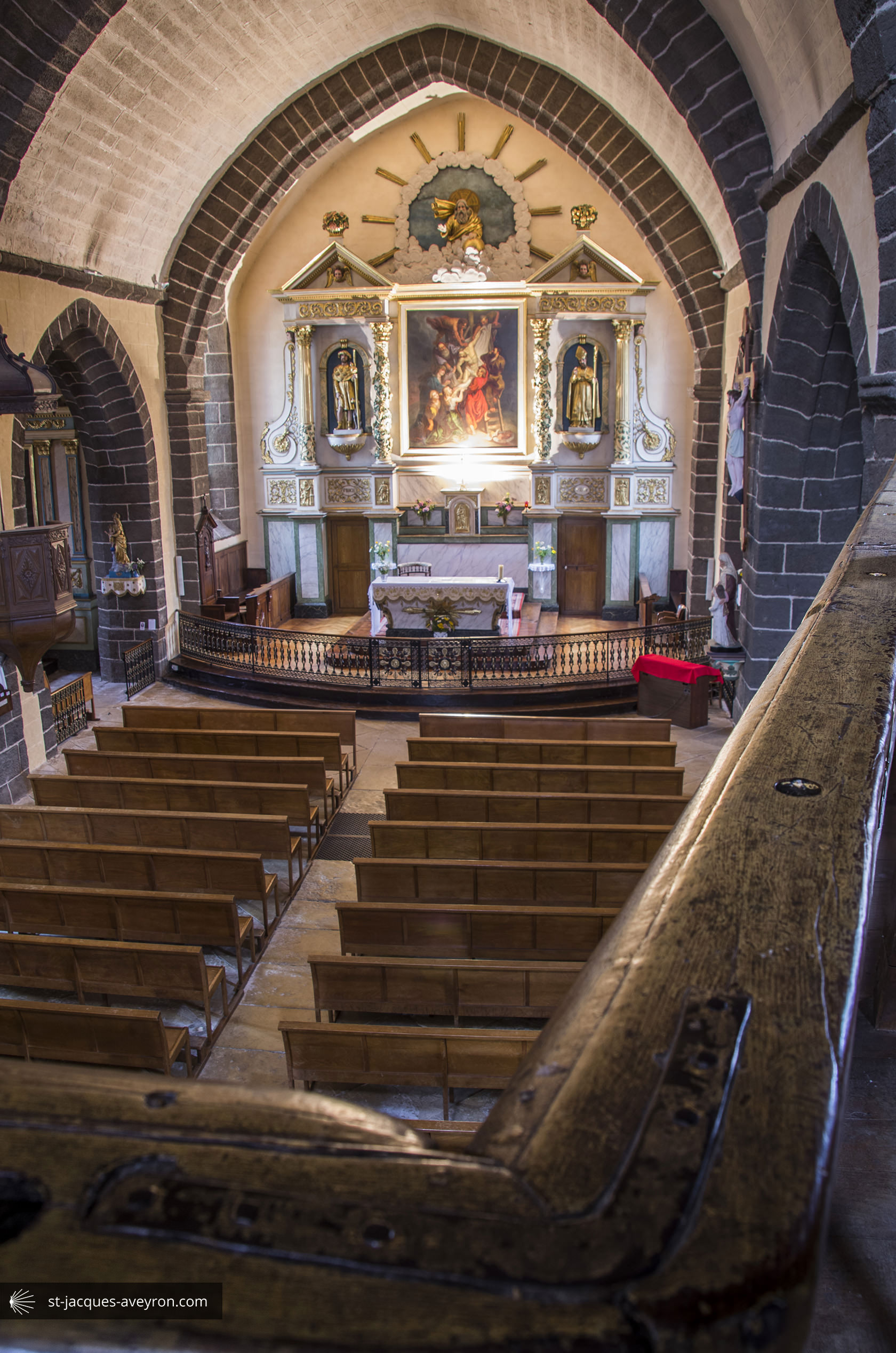
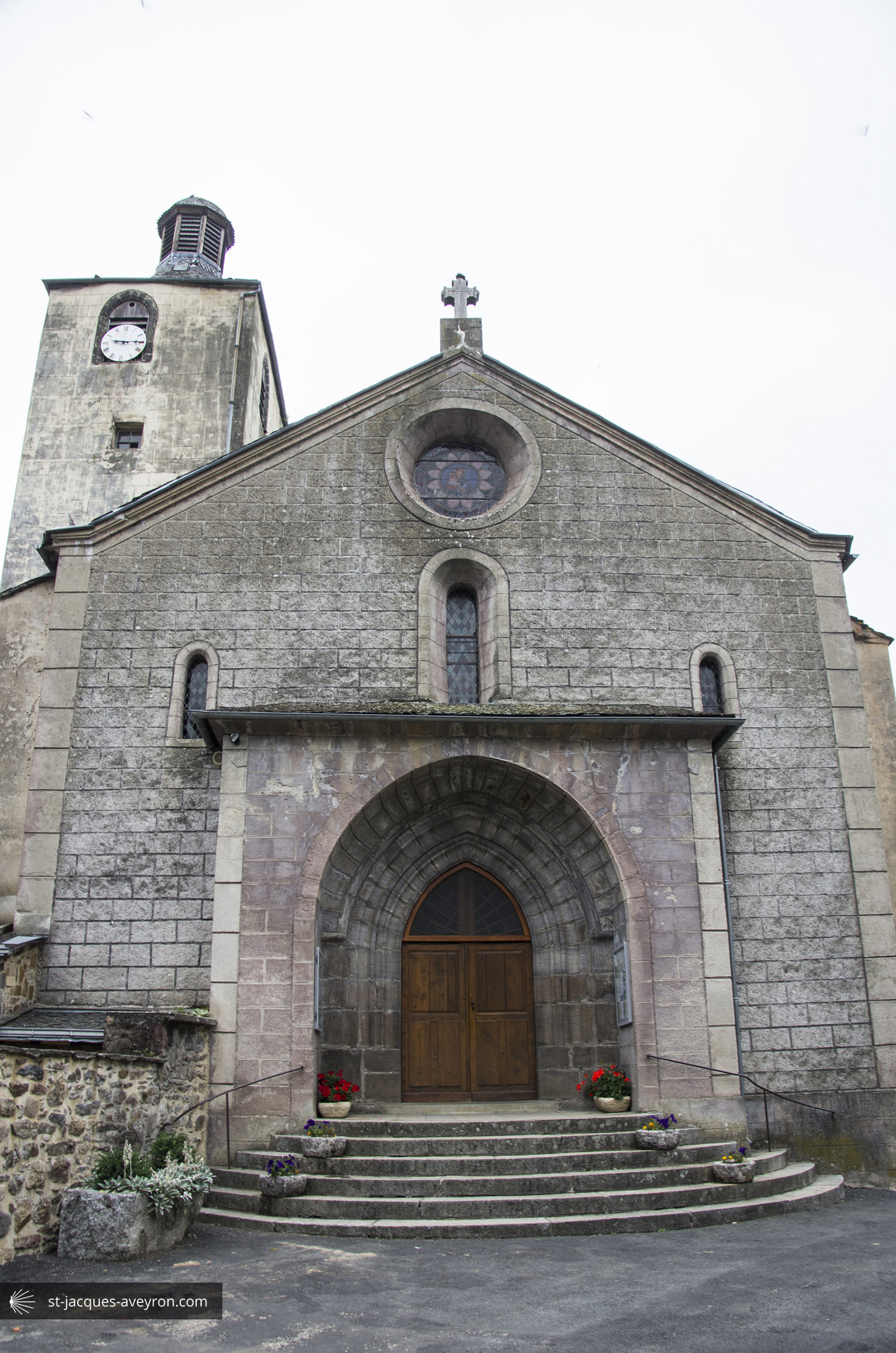
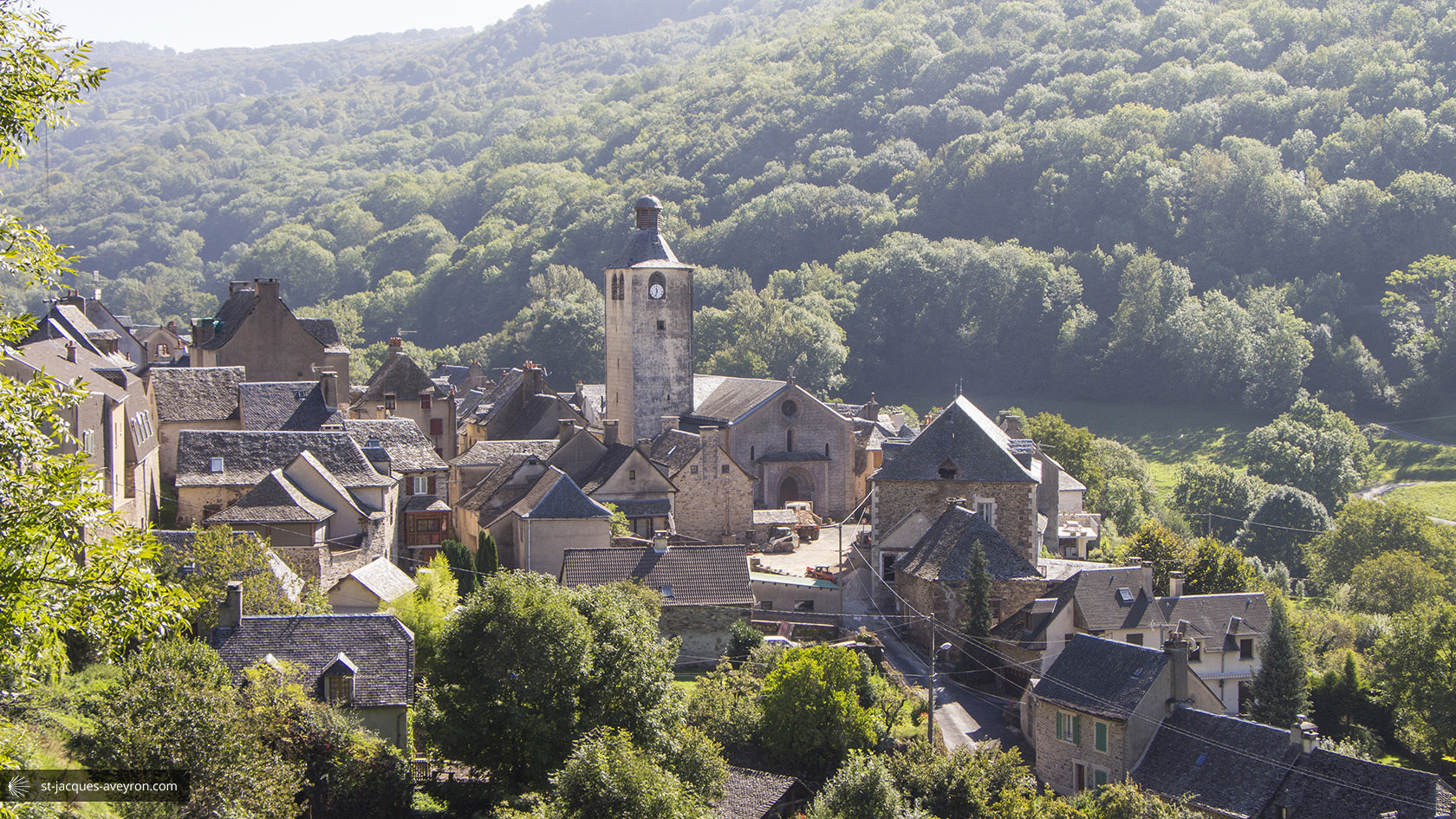
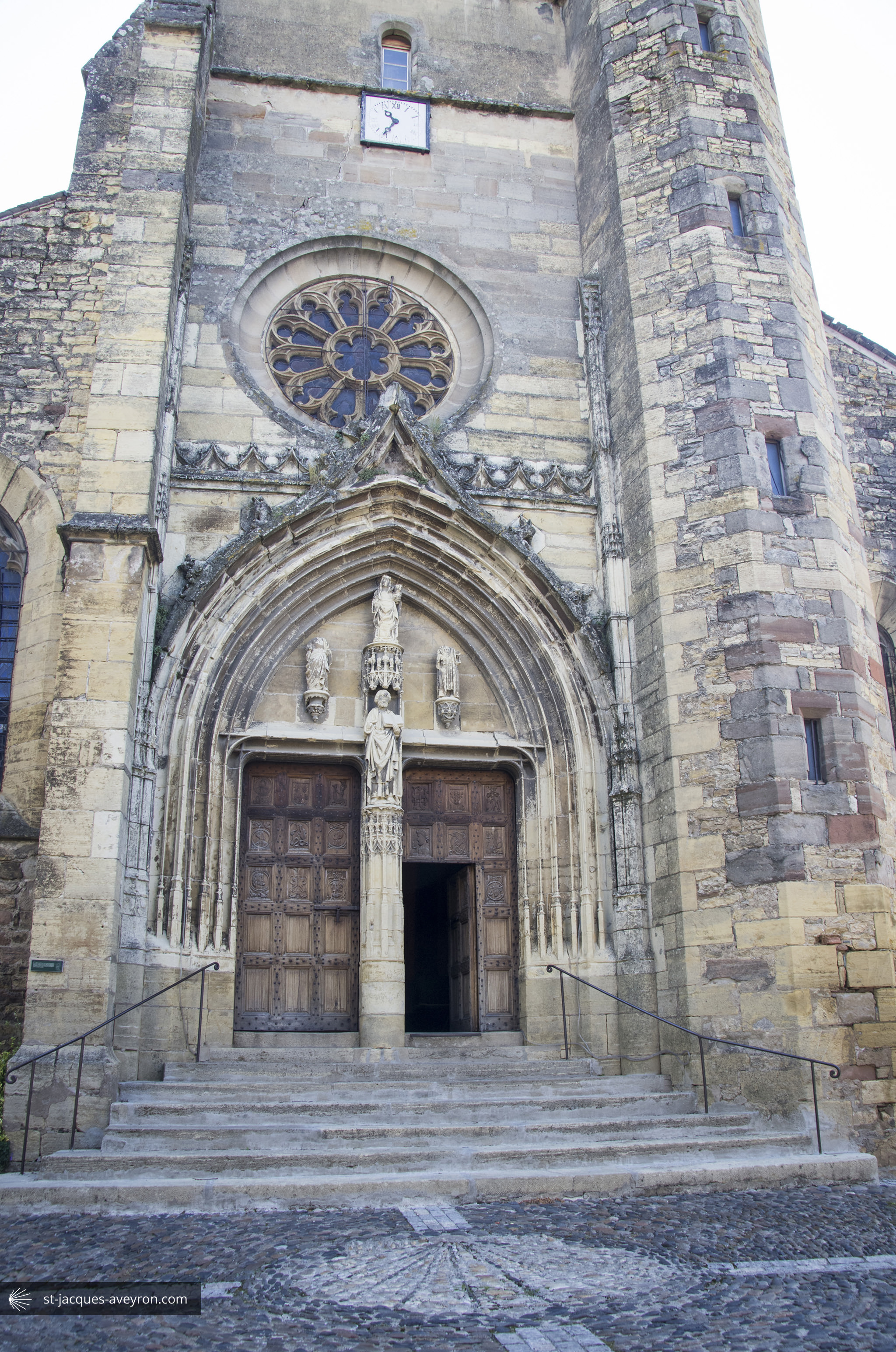
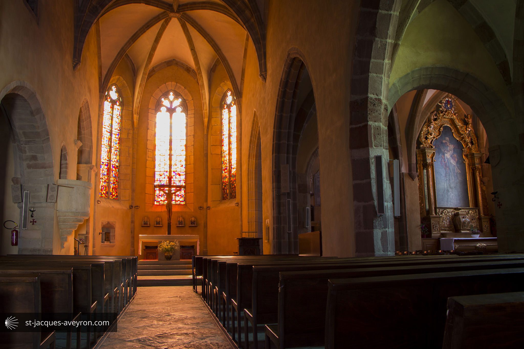
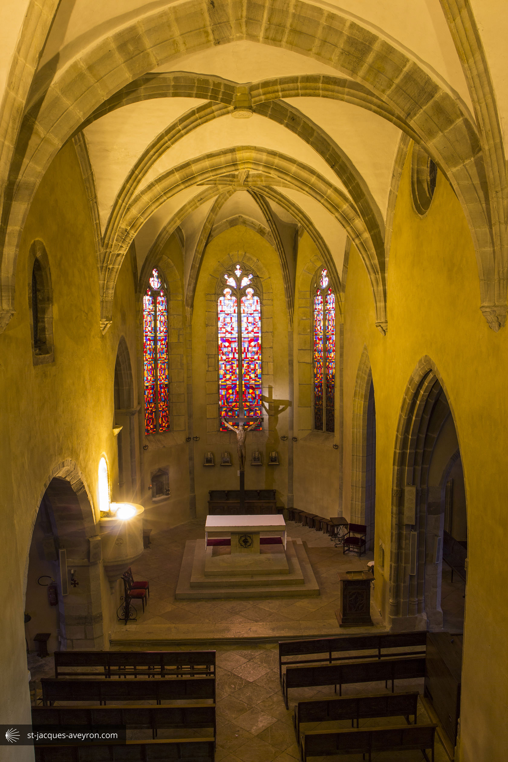
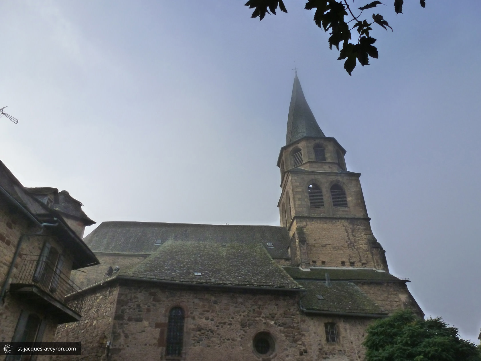
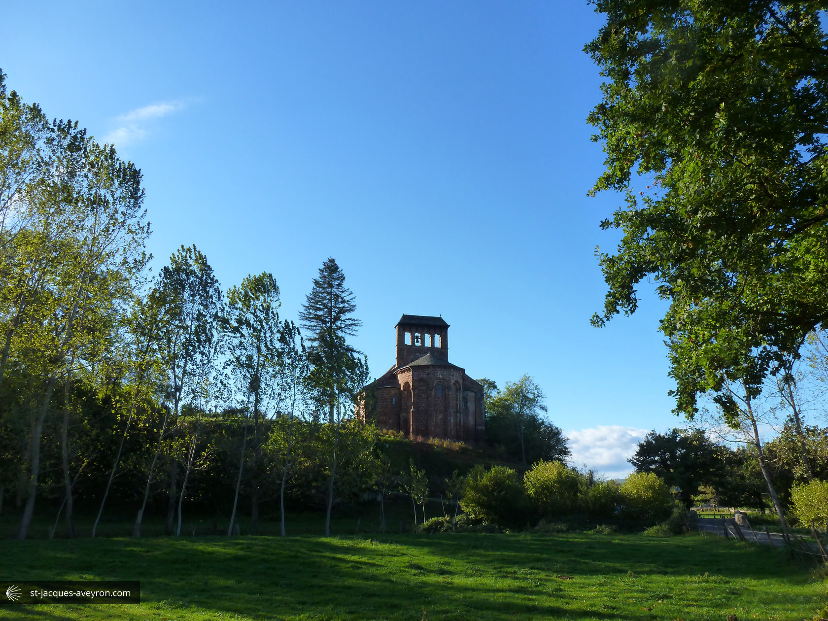
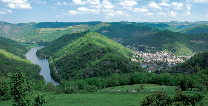
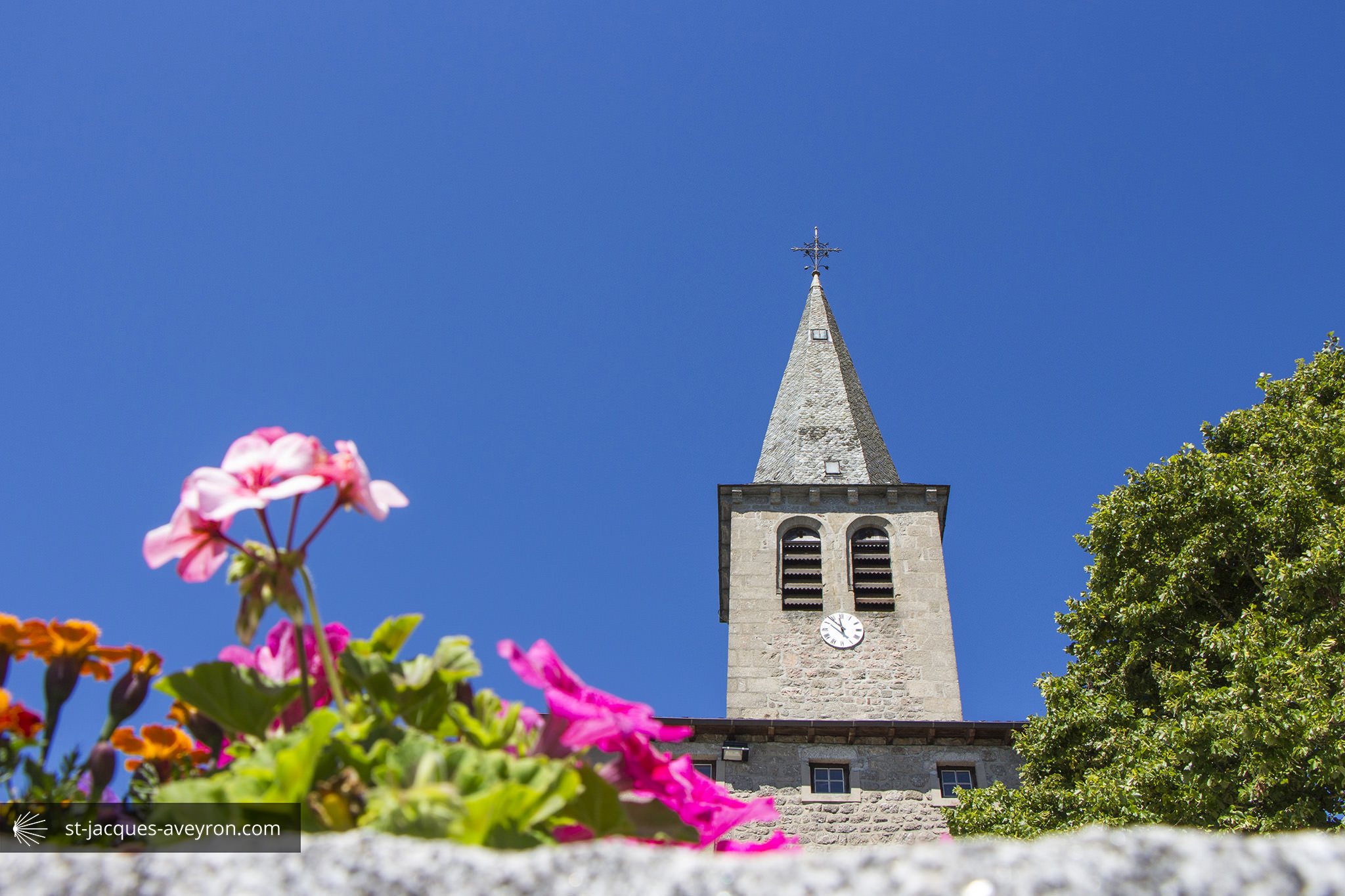
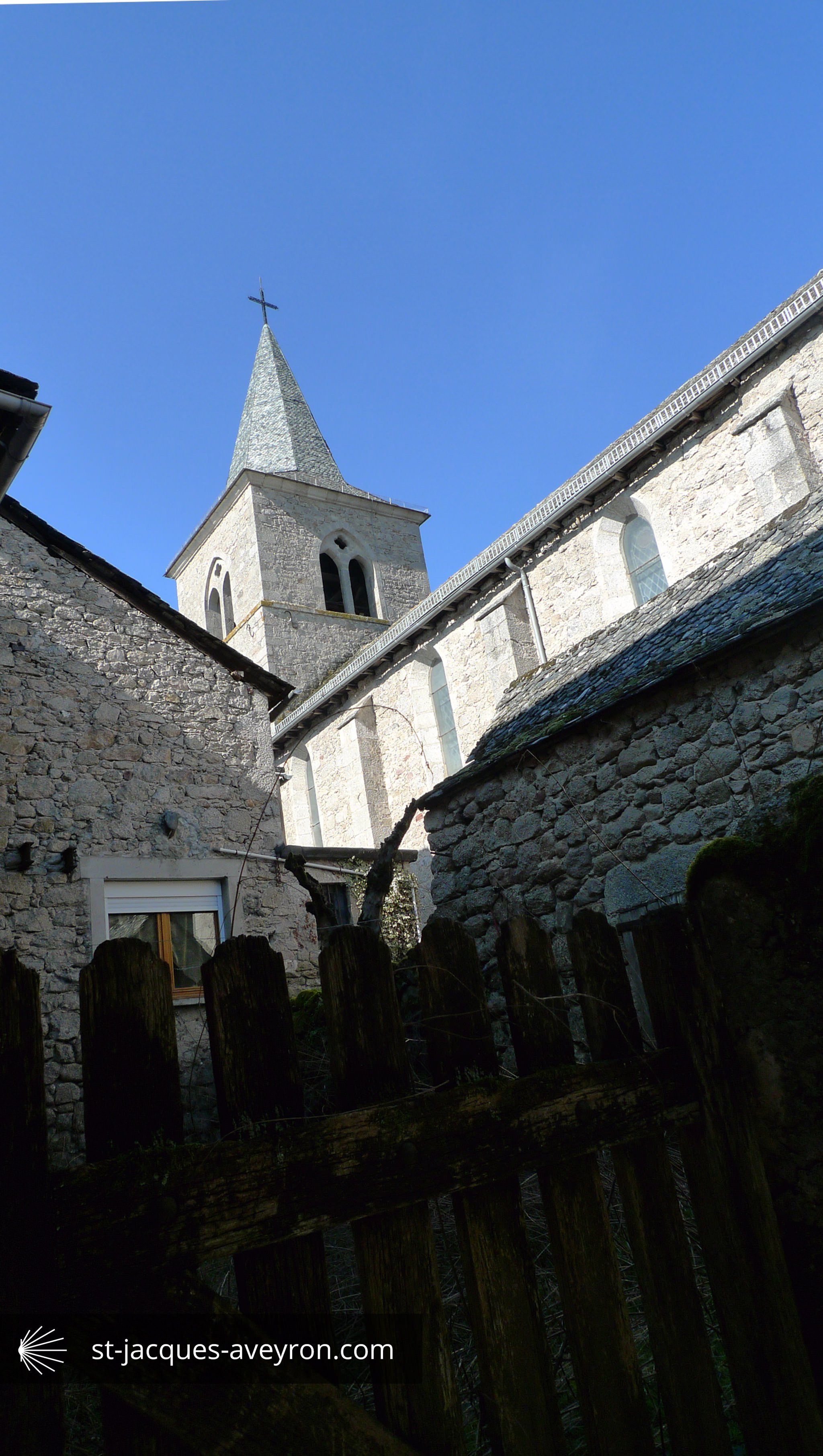
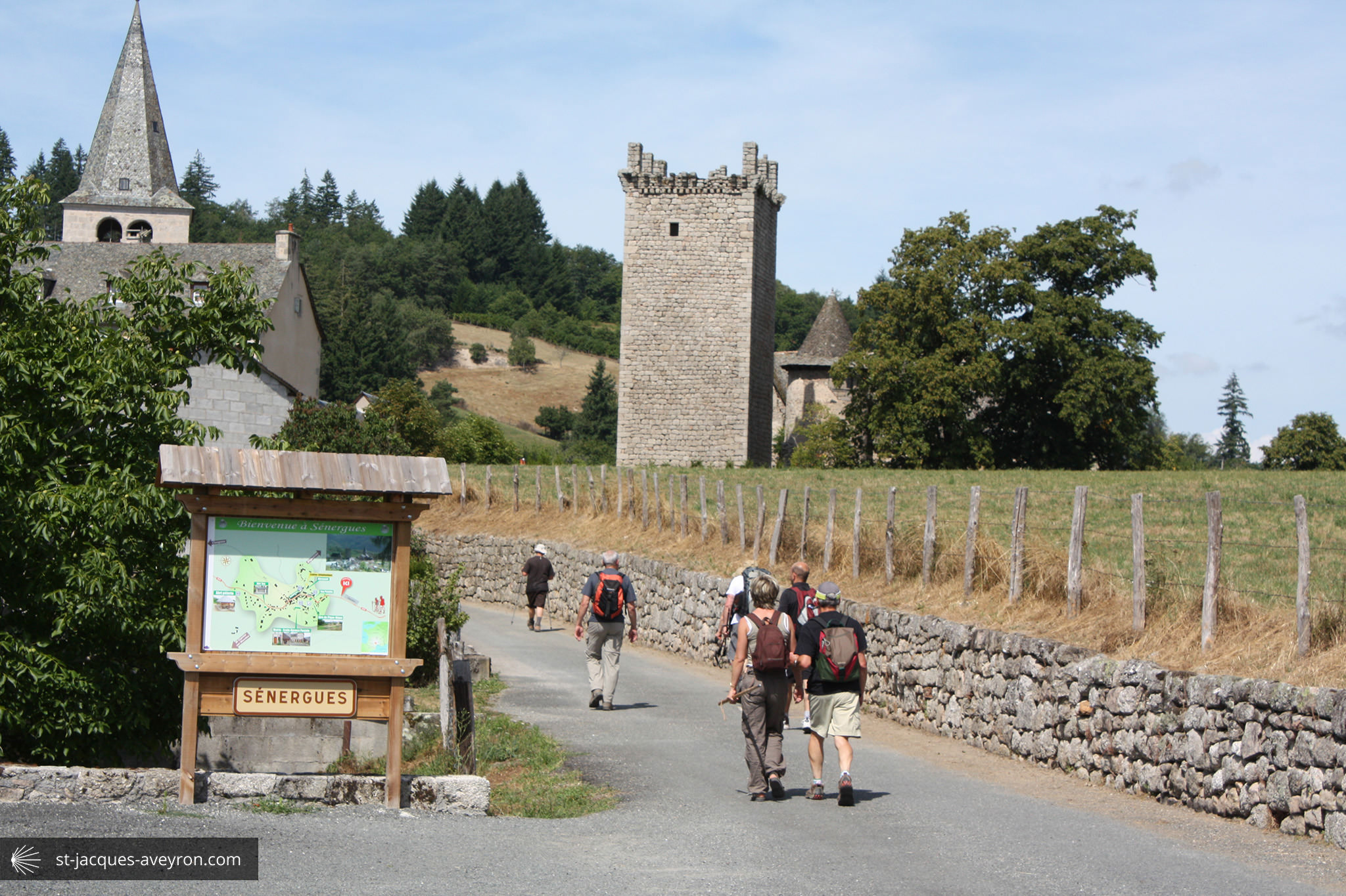
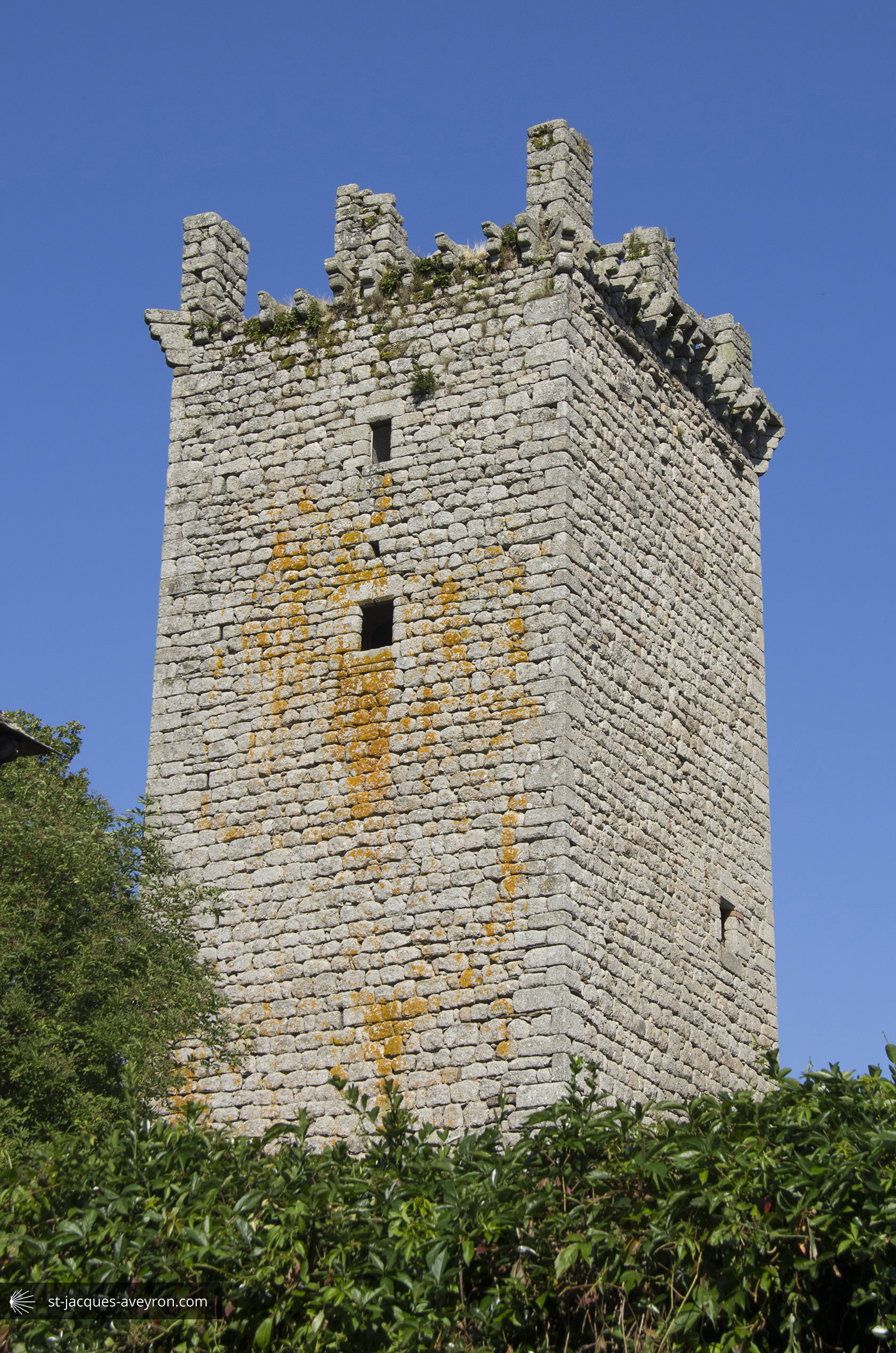
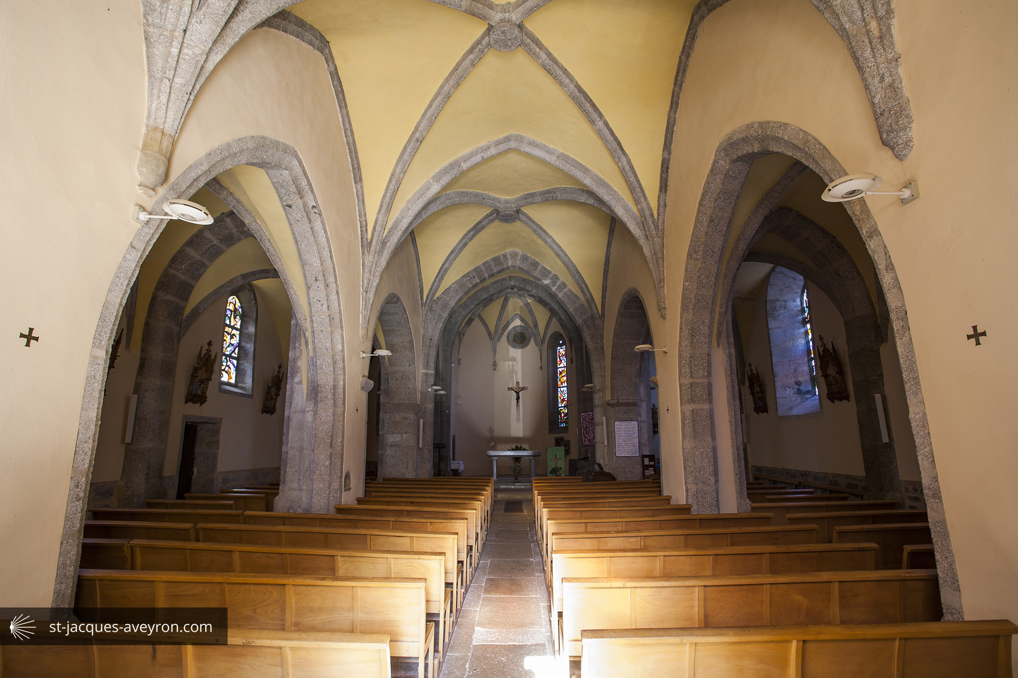
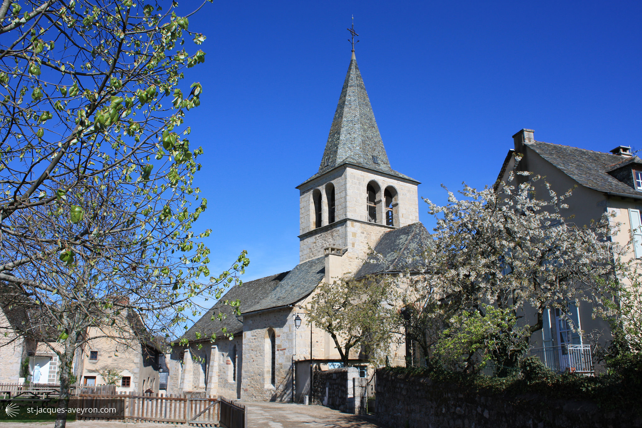
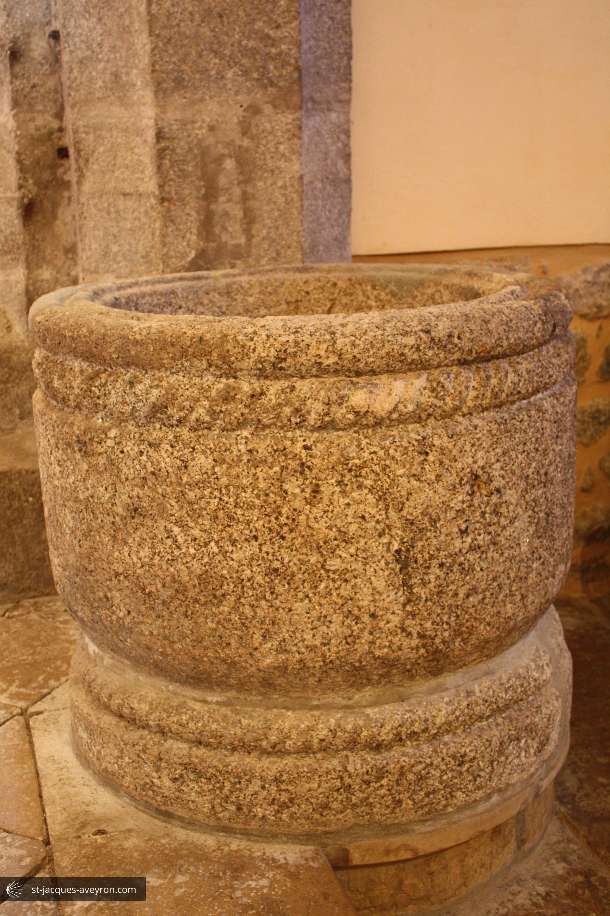
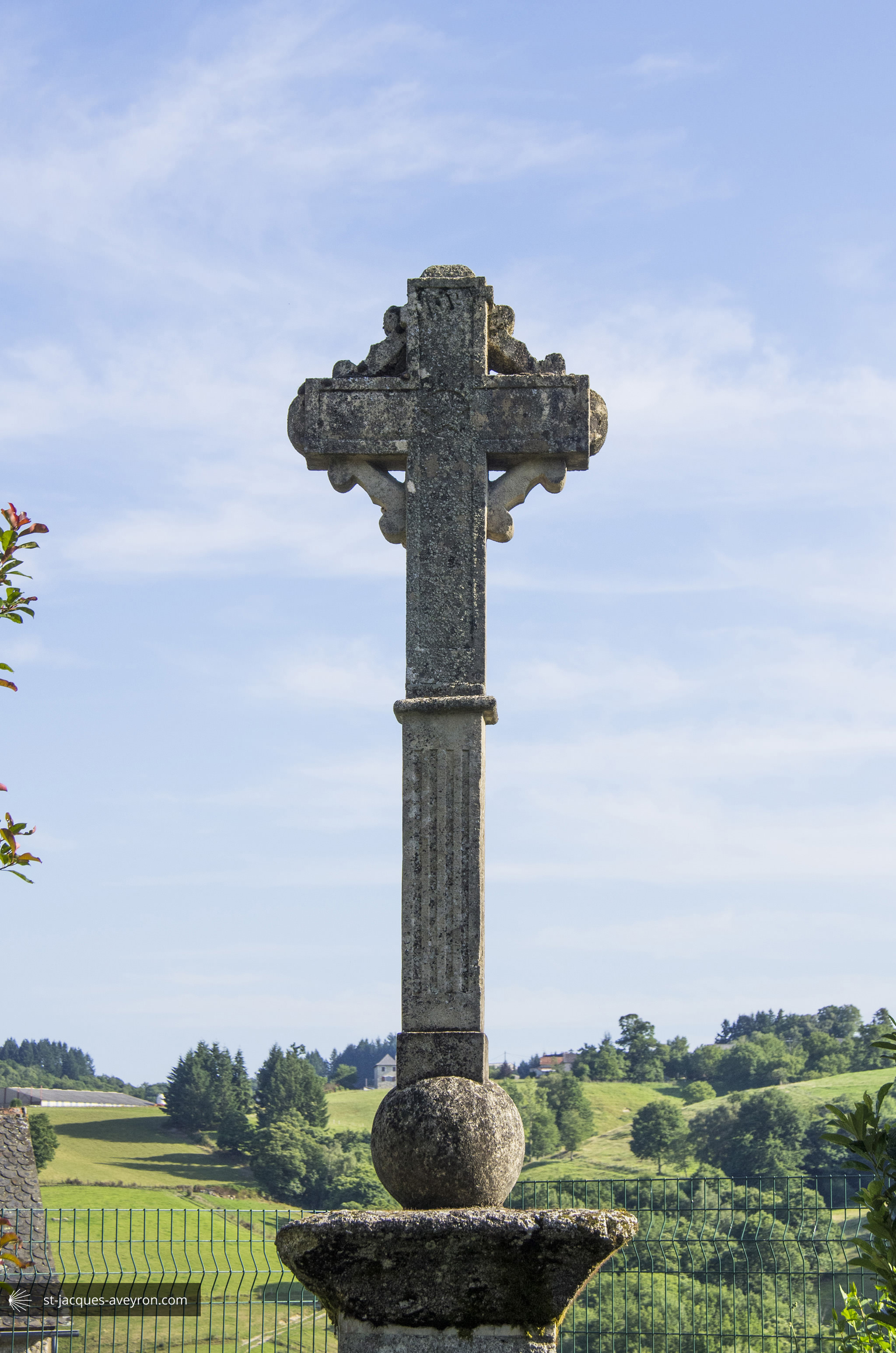
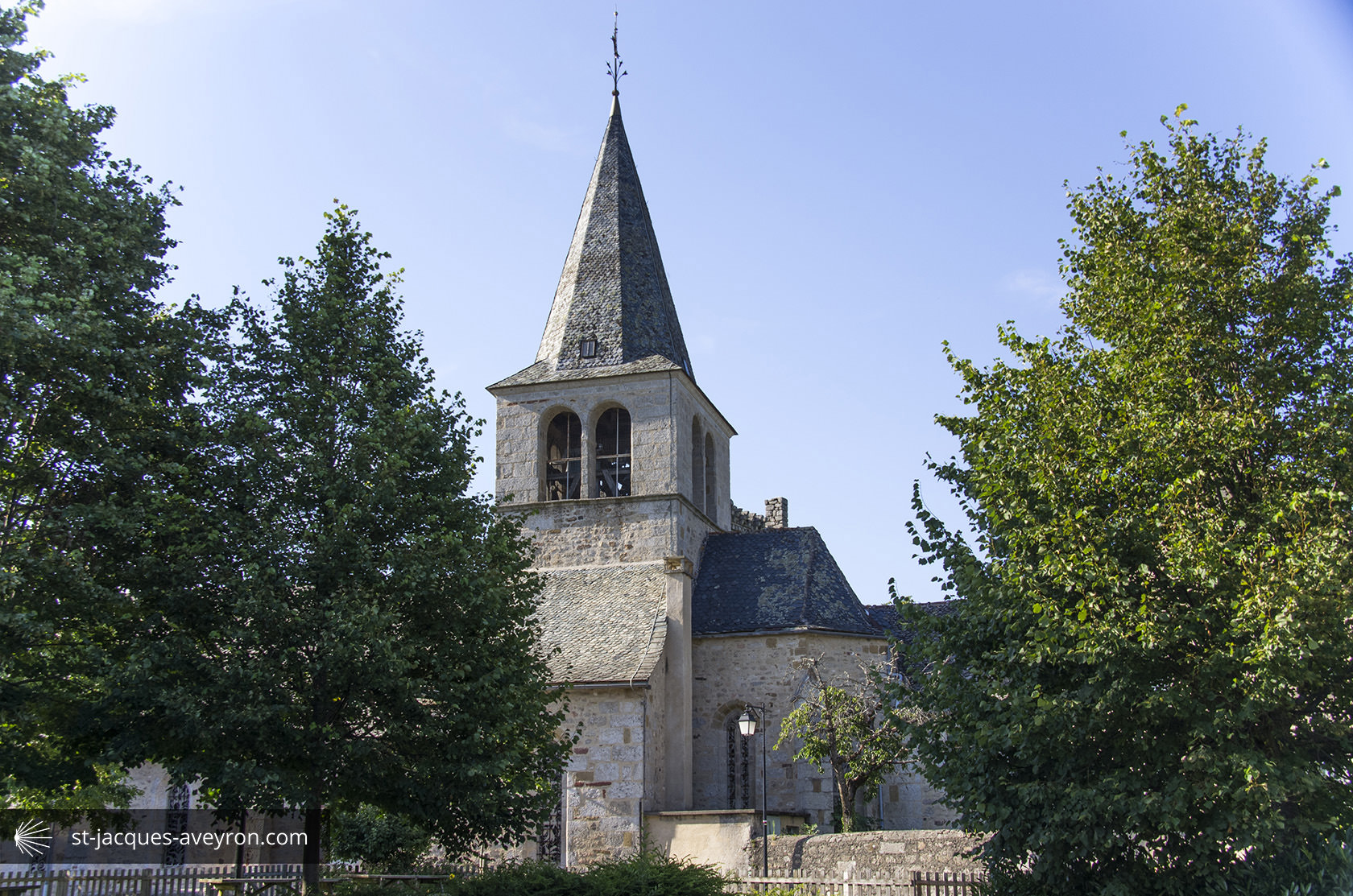
Sénergues
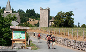
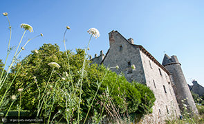
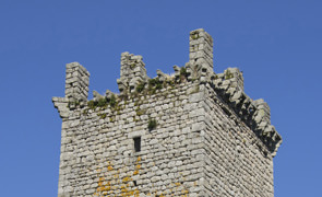
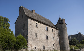
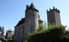
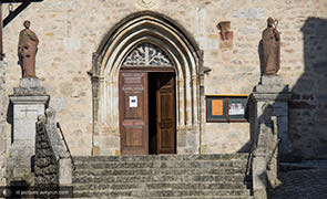
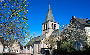
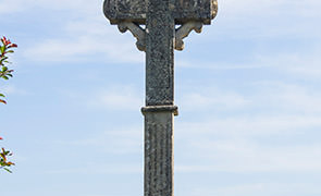
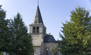
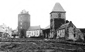
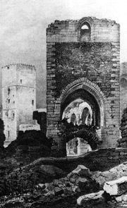
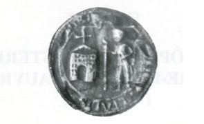
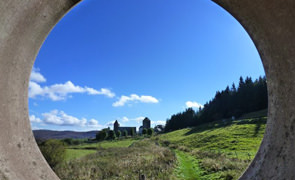
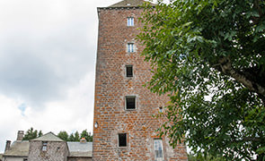
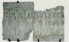
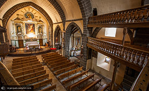
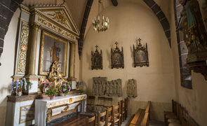
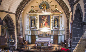
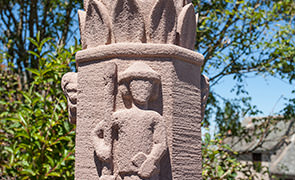
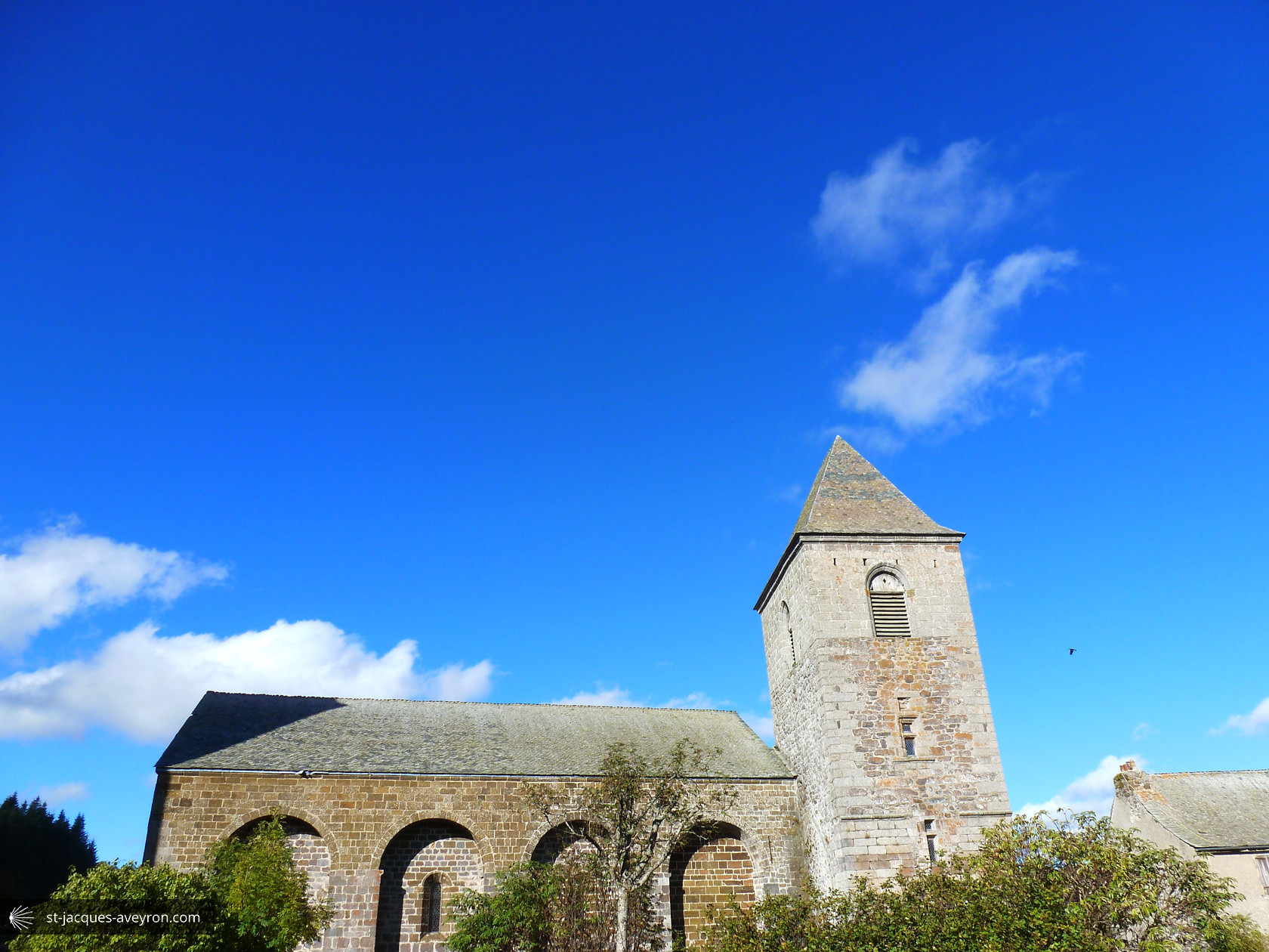
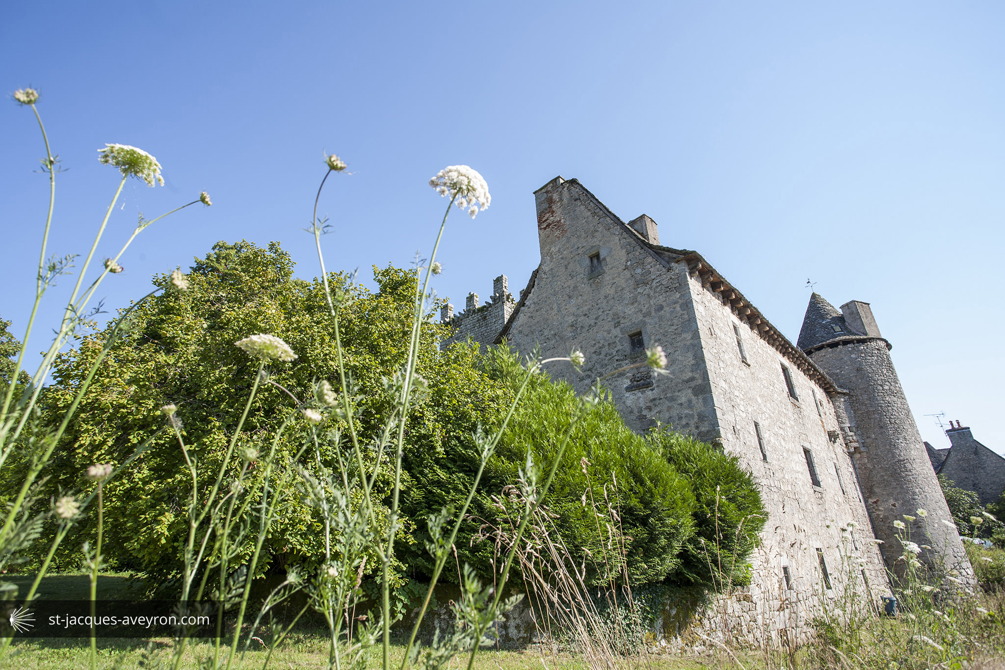
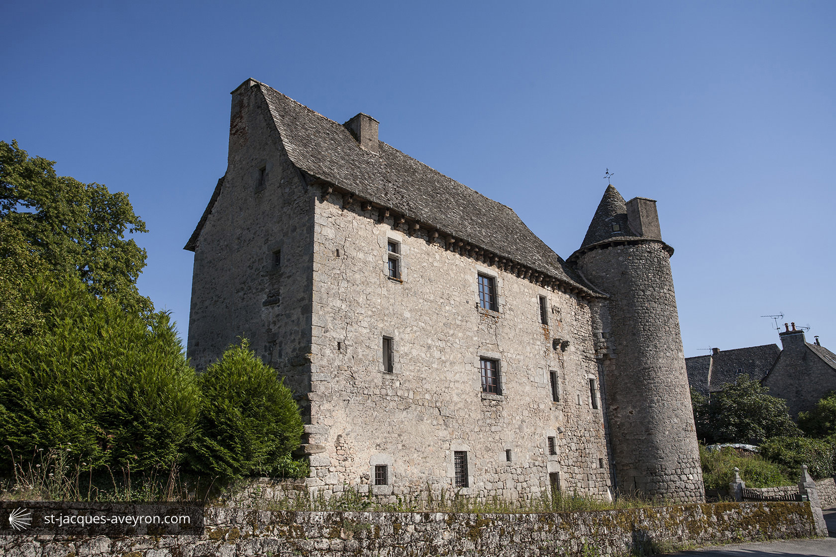
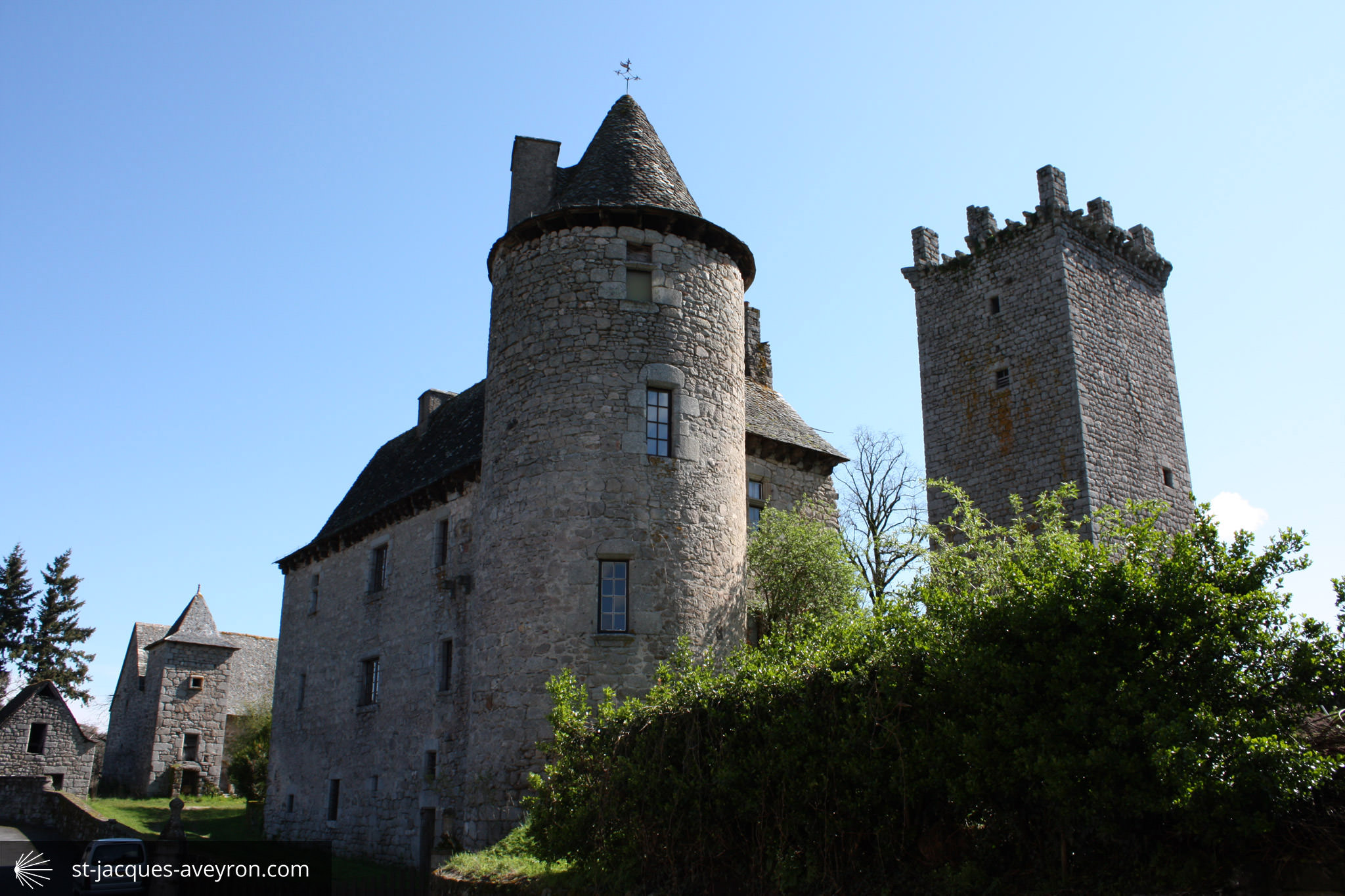
Mentioned in 819, the priory of Cerniangis developed around the pilgrimage route to Santiago de Compostela, in close proximity to the influential Conques abbey. The lovely square granite tower was built in the 14C during the Hundred Years' War as protection against the English and groups of pillagers. The architectural foundations of the château date from the late 15C/early 16C.
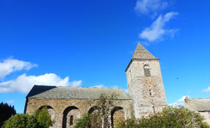
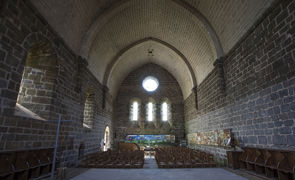
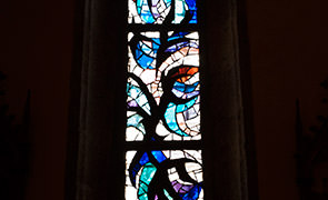
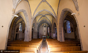
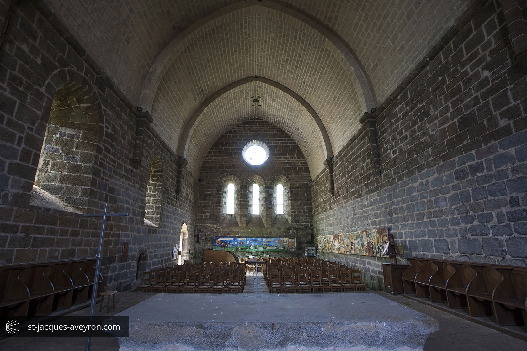
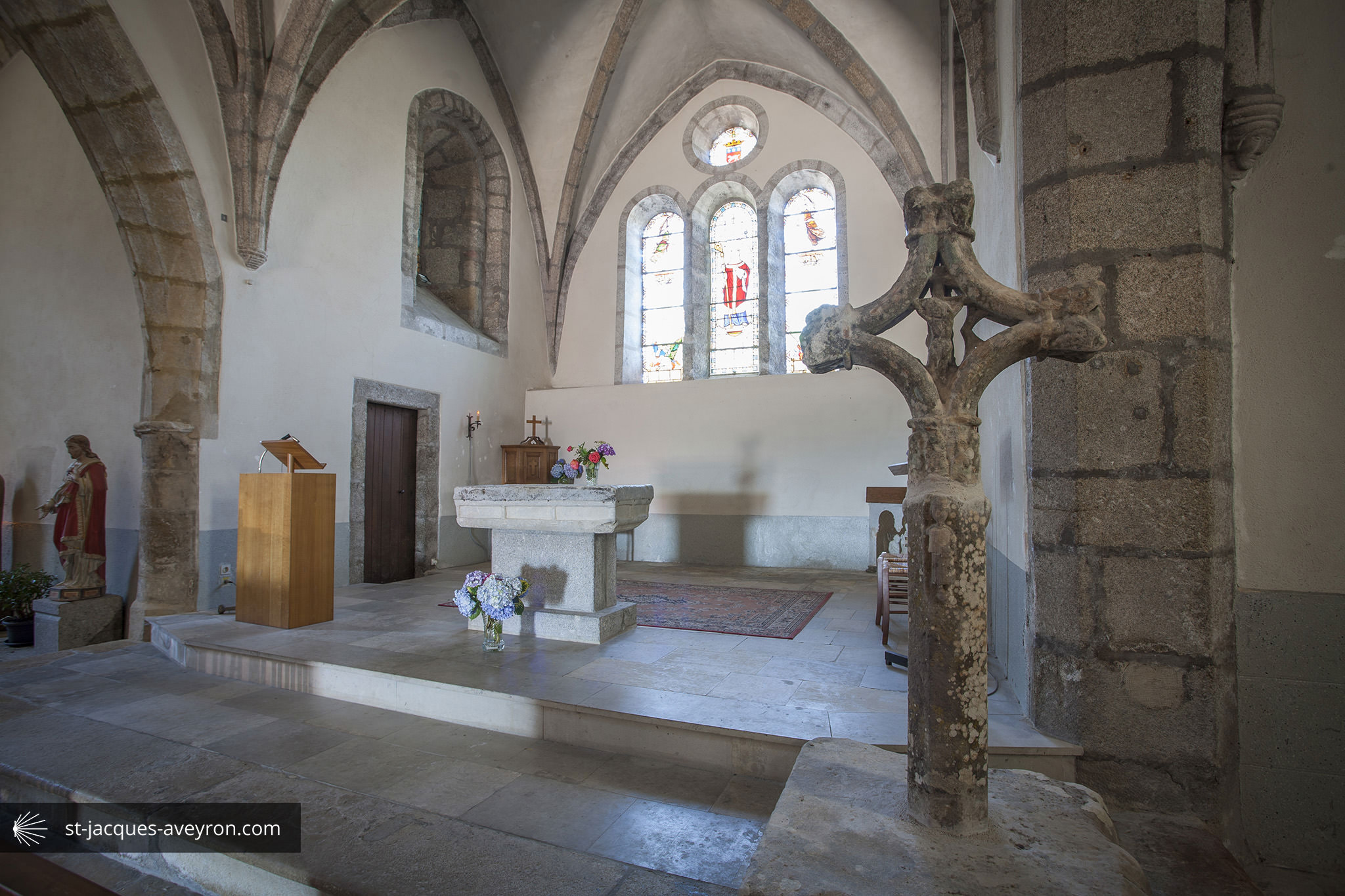
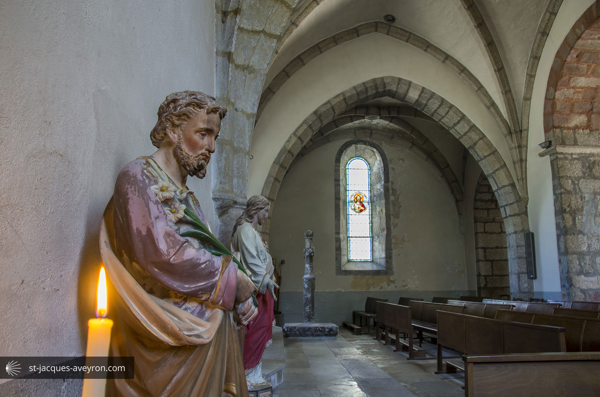
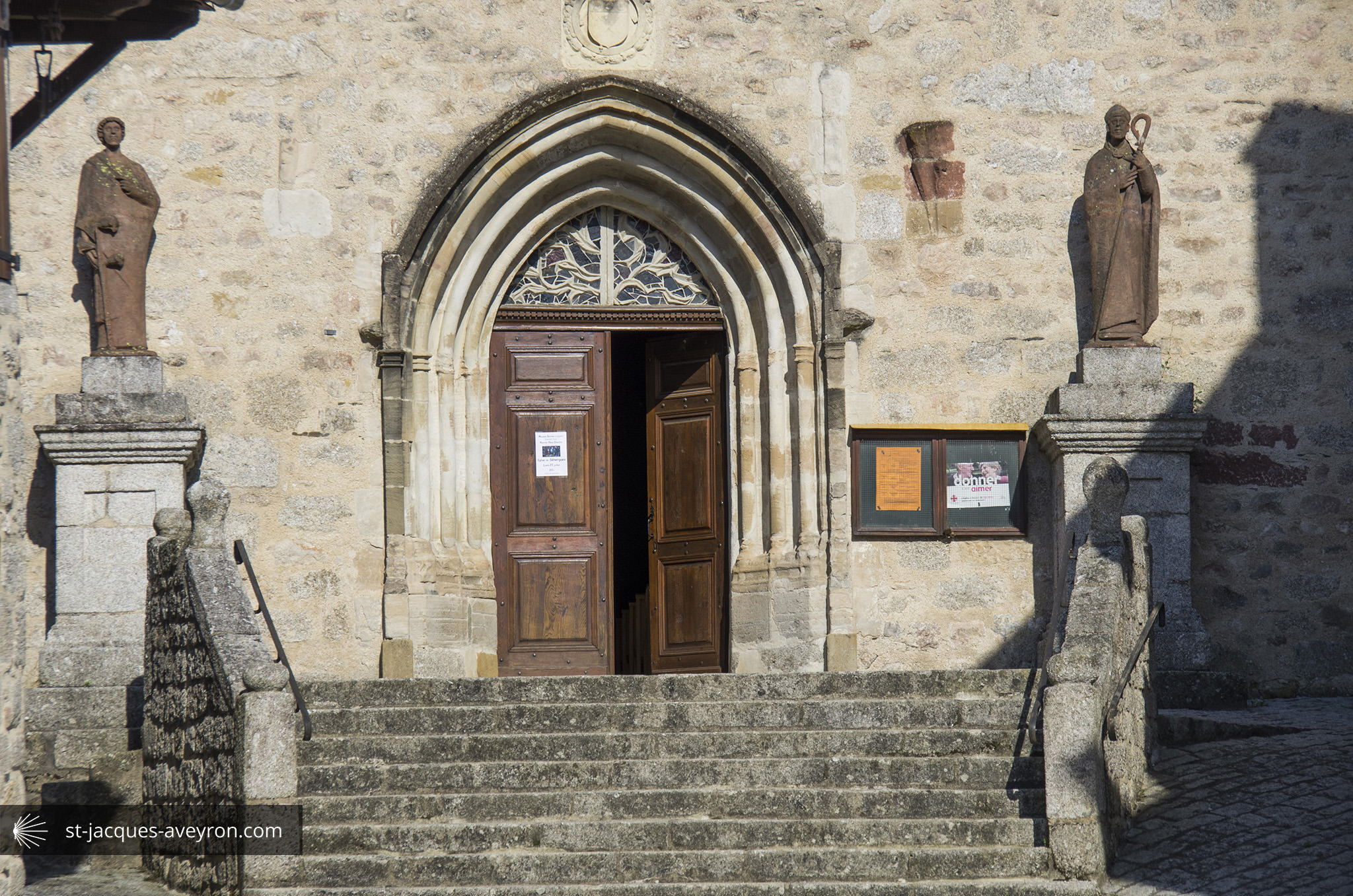
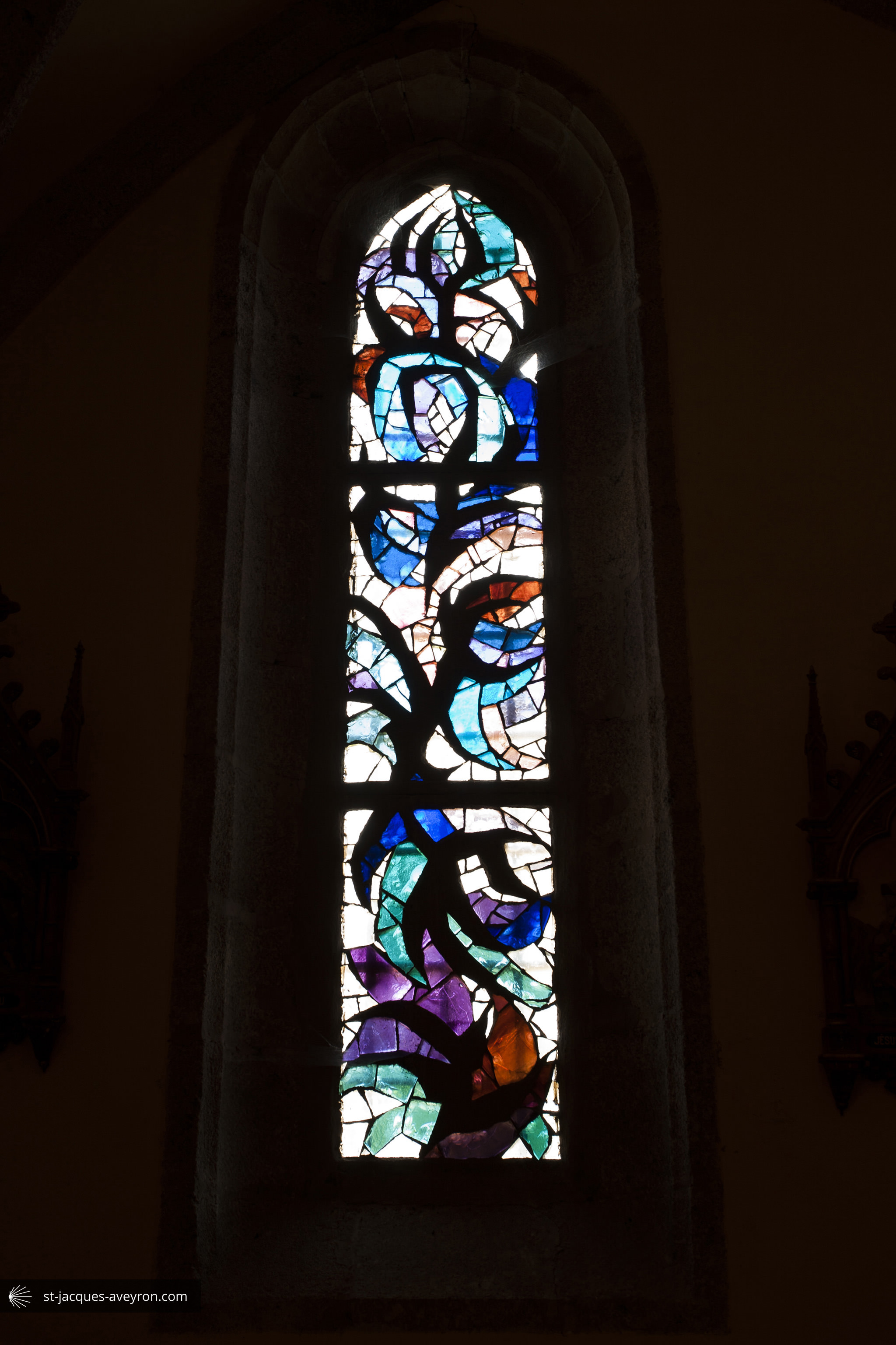
The present church mainly dates back to the 16C. Its stained glass windows, the work of Father Ephrem Socard, a Benedictine monk from En Calcat abbey and a master glazier, were fitted in 1965.

Conques – Marcillac Tourist Office
Le Bourg - F - 12320 Conques
Tel. +33 (0)5 65 72 85 00
Email : tourisme@conques.fr
Web : www.tourisme-conques.fr
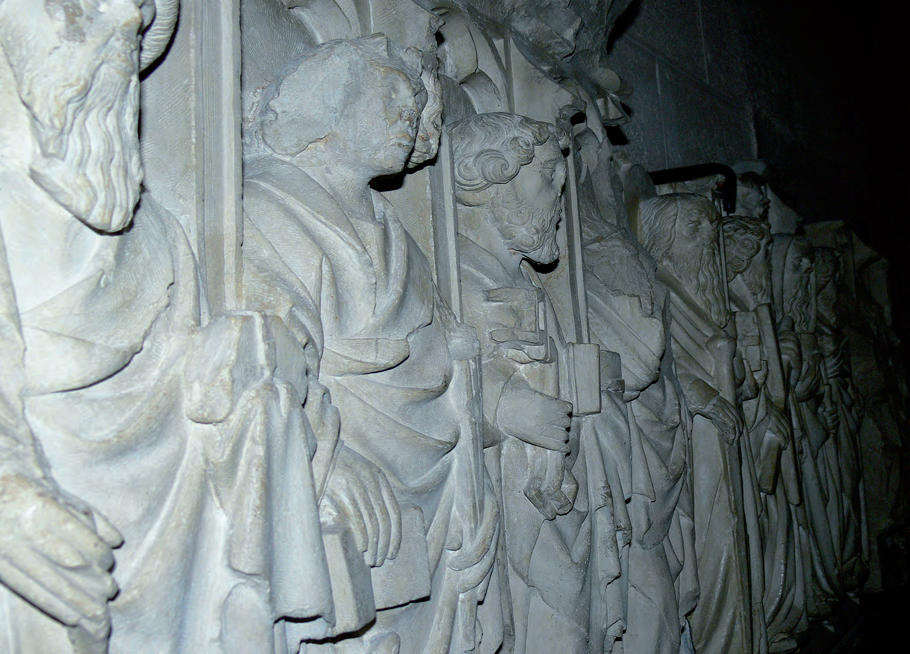
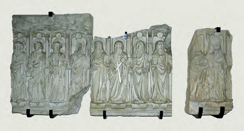
Conques

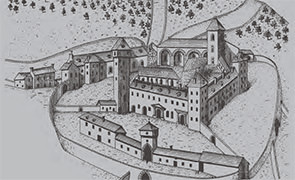
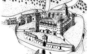
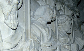
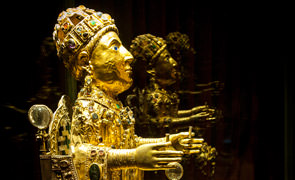
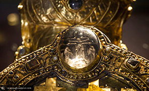
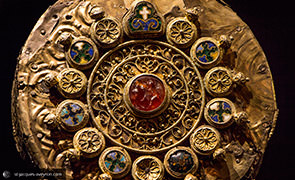
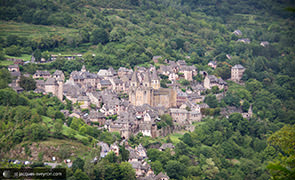
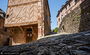
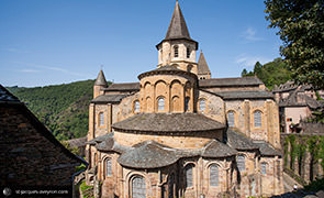
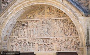
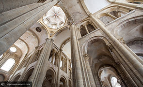
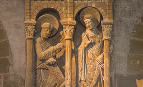
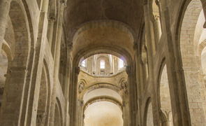
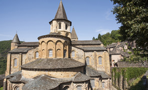
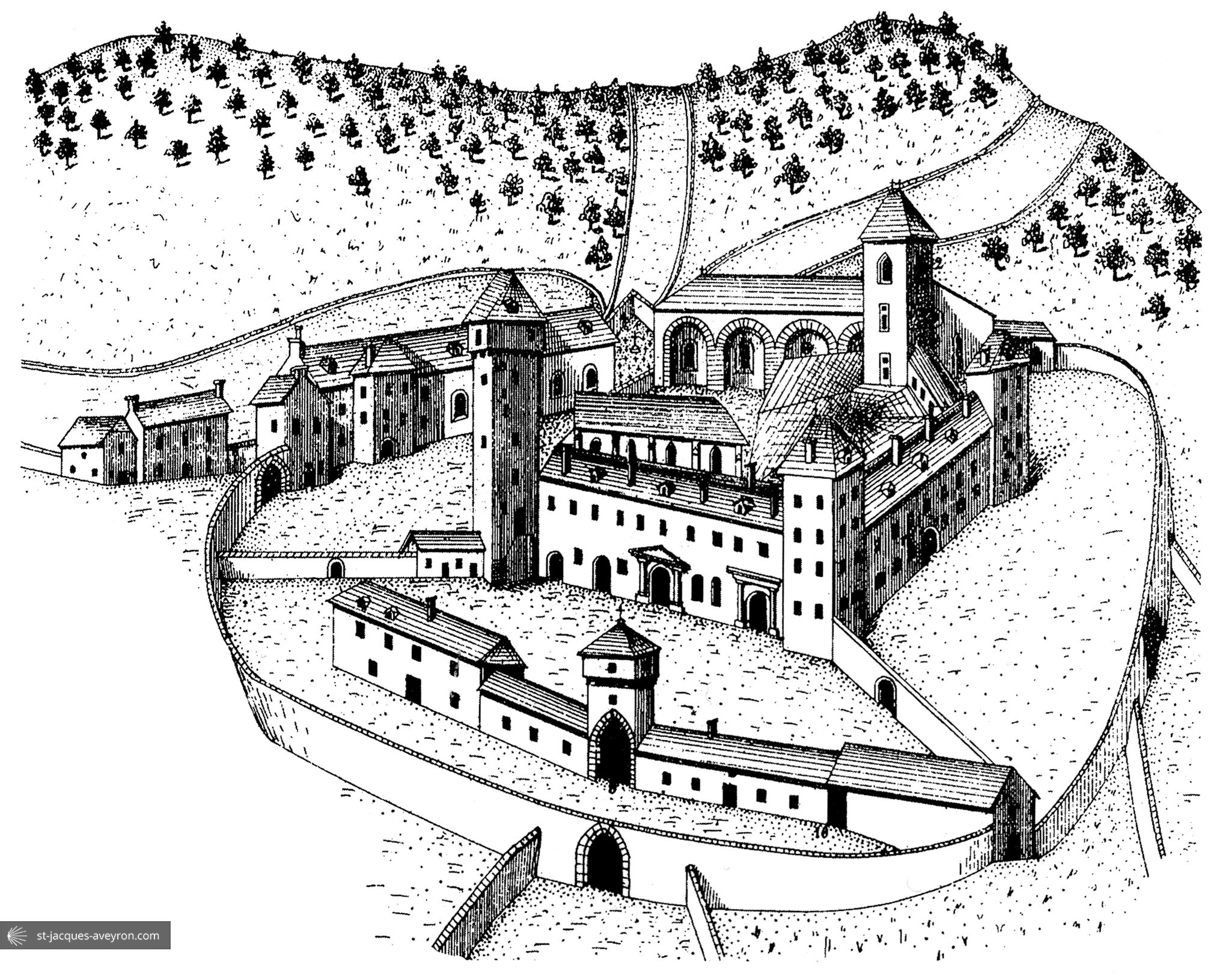
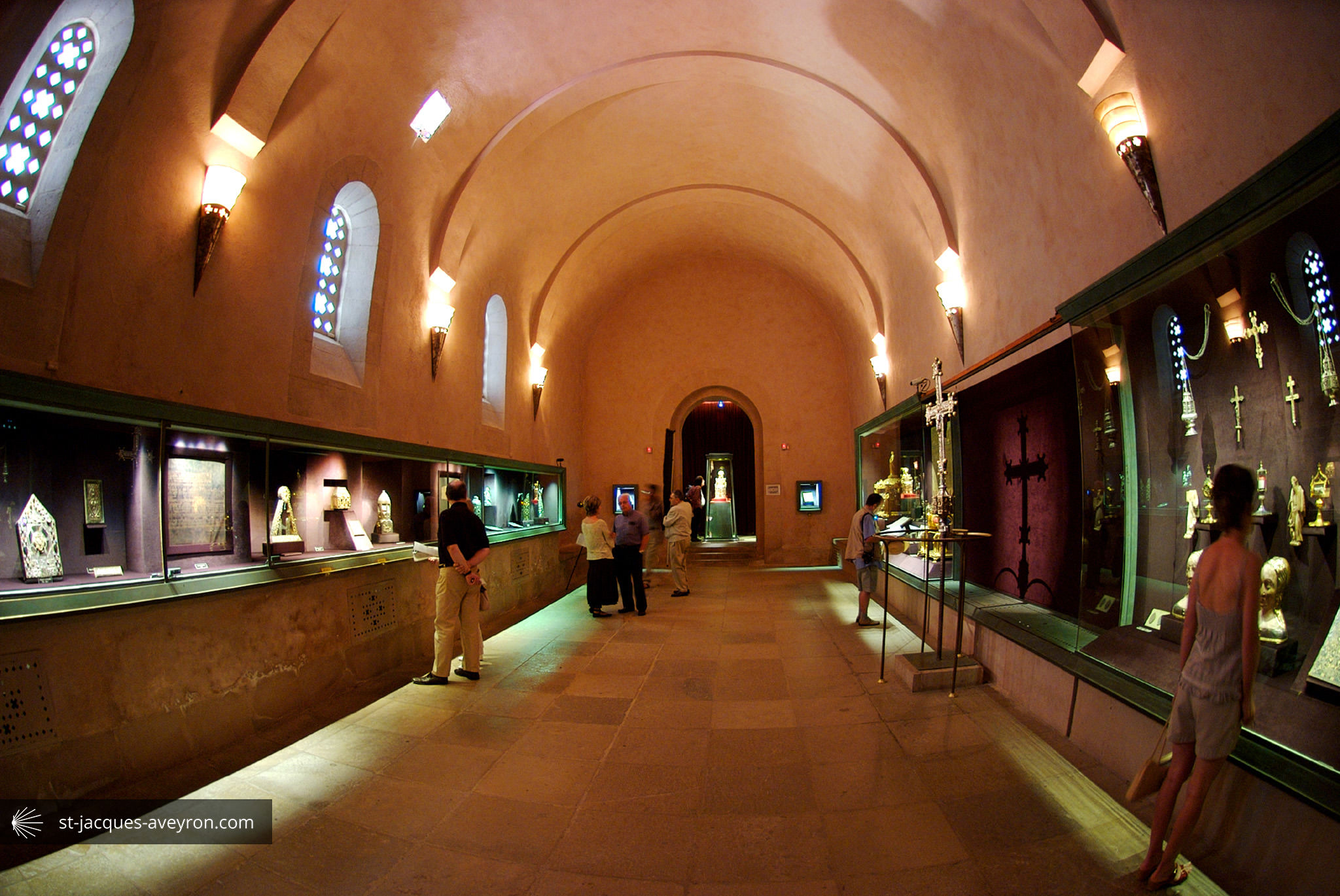
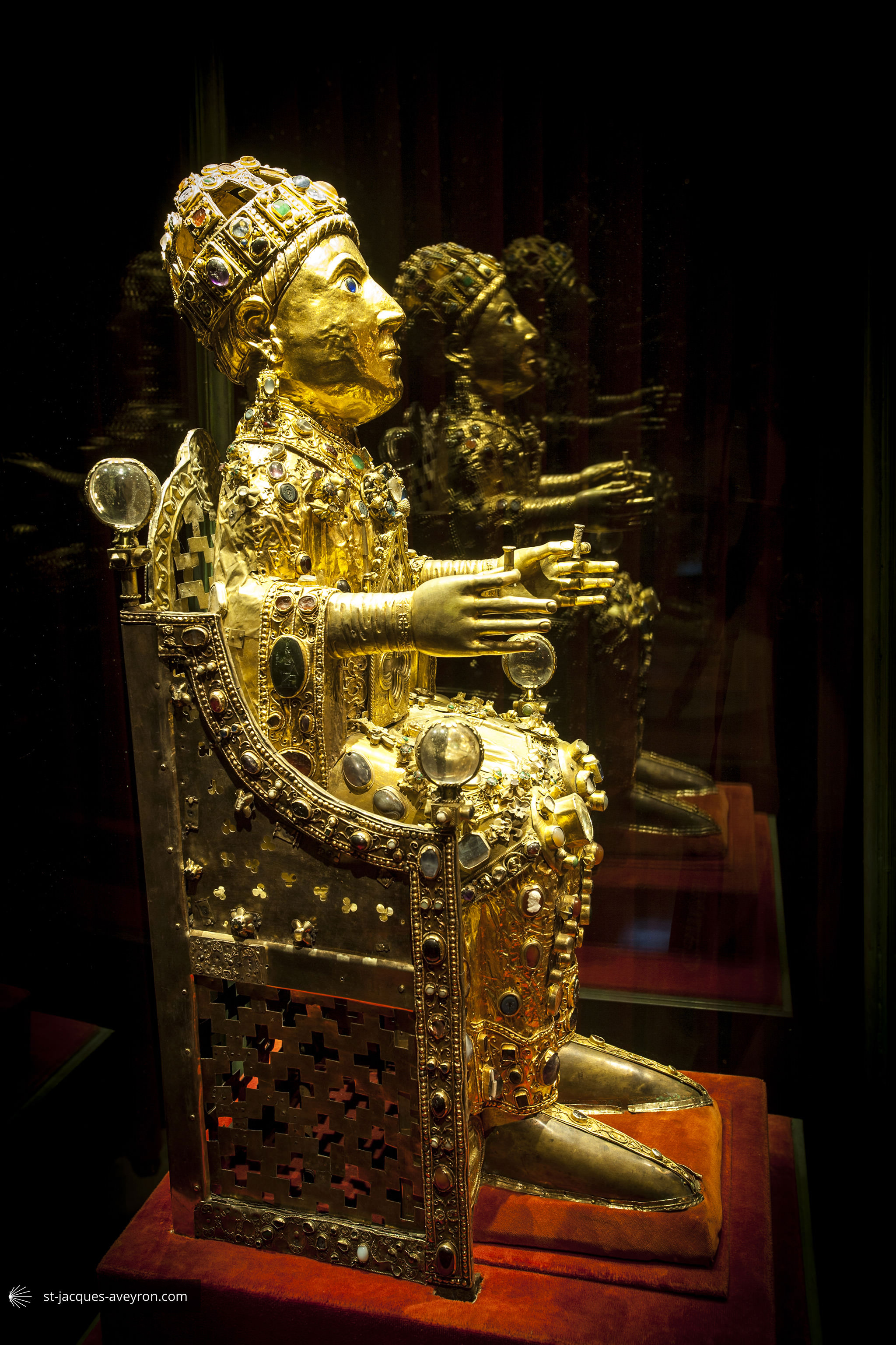
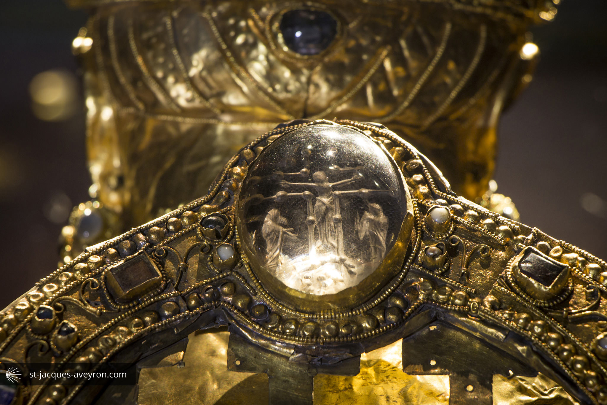
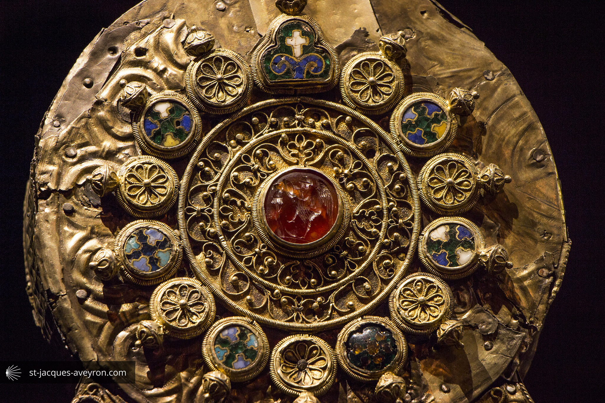
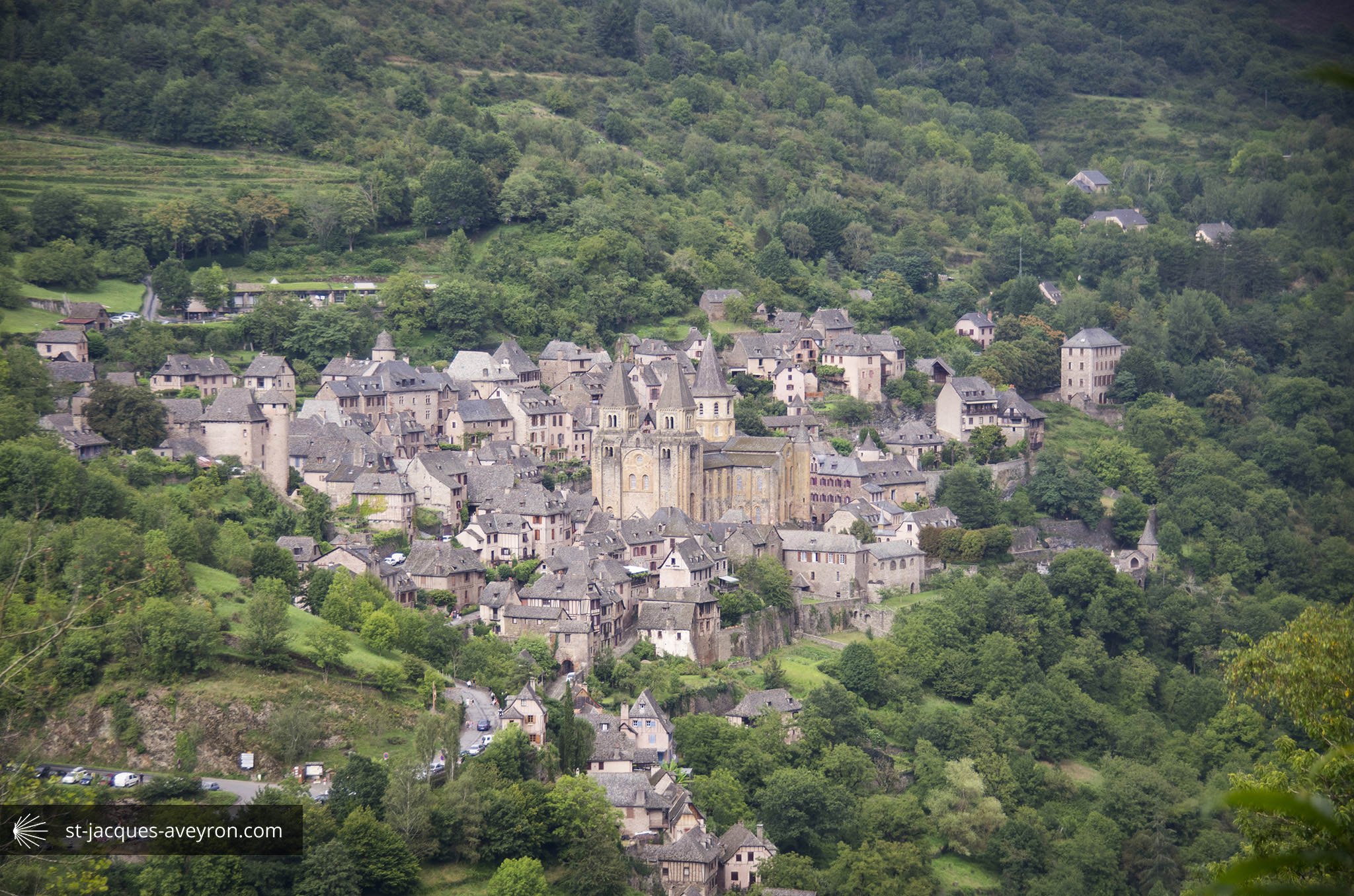
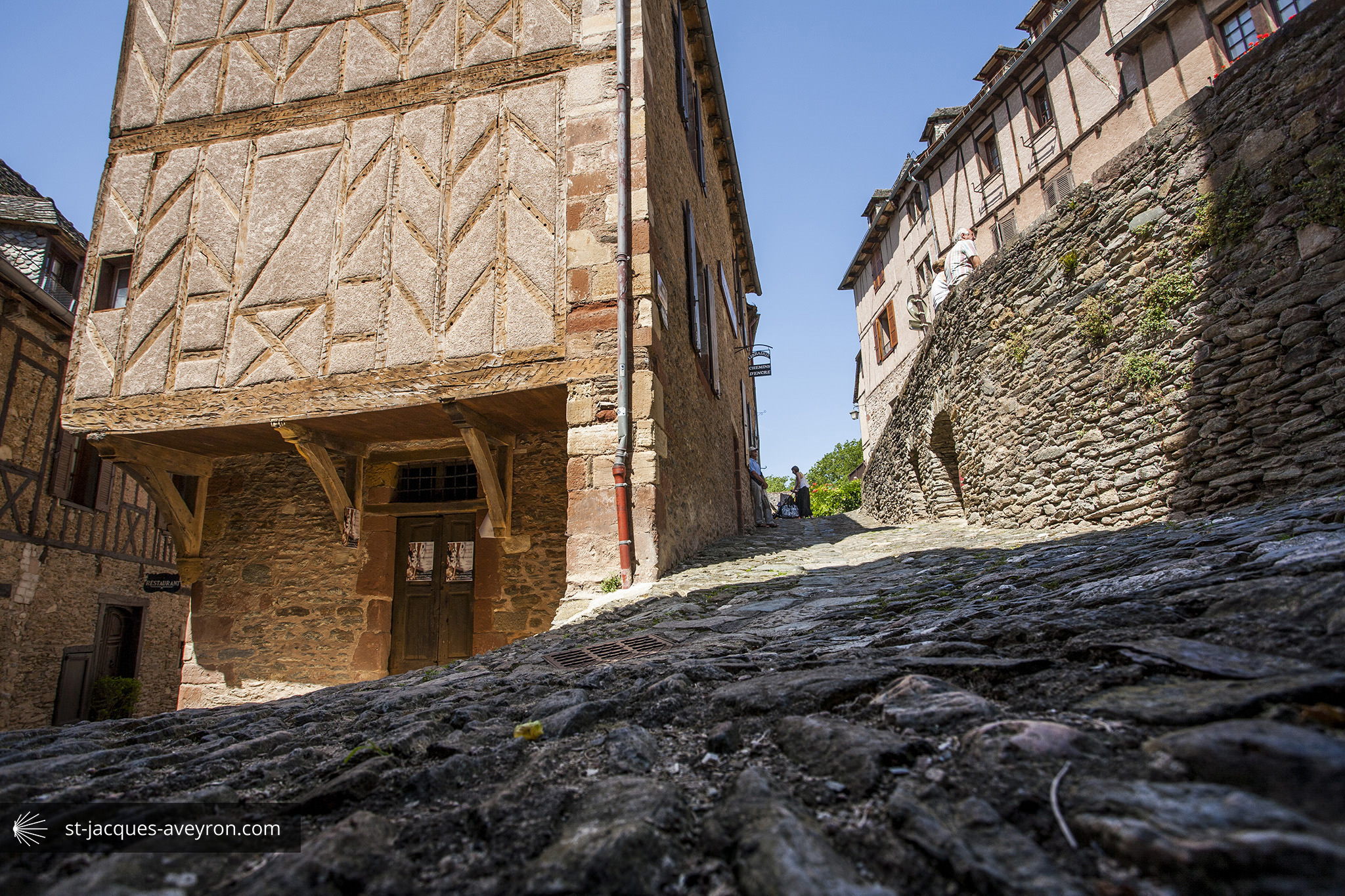
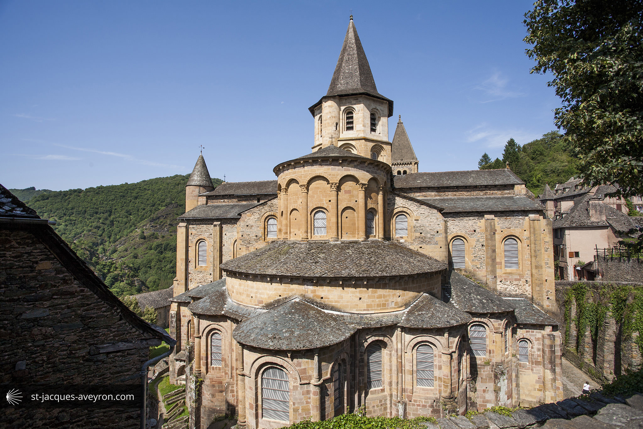
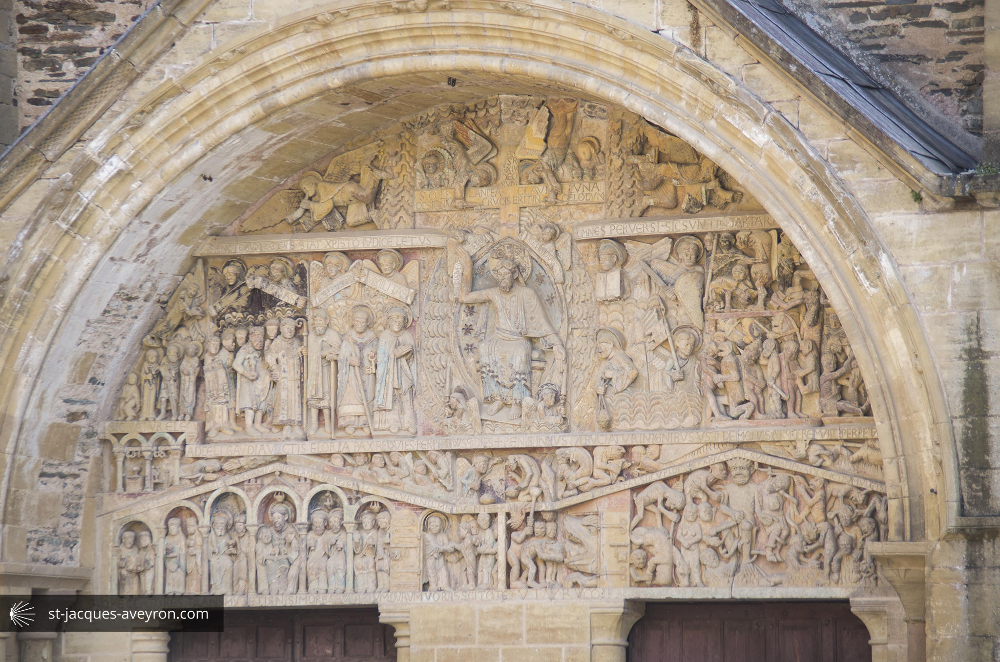
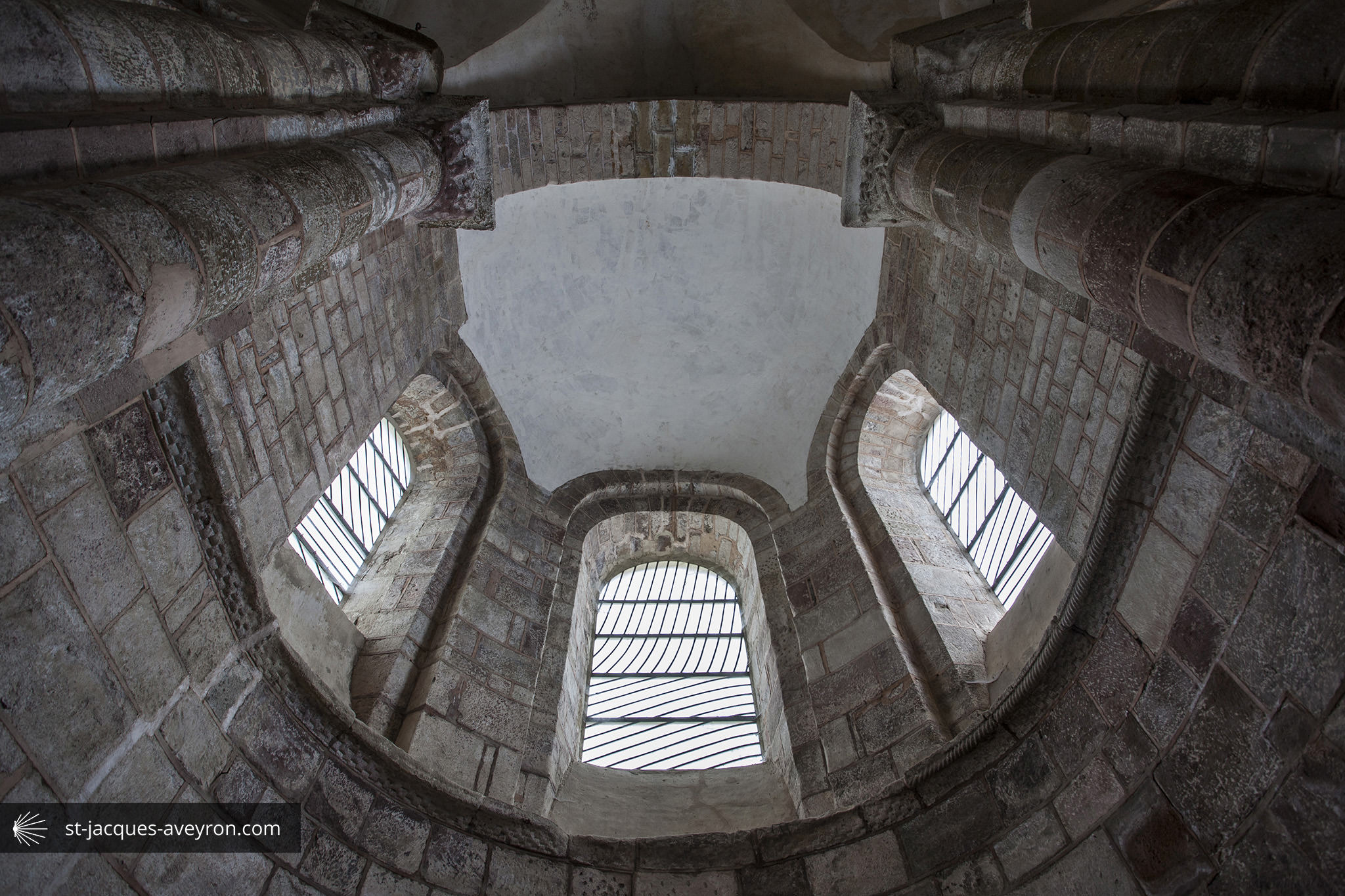
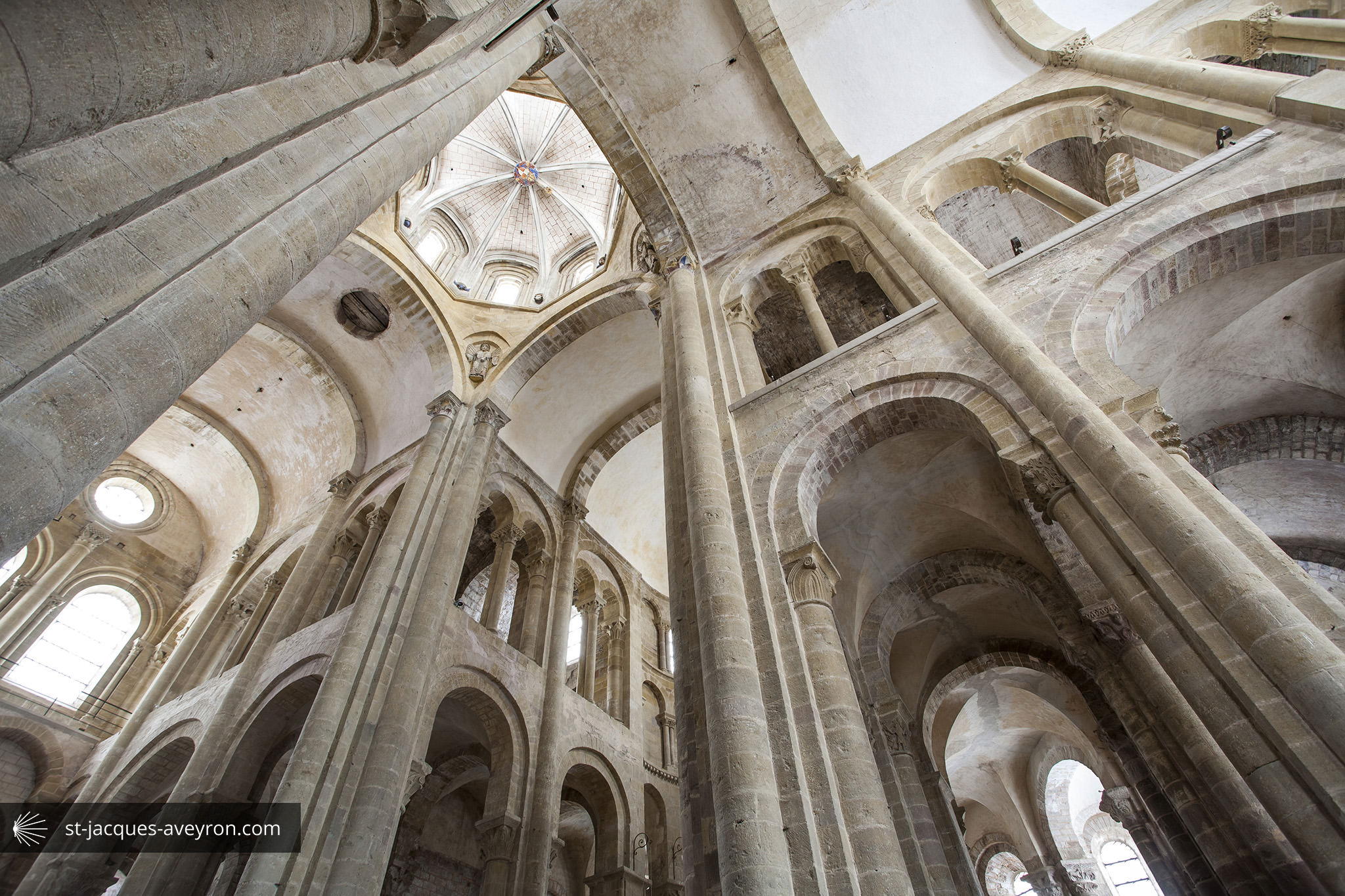
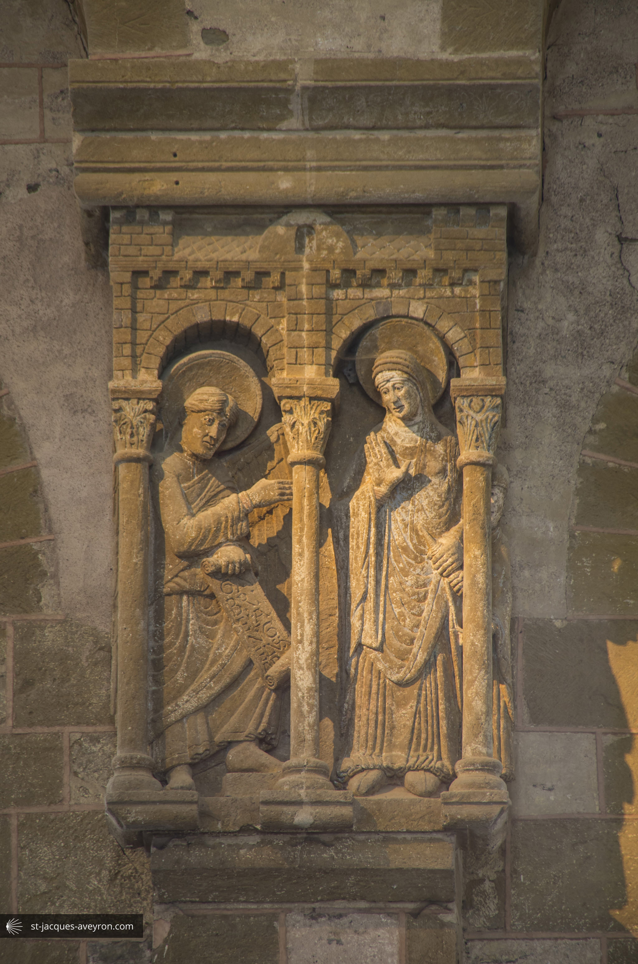
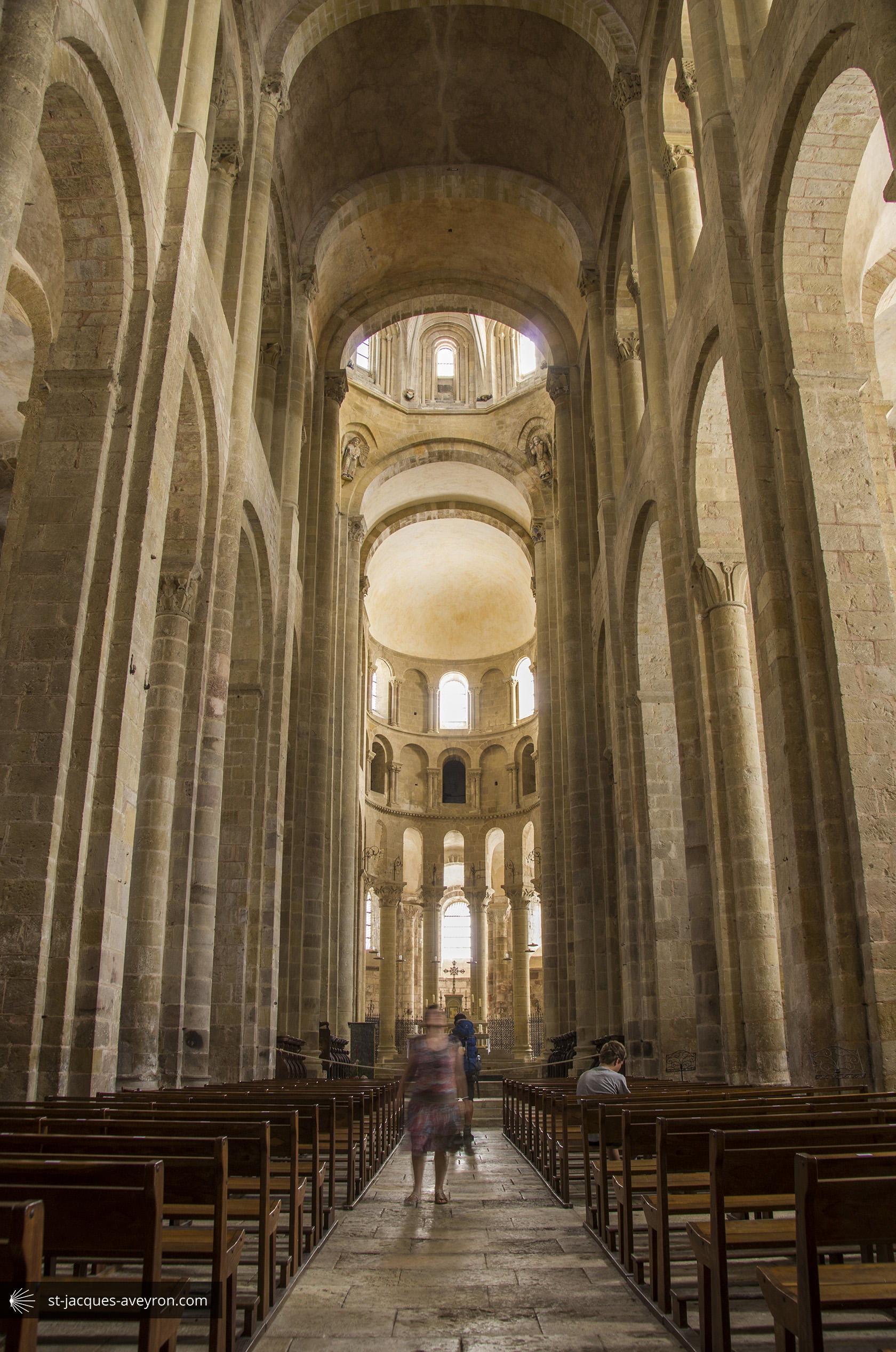
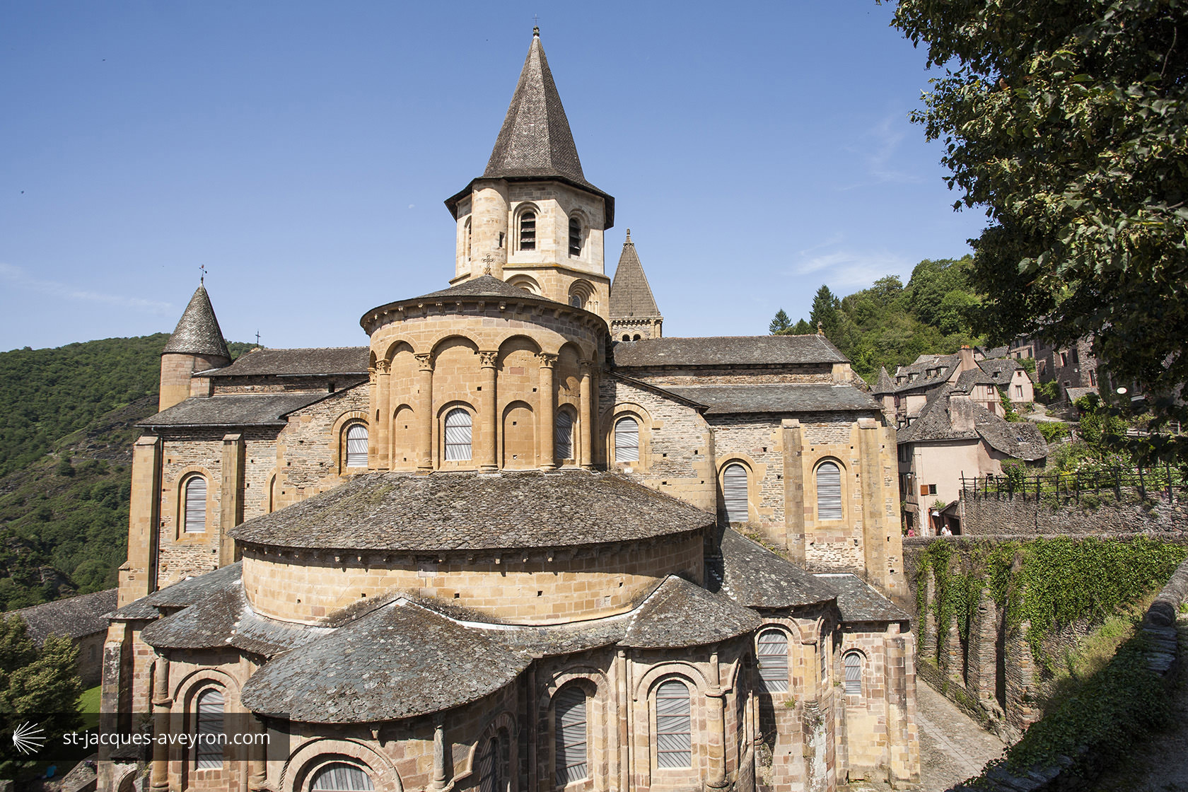
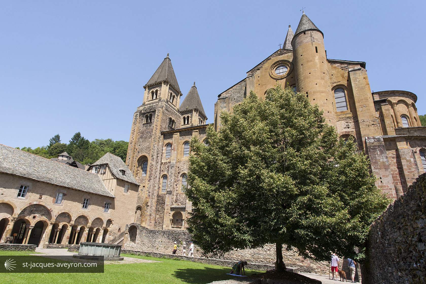
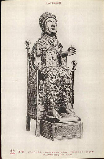
Conques owes its origin to Dadon, a hermit who apparently withdrew to this wild spot at the end of the 8C to lead a contemplative life there. The reputation of his saintliness and that of Medraldus, who had joined him, attracted a pious group that grew so much that a church dedicated to St Sauveur was built. The protection and generosity of Louis the Pious and Charlemagne were instrumental in expanding the abbey even before the relics of Sainte Foy and her succession of miracles. Conques therefore became a place of pilgrimage which grew on the Route to Santiago de Compostela. Construction of the present abbey-church was started in the 11C.
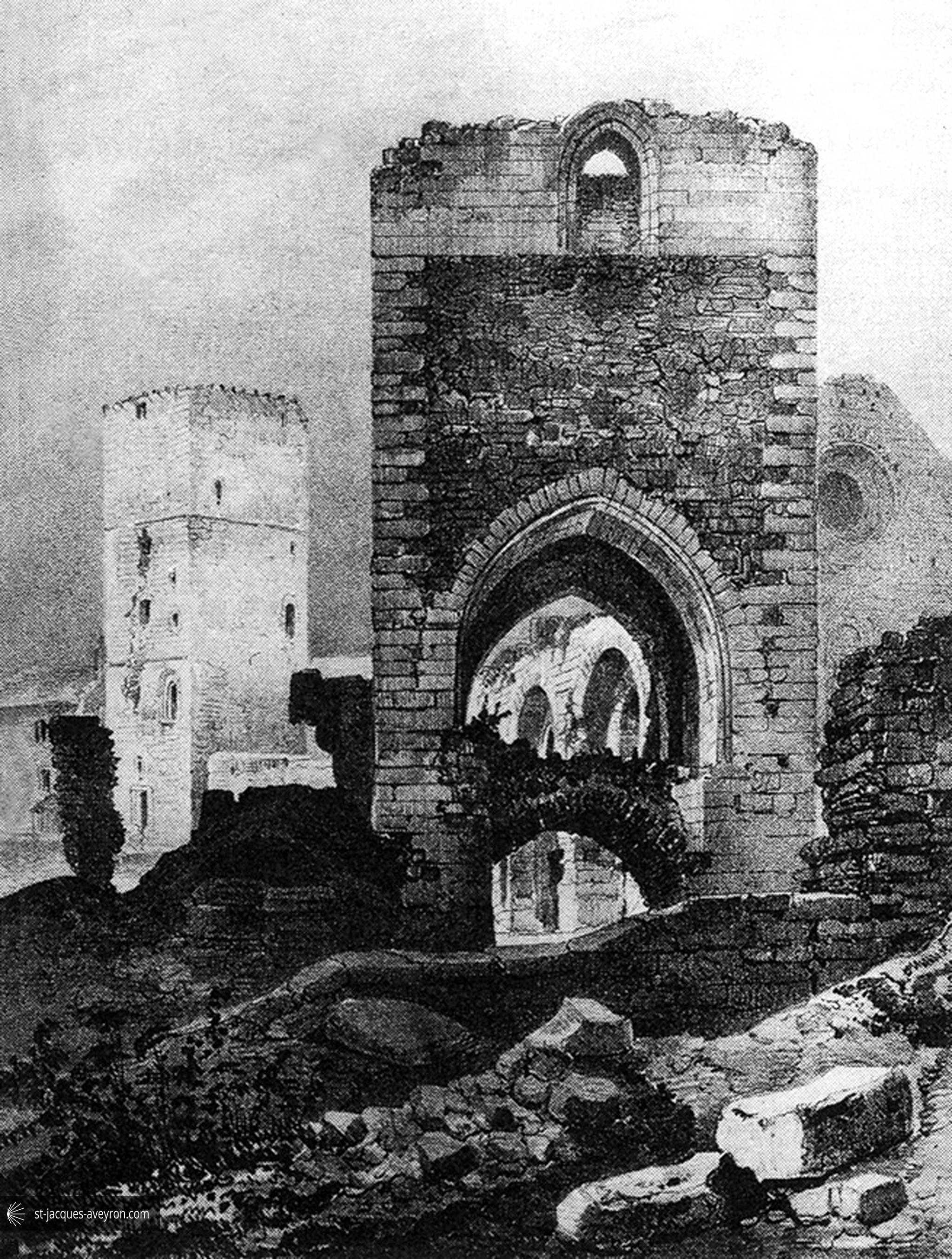
At the same time as the church became established, a group of people gathered here, including merchants and craftsmen, and slowly freed themselves from the religious authority. On the sunwashed slope overlooking the abbey, a small town grew, protected by a ring of walls, with fortified gates set in it and flanked by a few towers. Outside the town walls, a faubourg was set up where craft activities, mills and tanneries were concentrated along with drapers’, tailors’ and cobbler’s workshops. In the 14C, Conques must have had around 3,000 inhabitants. Following wars of religion, epidemics and famine, there were only 630 just before the Revolution.

Conques – Marcillac Tourist Office
Le Bourg - F - 12320 Conques
Tel. +33 (0)5 65 72 85 00
Email : tourisme@conques.fr
Web : www.tourisme-conques.fr