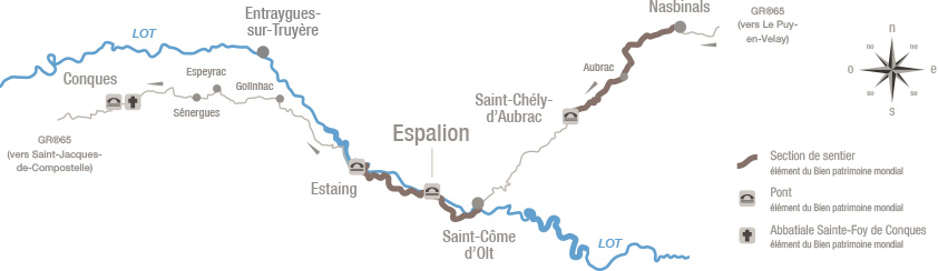
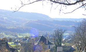
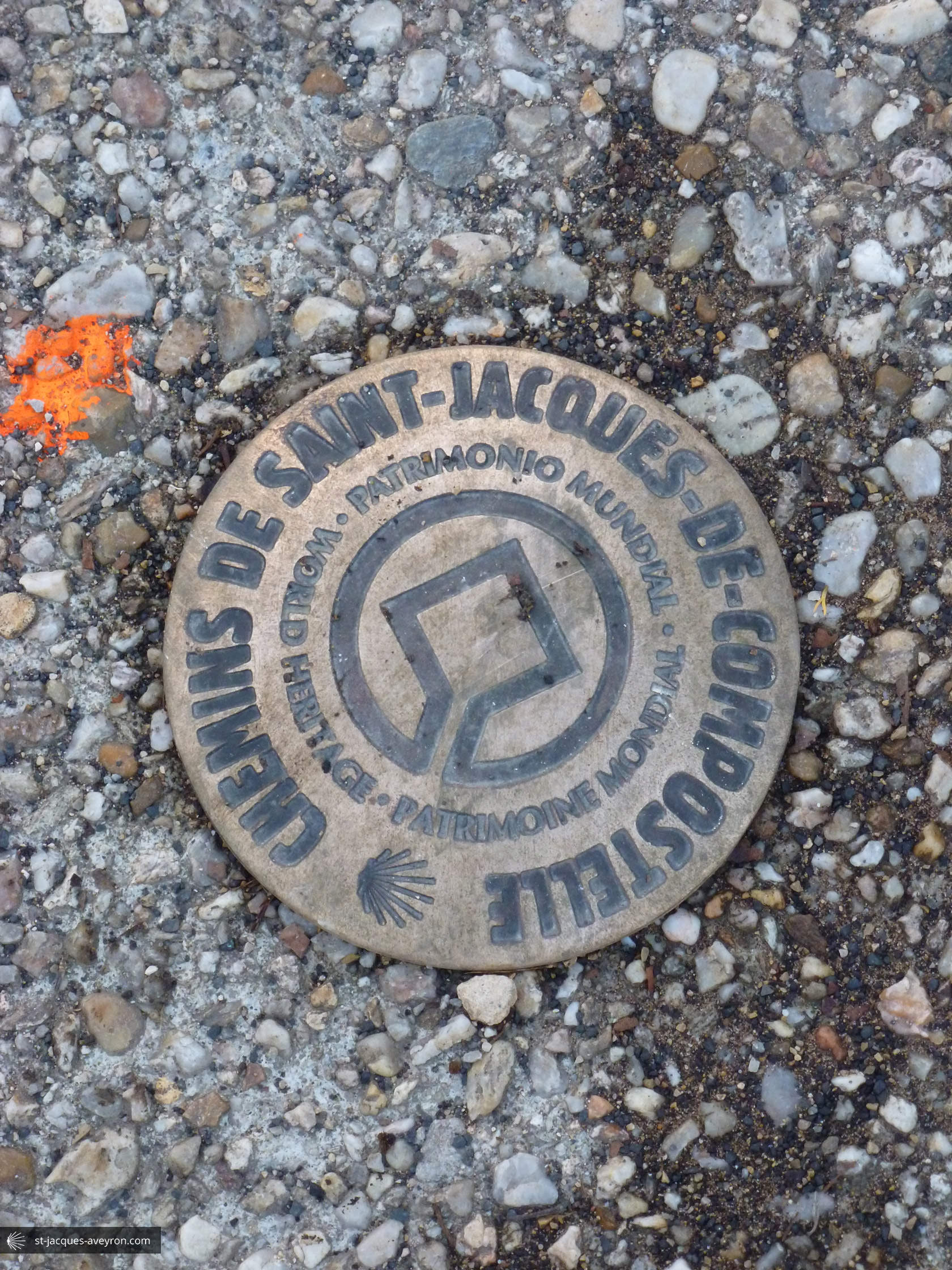
Did you know that two of the seven sections of the Routes of Santiago de Compostela in France on the World Heritage List are in Aveyron? There are also four inscribed bridges and Sainte Foy Abbey-church in Conques. This represents outstanding heritage, which stretches out over 80 km, from the Aubrac plateau to the Lot Valley. A string of travellers wends its way through this landscape. The Routes to Santiago de Compostela are both unique and universal: they have been shaped for more than 1,000 years by emotions, encounters and sharing.
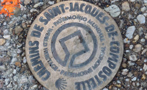
In 1998, the "Routes of Santiago de Compostela in France" were inscribed on the World Heritage List because of their exceptional universal value. This inscription took the form of a selection of 71 buildings and 7 stretches of path which bear witness to the routes and places frequented by pilgrims wanting to go to Santiago de Compostela.
In Aveyron, several edifices are recognised as World Heritage because they are outstanding landmarks on the route followed by pilgrims:
the bridges over the Boralde in Saint Chély d’Aubrac, over the Lot in Espalion and Estaing and over the Dourdou in Conques;
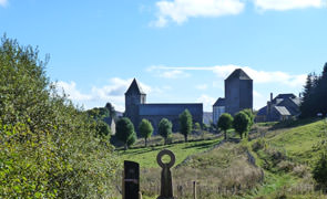
Sainte Foy Abbey-church in Conques, la place of pilgrimage in its own right dedicated to young Sainte Foy. Pilgrims on the Way of St James, referred to as jacquets, were advised to visit it as early as the Middle Ages;
Nasbinals (Lozère) / Aubrac / Saint-Chély-d'Aubrac : 17 km from the Aubrac plateau to its foothills;
Saint-Côme-d'Olt / Espalion / Estaing : 17 km along the Lot Valley.
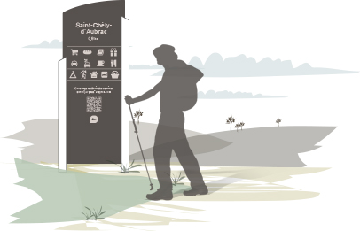
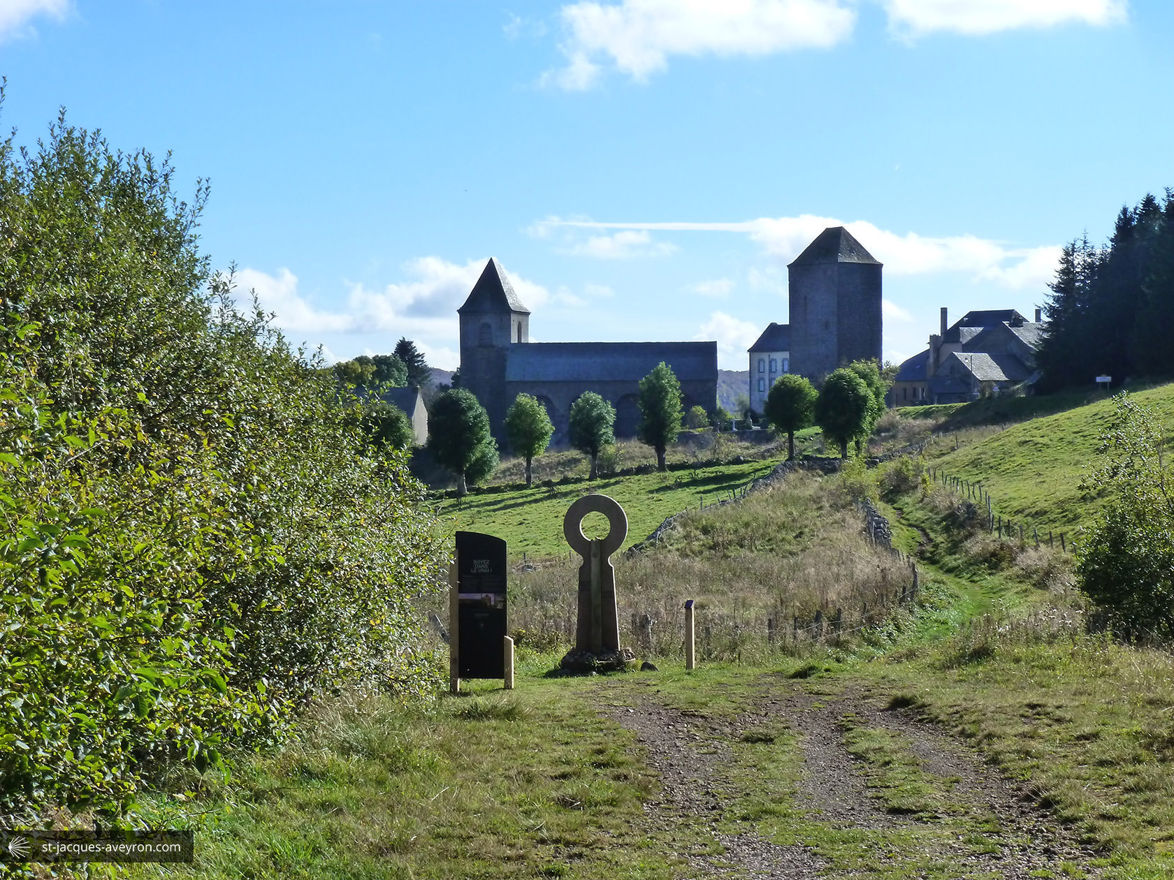
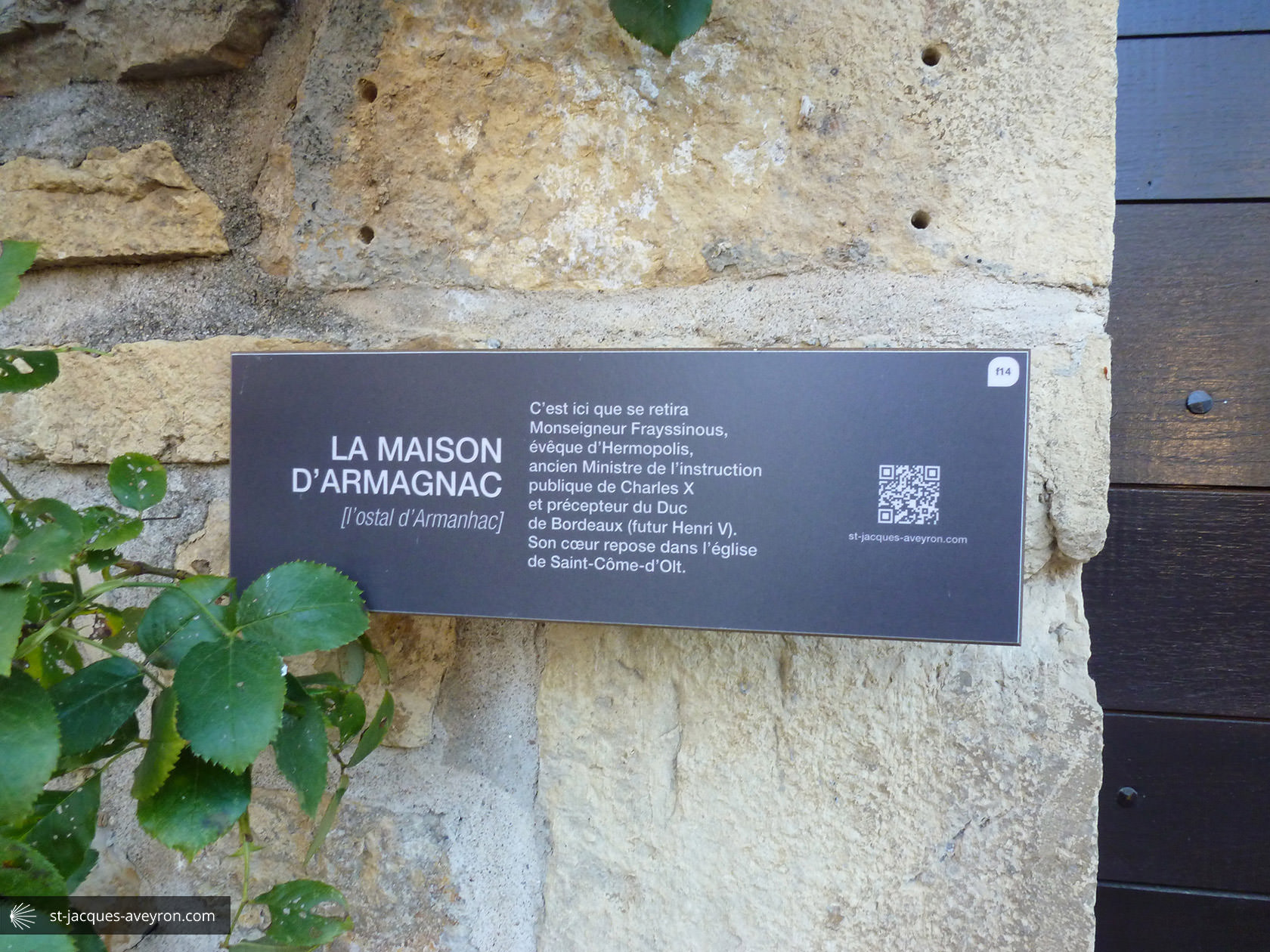
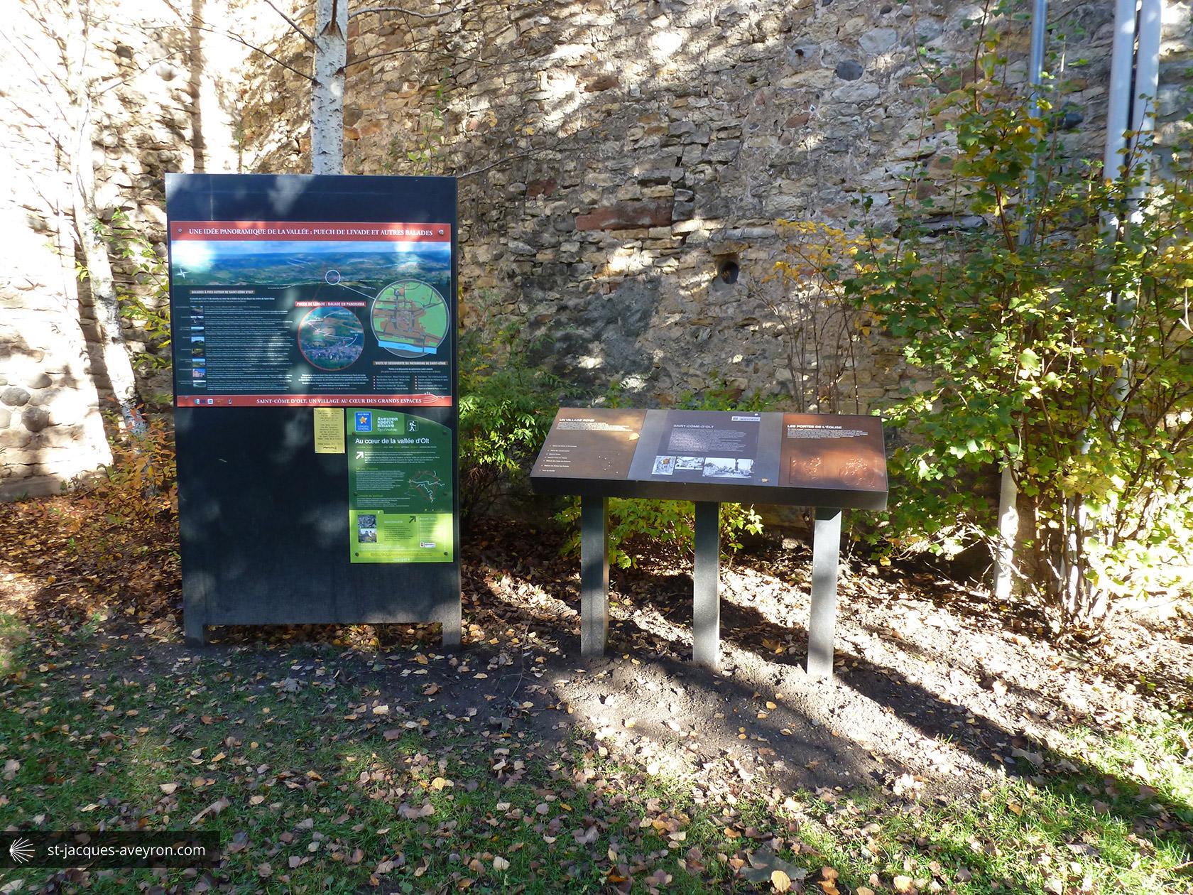
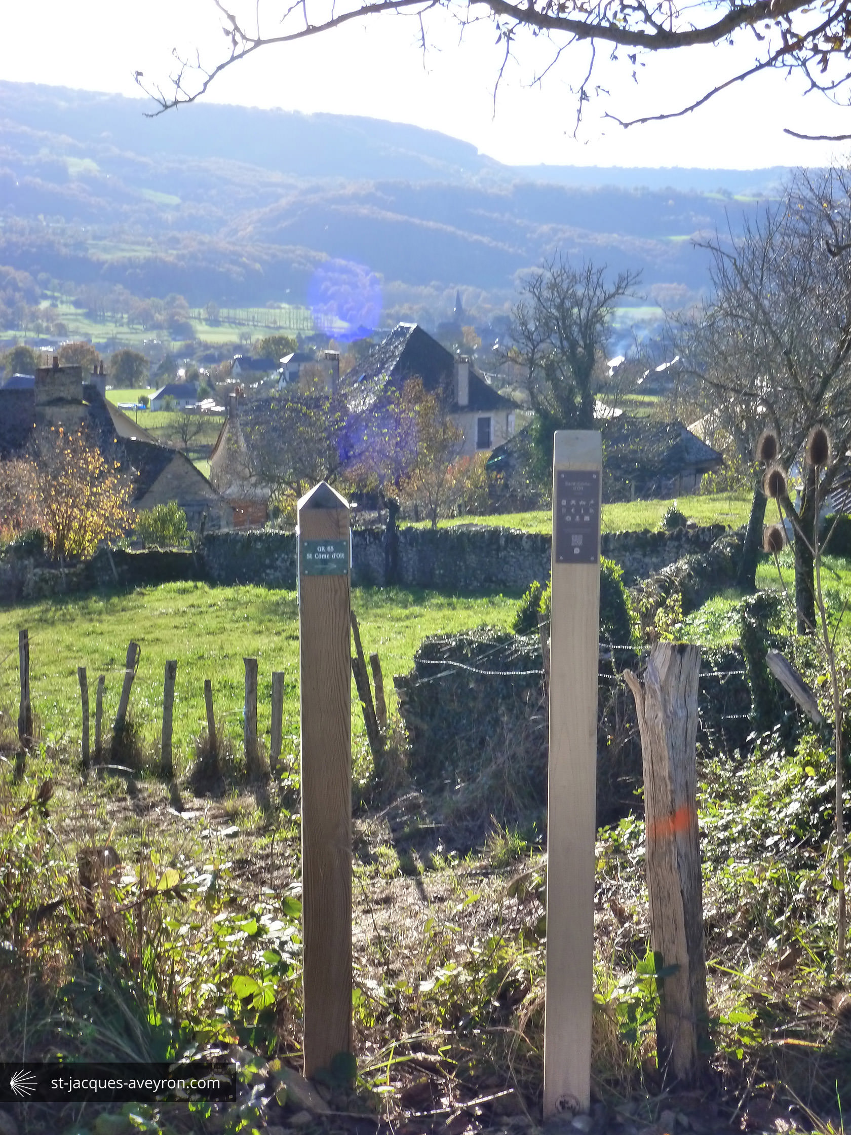
Discover the heritage thanks to the signs put up on the way from Aubrac to Conques
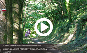
Michel Longuet
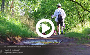
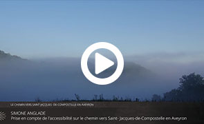
Simone Anglade
Simone Anglade
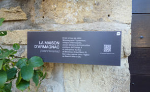
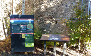
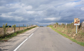
Between Aubrac and Conques, the local authorities of the area that the Puy en Velay route to Santiago de Compostela (GR®65) runs through have carried out a series of developments to help you discover this pedestrian and cultural route that is laden with meaning and history. Information boards line the 80 km section of the route. They will provide you with the tools to discover the heritage that is visible from the route (Romanesque monuments, landscape, geology, rural life, etc.).
This application will guide you and give you information about the services (accommodation, restaurants, visits, etc.). Each information board has been copied. You will also find extra information about the subjects dealt with, audiovisual content, a picture library, etc.
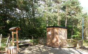
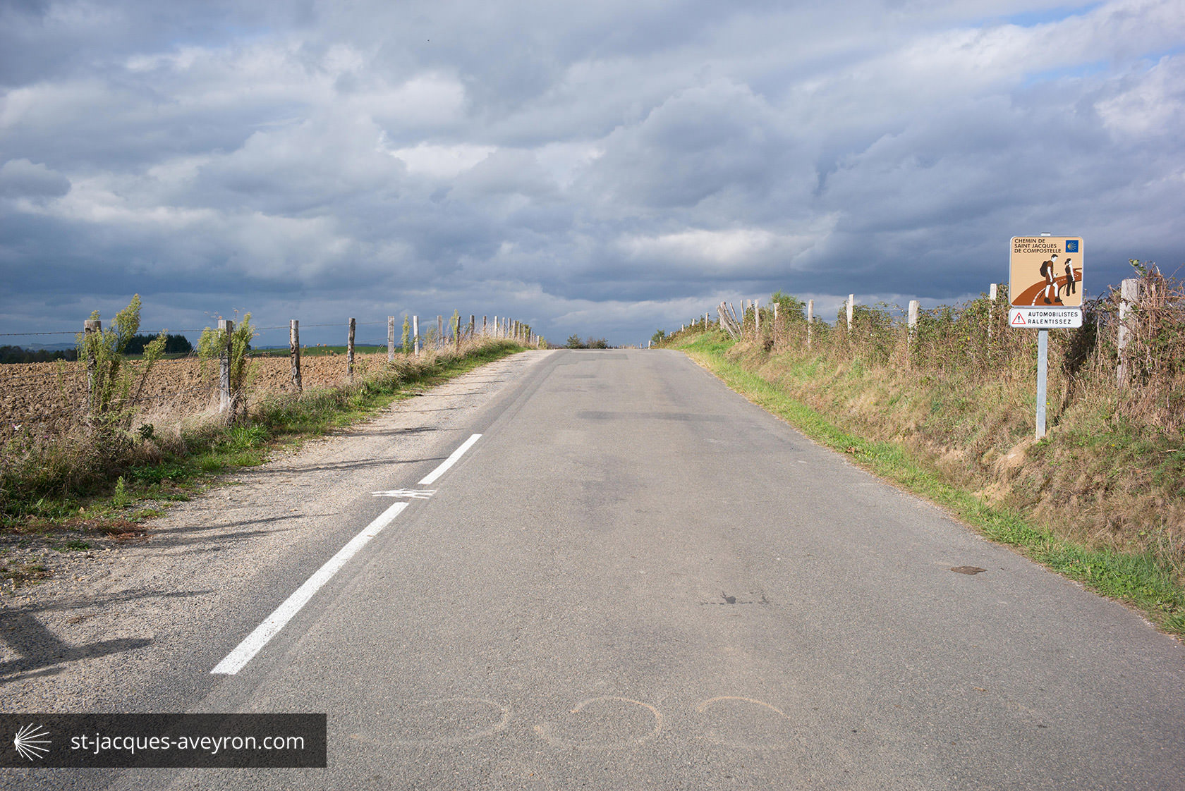
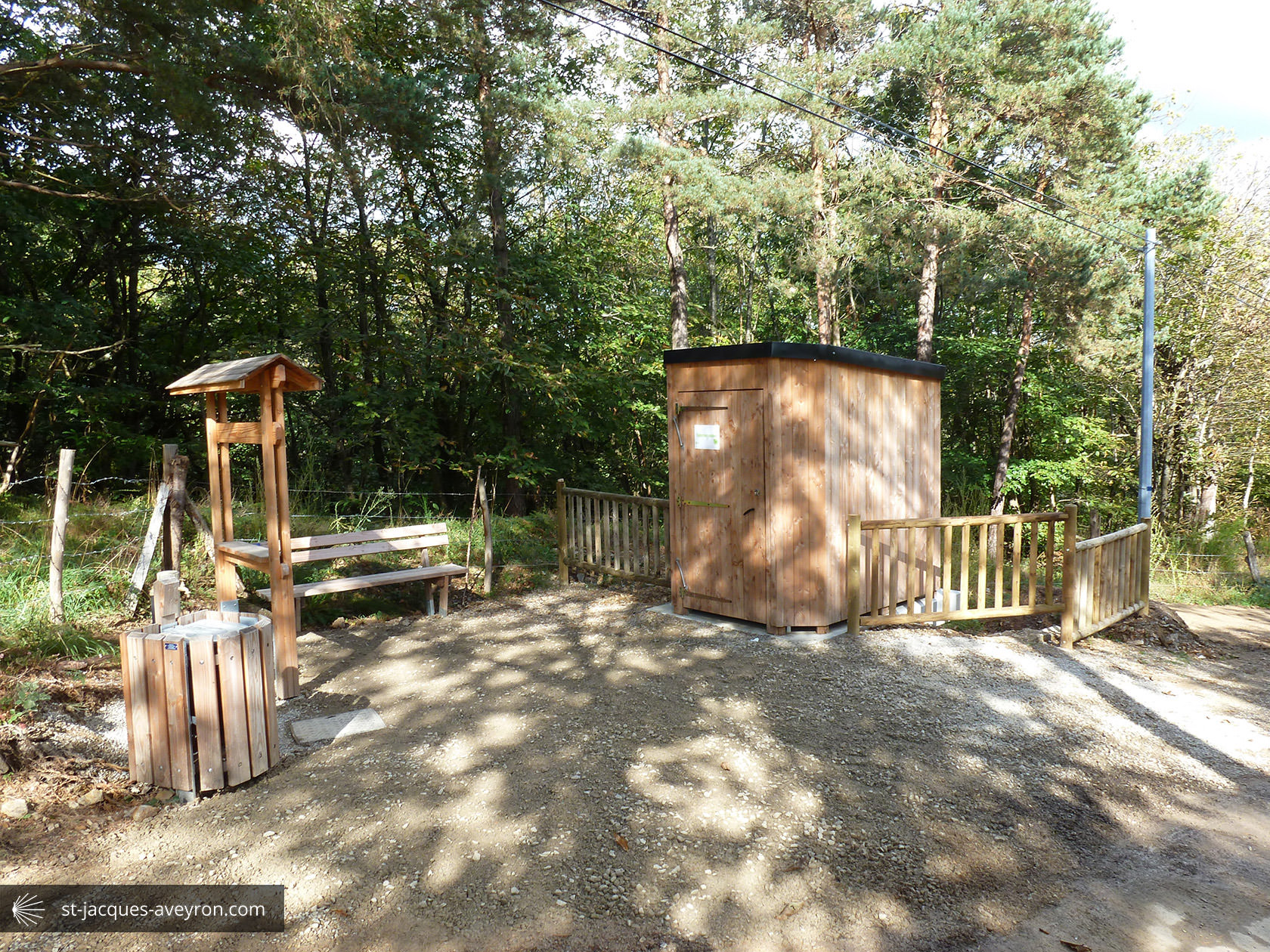
All the way along the route, facilities have been designed for the safety and well-being of users: picnic areas, waterless toilets, footpaths alongside roads, signposts, path maintenance, etc.